

Mt. Pleasant, San Jose, CA




Mt. Pleasant at a Glance
Mt. Pleasant is ranked #71 of 112 neighborhoods in San Jose with an overall score of 3.0/5. Its standout factor is safety (4.1/5, 34th of 112 in San Jose), at a typical home price of $1.14M. The trade-offs are nearby merchants (2.2/5) and schools (2.3/5), though prices run about 22% below the San Jose typical home price.
Mt. Pleasant Reviews & Questions

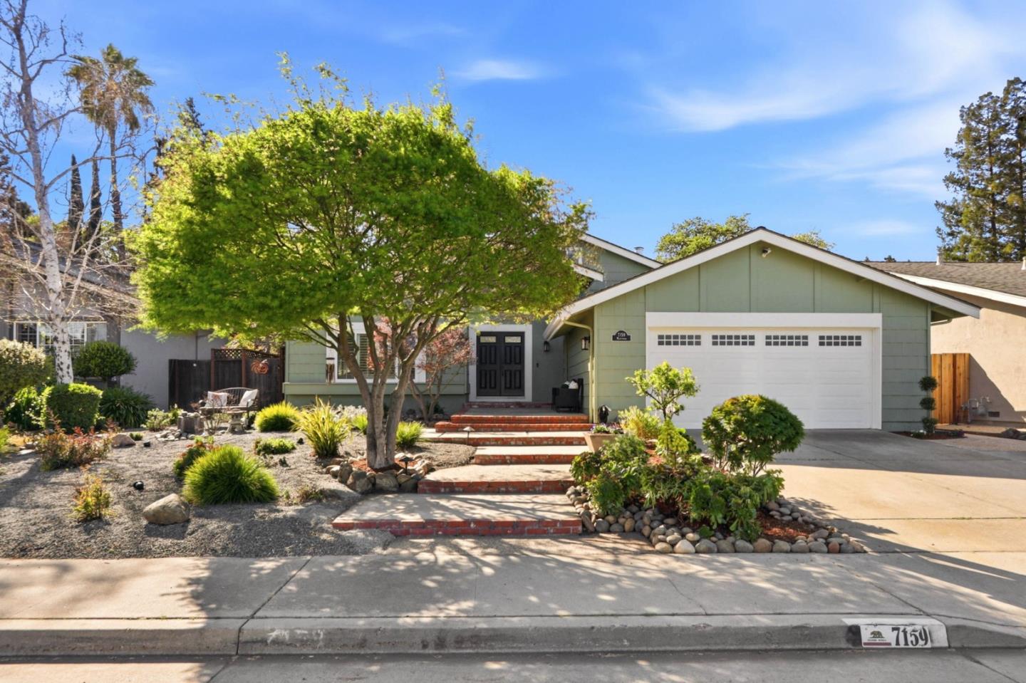
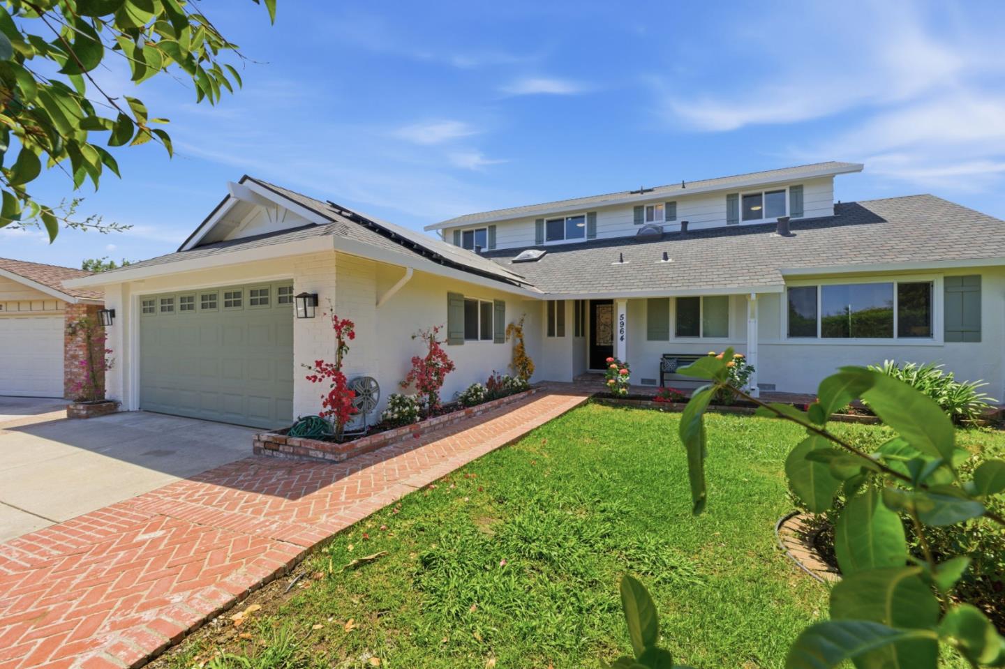
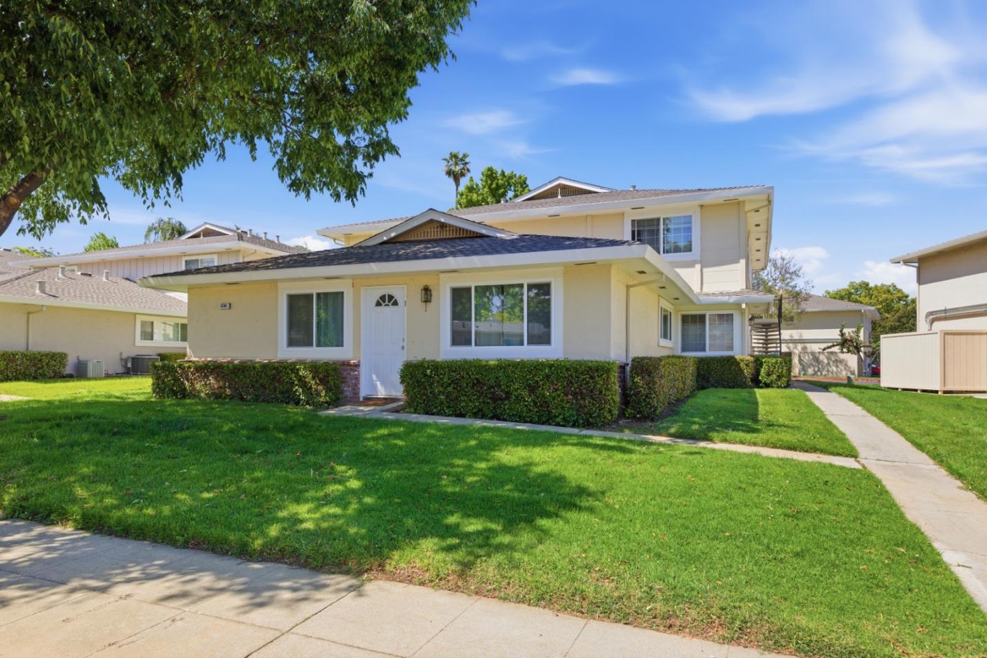
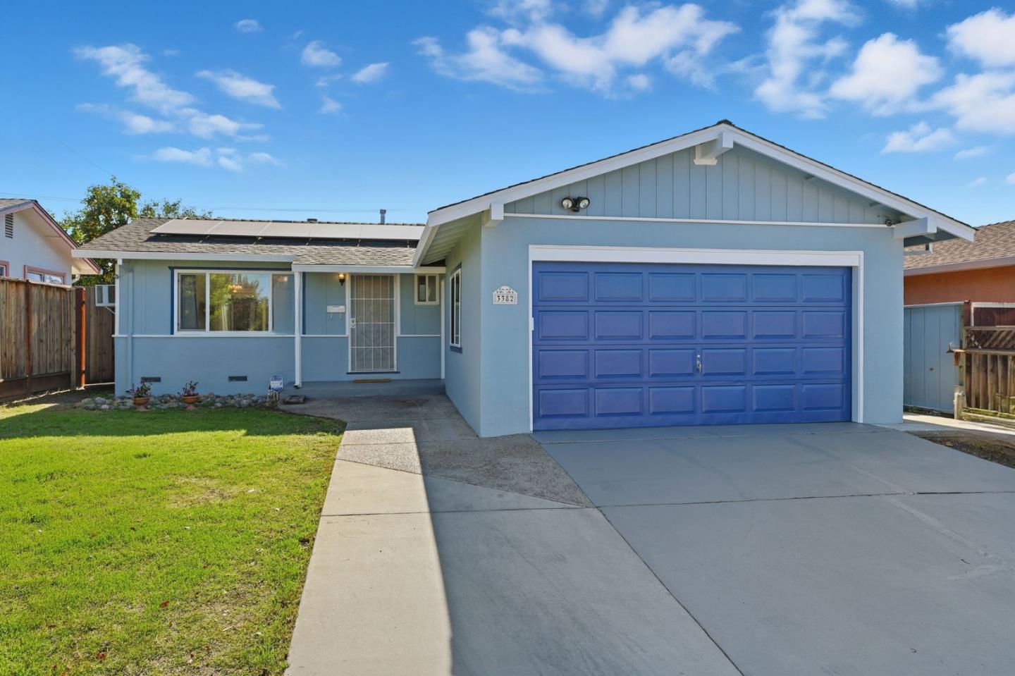
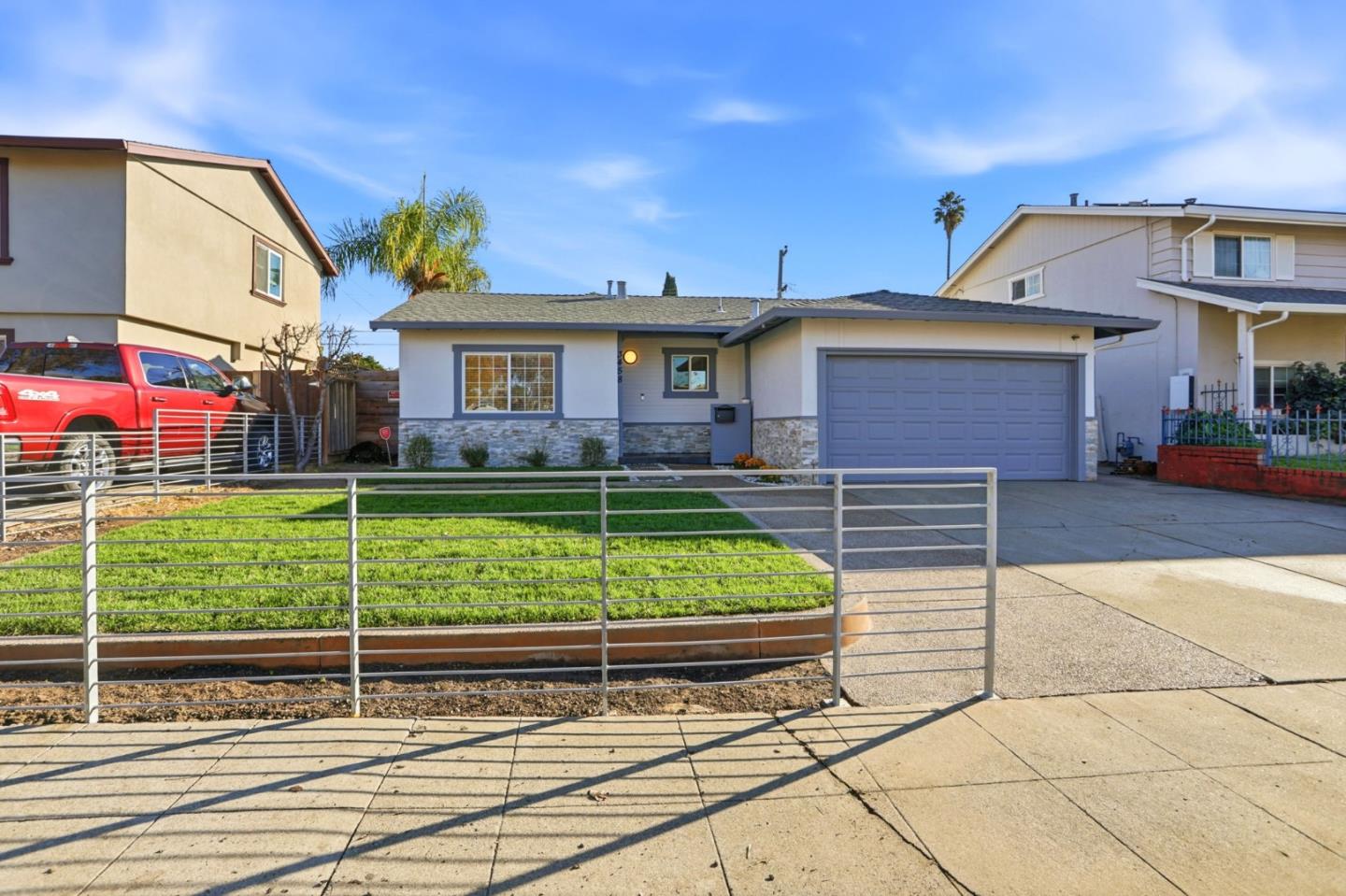
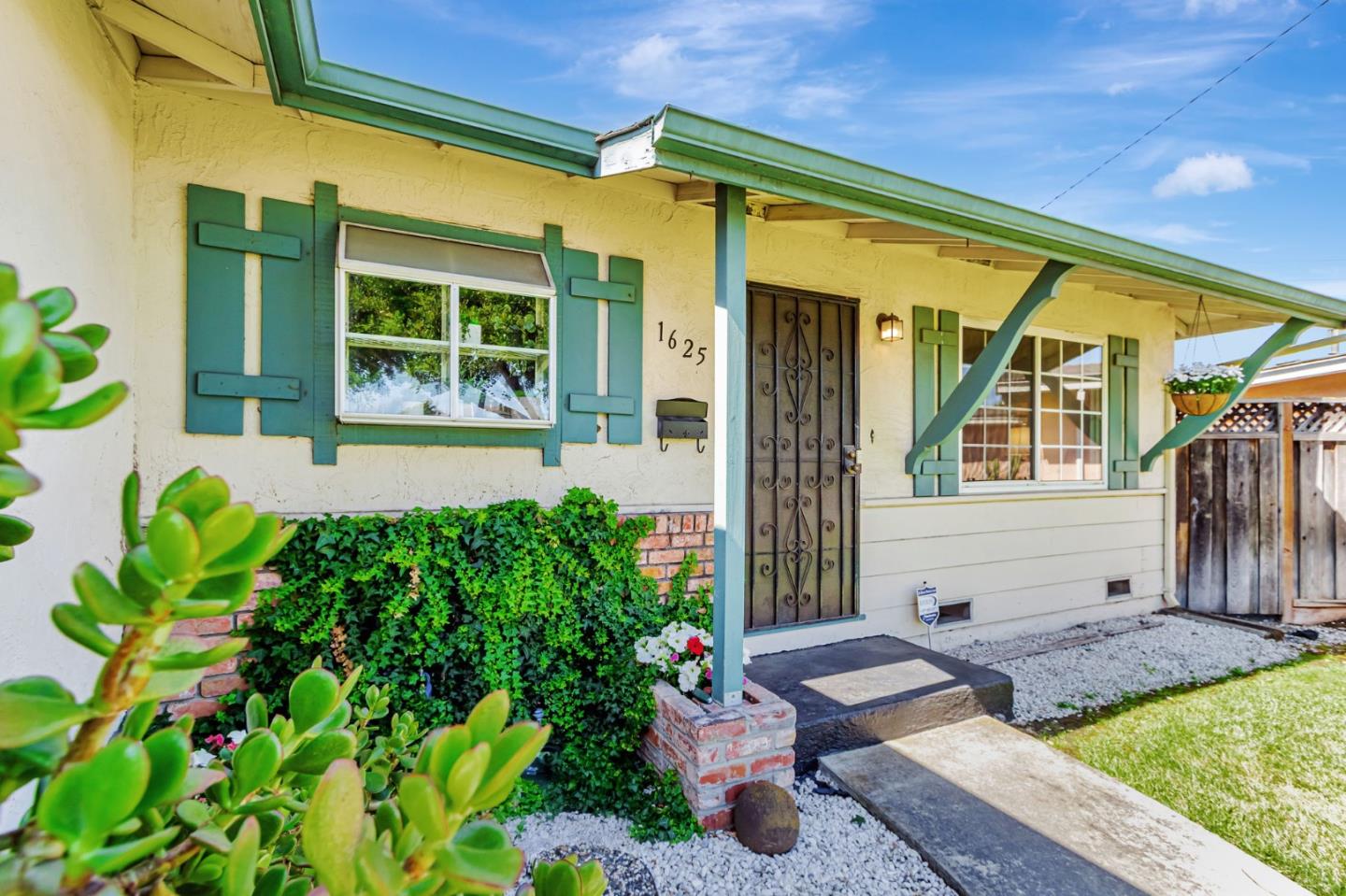
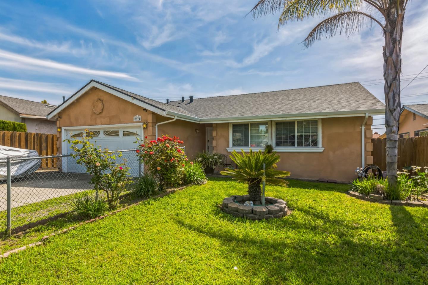
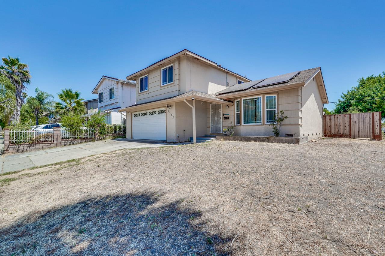
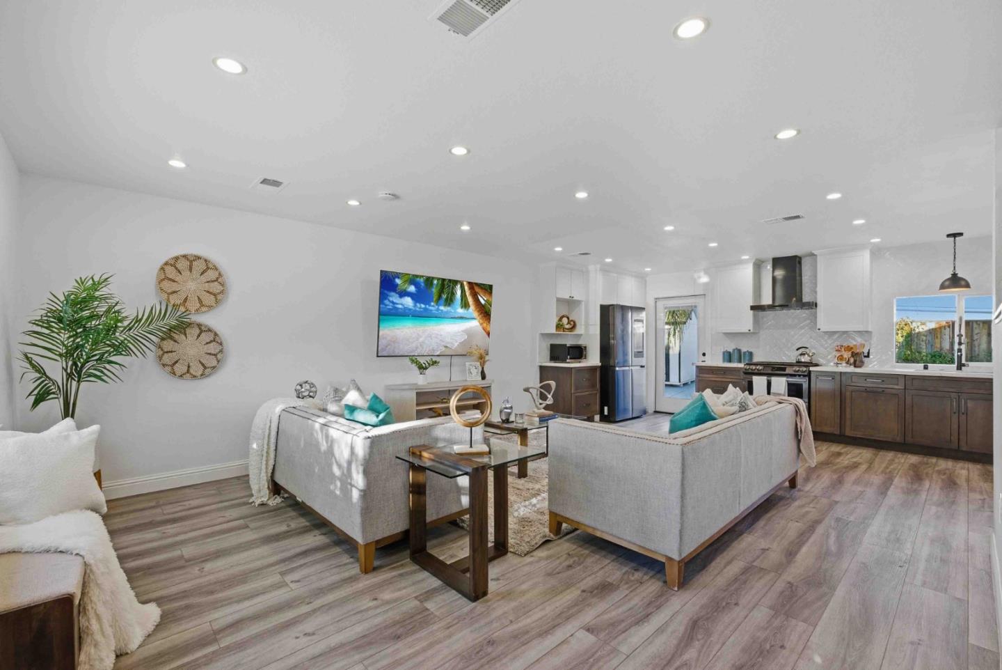
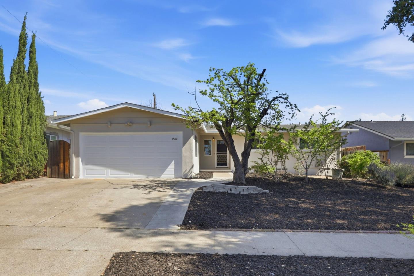
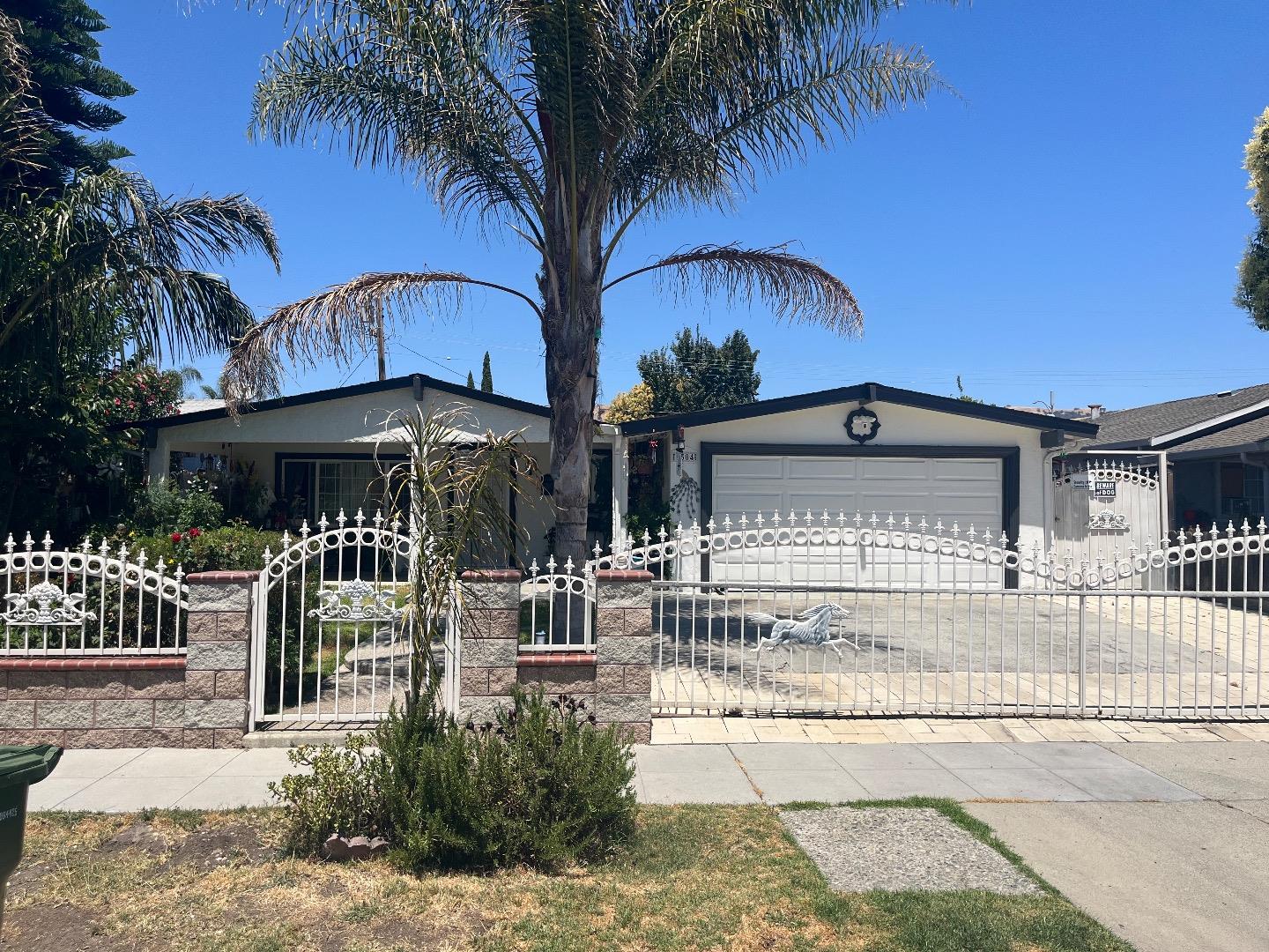
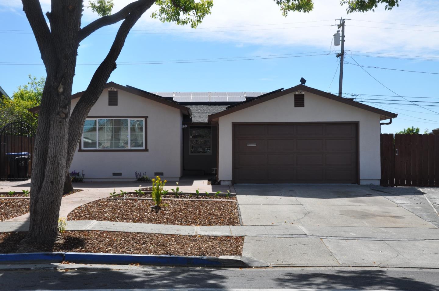
In San Jose, Mt. Pleasant is a foothill-base neighborhood on the East Side, anchored by the high school that shares its name and gives the area its Friday-night identity. Set where the valley floor along White Road begins to rise toward the hills, it is a mid-century single-family district that has the feel of a settled, slightly-removed pocket, closer to the open country than the dense flats to the west. Most homes are mid-century single-family houses on standard lots. The ground rises toward the east, so some blocks pick up a slope and a partial view back across the valley, and plenty of houses have been updated or enlarged over the years. Food mostly comes from White and Story roads. La Birrieria, a small Mexican kitchen on South White Road, builds its menu around birria. On Story Road, the Tacos Chencho truck and Tacos Genesis are two well-reviewed taco stops a few blocks apart. The White Road Plaza at Story and White has Rica Panaderia for pastries and a Starbucks for morning coffee. That same plaza is the errand stop, with Cardenas Market for groceries and Ross, Dollar Tree and O'Reilly filling in the rest. Eastridge Center and its transit hub are an easy drive south, Orange Line trains leave from the Alum Rock Transit Center to the northwest, and the closest freeway is I-680. Outdoors, the high school's fields double as open space, and Welch Park on Clarice Drive, a short drive away, has playgrounds, a softball field, a community center and a dog park nearby. Lake Cunningham Regional Park, down White Road, has a path around the water and a big skate and BMX park, and Alum Rock Park's canyon trails are a quick drive north. For a buyer who wants a quieter, foothill-adjacent East Side street anchored by a real high school, at a reasonable price, Mt. Pleasant is a low-key, livable choice.
Top Neighborhoods in San Jose, CA


Mt. Pleasant Amenities
 Near good merchants
2.2
 Public Spaces
3.1
 Curb Appeal
3.1
Overall Amenities score: 2.9
Mt. Pleasant Weather
Mt. Pleasant Photos
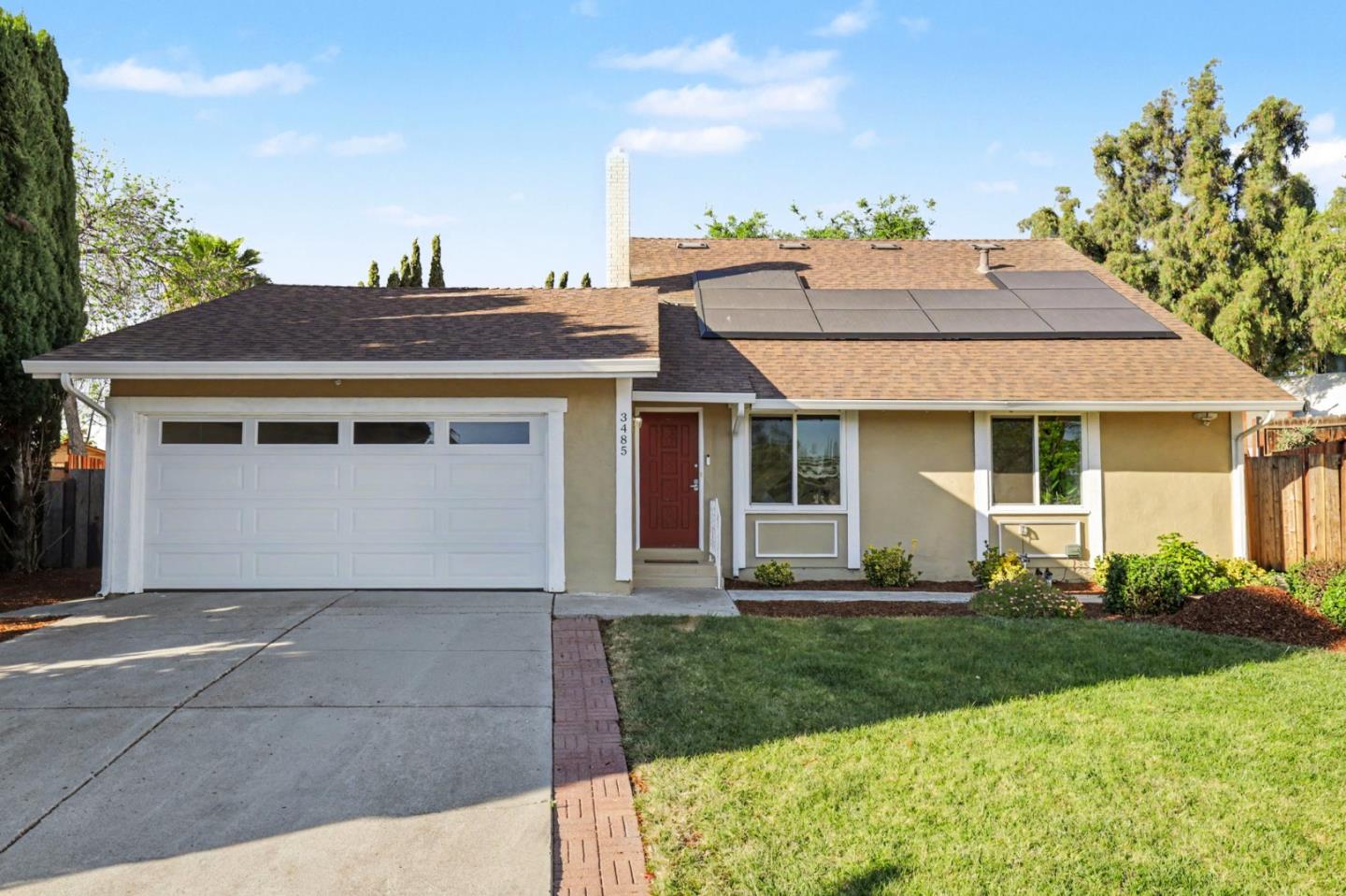
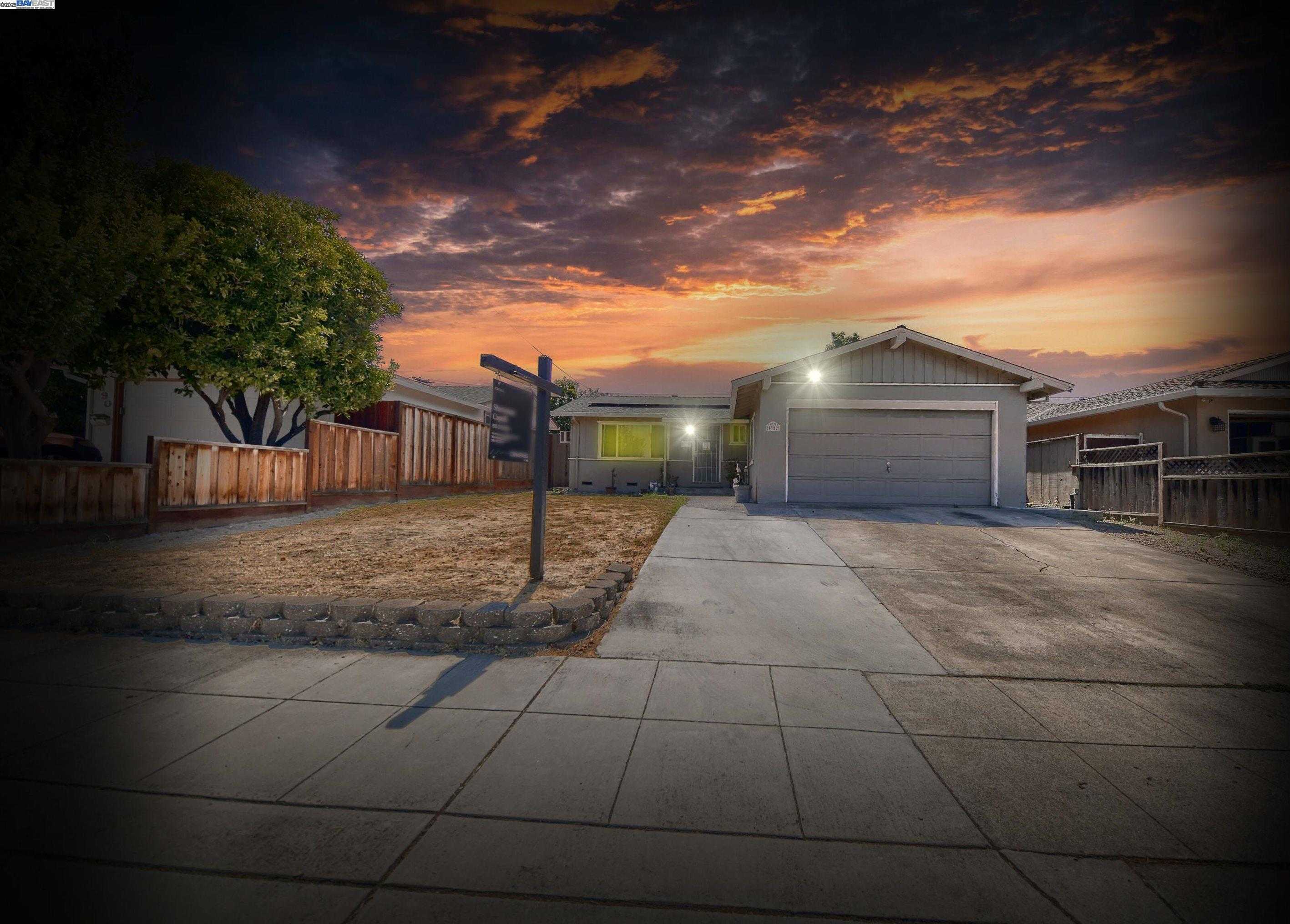
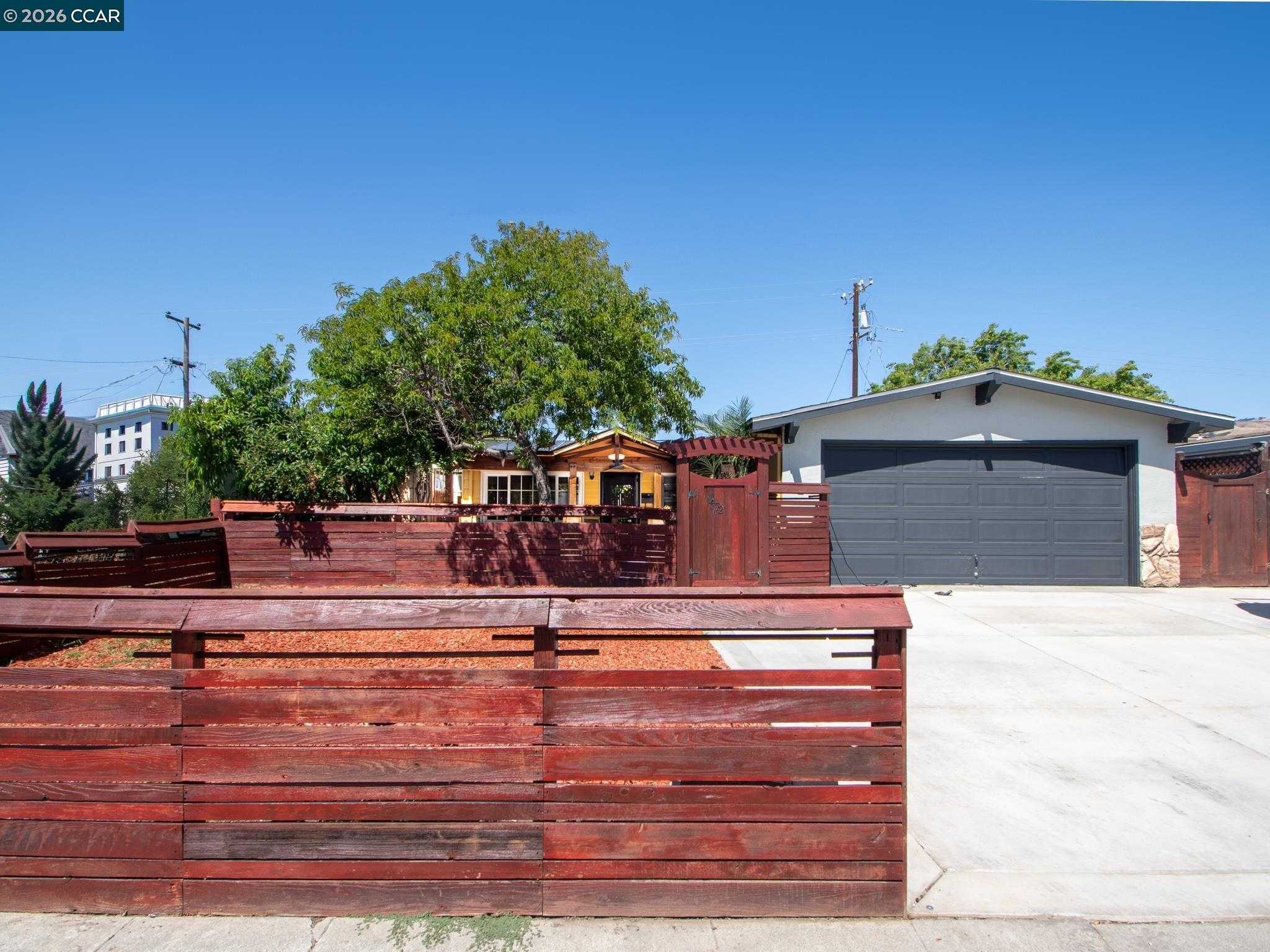
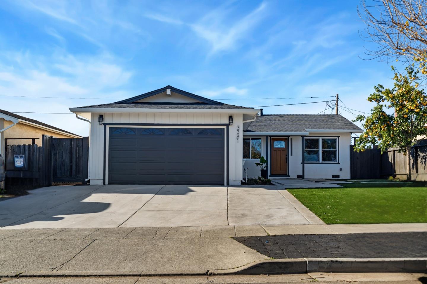
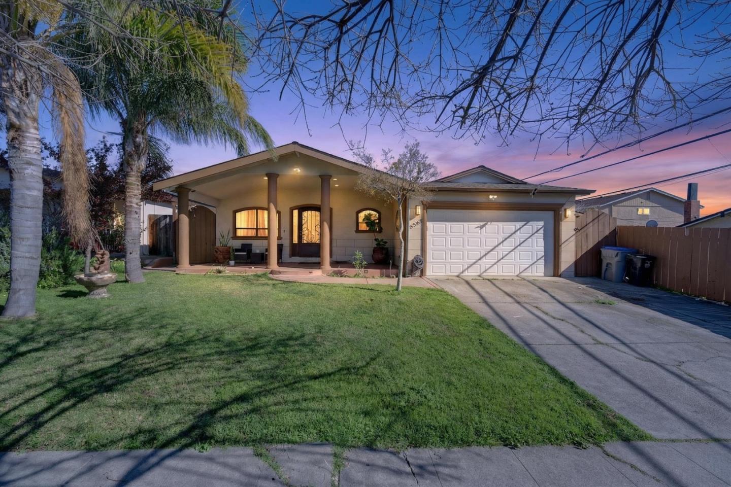
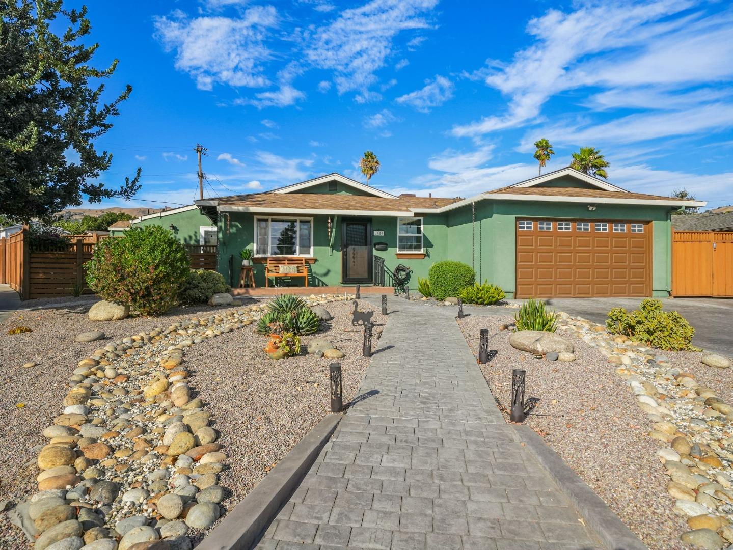
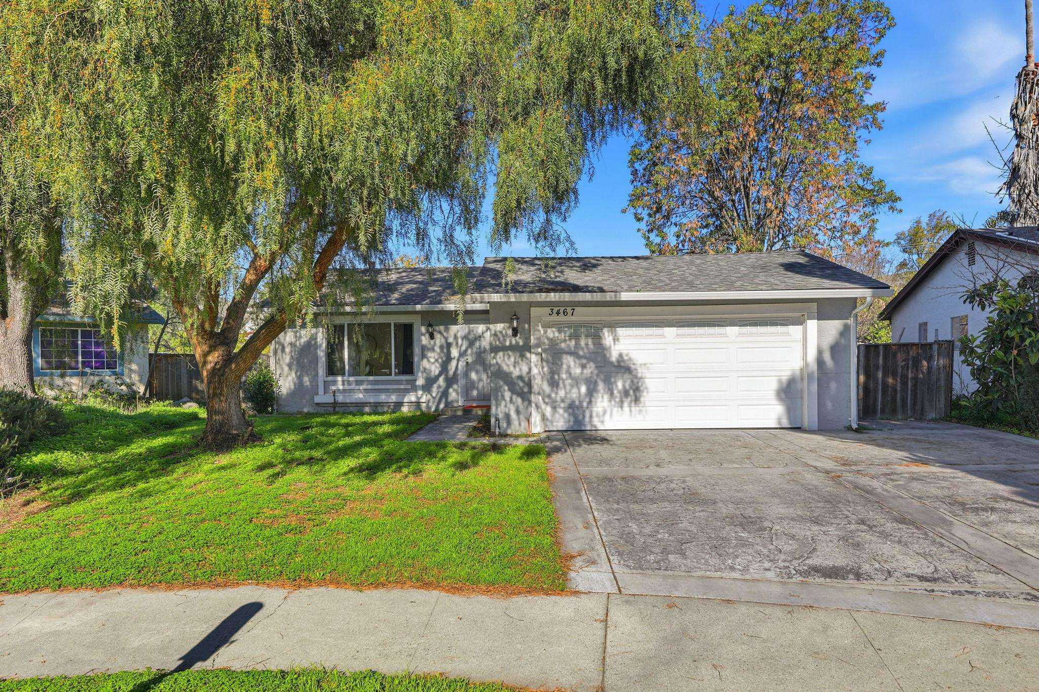
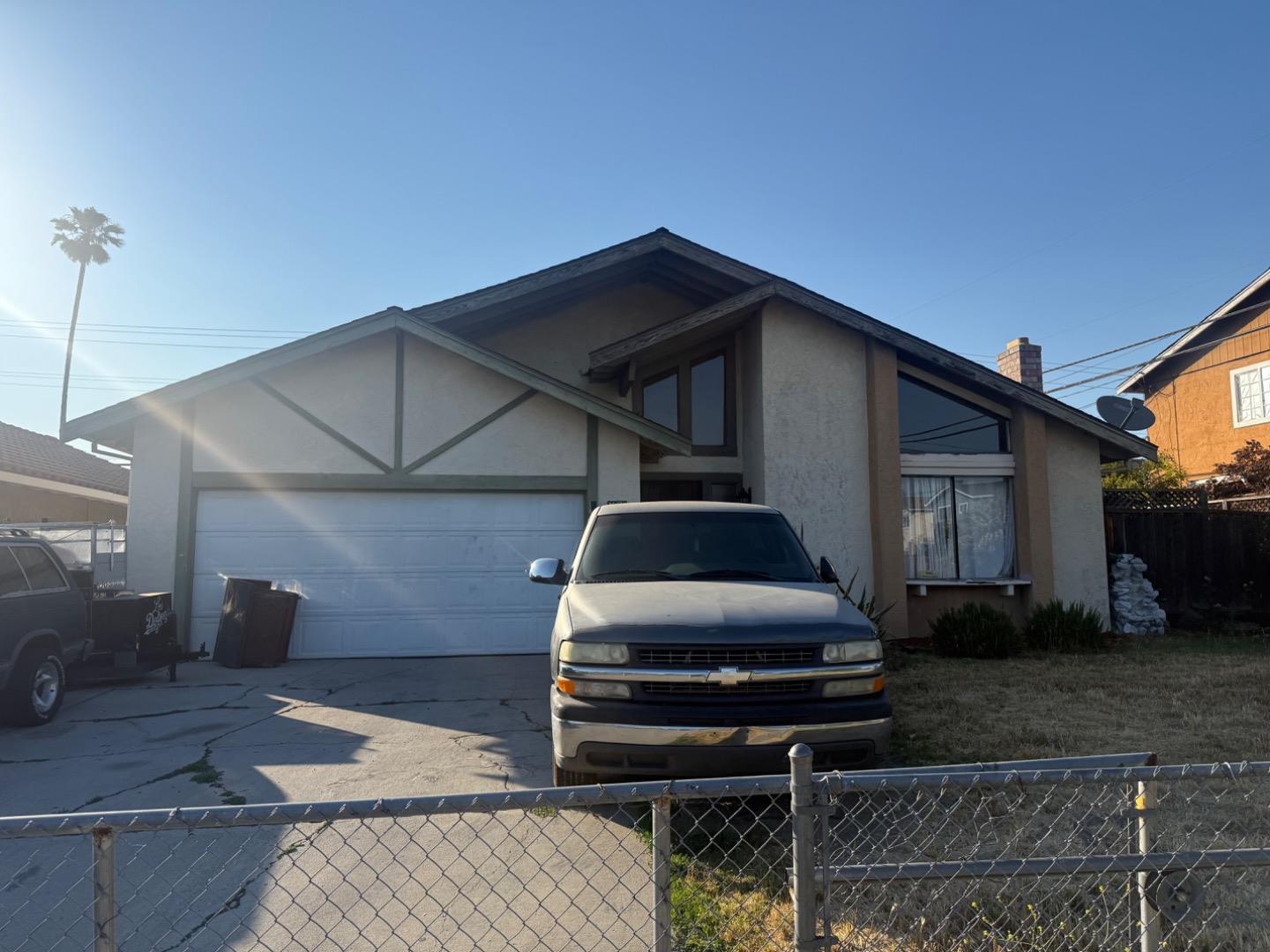
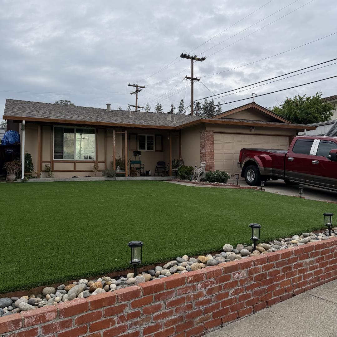
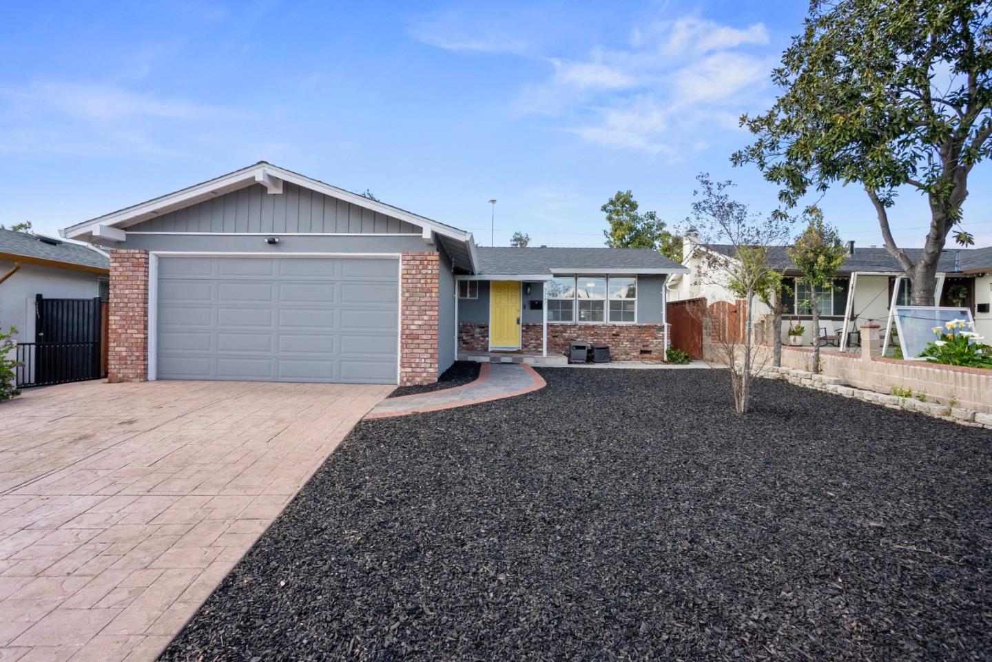
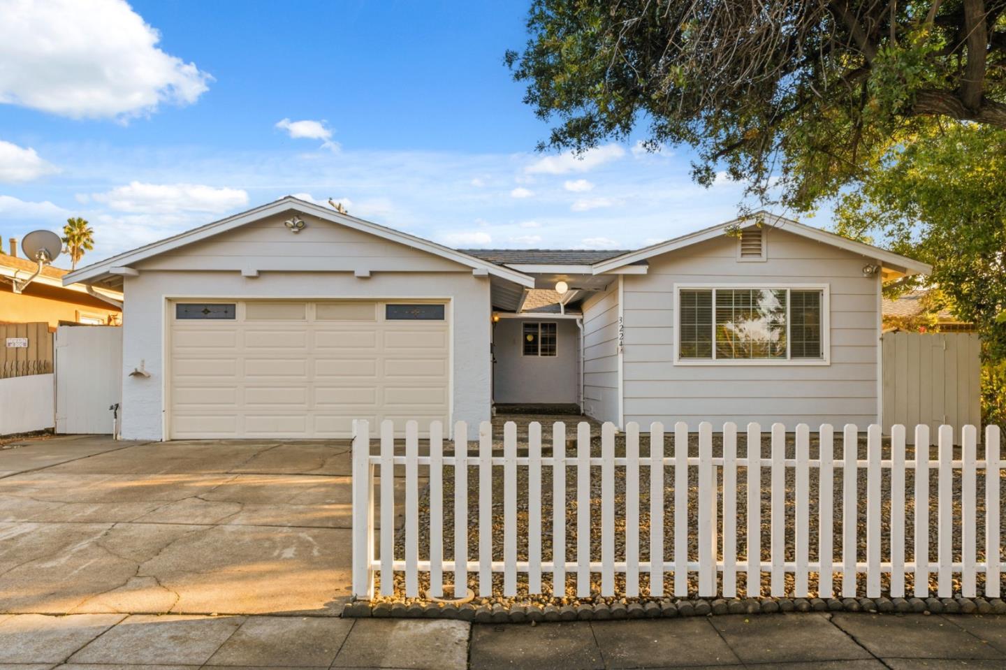
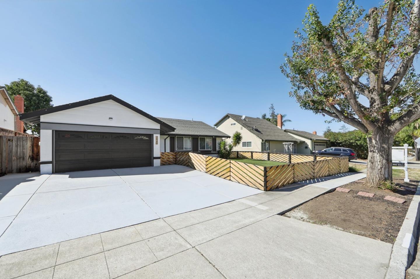
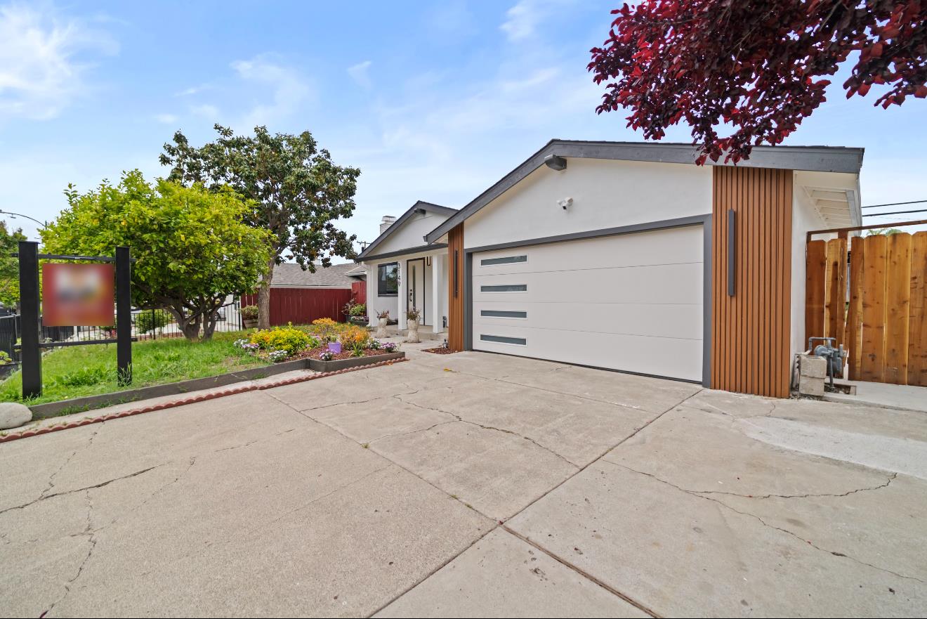
1 of 22
Schools Serving Mt. Pleasant
| School Name | Type | Grades | Houseberry School Score |
|---|---|---|---|
| Valle Vista Elementary | Primary | K-5 | |
| August Boeger Middle | Middle | 6-8 | |
| Mt. Pleasant High | High | 9-12 | |
| Mount Pleasant Elementary School |
Click links for school listing
info at GreatSchools.org
Houseberry School Score Data
from CA Dept. of Education
Houseberry recommends using these scores as only a starting point, and conducting your own investigation into what schools fit best for your preferences. School boundaries are not guaranteed and may change. It is important to contact the appropriate school district to confirm enrollment eligibility before making any decision to move to a neighborhood.
Mt. Pleasant Home Prices
Mt. Pleasant FAQs
10 answers
Is Mt. Pleasant a good place to live?
Mt. Pleasant ranks 71st of 112 neighborhoods in San Jose with an overall Houseberry score of 3.0 out of 5. Its strongest factor is safety (4.1/5). The trade-offs are nearby merchants (2.2/5) and schools (2.3/5).
Is Mt. Pleasant safe?
Mt. Pleasant, San Jose scores 4.1 out of 5 on Houseberry's Safety Score, ranking 34th of 112 neighborhoods in San Jose.
What do homes in Mt. Pleasant cost?
The typical home price in Mt. Pleasant, San Jose is $1.14M, compared with $1.47M for San Jose as a whole.
Are home prices in Mt. Pleasant rising or falling?
The typical home price in Mt. Pleasant, San Jose is up about 2.3% over the past 12 months, at $1.14M. The full 12-month history is charted in the Typical Home Price section on this page.
Which schools serve Mt. Pleasant?
Schools serving Mt. Pleasant, San Jose include Valle Vista Elementary (2.1/5), August Boeger Middle (2.5/5), Mt. Pleasant High (3.0/5) and Mount Pleasant Elementary School (1.0/5).
What is the weather like in Mt. Pleasant?
Mt. Pleasant, San Jose receives 79% of its possible sunshine, 57th of 114 in San Jose. Summer days run 56° to 81°F and winter days 42° to 60°F, August is the warmest month and rainfall averages about 15 inches a year.
Is Mt. Pleasant walkable to shops and restaurants?
Mt. Pleasant, San Jose scores 2.2 out of 5 for nearby merchants and 3.1 out of 5 for public spaces. Its overall amenities score is 2.9 out of 5, 96th of 112 in San Jose.
What is Mt. Pleasant known for?
Mt. Pleasant, San Jose is associated with Mt Pleasant High, White Road and Foothill Edge. Its highest-scoring factor is safety (4.1/5).
How does Mt. Pleasant compare to other San Jose neighborhoods?
Mt. Pleasant ranks 71st of 112 neighborhoods in San Jose. It ranks 34th of 112 in San Jose for safety (4.1/5) and scores lowest on nearby merchants (2.2/5). The highest-ranked neighborhoods in San Jose are Graystone and Calabazas North.
What are the downsides of living in Mt. Pleasant?
Mt. Pleasant, San Jose scores lowest on nearby merchants (2.2/5) and schools (2.3/5).
1 of 22
Mt. Pleasant Map
View Full Map
All information provided on this website including but not limited to - school ratings, safety, amenities, user opinions, and property data - is for general informational purposes only. We do not guarantee its reliability, accuracy, or completeness. Users should independently verify information and consult appropriate professionals as needed. By using this website, you agree Houseberry is not responsible for actions, decisions, or consequences arising from reliance on the information provided
houseberry.com - CA DRE# 01847391
 Bay East ©2025. CCAR ©2025. bridgeMLS ©2025. Information Deemed Reliable But Not Guaranteed. This information is being provided by the Bay East MLS, or CCAR MLS, or bridgeMLS. The listings presented here may or may not be listed by the Broker/Agent operating this website. This information is intended for the personal use of consumers and may not be used for any purpose other than to identify prospective properties consumers may be interested in purchasing. Data last updated at October 13, 2026 12:00 AM