

18-20 Beverly St, San Francisco, CA 94132
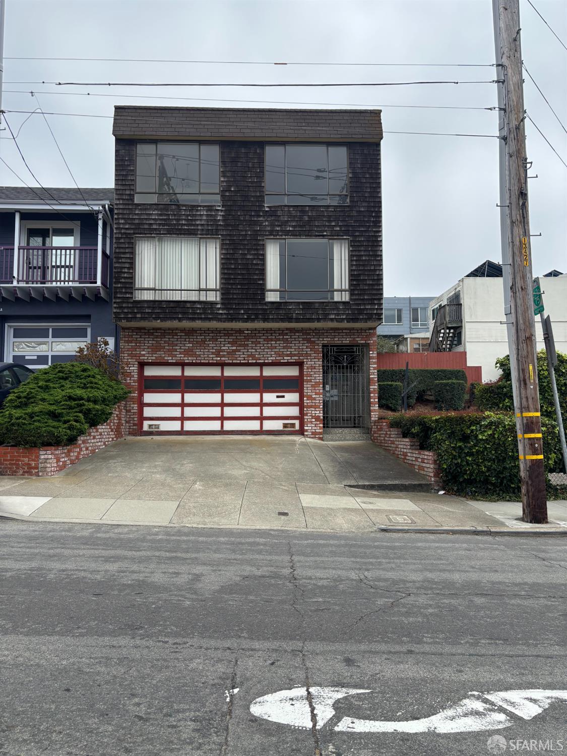




About this home
 Houseberry Summary
18-20 Beverly St is a duplex in Ingleside Heights, sold for $1,430,000 on Aug 11, 2026 ($489 per sq ft). That is 33% above Ingleside Heights's median price of $1.08M. Ingleside Heights has a 4.4/5 safety score. The home is assigned to Ortega (Jose) Elementary, which Houseberry scores 4.5/5, 0.3 mi away.
Fantastic Investment Opportunity! Duplex near SF State University & a short walking distance to Stonestown Galleria(Shopping Mall). Easy access to Hyw 280 South to the airport and the Peninsula.
Property history
How this price compares
| Recent sales in Ingleside Heights | Sold date | Sold price | Price / sq ft | Sold vs. list price |
|---|---|---|---|---|
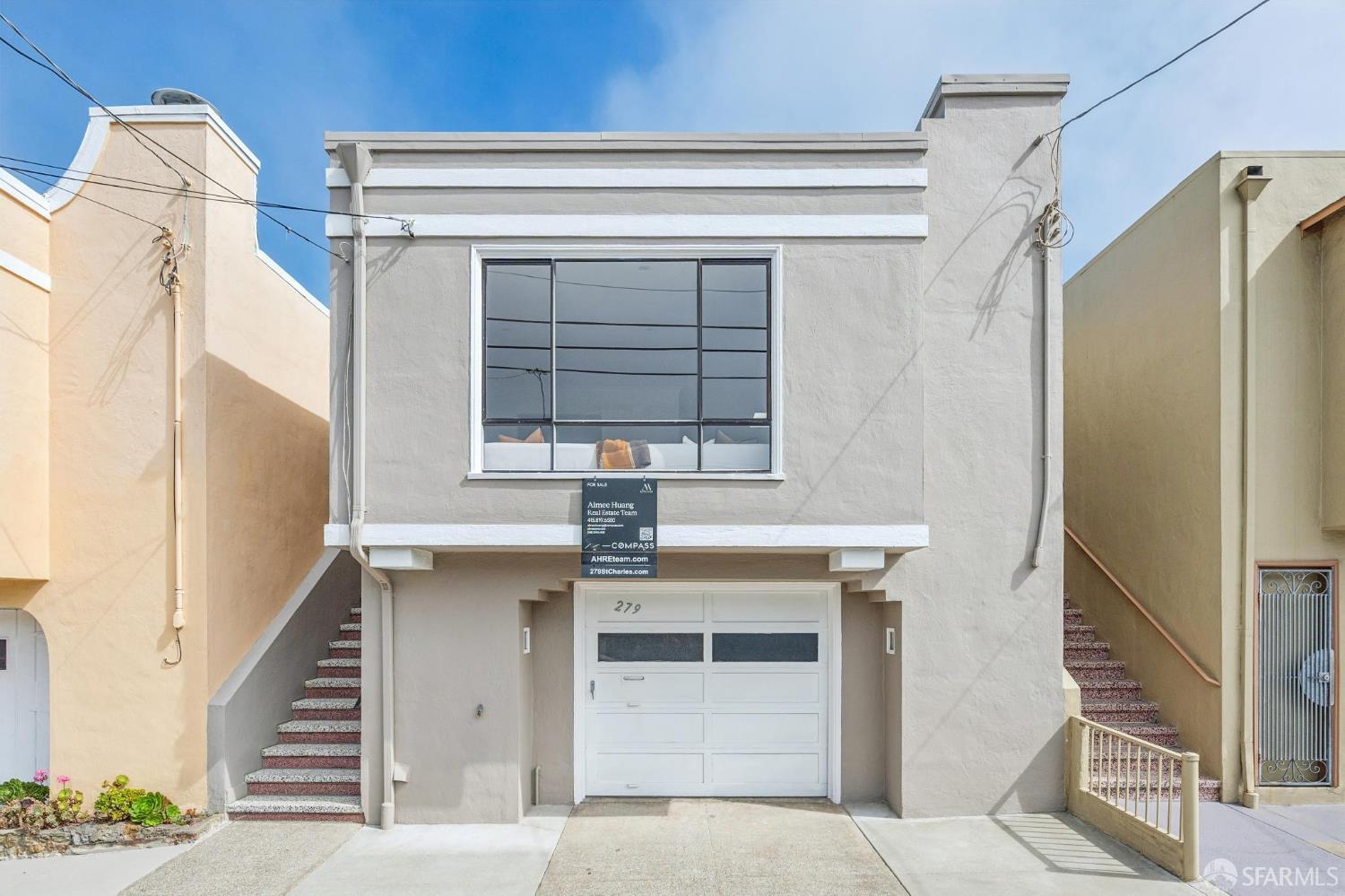
| 279 St Charles AveNov 2, 2026 | Nov 2, 2026 | $1,450,000$826/sq ft · +45% over list | $826 | +45% over list |
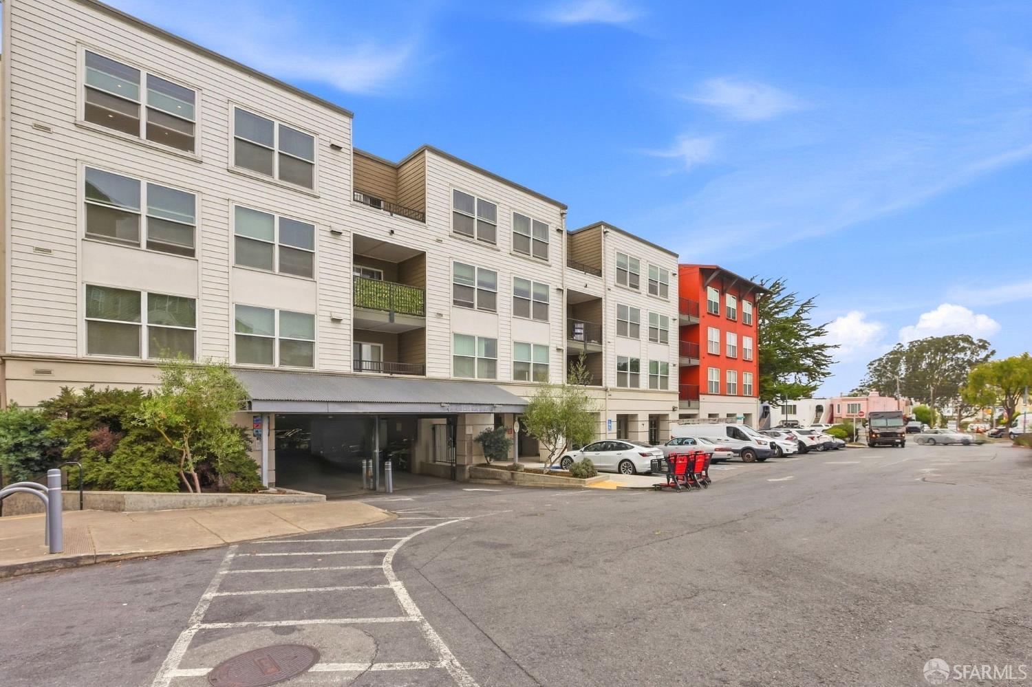
| 3981 Alemany Blvd #302Oct 20, 2026 | Oct 20, 2026 | $500,000$746/sq ft · −2% under list | $746 | −2% under list |
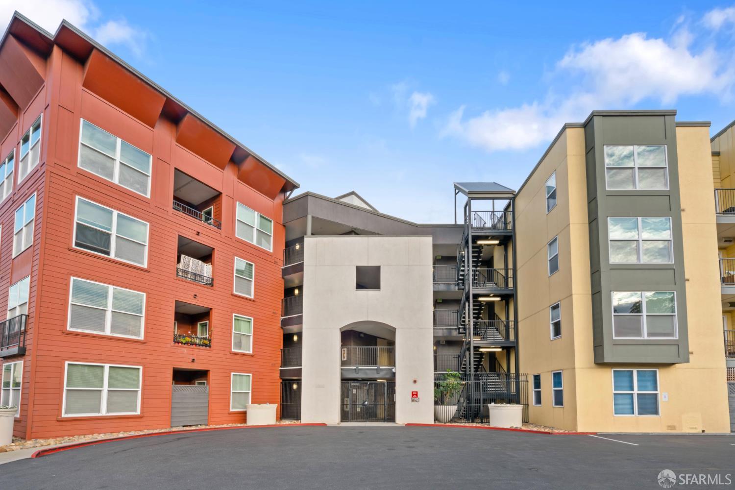
| 8300 Oceanview Ter #307Oct 19, 2026 | Oct 19, 2026 | $690,000$718/sq ft · −1% under list | $718 | −1% under list |
Schools serving this home
- 4.5/5
Living in Ingleside Heights


What’s near 18-20 Beverly St
Straight-line distances to each place; walk times assume 3 mph, and places over 1 mile show a drive time at 15 mph. Places from OpenStreetMap (© OpenStreetMap contributors).
Climate in Ingleside Heights
In Ingleside Heights, average highs run from 58° in January and December to 71° in September, and average lows stay between 45° and 54°.
Homes for sale in Ingleside Heights
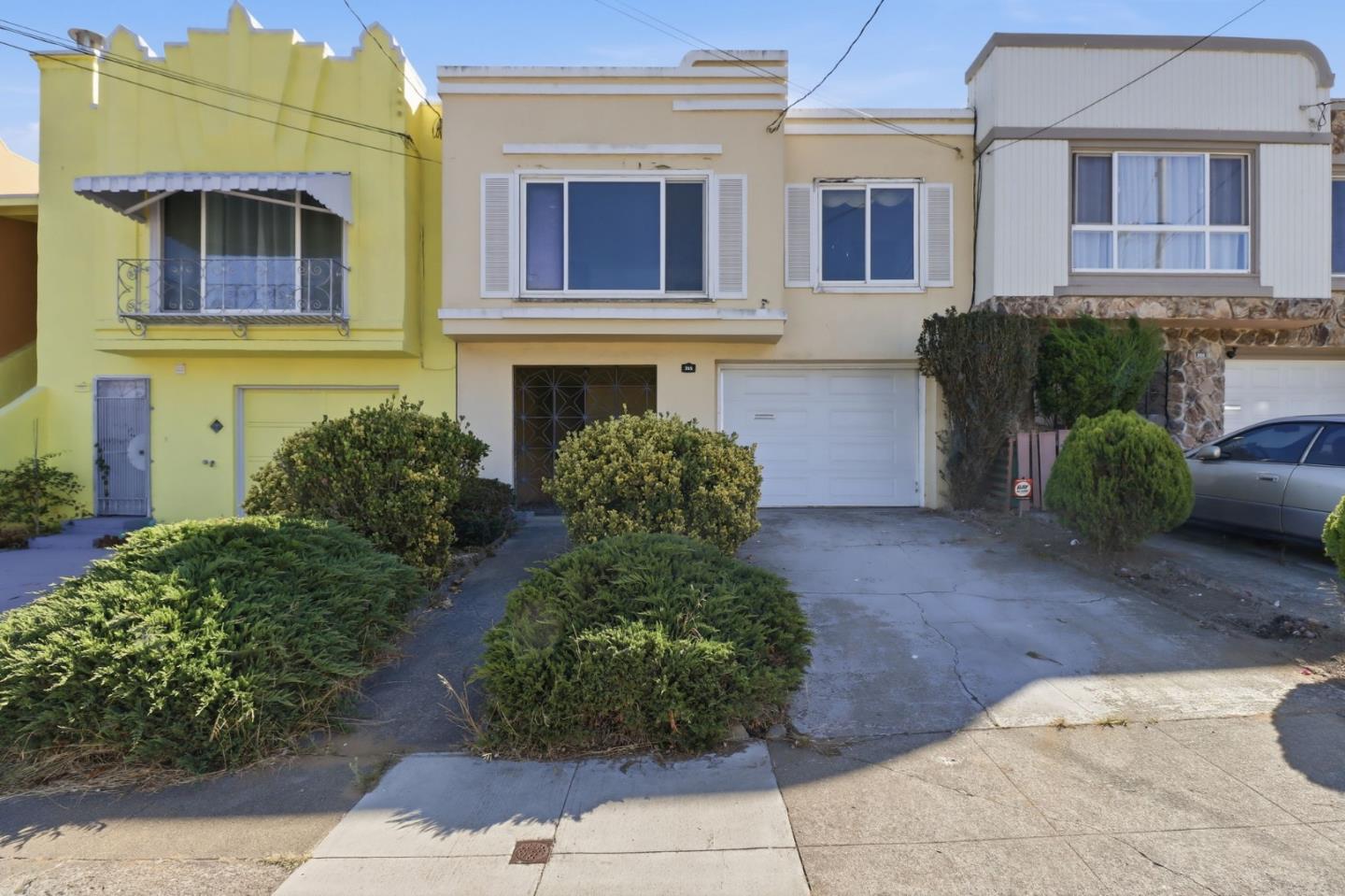
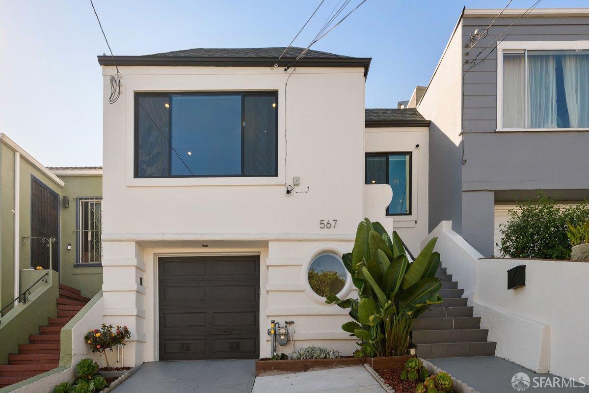
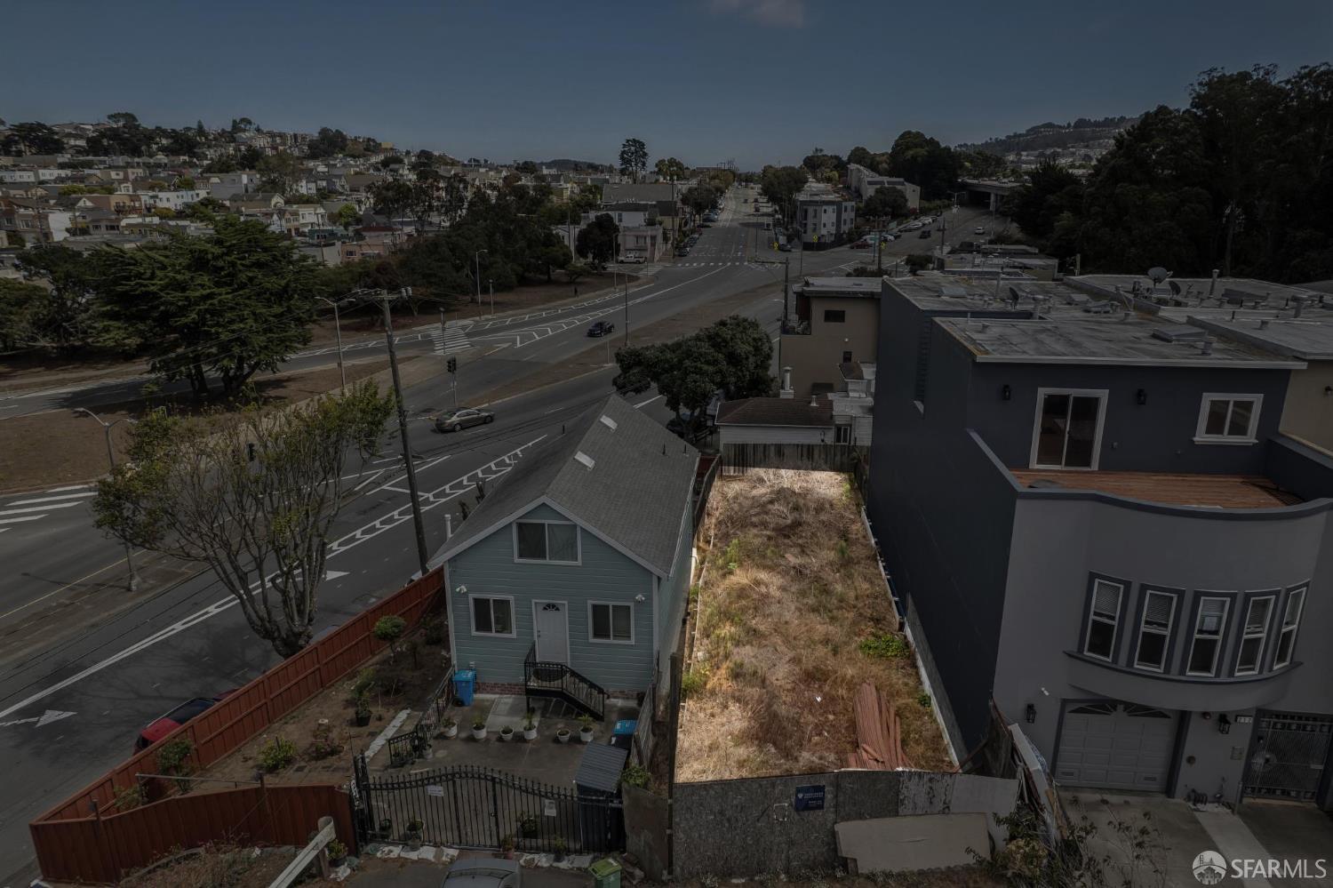

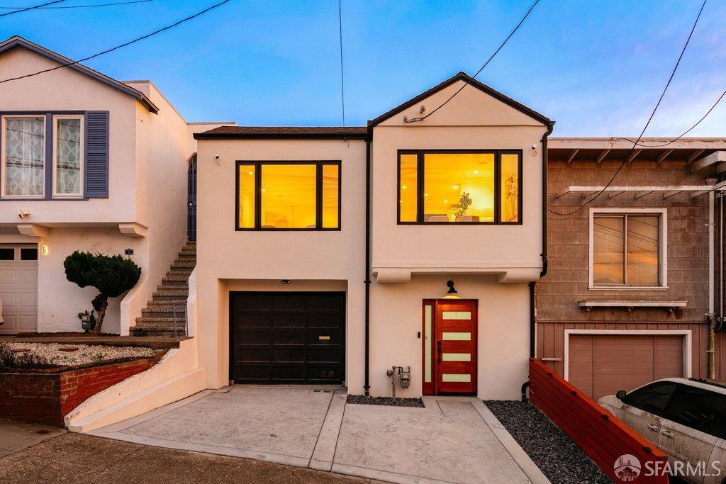
Homes sold in Ingleside Heights






Explore Ingleside Heights and San Francisco
Questions about 18-20 Beverly St
What neighborhood is 18-20 Beverly St in?
18-20 Beverly St is in Ingleside Heights, a neighborhood of San Francisco. Houseberry scores Ingleside Heights 3.3/5 overall.
What did 18-20 Beverly St sell for?
18-20 Beverly St sold for $1,430,000 on Aug 11, 2026, 10% under its list price of $1,585,000 ($489 per sq ft). That is 33% above Ingleside Heights's median price of $1.08M.
What is the price per square foot at 18-20 Beverly St?
18-20 Beverly St works out to $489 per square foot, from the $1,430,000 sale price across 2,925 square feet.
What schools serve 18-20 Beverly St?
Public schools whose attendance boundaries include 18-20 Beverly St: Ortega (Jose) Elementary (elementary, 4.5/5, 0.3 mi). San Francisco public high schools enroll citywide, so no high school boundary applies. Confirm enrollment with the school district.
Is Ingleside Heights safe?
Houseberry's safety score for Ingleside Heights is 4.4/5. Compare it with other neighborhoods on the safest San Francisco neighborhoods ranking.
Is Ingleside Heights a good place to live?
Houseberry scores Ingleside Heights 3.3 out of 5 overall, with 3.0 for schools and 4.4 for safety, each on the same five-point scale. See the full Ingleside Heights profile.
How long was 18-20 Beverly St on the market?
18-20 Beverly St sold after 45 days on the market (listed Jun 27, 2026, sold Aug 11, 2026). Homes in Ingleside Heights took a median 42 days to sell over the past 12 months.
How much do homes sell for in Ingleside Heights?
Over the 12 months to Nov 6, 2026, Houseberry recorded 33 sales in Ingleside Heights, from $430K to $1.68M, with a median of $826 per sq ft. Houseberry's median price for Ingleside Heights is $1.08M. See all Ingleside Heights sales.
What is the weather like in Ingleside Heights?
In Ingleside Heights, average highs run from 58° in January and December to 71° in September, and average lows stay between 45° and 54°.
What other homes are for sale in Ingleside Heights?
4 other homes are for sale in Ingleside Heights, including 355 Chester AVE ($910,000), 567 Head St ($1,495,000) and 216 Head St ($439,000). See homes for sale in Ingleside Heights.
