

Best Neighborhoods in Pittsburg, CA


Clyde ranks first of 17 ranked Pittsburg neighborhoods on overall score, at 3.2 out of 5. Bailey-Oak is next at 3.1 out of 5.
Houseberry scores 17 Pittsburg neighborhoods on schools, safety, amenities, price, value and appreciation. Overall scores in Pittsburg run from 1.3 to 3.2 out of 5, and 0 score 4 out of 5 or higher. Typical home prices range from $451,545 in Bailey Rd to $762,915 in Bailey-Oak across 16 priced neighborhoods. Across the five nearest cities the average overall score is 3.3 out of 5, against 2.2 in Pittsburg.
Learn more about Pittsburg, CA.
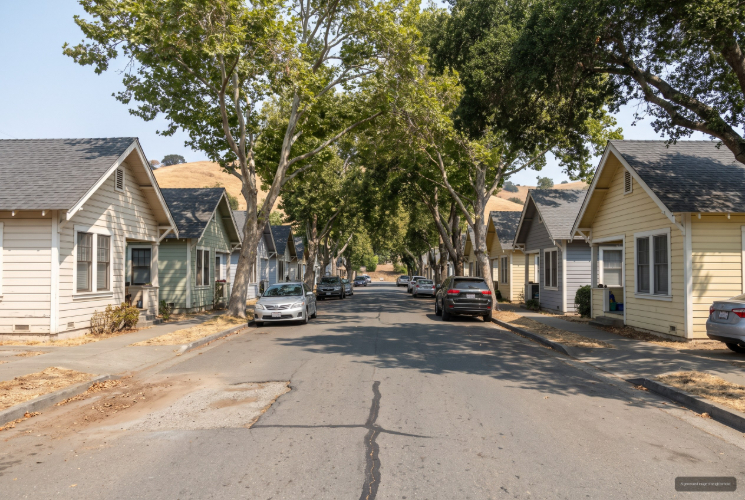
Clyde, Pittsburg, CA



(1) Limited data(2) City data used
Keywords: Historic Bungalows, Company Town, Quiet Enclave
Clyde is the oddball of the Pittsburg, California list, and that is meant as a compliment. It is a tiny historic enclave out near the Concord and Bay Point edge, built around 1917 to house workers tied to the Port Chicago shipyards, and it still reads like the small company town it was. The compact grid of early-twentieth-century bungalows gives it a cohesive, lived-in character you will not find anywhere else nearby. ... See Full Page
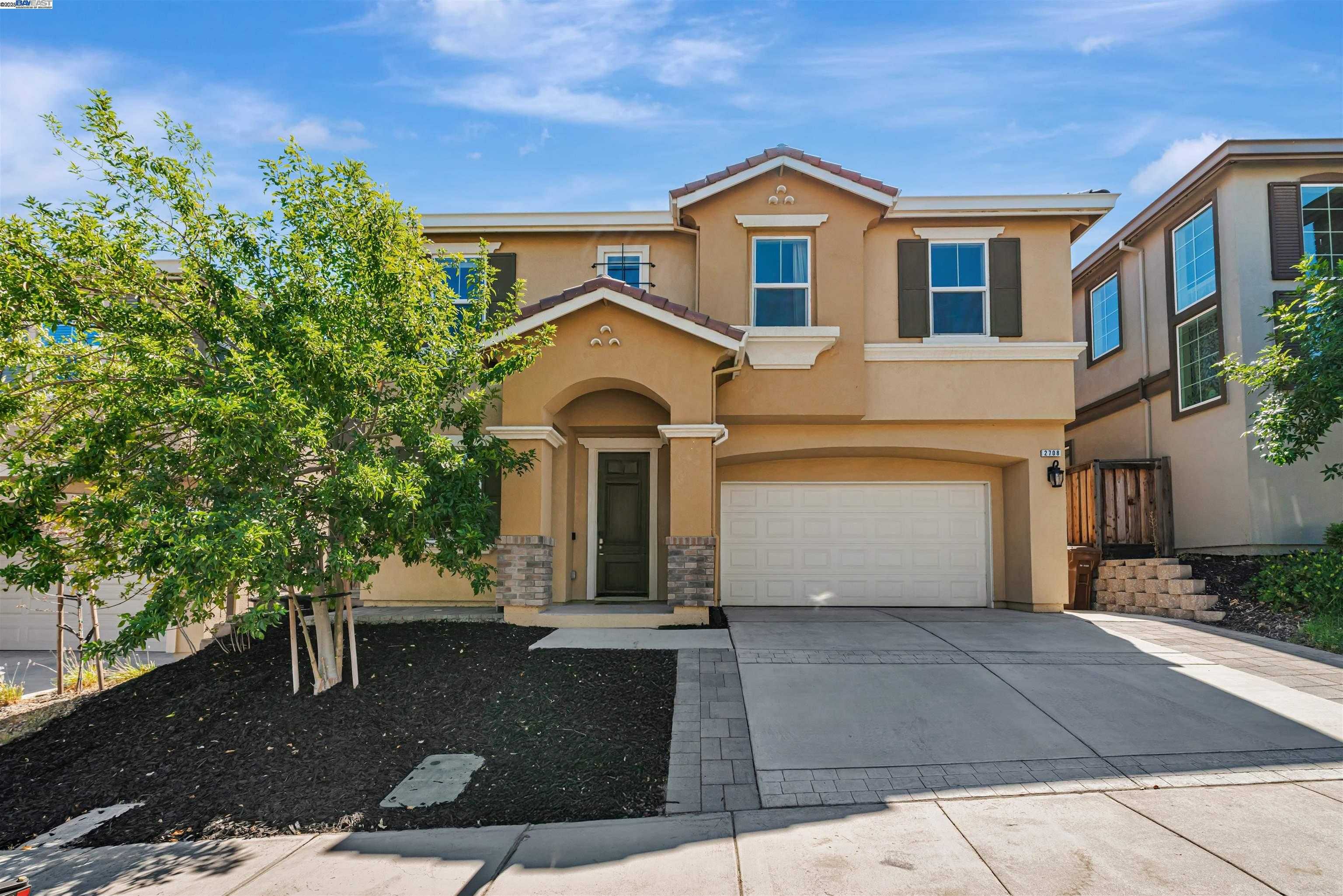
Bailey-Oak, Pittsburg, CA
Keywords: Hillside Homes, Open Space, Concord Border
Bailey-Oak sits at the far southern tip of what Pittsburg, California claims, where Bailey Road climbs toward Oak Grove and the Mount Diablo foothills. Honestly, it reads more like Concord hill country than the flats of Pittsburg, and that is exactly the appeal. These are the newer, larger homes of the bunch, set on streets that back up toward Lime Ridge Open Space and the trails that come with it. ... See Full Page
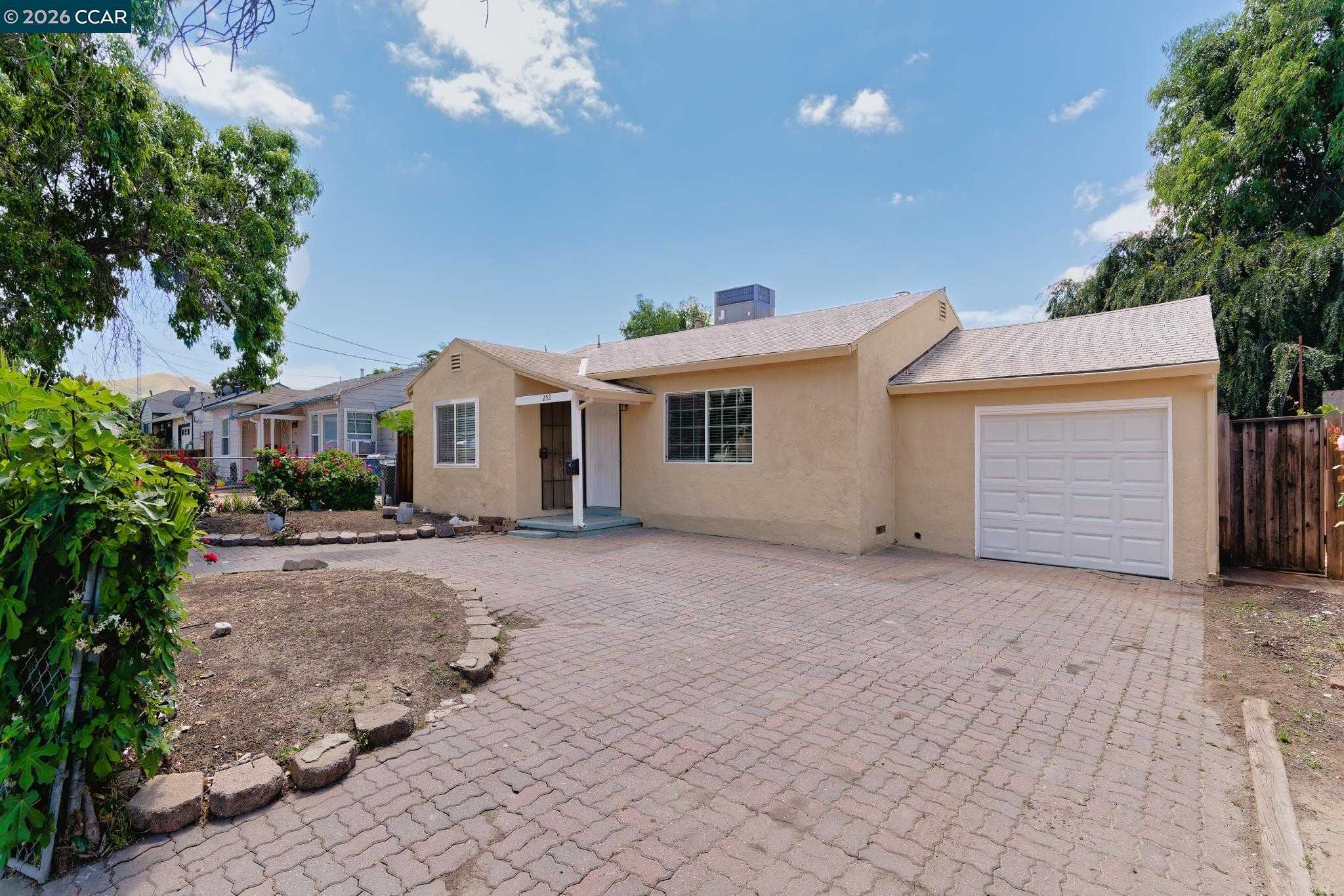
Bailey Rd, Pittsburg, CA
(2) City data used
Keywords: BART Access, Trail Corridor, Bay Point Edge
Bailey Road in Pittsburg, California is less a single block and more the spine that holds the west side of town together. The corridor runs north toward Bay Point and the Pittsburg/Bay Point BART station off Highway 4, so the headline here is access: you can be on a train or the freeway in minutes, which is the whole reason a lot of people land on these streets in the first place. ... See Full Page
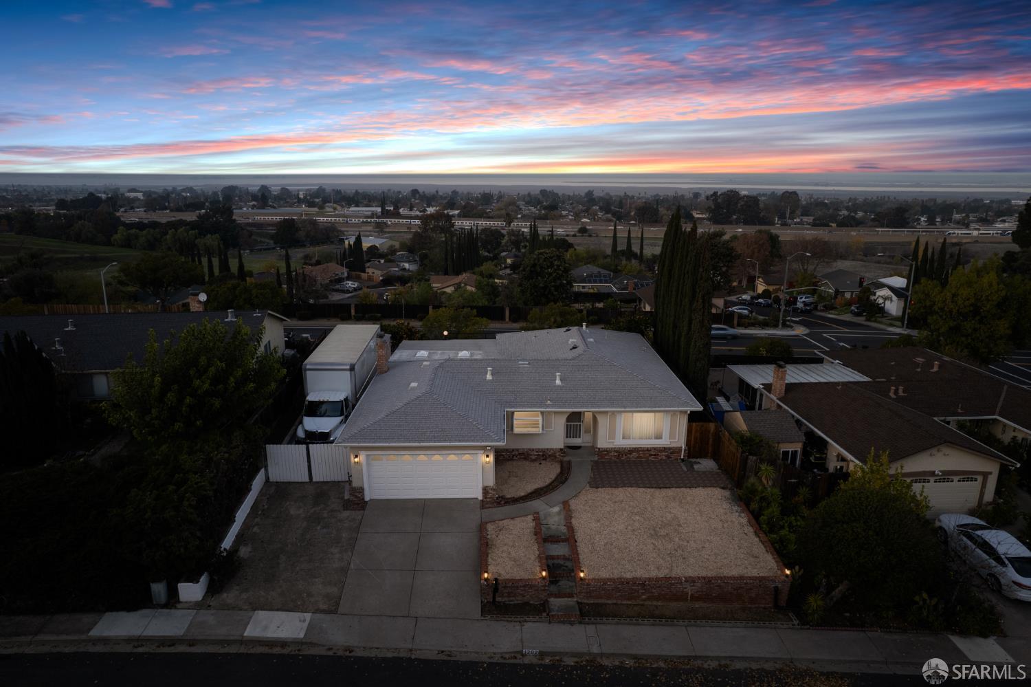
Leland-Bailey, Pittsburg, CA
(2) City data used
Keywords: Residential Streets, Leland Corridor, West Side
The Leland-Bailey pocket sits on the west side of Pittsburg, California, where Leland Road meets the Bailey Road corridor. It is a quieter, mostly residential stretch, set back enough from the busiest roads to keep a calmer feel while still putting the Highway 4 and BART commute within a reasonable reach. ... See Full Page
Somersville, Pittsburg, CA
Keywords: Black Diamond Mines, Hillside Homes, Somersville Road
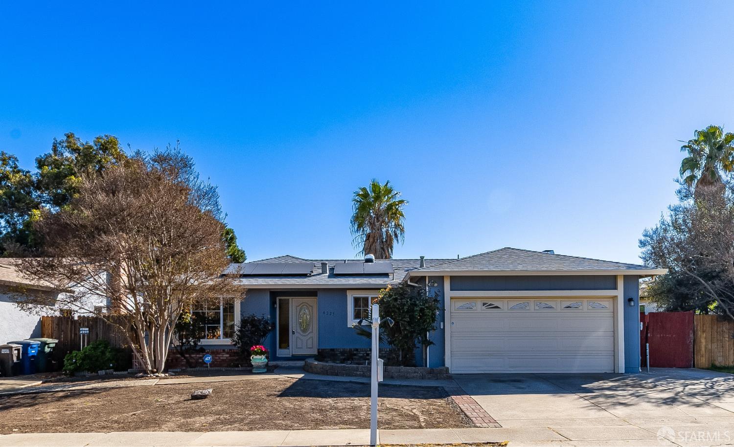
Somersville takes its name from one of the old coal-mining towns that once dotted the hills south of Pittsburg, California, and the modern neighborhood carries that history at its back. Somersville Road runs south from town toward the Black Diamond Mines Regional Preserve, so trailheads, ridgelines, and a genuinely unusual slice of California mining history are close at hand. ... See Full Page
Shore Acres / Nichols, Pittsburg, CA
Keywords: Yacht Harbor, Waterfront Value, Bay Point
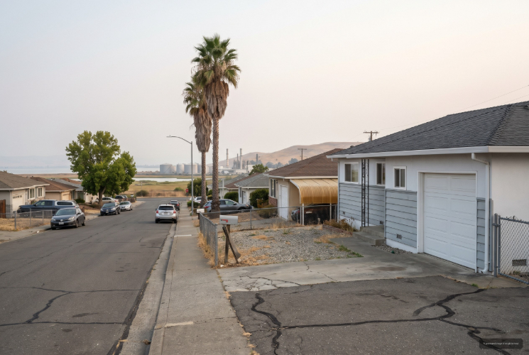
The Shore Acres and Nichols pocket lines the Suisun Bay waterfront in the Bay Point area grouped with Pittsburg, California, at the northwest edge of the map. The water is the draw: the Bay Point Regional Shoreline and the McAvoy Yacht Harbor are right here, with public shoreline access, a loop trail, and some of the best casual fishing spots around. ... See Full Page
Bay Point, Pittsburg, CA
(2) City data used
Keywords: Shoreline Access, Suisun Bay, Delta Trail
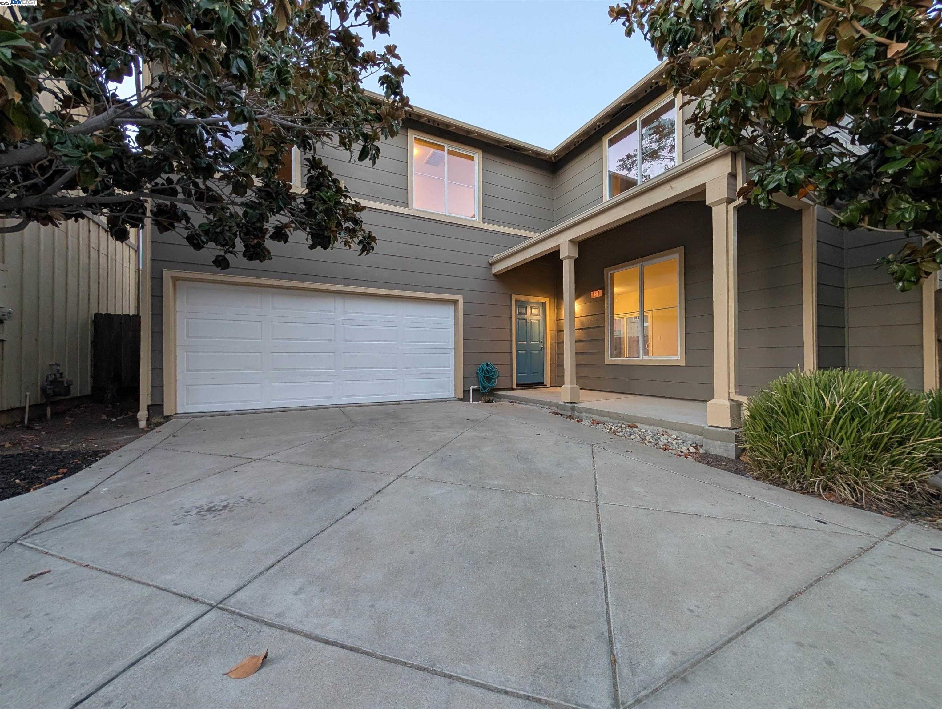
Bay Point, the unincorporated community grouped with Pittsburg, California and once known as West Pittsburg, runs along the Suisun Bay shoreline at the northwest corner of the area. Its best feature is genuinely the water: the Bay Point Regional Shoreline at the end of McAvoy Road has a loop trail and some of the better public fishing access around, and the Delta de Anza Regional Trail cuts through for miles of flat walking and biking. ... See Full Page
Seeno Ave, Pittsburg, CA
Keywords: San Marco, Hillside Living, Newer Construction
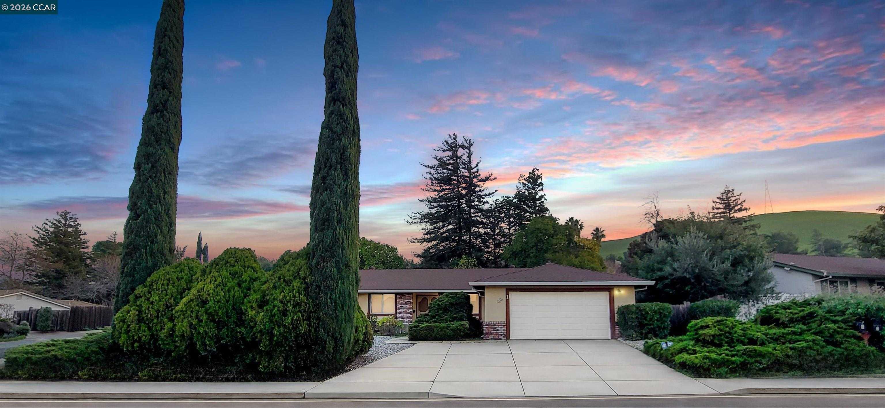
Seeno Avenue sits in the hills of southern Pittsburg, California, in the orbit of the San Marco master-planned community that Seeno and Discovery Homes built into the slopes off Kirker Pass Road. This is some of the newest construction in town, and it shows: larger homes, planned streets, and the Shoppes at San Marco close by for everyday shopping and dining. ... See Full Page
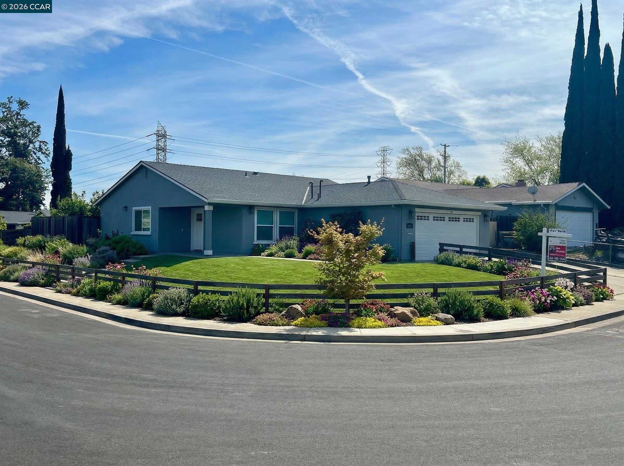
Parkside-Willow, Pittsburg, CA
Keywords: Riverside Edge, Rising Prices, North Pittsburg
The Parkside-Willow pocket sits in the northern part of Pittsburg, California, toward the river side of town between the Parkside and Willow Cove school areas. It is a residential stretch that has seen some of the stronger price movement in the city lately, a sign of buyers looking northward for relative value. ... See Full Page
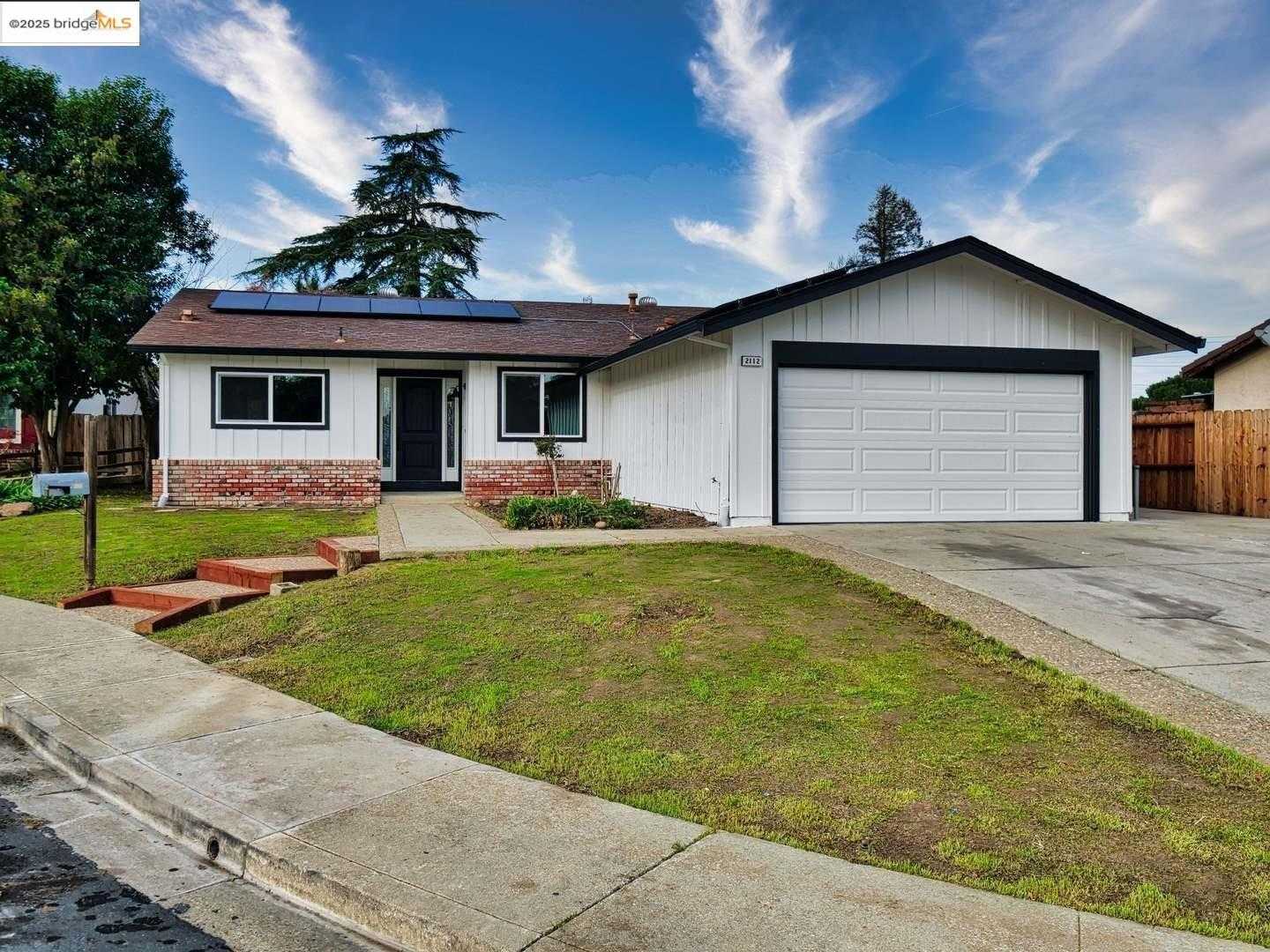
Leland-Golf, Pittsburg, CA
(2) City data used
Keywords: Golf Course, Delta View, Leland Road
Leland-Golf takes its name and its character from the Delta View Golf Course, the municipal course off Golf Club Road on the west side of Pittsburg, California. The fairways give this pocket something most Pittsburg neighborhoods lack: a big stretch of green for a backdrop, and the calmer, more open feel that comes with backing up to a golf course rather than a busy road. ... See Full Page
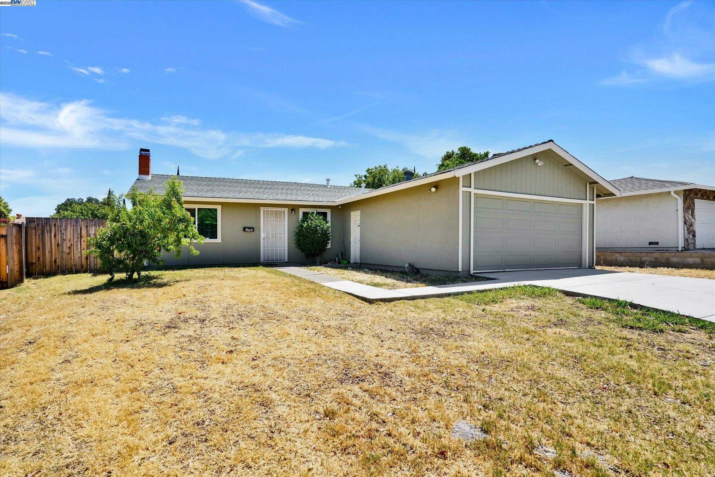
Leland-William, Pittsburg, CA
Keywords: Central Location, Leland Corridor, Everyday Value
The Leland-William pocket sits in the central part of Pittsburg, California, along the Leland Road corridor where it threads through the middle of town. The advantage here is being close to the middle of everything: shopping, services, and the main roads that tie Pittsburg together are all within a short drive, and this is one of the more reasonably priced central pockets on the map. ... See Full Page
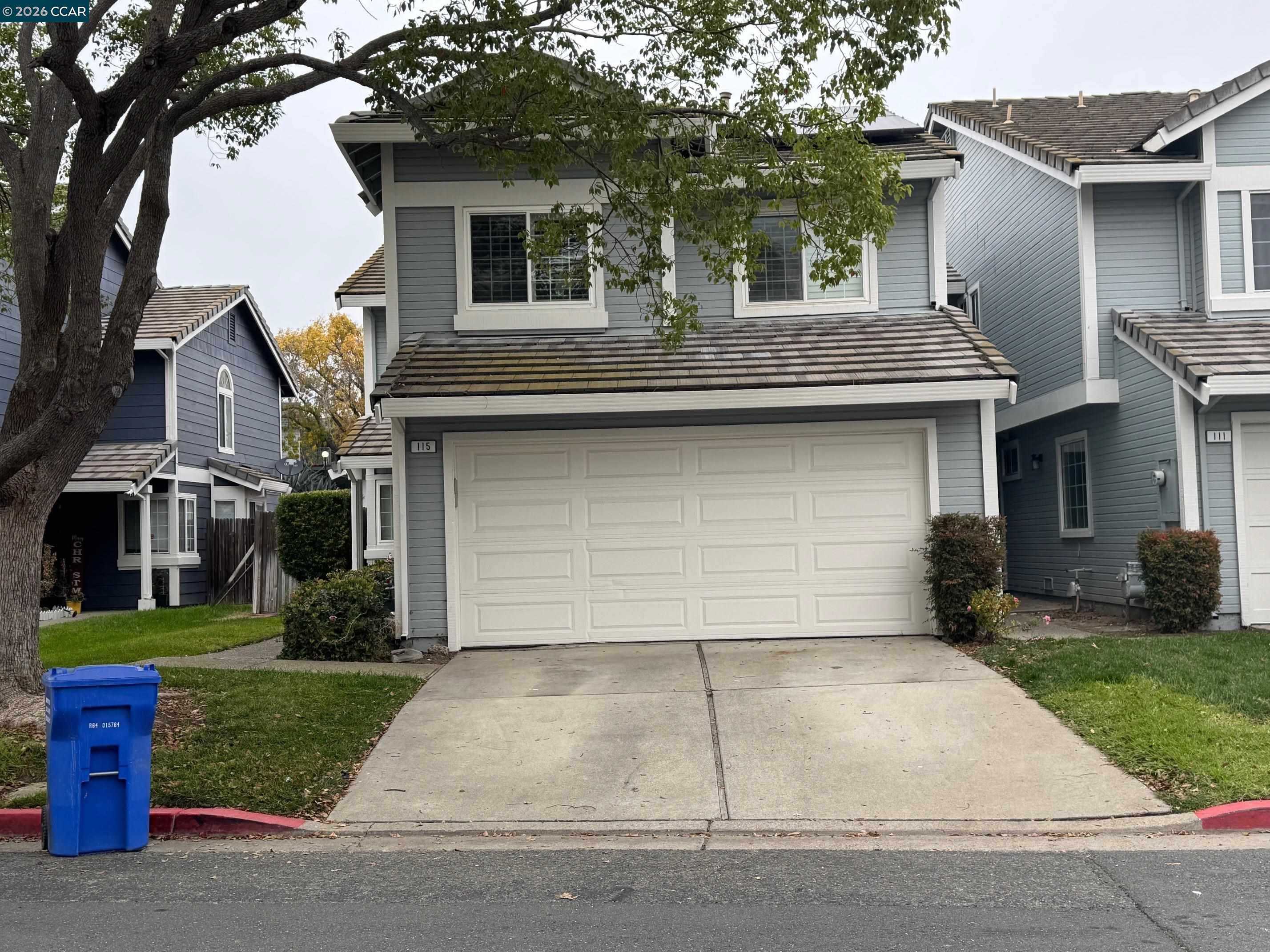
E 3rd St / Harbor St, Pittsburg, CA
(2) City data used
Keywords: Riverfront, Industrial Edge, Old Town
The E 3rd Street and Harbor Street pocket hugs the northeast waterfront of Pittsburg, California, where the older blocks meet the San Joaquin River just east of downtown. The location is the story: you are within reach of the Old Town waterfront and the marina in one direction, with the river and its big-sky views close at hand. ... See Full Page
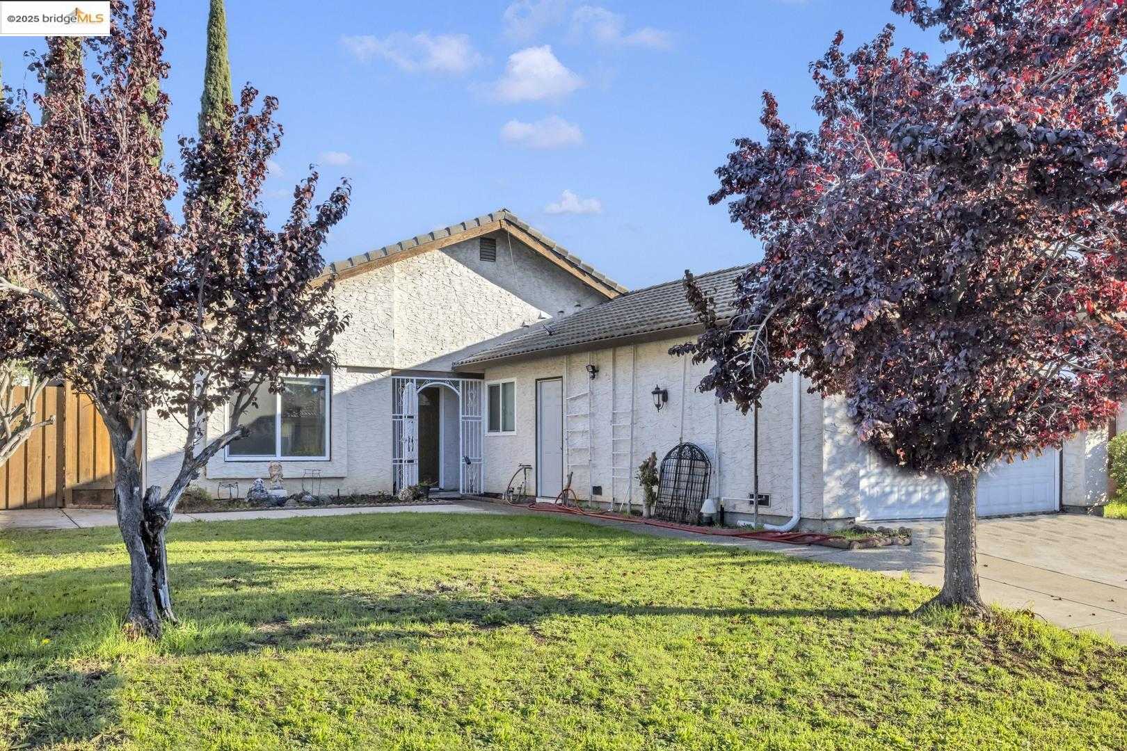
California Ave, Pittsburg, CA
(2) City data used
Keywords: College Adjacent, Highlands Area, Antioch Border
California Avenue anchors a pocket of southeast Pittsburg, California, up near the Highlands area and the Buchanan Road corridor, close enough to the Antioch line that the two cities blur together at the edges. Los Medanos College sits nearby off East Leland Road, which puts classes, a gym, and open playing fields within easy reach. ... See Full Page
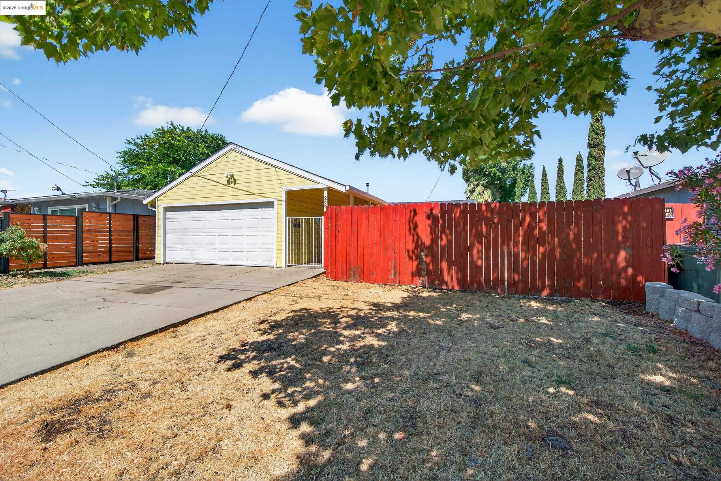
Parkside-Dr, Pittsburg, CA
Keywords: Value Pricing, Parkside Schools, Central Blocks
Parkside Drive runs through a central-north stretch of Pittsburg, California, named for the Parkside Elementary it is built around. It is a plain, established residential area, the kind of older neighborhood where the appeal is less about amenities and more about price: this is one of the better value pockets in town for buyers willing to put in some work. ... See Full Page
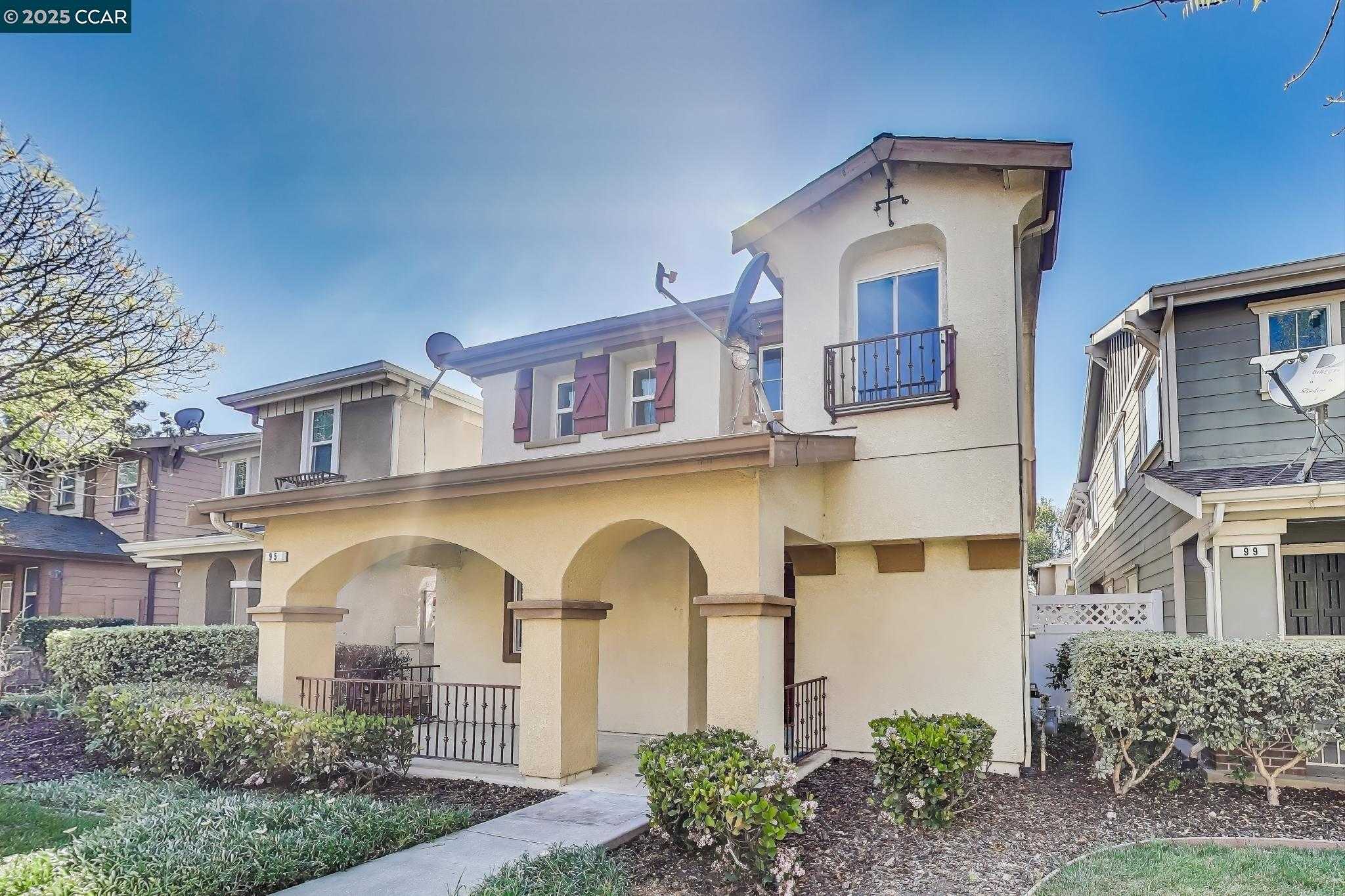
Harbor St, Pittsburg, CA
Keywords: Retail Access, Buchanan Park, Central Pittsburg
Harbor Street covers a practical stretch of central Pittsburg, California, inland from the waterfront near the Buchanan Road corridor. The pitch here is convenience: this is one of the better-served pockets in town for everyday errands, with shopping and services clustered along the nearby Railroad Avenue and Highway 4 retail, and Buchanan Park and its swim center a short hop away. ... See Full Page
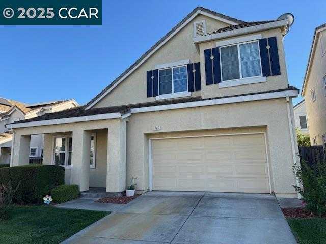
City Center, Pittsburg, CA
Keywords: Downtown Waterfront, Railroad Avenue, Marina Park
City Center is downtown Pittsburg, California, the oldest and most walkable part of town, where Railroad Avenue runs down to the marina and the San Joaquin River. This is where Pittsburg actually has a street life: Old Town restaurants, the waterfront, the 28-acre City Park, and the Pittsburg Center eBART station sitting right in the Highway 4 median at Railroad Avenue for an easy commute. ... See Full Page
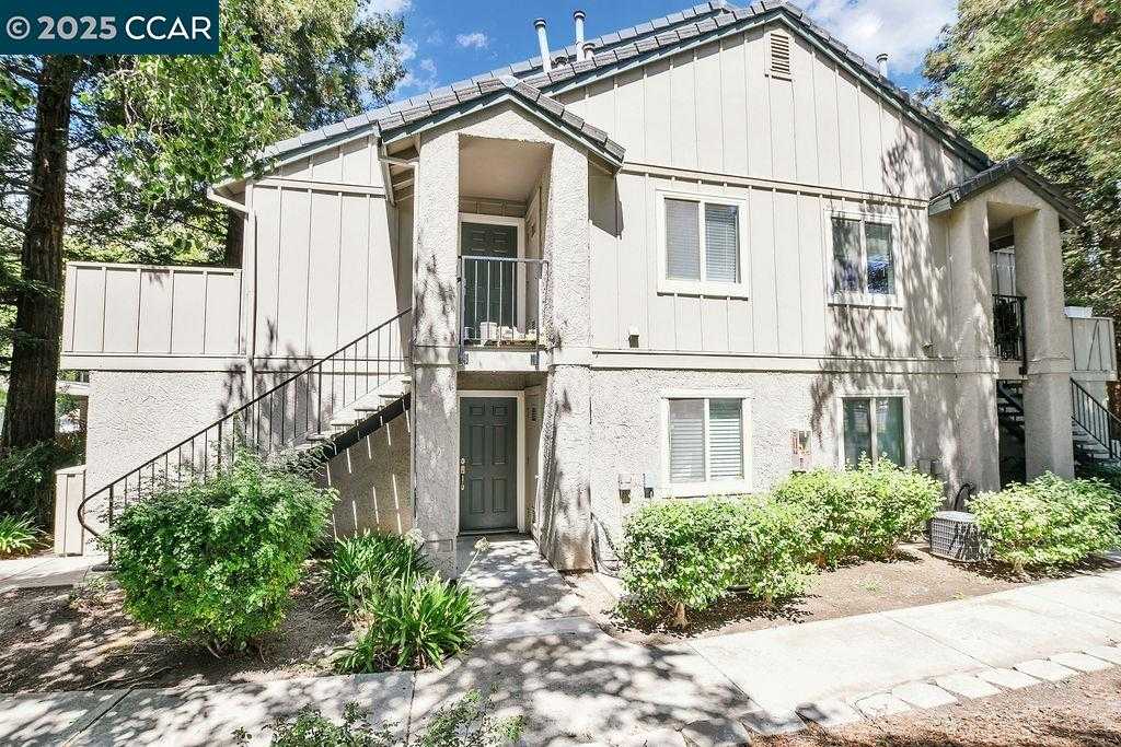
Leland-Rd, Pittsburg, CA
(2) City data used
Keywords: Los Medanos College, Leland Corridor, Commuter Access
Leland Road is one of the main east-west arteries of Pittsburg, California, and this stretch is defined by Los Medanos College, whose campus, athletic fields, and events sit right along the corridor off East Leland Road. Having a community college as your anchor means green space, a gym, and a steady hum of activity built into the neighborhood. ... See Full Page
Scores updated October 2026
Map of Pittsburg Neighborhoods
Loading map...
View Full Map
Pittsburg neighborhoods: your questions, answered
What are the best neighborhoods in Pittsburg?
Clyde has the highest overall score in Pittsburg, at 3.2 out of 5. The next highest overall scores in Pittsburg are Bailey-Oak (3.1 out of 5) and Bailey Rd (2.8 out of 5).
What are the best places to live in Pittsburg?
Houseberry's highest-scored Pittsburg neighborhoods are Clyde (3.2 out of 5), Bailey-Oak (3.1 out of 5) and Bailey Rd (2.8 out of 5), out of 17 ranked on safety, schools, amenities and value.
What do homes cost in Pittsburg's highest-ranked neighborhoods?
Across the top 4 Pittsburg neighborhoods by overall score, the typical home price is $626,463. Prices among those top 4 Pittsburg neighborhoods run from $451,545 in Bailey Rd to $762,915 in Bailey-Oak.
Which Pittsburg neighborhoods rank highly overall at a lower price?
Bailey Rd has the lowest typical home price, $451,545, among Pittsburg neighborhoods scoring 2.6 out of 5 or higher for overall score and priced below the Pittsburg typical home price of $555,255; Bailey Rd scores 2.8 out of 5 for overall score. Shore Acres / Nichols (2.7 out of 5, $498,160) also scores 2.6 out of 5 or higher for overall score below the Pittsburg typical home price.
How many neighborhoods does Houseberry rank in Pittsburg?
Houseberry ranks 17 neighborhoods in Pittsburg. 0 Pittsburg neighborhoods score 4 out of 5 or higher overall.
How do Pittsburg neighborhoods compare with nearby cities overall?
Pittsburg neighborhoods average 2.2 out of 5 overall. The nearest cities average Clayton 4.2, Concord 2.8, Antioch 2.3, Pleasant Hill 3.5 and Walnut Creek 3.6.
More Pittsburg rankings
- Best neighborhoods for schools in Pittsburg
- Safest neighborhoods in Pittsburg
- Best neighborhoods for amenities in Pittsburg
- Most affordable neighborhoods in Pittsburg
- Best-value neighborhoods in Pittsburg
- Fastest-appreciating neighborhoods in Pittsburg
Zoom out
Nearby overall rankings
Clayton · Concord · Antioch · Pleasant Hill · Walnut Creek