

Most Affordable Neighborhoods in Glendale, CA


The lowest typical home price among ranked Glendale neighborhoods is $678,000, in City Center, against a citywide typical home price of $1,261,000. Prices run up to $2,316,000 in Brockmont across 25 ranked neighborhoods.
Houseberry scores 25 Glendale neighborhoods on schools, safety, amenities, price, value and appreciation. Overall scores in Glendale run from 3.2 to 4.1 out of 5, and 4 score 4 out of 5 or higher. Typical home prices range from $678,000 in City Center to $2,316,000 in Brockmont across 25 priced neighborhoods.
Learn more about Glendale, CA.
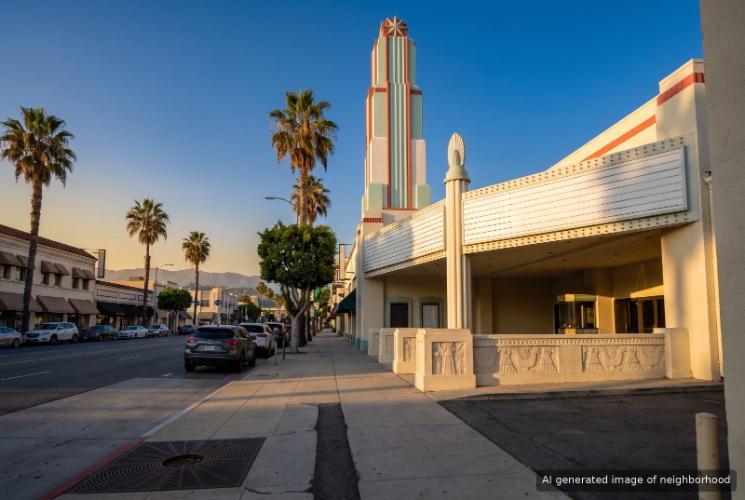
City Center, Glendale, CA



Keywords: Americana At Brand, Glendale Galleria, Artsakh Paseo
City Center is downtown Glendale, the stretch around Brand Boulevard that holds the Glendale Galleria, the Americana at Brand and a thick concentration of restaurants, offices and newer apartment towers. It is the most urban neighborhood in the city. ... See Full Page
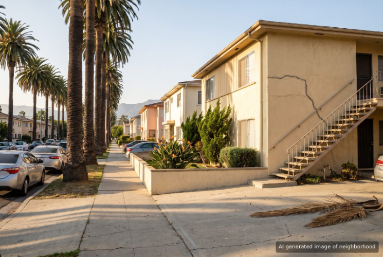
Citrus Grove, Glendale, CA
Keywords: Mario's Italian Deli, Highlight Coffee, Trader Joe's
Citrus Grove in Glendale sits just east of downtown along East Broadway and North Glendale Avenue, and it is a close-in neighborhood of older bungalows and apartments with some of the city's longest-running delis and bakeries. ... See Full Page
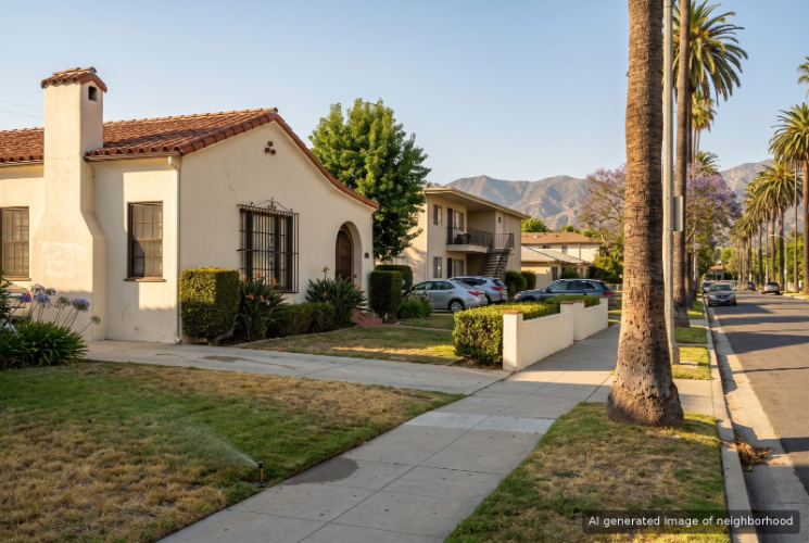
Somerset, Glendale, CA
Keywords: East Colorado Street, Scarantino's, Windsor Mini Park
Somerset in Glendale sits on the east side of the city where East Colorado Street meets South Verdugo Road, a working neighborhood of older homes and apartments with a supermarket and a long run of small restaurants on its doorstep. ... See Full Page
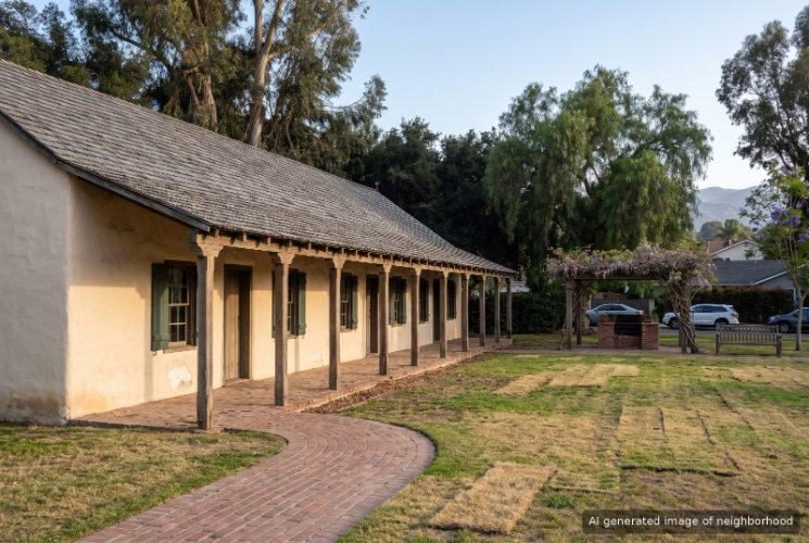
Verdugo Viejo, Glendale, CA
Keywords: Casa Adobe, Brockmont Park, Fremont Park
Verdugo Viejo in Glendale holds one of the oldest houses in the city, the Casa Adobe de San Rafael, an 1865 adobe built on land carved from the old Rancho San Rafael and now kept as a small historic park on Dorothy Drive. ... See Full Page
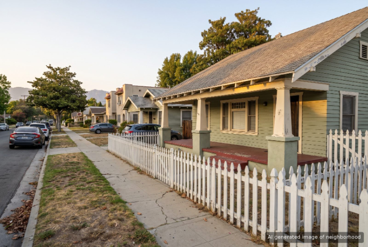
Mariposa, Glendale, CA
Keywords: Akkad, Maple Park, Elena's
Mariposa in Glendale sits just southeast of downtown, with East Colorado Street and South Glendale Avenue as its main streets and a food scene that ranges from Iraqi grill to Filipino baked goods. It sits between the Brand Boulevard crowds and the quieter hills of Adams Hill. ... See Full Page
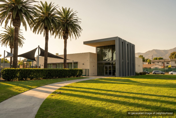
Pacific Edison, Glendale, CA
Keywords: Pacific Park, Foxy's Restaurant, Craftsman Bungalows
Pacific Edison in Glendale is a south-side neighborhood of Craftsman and Spanish style homes bounded by busy corridors like Colorado Street and Central Avenue, with Pacific Park and its library as the community's living room. ... See Full Page
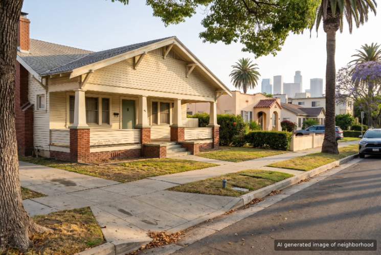
Vineyard, Glendale, CA
Keywords: Moonlight Rollerway, Max's Restaurant, Harvard Mini Park
Vineyard in Glendale sits just west of downtown, a walkable grid of early twentieth century houses and newer apartments between Central Avenue and the old industrial edge along San Fernando Road. Brand Boulevard and the Americana are an easy walk east. ... See Full Page
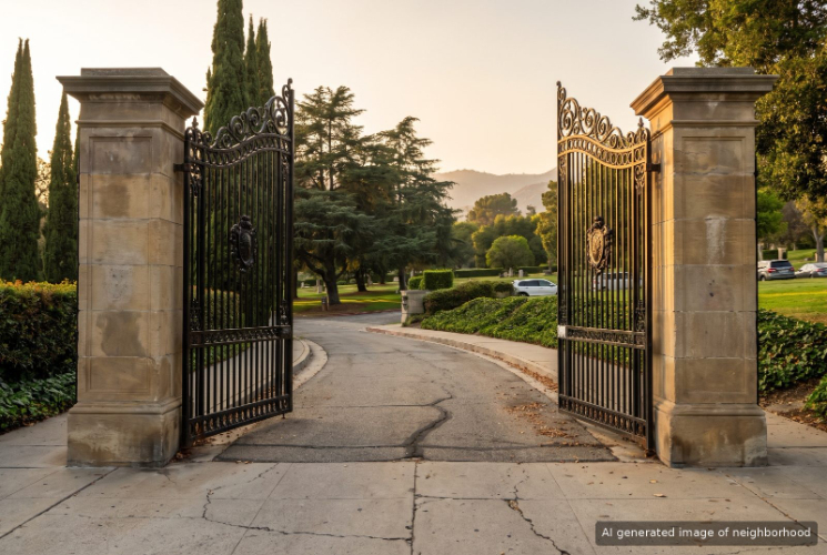
Tropico, Glendale, CA
Keywords: Tropico Station, Metrolink Glendale, Dinah's Chicken
Tropico in Glendale started as a Southern Pacific depot in 1887, grew strawberries for the Los Angeles market and was its own city briefly before joining its larger neighbor in 1918. The name still hangs on the local post office and the neighborhood around the old tracks in south Glendale. ... See Full Page
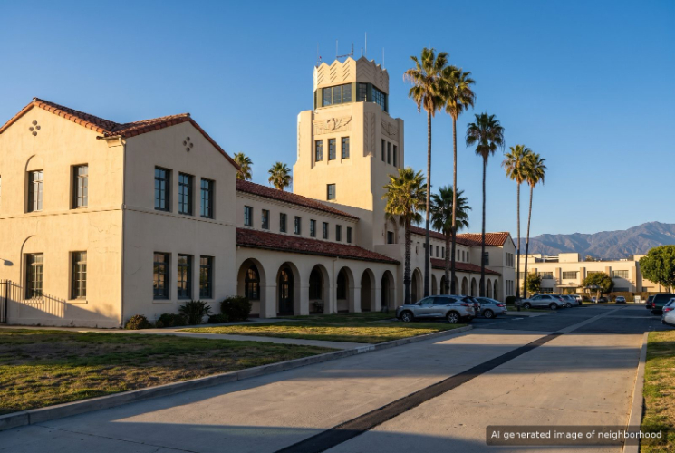
Grand Central, Glendale, CA
Keywords: Air Terminal, Walt Disney Imagineering, Flower Street
Grand Central in Glendale takes its name from the Grand Central Air Terminal, the 1929 airport where Amelia Earhart and Howard Hughes once flew, and the old runway is now Grand Central Avenue. ... See Full Page
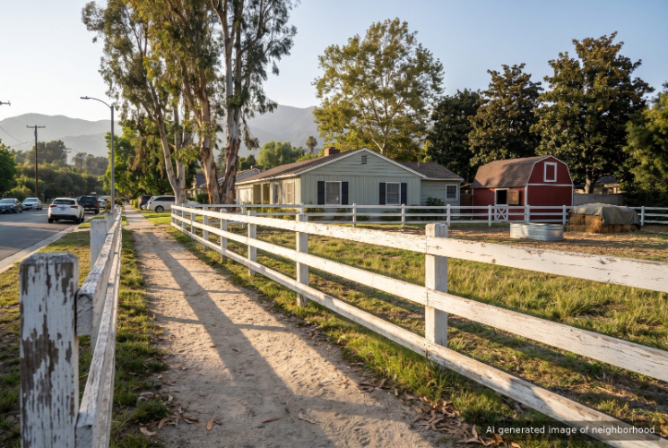
Riverside Rancho, Glendale, CA
Keywords: Equestrian Living, Victory Boulevard, Pleasant Street Stable
Riverside Rancho in Glendale is horse country tucked against the Los Angeles River, a pocket where stables and riding rings sit a few blocks from studio offices and freeway ramps. It shares that equestrian identity with Burbank's Rancho district next door and with the Los Angeles Equestrian Center just across the river. ... See Full Page
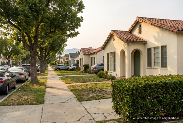
Grandview, Glendale, CA
Keywords: Monta Factory, Grandview Library, Adana
Grandview in Glendale runs across the city's northwest side between West Glenoaks Boulevard and San Fernando Road, and West Glenoaks here is lined with Armenian bakeries and grills that critics keep writing about. The name shows up on the Grandview Library and on the avenue that crosses the neighborhood. ... See Full Page
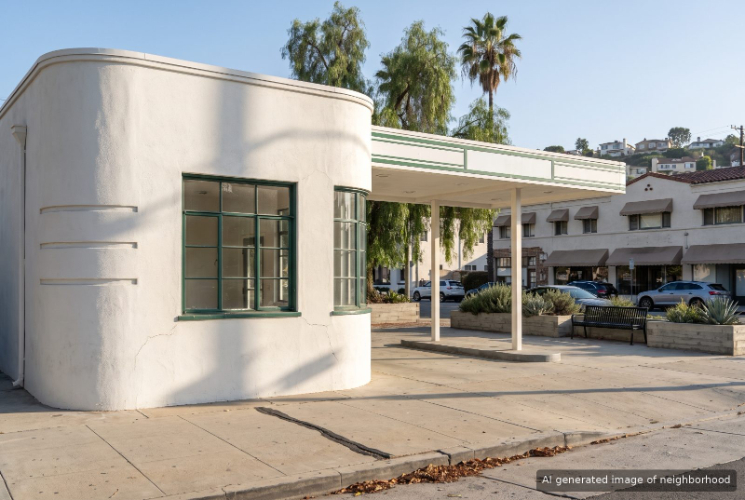
Adams Hill, Glendale, CA
Keywords: Adams Square, Forest Lawn, Hillside Views
Adams Hill in Glendale is the hilly southeast corner of the city, where streets climb toward views of the Verdugo and San Gabriel Mountains and, on clear days, the downtown Los Angeles skyline. Forest Lawn's grounds sit along the southern edge, which keeps that side green and quiet. ... See Full Page
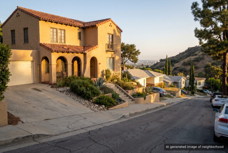
Woodbury, Glendale, CA
Keywords: Fish King, North Glendale Avenue, Harvey Drive
Woodbury is the hilly, close-in part of northeast Glendale between the 2 and 134 freeways, south of Glendale Community College and a few minutes from downtown. It has a more everyday feel than the canyon neighborhoods farther up, with a hospital campus, a real grocery corridor and older houses packed onto the slopes. ... See Full Page
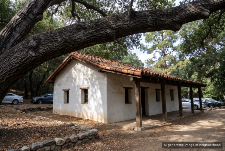
Verdugo Woodlands, Glendale, CA
Keywords: Deukmejian Wilderness Park, Coast Live Oaks, Niodrara Drive
Verdugo Woodlands takes its name from its trees. Coast live oaks, sycamores and jacarandas shade this part of north Glendale, and that canopy is what separates it from the more open grid of Montrose to the west. ... See Full Page
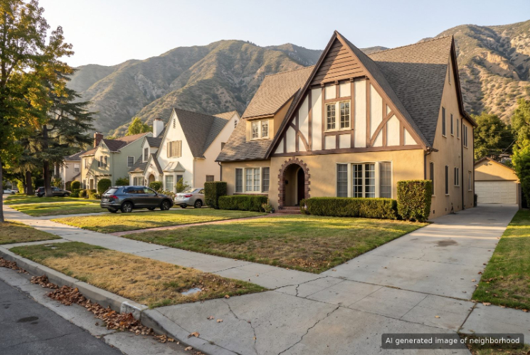
Glenwood, Glendale, CA
Keywords: Pelanconi Park, West Glenoaks Bakeries, Armen Market
Glenwood in Glendale is a compact grid of older homes on the city's north side, where West Glenoaks Boulevard doubles as a strip of Armenian bakeries, delis and grills that locals lean on every day. Views of the Verdugo Mountains open up at the end of many streets. ... See Full Page
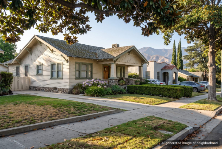
Sparr Heights, Glendale, CA
Keywords: Montrose Shopping Park, Sparr Community Center, Ocean View Boulevard
Sparr Heights holds most of the Montrose shopping district, so from nearly every block in this corner of Glendale the walk to dinner on Honolulu Avenue is short. The Sparr Heights Community Center still serves weekday senior lunches, runs classes and keeps a game room with pool tables. ... See Full Page
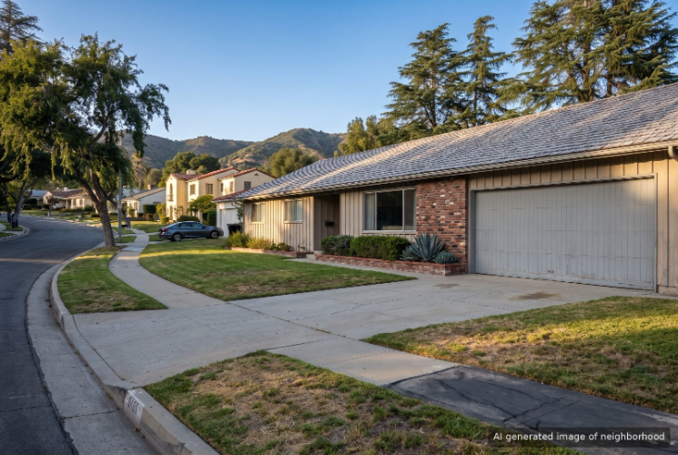
Montecito Park, Glendale, CA
Keywords: Montrose Community Park, Black Cow Cafe, Verdugo Ridgeline
Montecito Park rises between the Verdugo Mountains and the San Rafael Hills in north Glendale, and the east end of Honolulu Avenue works as its main street. What separates it from flatter Sparr Heights next door is the terrain. Streets wind up the slope, and the higher blocks look straight across at the Verdugo ridgeline. ... See Full Page
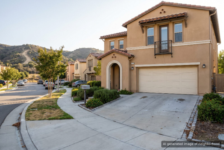
Rancho San Rafael, Glendale, CA
Keywords: 1990s Planned Community, Ridge Motorway, San Rafael Hills
Rancho San Rafael is Glendale's modern hillside subdivision, a planned community built in the 1990s in the foothills just east of the 2 Freeway. It borrows the name of the old Rancho San Rafael land grant, whose 1860s adobe still stands across town, but its houses are among the newest in the area. ... See Full Page
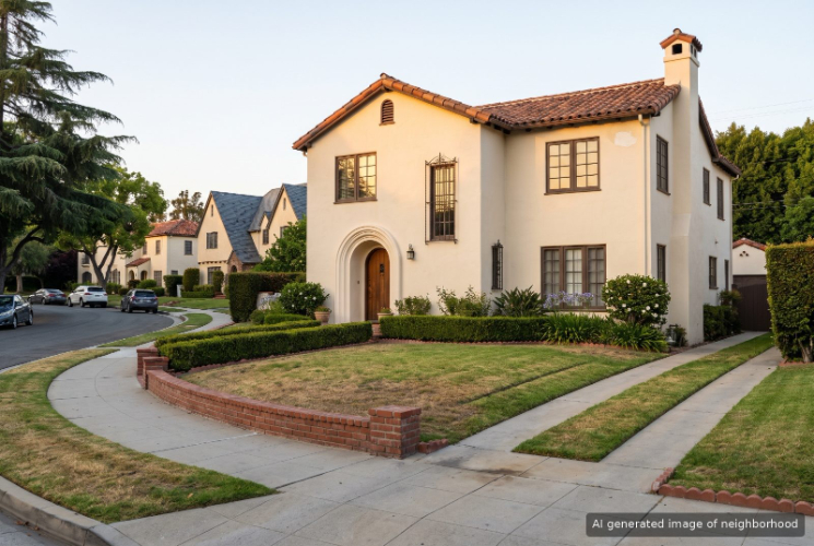
Rossmoyne, Glendale, CA
Keywords: Rossmoyne Historic District, Nibley Park, Period Revival Homes
Rossmoyne holds Glendale's largest historic district, roughly 500 period revival houses laid out on gently curving streets above Glenoaks Boulevard. The Haddock-Nibley Company began building here in 1923 and most of it was finished by 1950, so a walk through the neighborhood reads like a tour of one era of Southern California design. ... See Full Page
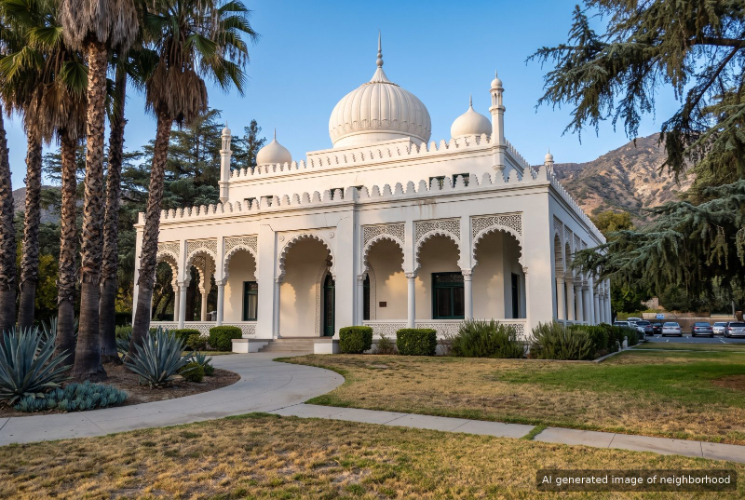
El Miradero, Glendale, CA
Keywords: Brand Library, Kenneth Village, Doctors House
El Miradero in Glendale is named for the 1904 mansion that now serves as the Brand Library, a white building of domes and pointed arches that looks more like something from a desert palace than a public library. The neighborhood sits on the slope below it, where the city meets the Verdugo Mountains. ... See Full Page
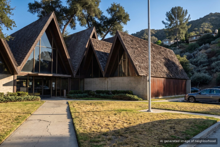
Chevy Chase, Glendale, CA
Keywords: Chevy Chase Canyon, Country Club, Scholl Canyon
Chevy Chase is Glendale's canyon neighborhood, a long wooded cut through the hills on the city's eastern edge where Chevy Chase Drive winds up toward the ridge shared with La Cañada Flintridge and Pasadena. Oaks and sycamores close in over the road, and deer and red-tailed hawks are regular company. ... See Full Page
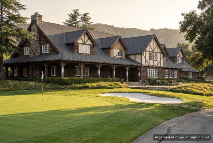
Oakmont, Glendale, CA
Keywords: Oakmont Country Club, Beaudry Loop, Glendale Sports Complex
Oakmont wraps around the Oakmont Country Club golf course in north Glendale, and those fairways, backed by the Verdugo Mountains, set the tone for the whole neighborhood. Streets climb and curve, lots run big, and houses sit higher and farther apart than in the flats around Glendale Community College to the south. ... See Full Page
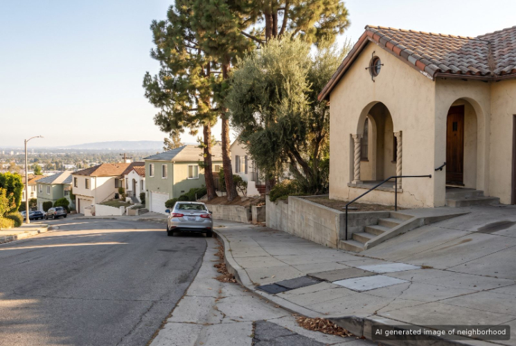
College Hills, Glendale, CA
Keywords: Glendale Community College, Midcentury Hillside Homes, Canada Boulevard
College Hills climbs the slope above Glendale Community College, and the campus on Verdugo Road sets the rhythm of the neighborhood. It sits between the flats of central Glendale and the bigger lots of Oakmont up the canyon. ... See Full Page
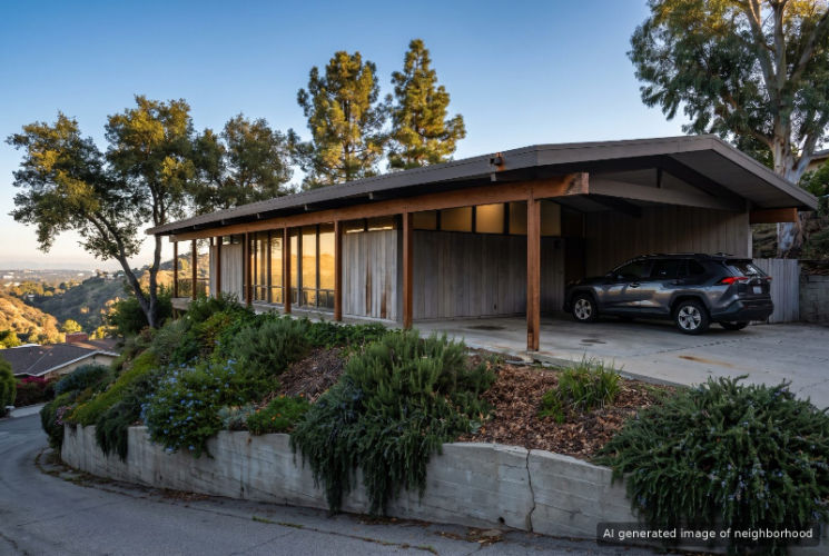
Greenbriar, Glendale, CA
Keywords: Verdugo Foothills, 1980s Tudor Revivals, North Verdugo Road
Greenbriar is a quiet foothill section of Glendale beside Glendale Community College, where the streets leave North Verdugo Road and wind up into the Verdugo foothills. It is newer than most of its neighbors. Where Rossmoyne below is largely 1920s period revival, most of the homes in Greenbriar went up in the 1960s or later. ... See Full Page
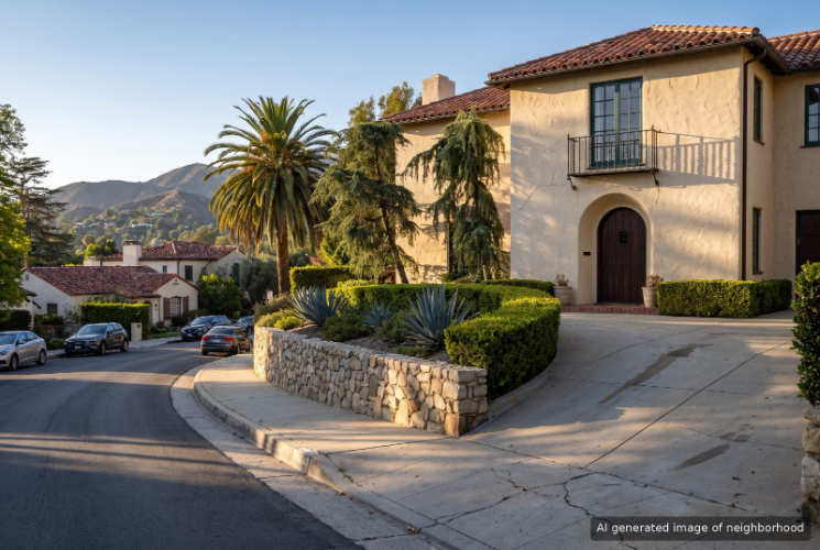
Brockmont, Glendale, CA
Keywords: Brockmont Clock Tower, Brockmont Park, Arbor Drive
Brockmont is a small hillside pocket of northwest Glendale built on the grounds of John C. Brockman's early 1900s estate, and the estate's clock tower still stands on Arbor Drive. ... See Full Page
Scores updated October 2026
Most Affordable Neighborhoods
Loading map...
View Full Map
Glendale home prices: your questions, answered
Which Glendale neighborhoods are most affordable?
City Center has the lowest typical home price in Glendale, at $678,000. The next lowest typical home prices in Glendale are Citrus Grove ($744,000) and Somerset ($766,000).
What is the typical home price in Glendale?
The typical home price across 25 ranked Glendale neighborhoods is $1,261,000.
Which Glendale neighborhoods are the most expensive?
Brockmont has the highest typical home price in Glendale, at $2,316,000. The next highest typical home prices in Glendale are Greenbriar ($2,156,000) and College Hills ($1,877,000).
How much do typical home prices vary across Glendale neighborhoods?
Typical home prices across Glendale neighborhoods run from $678,000 in City Center to $2,316,000 in Brockmont, a spread of $1,638,000.
More Glendale rankings
- Best neighborhoods in Glendale
- Best neighborhoods for schools in Glendale
- Safest neighborhoods in Glendale
- Best neighborhoods for amenities in Glendale
- Best-value neighborhoods in Glendale
- Fastest-appreciating neighborhoods in Glendale