

Best-Value Neighborhoods in Long Beach, CA


None of the 42 ranked Long Beach neighborhoods with a value figure is priced below its expected value.
Houseberry scores 42 Long Beach neighborhoods on schools, safety, amenities, price, value and appreciation. Overall scores in Long Beach run from 2.2 to 4.2 out of 5, and 4 score 4 out of 5 or higher. Typical home prices range from $443,000 in East Village to $2,444,000 in Peninsula across 42 priced neighborhoods.
Learn more about Long Beach, CA.
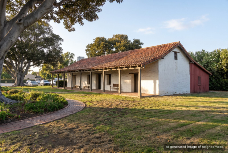
Bixby Hill, Long Beach, CA


Keywords: Guard Gated, Rancho Los Alamitos, Custom Homes
Bixby Hill in Long Beach is a guard-gated rise of curving streets built around Rancho Los Alamitos, the old Bixby family ranch that the city now runs as a free museum. ... See Full Page
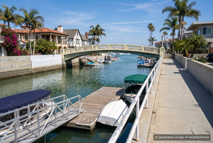
Naples, Long Beach, CA
Keywords: Canal Islands, Rivo Alto, Gondola Town
Naples is the canal district of Long Beach, three small islands in Alamitos Bay laid out after 1905 by developer Arthur Parsons with Venice as the model. Streets carry Italian names like Rivo Alto Canal and Via Di Roma, and on most blocks the water is either at the end of the street or under the back deck. ... See Full Page
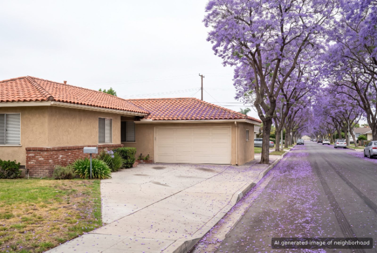
Palo Verde, Long Beach, CA
Keywords: Eastside Ranch, Palo Verde, Park Reach
Palo Verde sits in the east end of Long Beach beside El Dorado Park, a small, flat grid of single-story homes where the city's biggest regional park is the natural backyard. It borders Los Altos to the west and the El Dorado South blocks to the east, and it feels calmer than the busier retail corridors around it. ... See Full Page
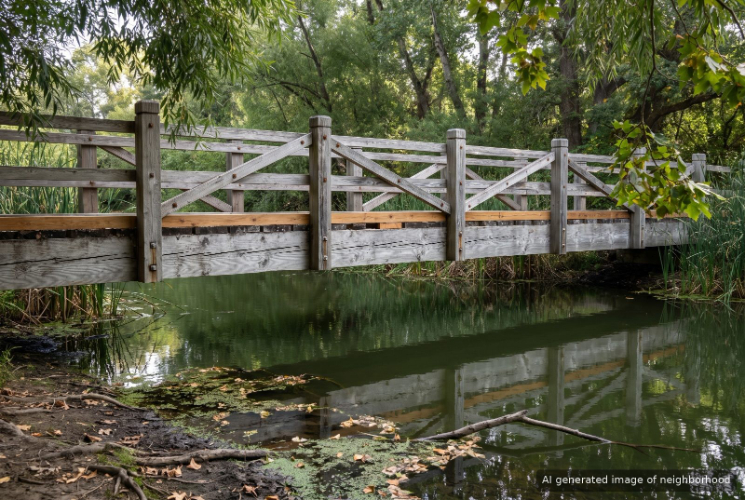
El Dorado Park, Long Beach, CA

Keywords: Regional Park, Nature Center, Open Space
El Dorado Park is where east Long Beach goes outside, a stretch of regional parkland of more than 600 acres that the San Gabriel River and the 605 cut in two, with residential streets tucked along its edges. For most of the city the name means the park, and living next to it shapes the whole routine. ... See Full Page
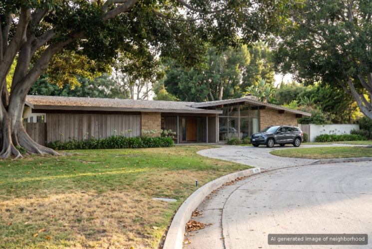
Park Estates, Long Beach, CA
Keywords: Mid-Century Modern, Wide Lots, University Adjacent
Park Estates is the mid-century modern showcase of Long Beach, a neighborhood of large homes on wide lots that developer Lloyd Whaley began laying out in 1948 between Cal State Long Beach and Recreation Park. Williams and Lloyd Wright all designed houses here, and Neutra's Hafley House is recognized by the Los Angeles Conservancy. ... See Full Page
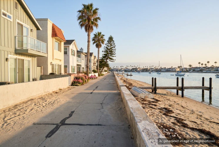
Peninsula, Long Beach, CA
Keywords: Beachfront Homes, Bay and Ocean, Boardwalk Living
The Peninsula is the thin sandspit at the southeast tip of Long Beach, between the open Pacific and the sheltered water of Alamitos Bay. Ocean Boulevard runs down its spine, and numbered places branch off toward each shore, so almost no home is more than a short walk from sand. ... See Full Page
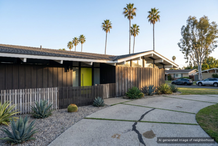
Rancho Estates, Long Beach, CA
Keywords: Cliff May Ranchos, Mid-Century Modern, Design Conscious
Rancho Estates is the Long Beach tract built around Cliff May's ranch house, some 700 low-slung homes on the city's far east edge that he designed with Chris Choate for developer Ross Cortese in 1953 and 1954. ... See Full Page
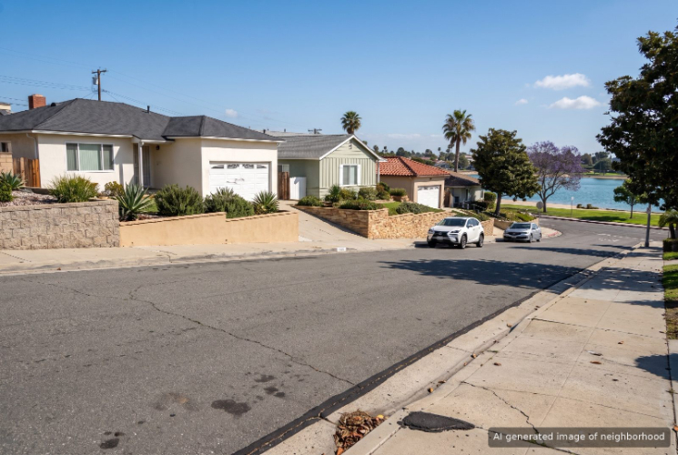
Alamitos Heights, Long Beach, CA
Keywords: Leafy Streets, Colorado Lagoon, Bay Proximity
Alamitos Heights is the east Long Beach neighborhood that runs from Pacific Coast Highway down to Colorado Lagoon, between Park Avenue and Bellflower Boulevard. It takes its name from Alamitos Bay rather than Alamitos Beach, and the lagoon on its western edge is what locals point to first. ... See Full Page
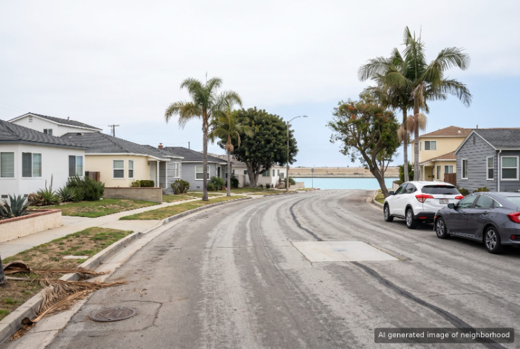
Belmont Park, Long Beach, CA
Keywords: Quiet Streets, Marine Stadium, Park Adjacent
Belmont Park is a small residential pocket of Long Beach wedged between Belmont Heights, Belmont Shore and the long rowing course of Marine Stadium. Its streets follow the angled grid of Belmont Shore but bend into curves near the water, which gives the neighborhood a quieter, tucked-away feel than the blocks around it. ... See Full Page
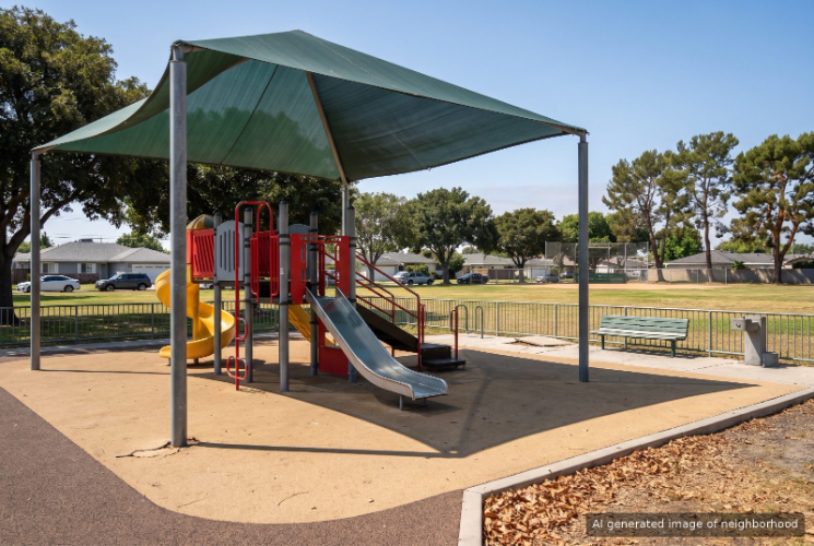
South of Conant, Long Beach, CA
Keywords: Eastside Tract, Airport Adjacent, Postwar Homes
South of Conant takes its name from its northern edge, a compact grid of postwar homes on the east side of Long Beach between Conant Street and Spring Street, with Clark Avenue on the west and Woodruff Avenue on the east. ... See Full Page
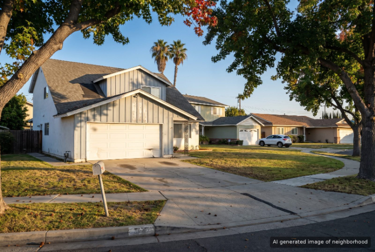
Imperial Estates, Long Beach, CA
Keywords: Far North, Affordable Tract, Freeway Adjacent
Imperial Estates is a small pocket of early-1960s homes on the far east edge of Long Beach, California, out past the 605 near the Orange County line, where the city's grid runs out against its neighbors. It has its own little shopping corner at Wardlow Road and Norwalk Boulevard, which is more than many tracts this size get. ... See Full Page
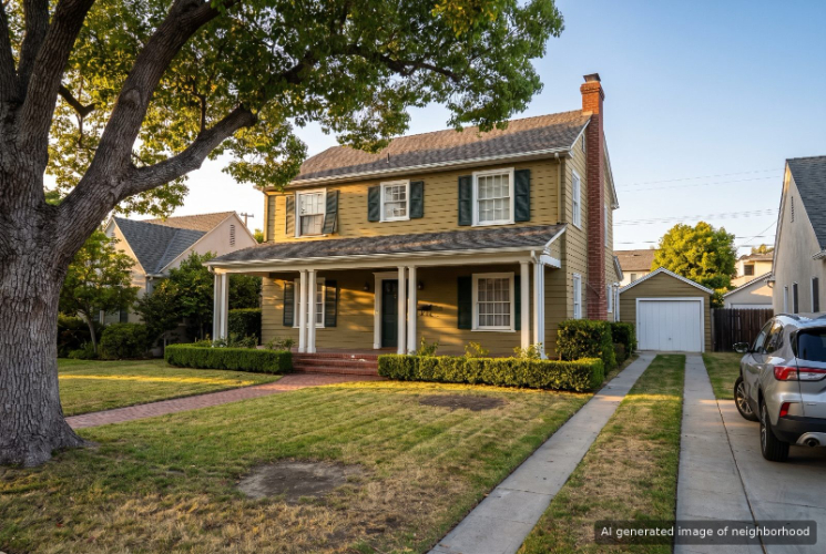
Lakewood Village, Long Beach, CA
Keywords: Leafy Suburb, Mid-Century Lots, Lakewood Border
Lakewood Village is the Long Beach neighborhood people call the Village, a pocket of varied pre- and postwar homes that the city of Lakewood wraps around on three sides. Carson Street marks its southern edge and big boulevards frame the other sides, but the look inside is its own. ... See Full Page
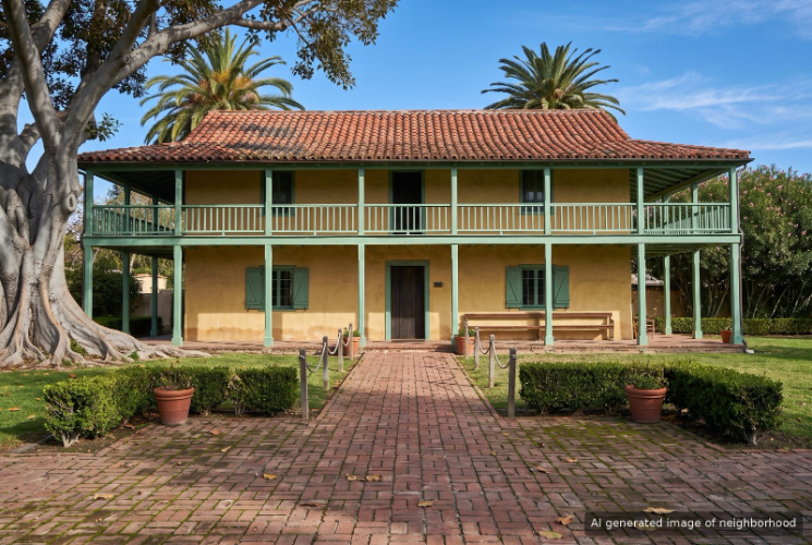
Los Cerritos, Long Beach, CA
Keywords: Virginia Country Club, Estate Homes, Rancho Los Cerritos
Los Cerritos grew up around two old neighbors on the north side of Long Beach, the fairways of Virginia Country Club and the adobe ranch house at Rancho Los Cerritos. ... See Full Page
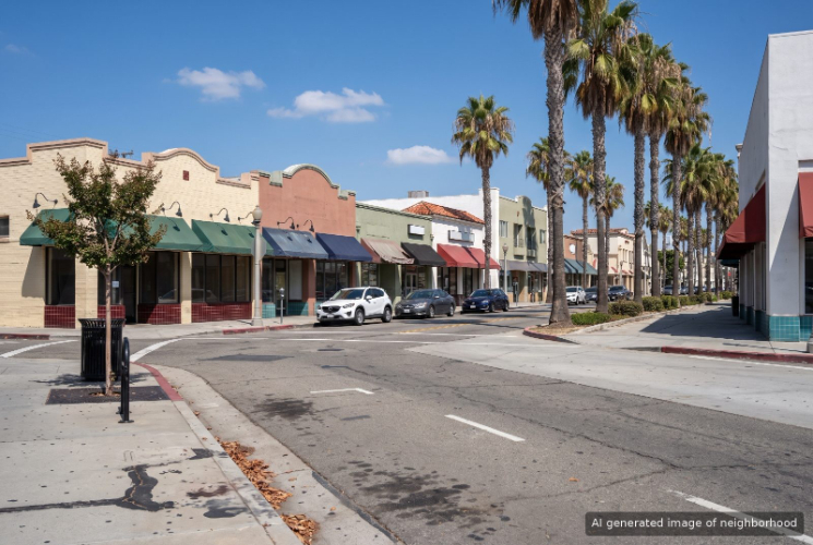
Belmont Shore, Long Beach, CA
Keywords: Second Street, Beach Walkable, Bay Access
Belmont Shore is the beach neighborhood of Long Beach that runs along Second Street, with the sand a couple of blocks south and Alamitos Bay at its east end. Second Street is the draw, a long run of restaurants, coffee bars and shops that stays busy from breakfast to last call. ... See Full Page
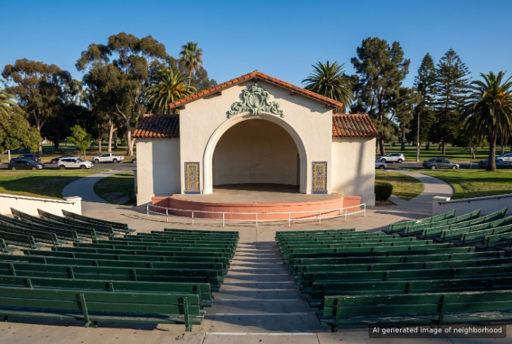
Recreation Park, Long Beach, CA
Keywords: Recreation Park, Blair Field, Golf and Tennis
Recreation Park in Long Beach is a neighborhood wrapped around a 210-acre city park of the same name that holds two golf courses, a tennis center and a historic ballpark. Few neighborhoods in the city have that much green space at the end of the street, and the park sets the pace of daily life here. ... See Full Page
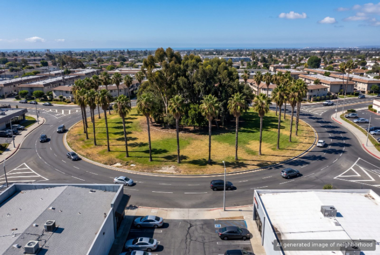
Traffic Circle, Long Beach, CA
Keywords: Traffic Circle, Park Bracketed, Eastside Hub
Traffic Circle, in east Long Beach, is named for the roundabout that joins Lakewood Boulevard, Los Coyotes Diagonal and Pacific Coast Highway. It still moves tens of thousands of cars a day. ... See Full Page
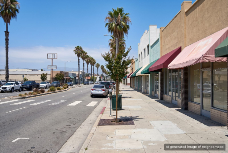
Bixby Knolls, Long Beach, CA
Keywords: Atlantic Avenue, Period Architecture, First Fridays
Bixby Knolls centers on Atlantic Avenue, the north side main street of Long Beach where First Fridays brings thousands of people out each month to wander between restaurants, shops, street booths and live music. The strip has collected so many brewpubs that locals call it Brewery Knolls. ... See Full Page
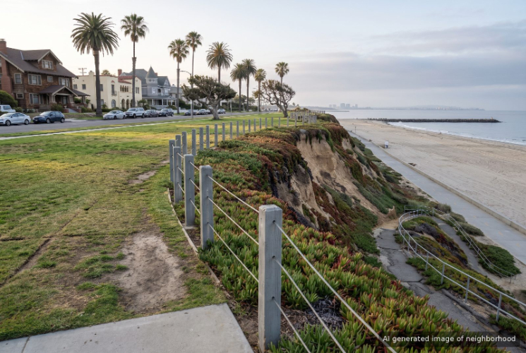
Bluff Park, Long Beach, CA
Keywords: Ocean Bluffs, Historic Mansions, Museum District
Bluff Park is the stretch of Long Beach where the city's grand old houses line Ocean Boulevard on top of the coastal bluff, with a long ribbon of park between the front doors and the drop to the sand. ... See Full Page
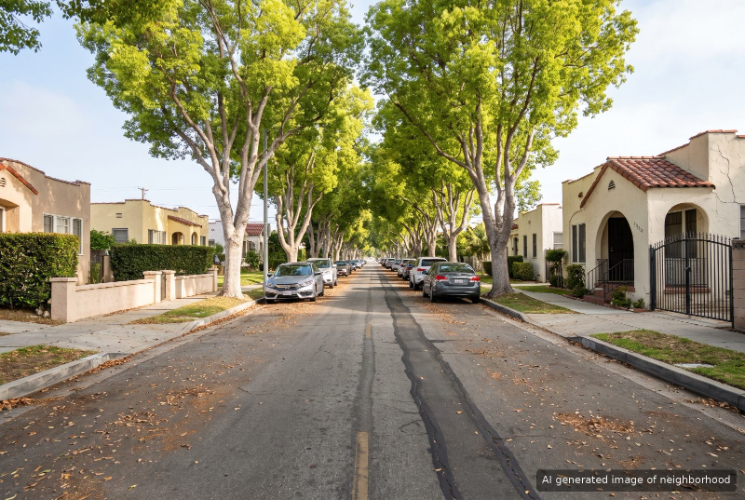
California Heights, Long Beach, CA
Keywords: Spanish Revival, Historic District, Mills Act
California Heights is the city's largest historic district, and the one people picture when they think of old Long Beach, about 1,500 homes laid out in the 1920s after oil came in on nearby Signal Hill. ... See Full Page
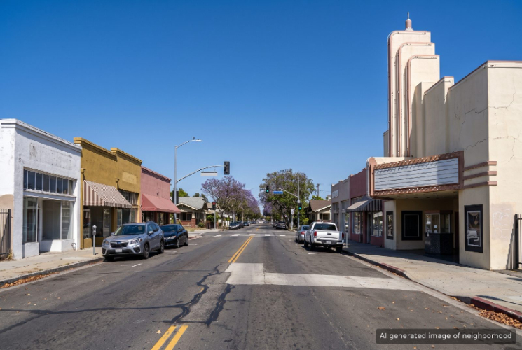
Bluff Heights, Long Beach, CA
Keywords: Craftsman Bungalows, Retro Row, Bluff Adjacent
Bluff Heights sits at the eastern end of Retro Row in Long Beach, where the vintage shops and cafes of 4th Street thin out into blocks of century-old bungalows. ... See Full Page
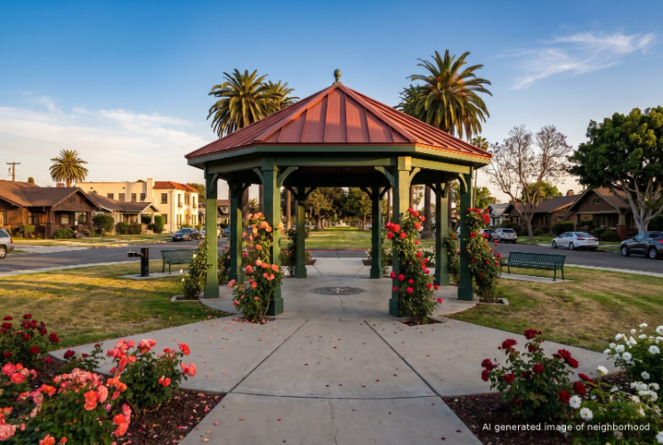
Rose Park, Long Beach, CA
Keywords: Rose Park, Craftsman Bungalows, Historic District
Rose Park takes its name from a tiny circular green at 8th Street and Orizaba Avenue, one of the oldest parks in Long Beach, and the blocks around it hold one of the city's densest runs of early 1900s bungalows. ... See Full Page
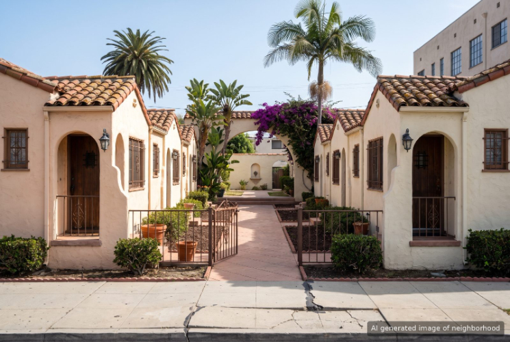
Alamitos Beach, Long Beach, CA
Keywords: Vintage Apartments, Beach Path, Urban Coastal
Alamitos Beach is the walkable, apartment-dense part of Long Beach that sits between the downtown towers and Bluff Park, where 1920s buildings run from Ocean Boulevard up to 4th Street and the sand is never more than a few blocks away. It feels busier than Bluff Park next door and more residential than the downtown blocks to the west. ... See Full Page
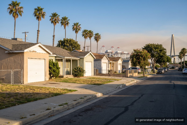
Westside, Long Beach, CA
Keywords: Santa Fe Avenue, Working Westside, Port Economy
Westside is the old working side of Long Beach, across the Los Angeles River and the 710 from the rest of the city, where blocks of small houses and apartments share the grid with the industrial yards that serve the port. Santa Fe Avenue is its main street and the easiest way to understand the place. ... See Full Page
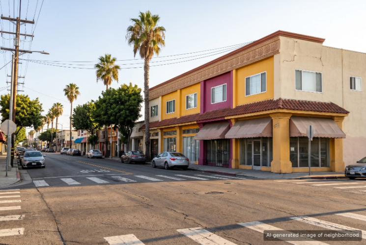
Cambodia Town, Long Beach, CA
Keywords: Cambodia Town, Anaheim Corridor, Cultural Hub
Cambodia Town is the stretch of central Long Beach where Anaheim Street turns into the main street of the largest Cambodian community outside Asia. ... See Full Page
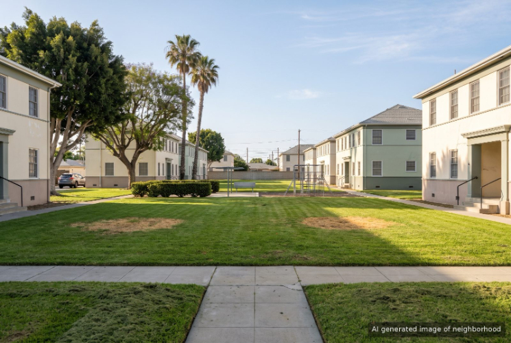
Carmelitos, Long Beach, CA
Keywords: Public Housing, Garden Apartments, Senior Services
Carmelitos is a large county-owned public housing complex in North Long Beach, and it has been there since before World War II. Rows of low-rise garden apartments spread across landscaped courts and walkways just west of Atlantic Avenue, with a community center on Via Carmelitos. ... See Full Page
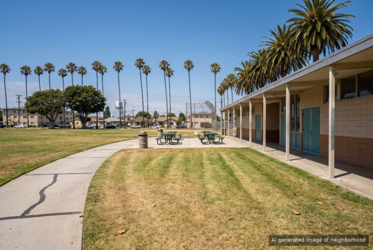
Central Long Beach, Long Beach, CA
Keywords: Urban Core, Dense Bungalows, Central Hub
Central Long Beach is the broad, flat grid between downtown and the Pacific Coast Highway corridor, and it holds much of the everyday city: taquerias and Cambodian noodle shops, corner markets, small parks, and block after block of older homes. ... See Full Page
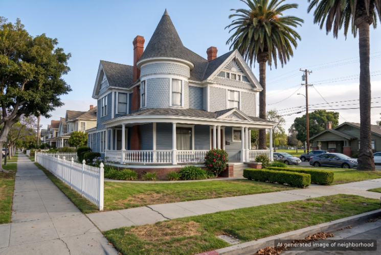
Willmore, Long Beach, CA
Keywords: Willmore City, Victorian Homes, Drake Park
Willmore is the oldest residential corner of Long Beach, a grid of Victorian and early 1900s houses just northwest of downtown, named for William Willmore, who laid out the original townsite. The streets around Drake Park hold the city's largest cluster of houses from that first building era, which gives the neighborhood a look unlike the newer apartment blocks around it. ... See Full Page
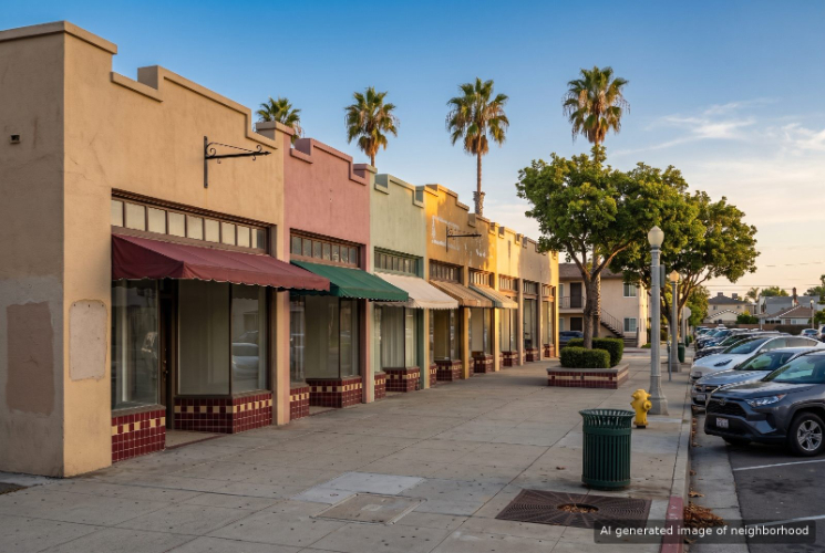
Zaferia, Long Beach, CA
Keywords: Anaheim Street, Streetcar History, Eastside Corridor
Zaferia is the old streetcar district of Long Beach, centered on East Anaheim Street between Temple and Loma avenues, where a Pacific Electric station opened in 1904 and a small farm village grew up around it. The city annexed it in 1920, and the name, the storefronts and the Zaferia Business Association still carry that early identity. ... See Full Page
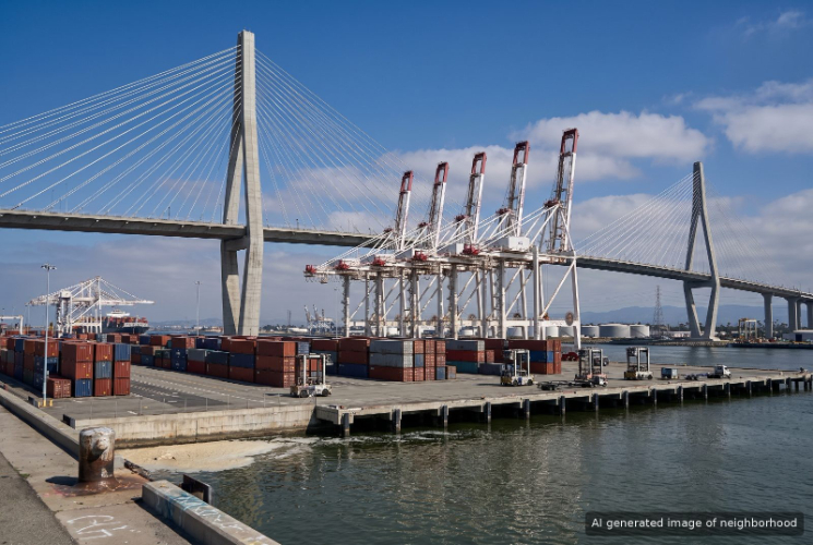
Port of Long Beach, Long Beach, CA
Keywords: Container Port, Harbor Industry, Goods Movement
On the city's harbor side, the Port of Long Beach is a working harbor, not a residential neighborhood, a spread of container terminals, channels, rail yards and bridges along the southwest waterfront. ... See Full Page
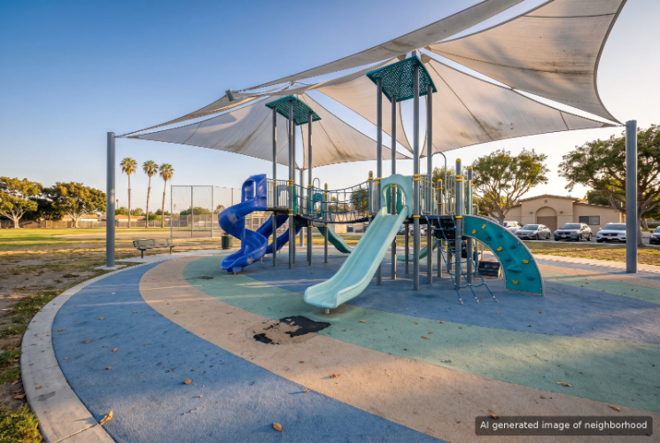
Ramona Park, Long Beach, CA
Keywords: Ramona Park, Obispo Avenue, Quiet Northside
Ramona Park is a quiet grid of postwar houses in North Long Beach, named for the 7-acre city park on 65th Street that anchors it. The park packs in a baseball diamond, a soccer field, tennis and basketball courts, a futsal court, a roller hockey rink and a community center that opened in 1995. ... See Full Page
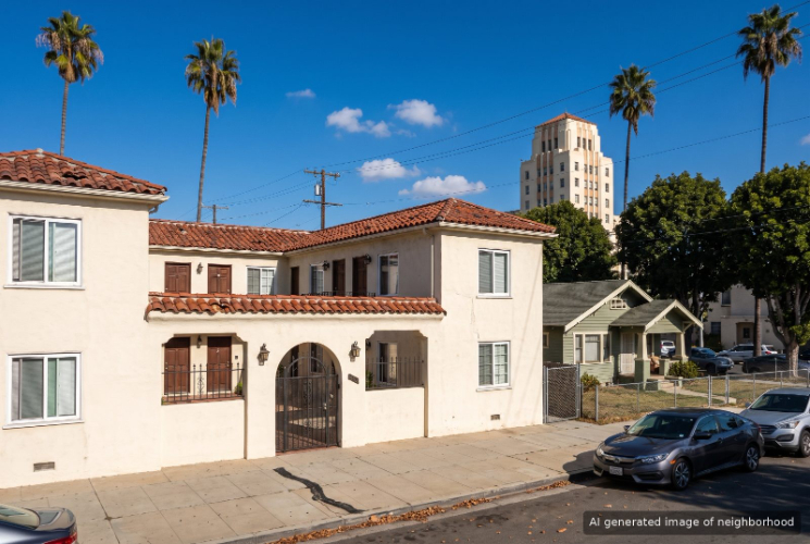
Saint Mary's, Long Beach, CA
Keywords: Hospital Anchor, Central Bungalows, Transit Close
Saint Mary's grew up around St. Mary Medical Center on Linden Avenue, a hospital that has served Long Beach for more than a century. ... See Full Page
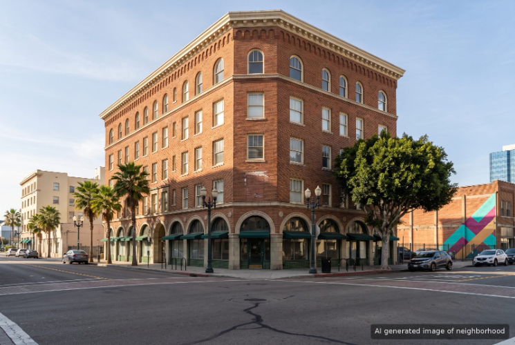
East Village, Long Beach, CA
Keywords: Arts District, Gallery Walk, Loft Living
East Village is the arts district on the eastern side of downtown Long Beach, a compact grid of older brick and Art Deco buildings with galleries, tattoo studios and independent cafes on the ground floors. It has a looser, more homegrown feel than the more visitor-oriented Pine Avenue side of downtown. ... See Full Page
Downtown Long Beach, Long Beach, CA
Keywords: Pine Avenue, Waterfront District, Urban High-Rise
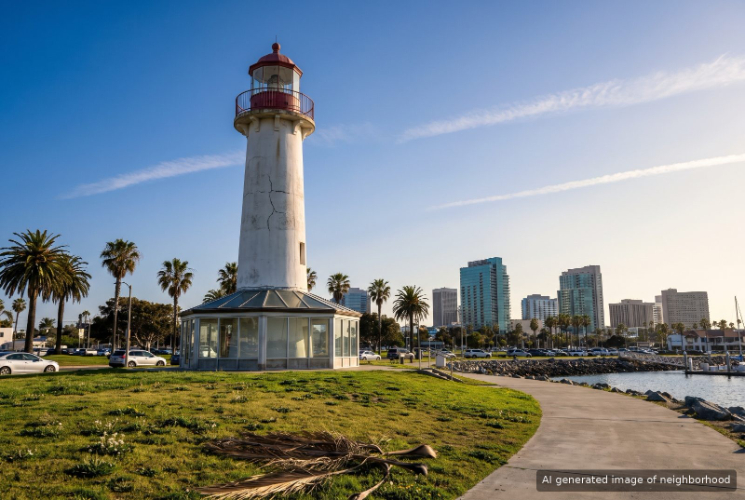
Downtown Long Beach is the city's high-rise core, a walkable grid of condo towers, converted historic buildings and office blocks that ends at a working waterfront of marinas, a lighthouse and the Aquarium of the Pacific. ... See Full Page
Belmont Heights, Long Beach, CA
Keywords: Historic Homes, Broadway Dining, Coastal Adjacent
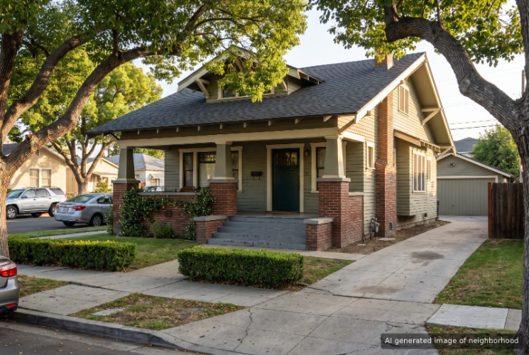
Belmont Heights is the Craftsman quarter of Long Beach, a grid of early 1900s bungalows running from 7th Street down to the ocean bluff between Redondo and Nieto avenues. It started as its own small city in 1908, and because Long Beach was dry back then, the Heights was where people came for a drink. ... See Full Page
Plaza, Long Beach, CA
Keywords: Grounds Bakery, Spring Street, Lakewood Plaza Tract
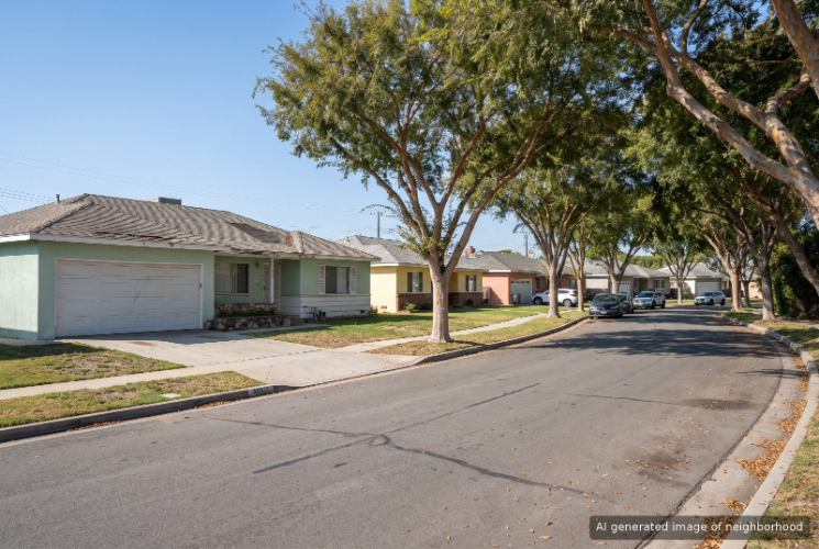
Plaza is an east Long Beach grid of 1950s single-story homes wrapped around the busy corner of Spring Street and Palo Verde Avenue. The area started out as one piece of the Lakewood Plaza tract, and in 1953 its owners voted to annex to Long Beach, the first of the Lakewood-area tracts to do so. ... See Full Page
Alamitos Bay Marina, Long Beach, CA
Keywords: Alamitos Bay Landing, Caffe Luxxe, Davie's Launch Ramp
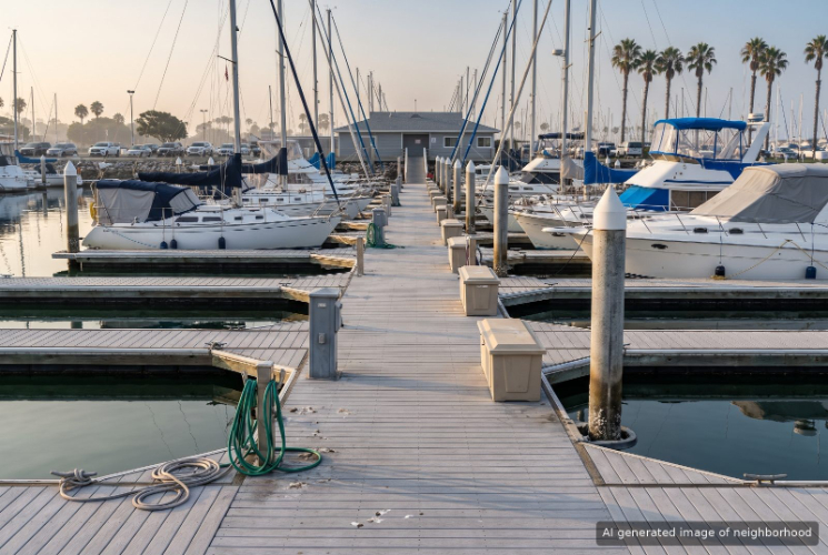
Alamitos Bay Marina is the boating corner of Long Beach, where docks, launch ramps and shipyards line the water just north of Naples and east of Second Street. The neighborhood runs from the waterfront restaurants of Alamitos Bay Landing up to the busy shopping at Second Street and Pacific Coast Highway, and most days the view is masts. ... See Full Page
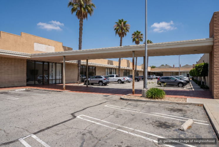
Los Altos, Long Beach, CA
Keywords: Los Altos Center, Whaley Park, Clark Avenue Coffee
Los Altos is the east Long Beach neighborhood built around a shopping center and a university, stretching from Clark Avenue to Studebaker Road between the 405 and Cal State Long Beach. It is the part of the city where a Trader Joe's run, a college basketball game and a quiet cul-de-sac can all fit in one afternoon. ... See Full Page
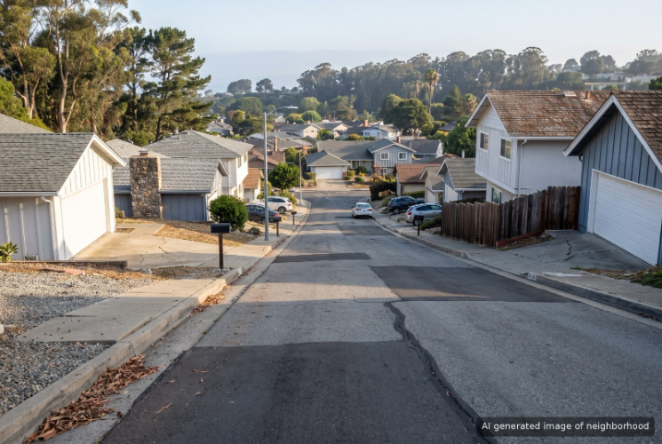
University Park, Long Beach, CA
Keywords: CSULB Japanese Garden, University Park Estates, Channel View Park
University Park in Long Beach takes in the Cal State Long Beach campus and the residential streets of University Park Estates to its south, between Bellflower Boulevard and the Los Cerritos Channel. The campus is the neighborhood's front yard, and it shapes the traffic, the food and the rhythm of the year. ... See Full Page
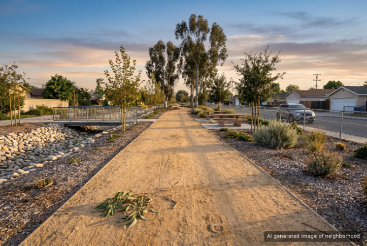
Wrigley, Long Beach, CA
Keywords: Wrigley Greenbelt, Willow Street, Veterans Park
Wrigley sits just east of the river levee in central Long Beach, and that concrete channel works as its backyard. The Wrigley Greenbelt runs along the top of the levee with walking paths, then ties into the regional river bike path heading down to the harbor. ... See Full Page
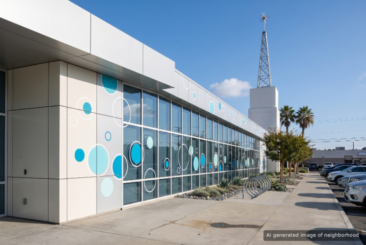
North Long Beach, Long Beach, CA
Keywords: Sal's Gumbo Shack, LA River Trail, Molina Park
North Long Beach stretches up Long Beach Boulevard toward the city line, a working corridor where Creole kitchens, pupuserias and panaderias share the blocks with auto shops and trailer parks. The area sometimes goes by Uptown, and it has its own history as the site of the city's original civic center from the rancho days. ... See Full Page
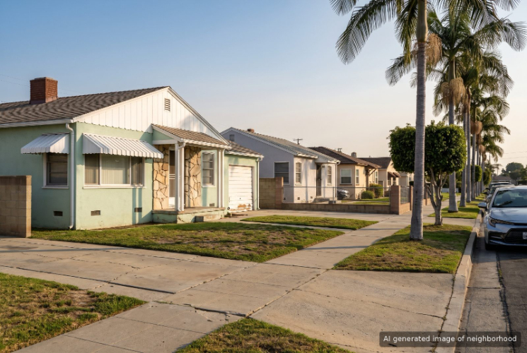
Cherry Manor, Long Beach, CA
Keywords: Davenport Park, Lee's Sandwiches, Paramount Boulevard
Cherry Manor is a pocket of postwar houses on the east side of North Long Beach, stretching from South Street and Cherry Avenue out toward Paramount Boulevard and the city's edge. It is a quiet residential grid with a neighborhood park in the middle and a lot of everyday shopping on the outside. ... See Full Page
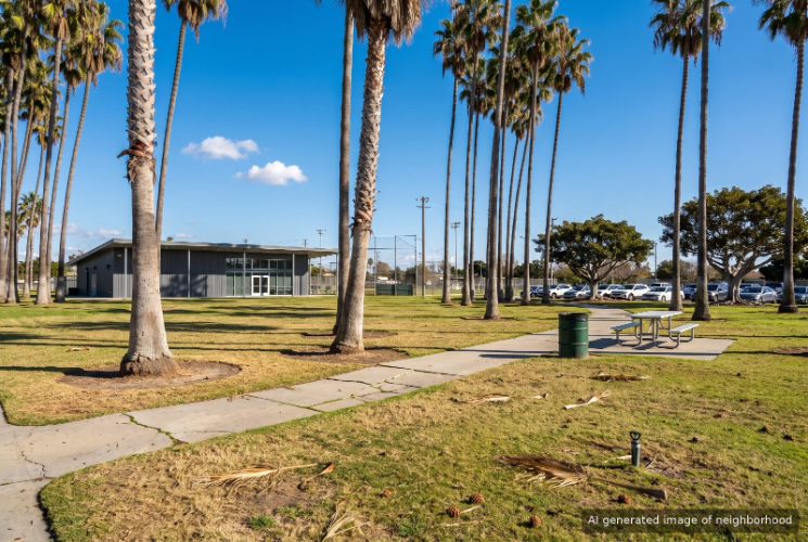
Houghton Park, Long Beach, CA
Keywords: DeForest Wetlands, Houghton Skatepark, Michelle Obama Library
Houghton Park takes its name from the 26-acre park at its center, and in this corner of North Long Beach the park really is the town square. Ball diamonds, soccer fields, tennis and basketball courts and a skate park built in 2004 fill the grounds, and a memorial to local Vietnam veterans stands near the community center. ... See Full Page
Scores updated October 2026
Best-Value Neighborhoods
Loading map...
View Full Map
Long Beach home value: your questions, answered
Which Long Beach neighborhoods are priced above their expected value?
1 Long Beach neighborhood is priced above expected value. The largest gaps are Belmont Heights ($348k).
How many Long Beach neighborhoods are priced below their expected value?
0 of 42 ranked Long Beach neighborhoods with a value figure are priced below expected value, and 1 is priced above it.
More Long Beach rankings
- Best neighborhoods in Long Beach
- Best neighborhoods for schools in Long Beach
- Safest neighborhoods in Long Beach
- Best neighborhoods for amenities in Long Beach
- Most affordable neighborhoods in Long Beach
- Fastest-appreciating neighborhoods in Long Beach