

Most Affordable Neighborhoods in Oakland, CA


The lowest typical home price among ranked Oakland neighborhoods is $323,320, in Chinatown, against a citywide typical home price of $684,043. Prices run up to $3,049,710 in Piedmont across 103 ranked neighborhoods.
Houseberry scores 130 Oakland neighborhoods on schools, safety, amenities, price, value and appreciation. Overall scores in Oakland run from 1.4 to 4.3 out of 5, and 2 score 4 out of 5 or higher. Typical home prices range from $323,320 in Chinatown to $3,049,710 in Piedmont across 103 priced neighborhoods. Across the five nearest cities the average overall score is 3.4 out of 5, against 2.5 in Oakland.
Learn more about Oakland, CA.
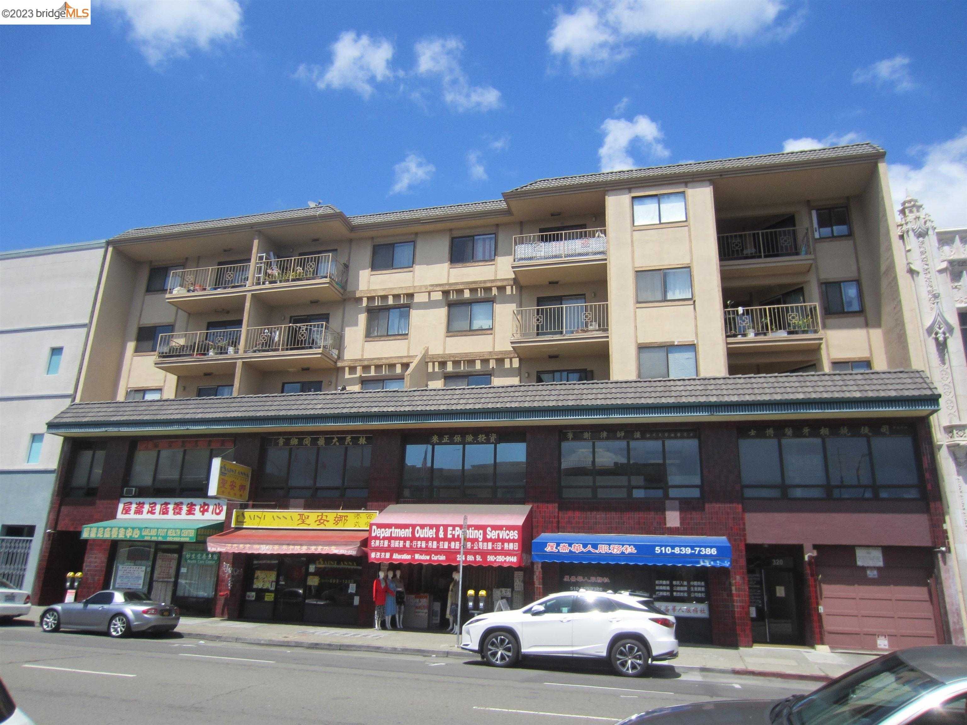
Chinatown, Oakland, CA



(2) City data used
Keywords: Bustling street markets, Transit-rich location, Late-night dining hub
Oakland's Chinatown packs a century of history into a snug grid south of downtown, where low-rise brick and stucco buildings push right up to the sidewalk. Produce stalls spill onto 8th Street, delivery vans double-park on Webster, and bilingual signs form a neon canopy after dark. Housing is limited to a handful of walk-up apartments and newer condo floors above retail; most upper stories hold offices, family associations, and businesses rather than homes. ... See Full Page
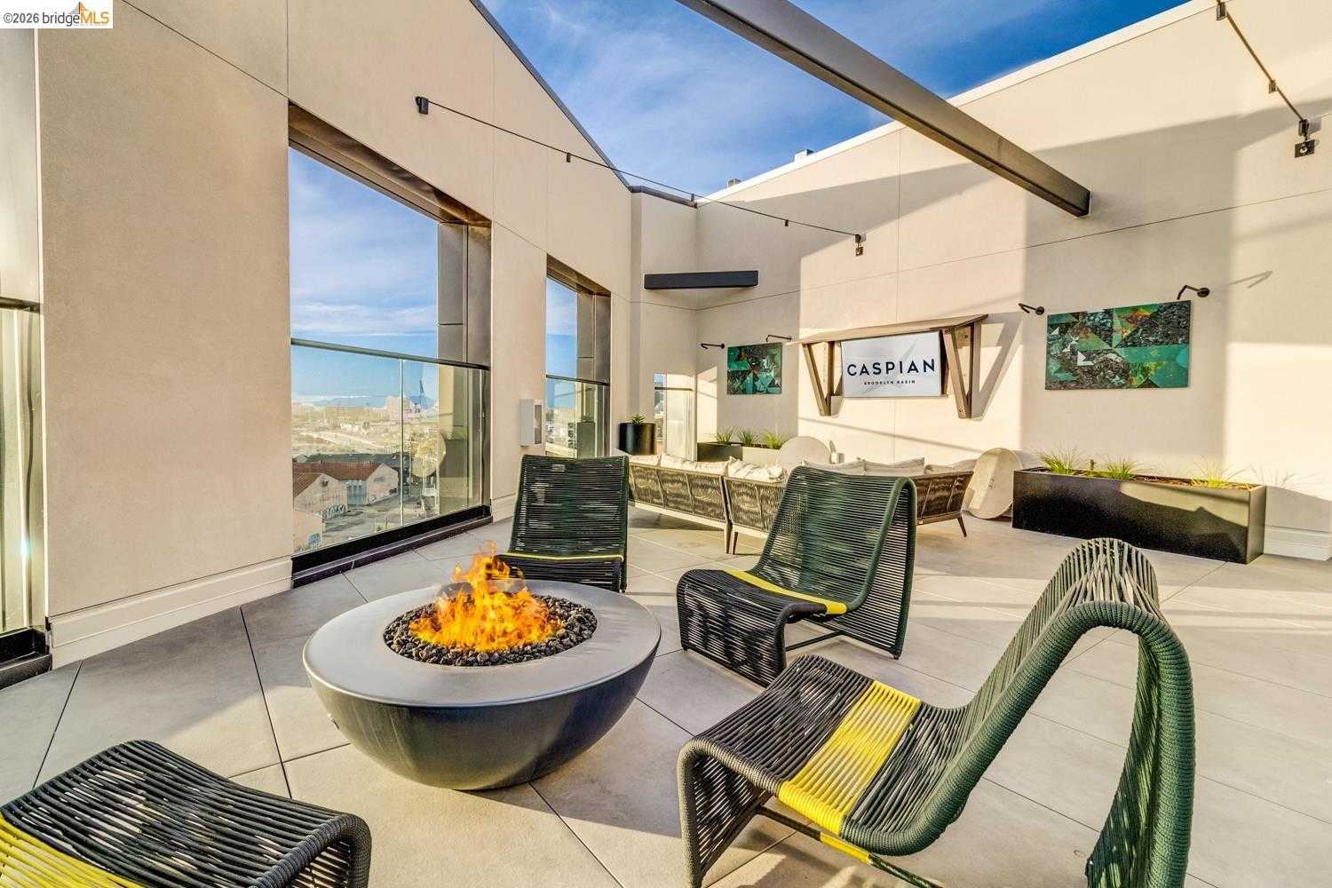
Embarcadero, Oakland, CA
(2) City data used
Keywords: Waterfront marinas, Emerging Brooklyn Basin, Bay Trail connection
Embarcadero hugs the south bank of the Oakland-Alameda Estuary, a long, skinny strip pinned between the freeway and the water. The shoreline alternates between working boatyards, hotel decks looking onto the Fifth Avenue Marina, and the fresh concrete promenades of Brooklyn Basin's new mid-rise apartments. Inland of the roadway sit older metal-clad warehouses, wholesale seafood docks, and a few scrap lots, so the streetscape flips from glossy to utilitarian within a block. ... See Full Page
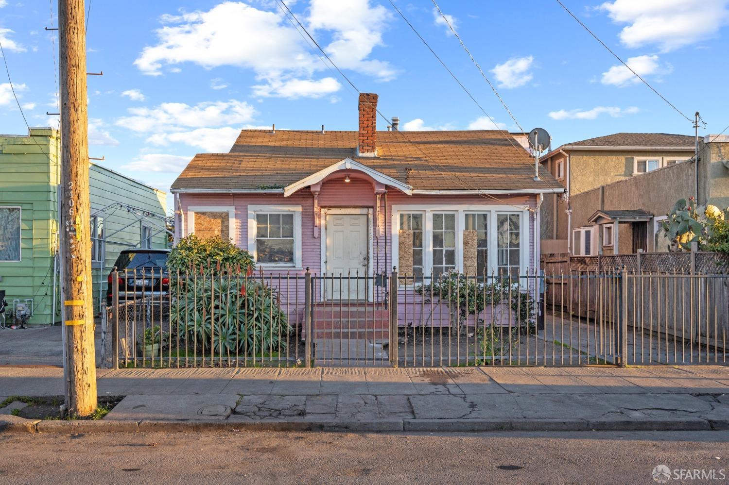
Coliseum, Oakland, CA
(2) City data used
Keywords: Carter Gilmore Park, Quick BART access, Industrial edges
Coliseum is squeezed between International Boulevard and the rail lines along San Leandro Street, a flat, tight grid of 1920s bungalows, post-war cottages, and small apartment boxes. The Nimitz Freeway boxes it in to the south and the freight and BART tracks to the west, so trains, trucks, and stadium traffic keep up a near-constant backdrop of motion and noise. ... See Full Page
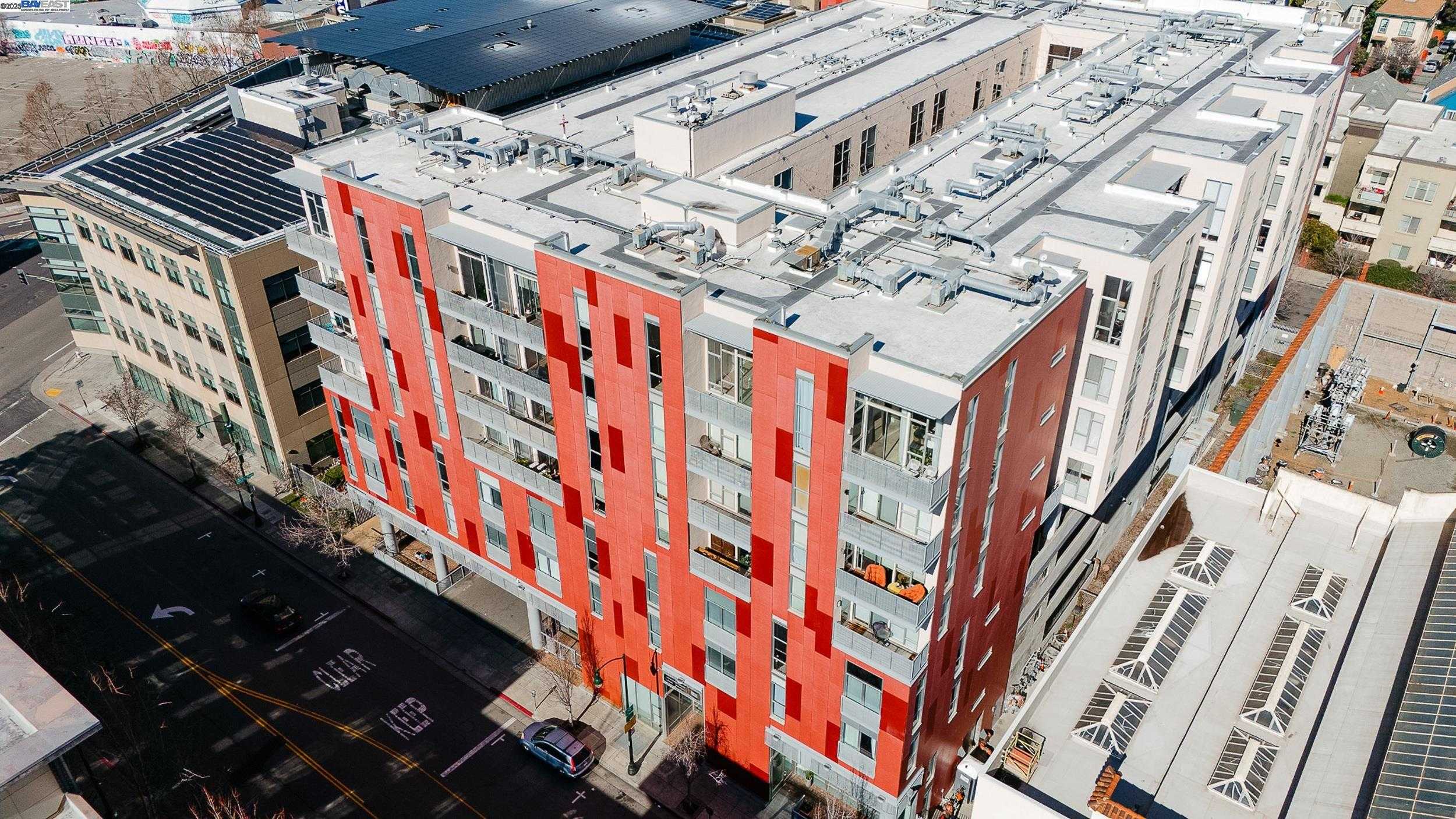
Uptown, Oakland, CA
(2) City data used
Keywords: Arts and entertainment district, Fox and Paramount theaters, Walk-to-BART nightlife
Uptown is the arts-and-entertainment heart of downtown Oakland, the district the city officially designated as such in 2009 and the one most responsible for the area's nightlife revival. Centered on the upper end of Broadway and Telegraph, it turned a stretch once dominated by parking lots into a dense core of theaters, bars, galleries, and restaurants. The two landmark movie palaces define it: the 1931 Paramount, a stunning Art Deco hall, and the Fox Oakland, restored in 2009 and now home to the Oakland School for the Arts. ... See Full Page
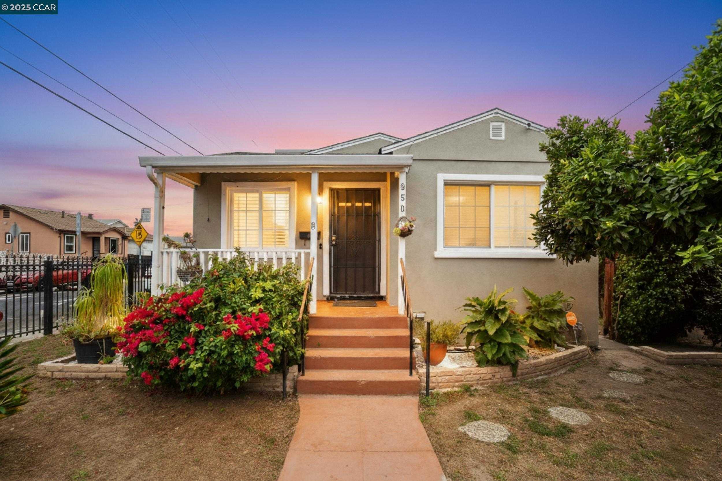
North Stonehurst, Oakland, CA
(2) City data used
Keywords: Stonehurst-area flats, Affordable and isolated, San Leandro border pocket
North Stonehurst is a deep East Oakland neighborhood near the San Leandro border, part of the Stonehurst area that grew up around the Stonehurst School after it opened in 1915. The streets are a flat grid of early-1900s and post-war homes on small lots, partly cut off from the rest of the city by rail lines and San Leandro Creek, which gives the broader Stonehurst-Sobrante Park area its distinct, isolated feel. Upkeep runs the familiar range from tidy to deferred. ... See Full Page
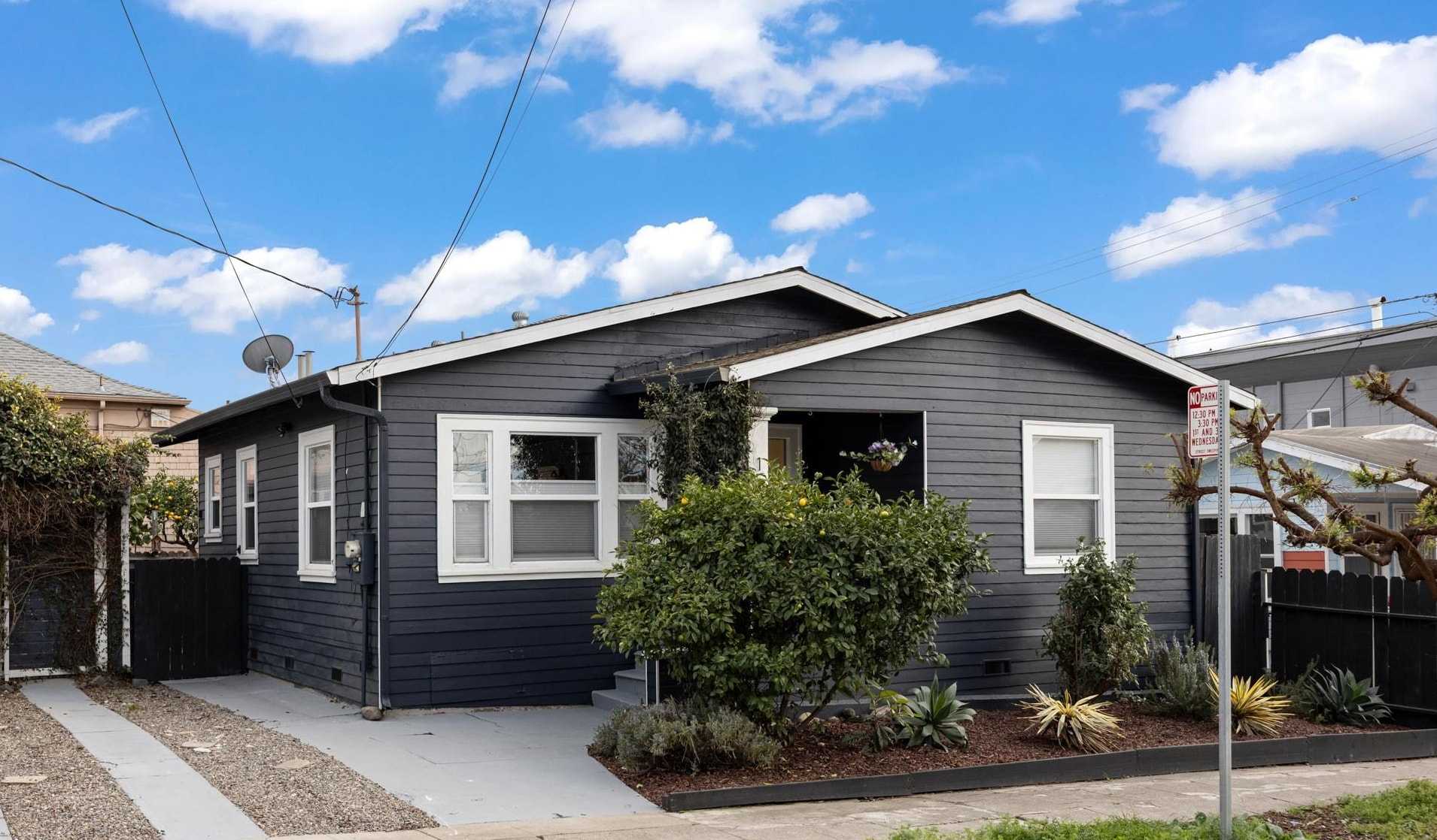
Rancho San Antonio, Oakland, CA
(2) City data used
Keywords: Historic San Antonio flats, Lake-to-creek location, Global corridor dining
Rancho San Antonio is a residential pocket in Oakland's broad San Antonio district, the area east of Lake Merritt named for the original Peralta land grant. This is one of the older parts of the city, settled in the 1850s around a store and wharf and later known as Brooklyn before annexation, and it still shows turn-of-the-20th-century housing, Victorians and early bungalows, on a flat, walkable grid between the lake and Sausal Creek. ... See Full Page
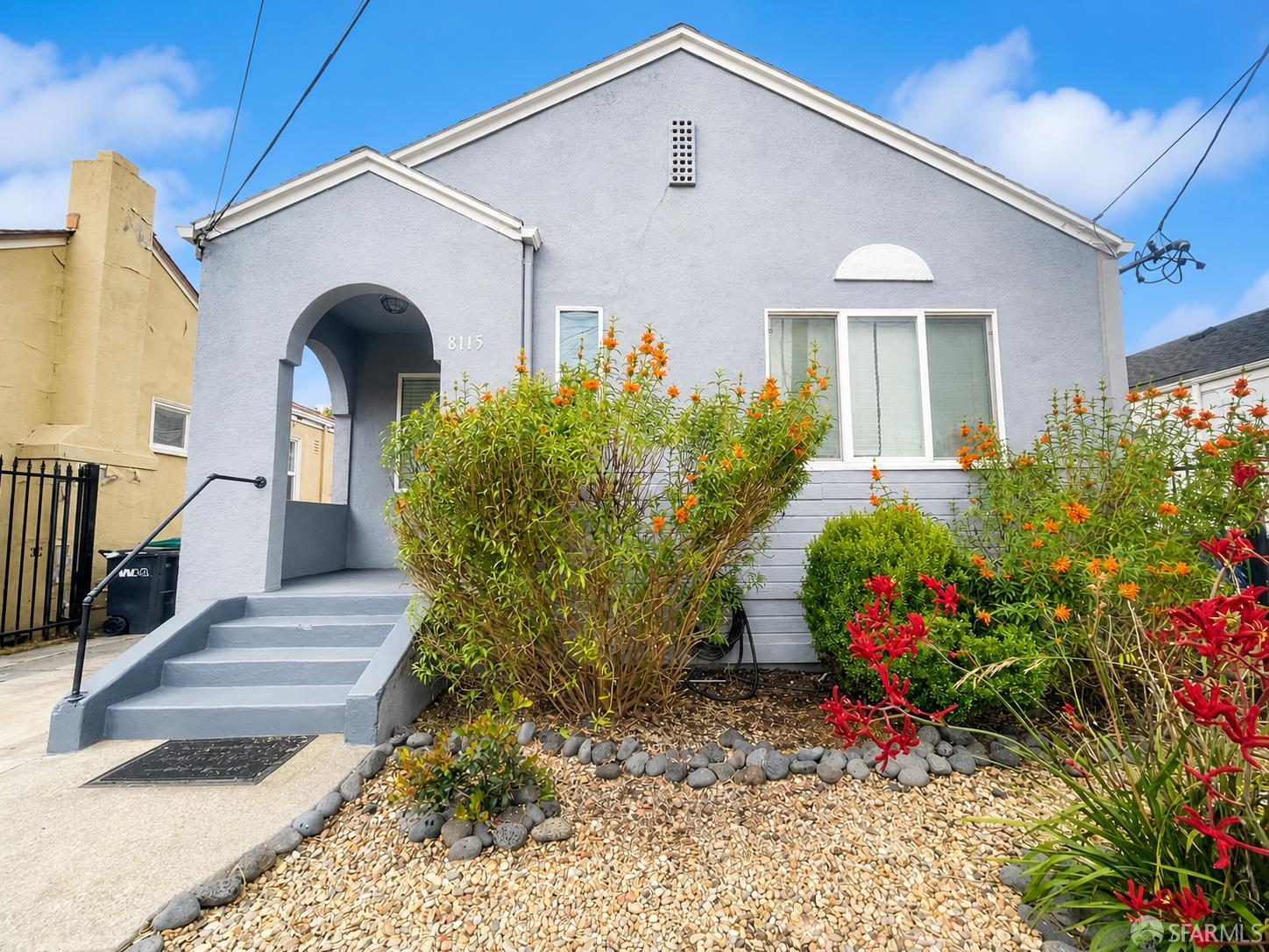
Eastmont, Oakland, CA
(2) City data used
Keywords: Eastmont Town Center hub, Reinvented mall site, Service-anchored flats
Eastmont is the flatland neighborhood built around Eastmont Town Center, the former Eastmont Mall that opened in the late 1960s on the site of a 1920s Chevrolet assembly plant. The center long ago shed its role as a shopping destination and reinvented itself as a community services hub, with a police substation, a health clinic, and county offices filling space once held by department stores. The surrounding streets, around Bancroft and 73rd, are a grid of post-war homes on small lots with the mixed upkeep typical of deep East Oakland. ... See Full Page
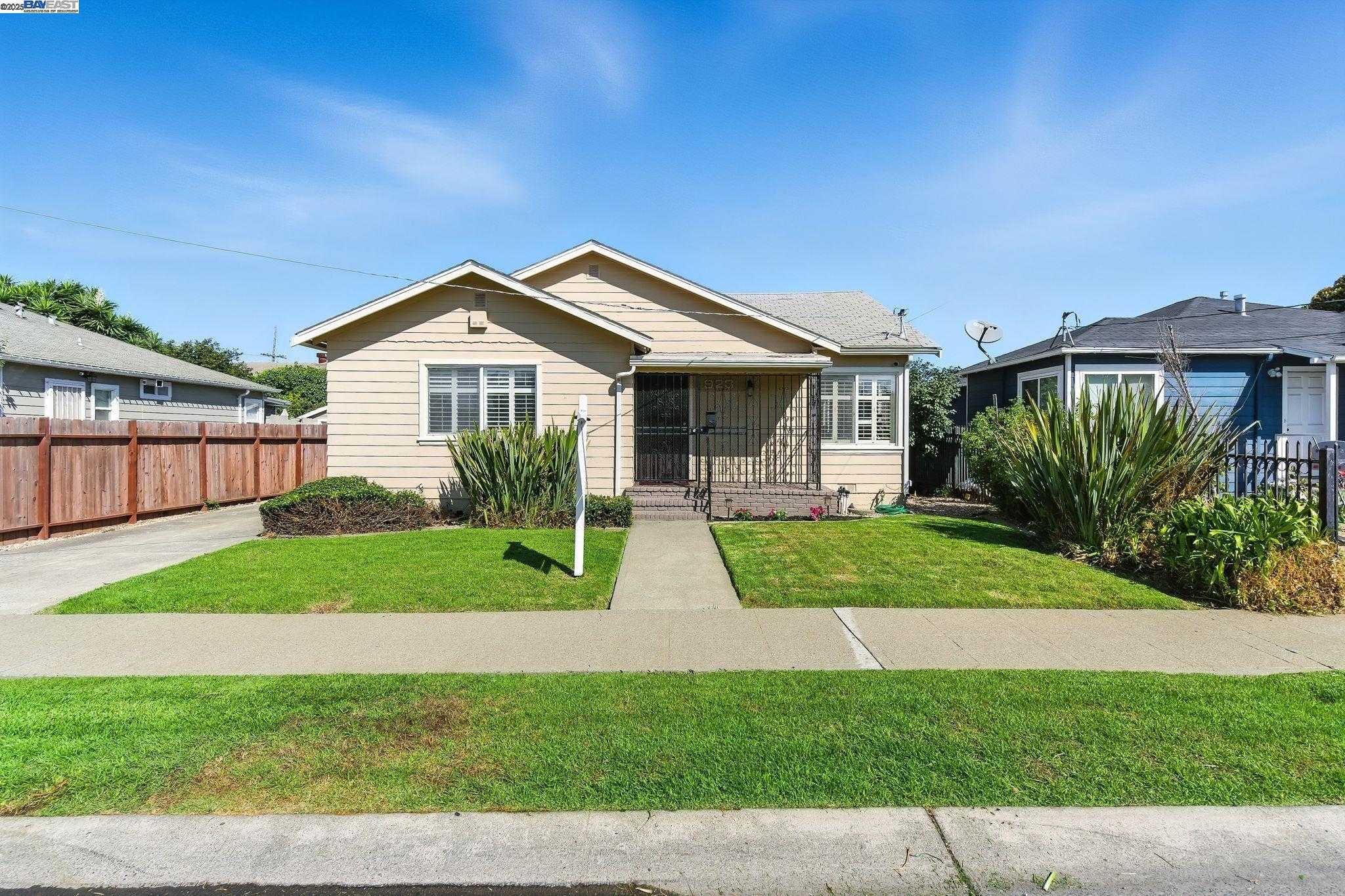
Highland, Oakland, CA
(2) City data used
Keywords: Foothill-base flats, Affordable East Oakland, Corridor-edge living
Highland is a flatland neighborhood in deep East Oakland, set in the grid in the stretch toward the foothills around the 86th Avenue and MacArthur area. The housing is the East Oakland standard, 1920s cottages and post-war bungalows on narrow, mostly fenced lots, with thin tree cover and the block-by-block alternation of well-kept homes and properties carrying deferred maintenance. It should not be confused with Highland Park, the separate pocket near Highland Hospital across town. ... See Full Page
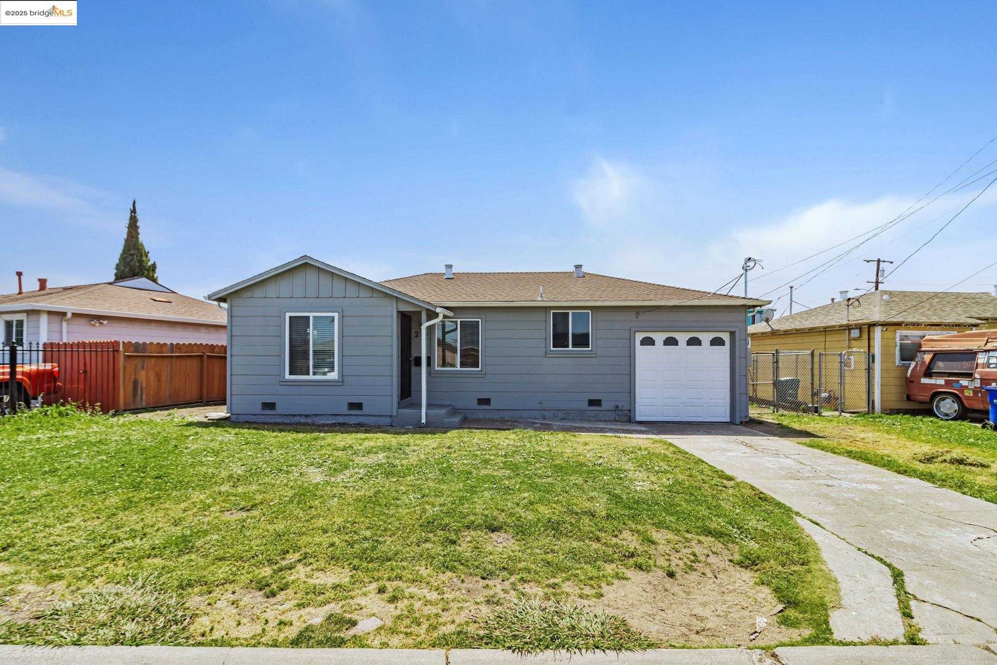
Brookfield Village, Oakland, CA
(2) City data used
Keywords: Patterson Park amenities, Winding wartime subdivision, Airport-edge value
Brookfield Village is an unusual piece of East Oakland: a WWII-era subdivision of more than a thousand homes laid out on winding, contoured streets rather than the flat grid that defines most of the flats. Built quickly for wartime shipyard and factory workers on land near the airport, it still reads as its own self-contained pocket, bounded by 98th and Edes, with modest single-story houses and shade trees lining the curving blocks. ... See Full Page
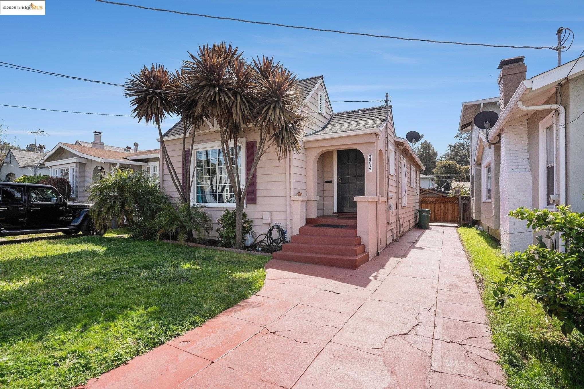
Castlemont, Oakland, CA
(2) City data used
Keywords: Castlemont High anchor, Foothill-base grid, Affordable East Oakland
Castlemont sits at the base of the East Oakland hills, several blocks back from International Boulevard and named for the high school that has anchored it since 1929. The streets are a flat grid of 1920s and post-war homes on small lots, with the familiar deep-East-Oakland pattern of well-kept houses and drought gardens sitting next to properties that have seen better decades. The land tilts up toward the foothills at the eastern edge, where MacArthur and the slopes begin. ... See Full Page
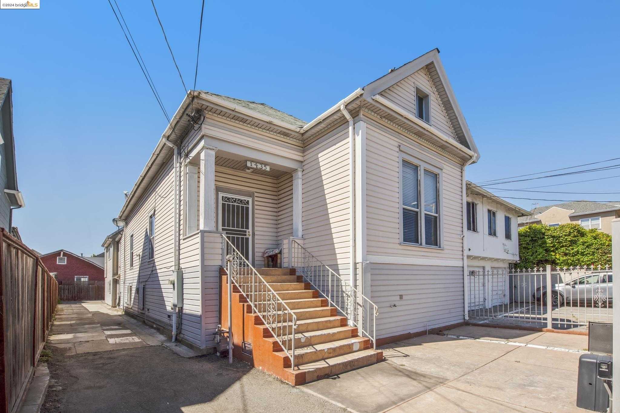
East Peralta, Oakland, CA
(2) City data used
Keywords: Waterfront edge proximity, Industrial residential mix, Quick Lake Merritt BART
East Peralta wedges between International Boulevard and the Nimitz Freeway from about 5th to 14th Avenues, a tight grid of 1890s cottages, working-class bungalows, and small apartment boxes sitting cheek to cheek with auto-glass shops, tire yards, and the BART maintenance yard. Heavy rail on the north edge and I-880 on the south keep a steady rumble going, while the wide Embarcadero frontage roads funnel trucks toward the port. ... See Full Page
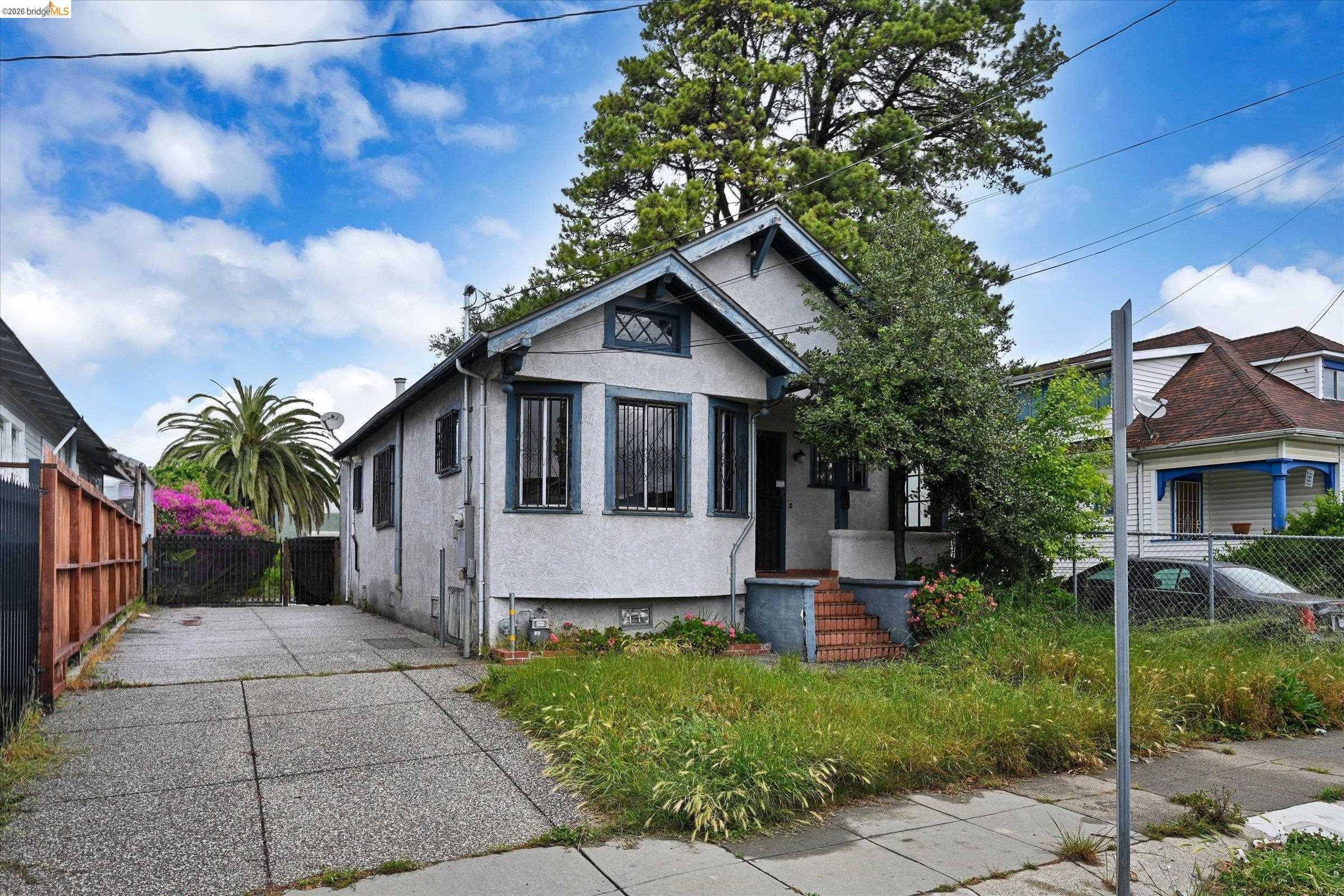
Seminary, Oakland, CA
(2) City data used
Keywords: Seminary Avenue spine, Central East Oakland flats, Eastmont Center nearby
Seminary is a flatland neighborhood in East Oakland centered on Seminary Avenue, the street whose name traces back to Mills College, once the Young Ladies' Seminary, since the avenue was the old route from the bayshore up to the campus. It sits wedged among Frick, Havenscourt, Lockwood, and the Fairfax business area, a grid of 1920s cottages and post-war homes on small lots with the block-by-block mix of upkeep that defines this part of town. ... See Full Page
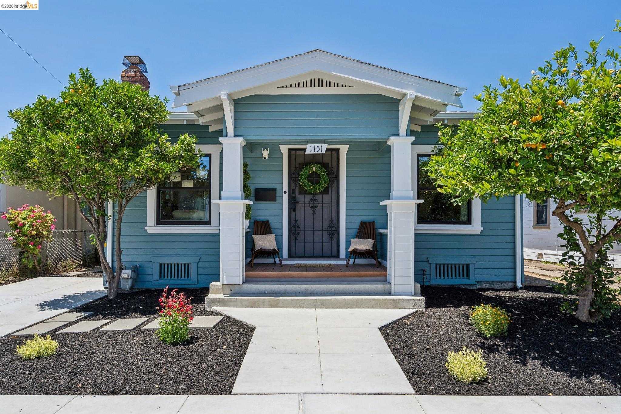
Lockwood-Tevis, Oakland, CA
(2) City data used
Keywords: Lockwood Gardens core, Near Coliseum BART, Rainbow Rec Center
Lockwood-Tevis sits in East Oakland around 65th Avenue, less than a mile from the Coliseum and anchored by Lockwood Gardens, the Oakland Housing Authority development that locals know as the 6-5 Vill. The surrounding blocks are flat, with post-war homes and apartments on small lots, the public-housing courts giving the neighborhood much of its identity and its tight internal community. Foothill and International frame it, and the rail and freeway corridors are never far. ... See Full Page
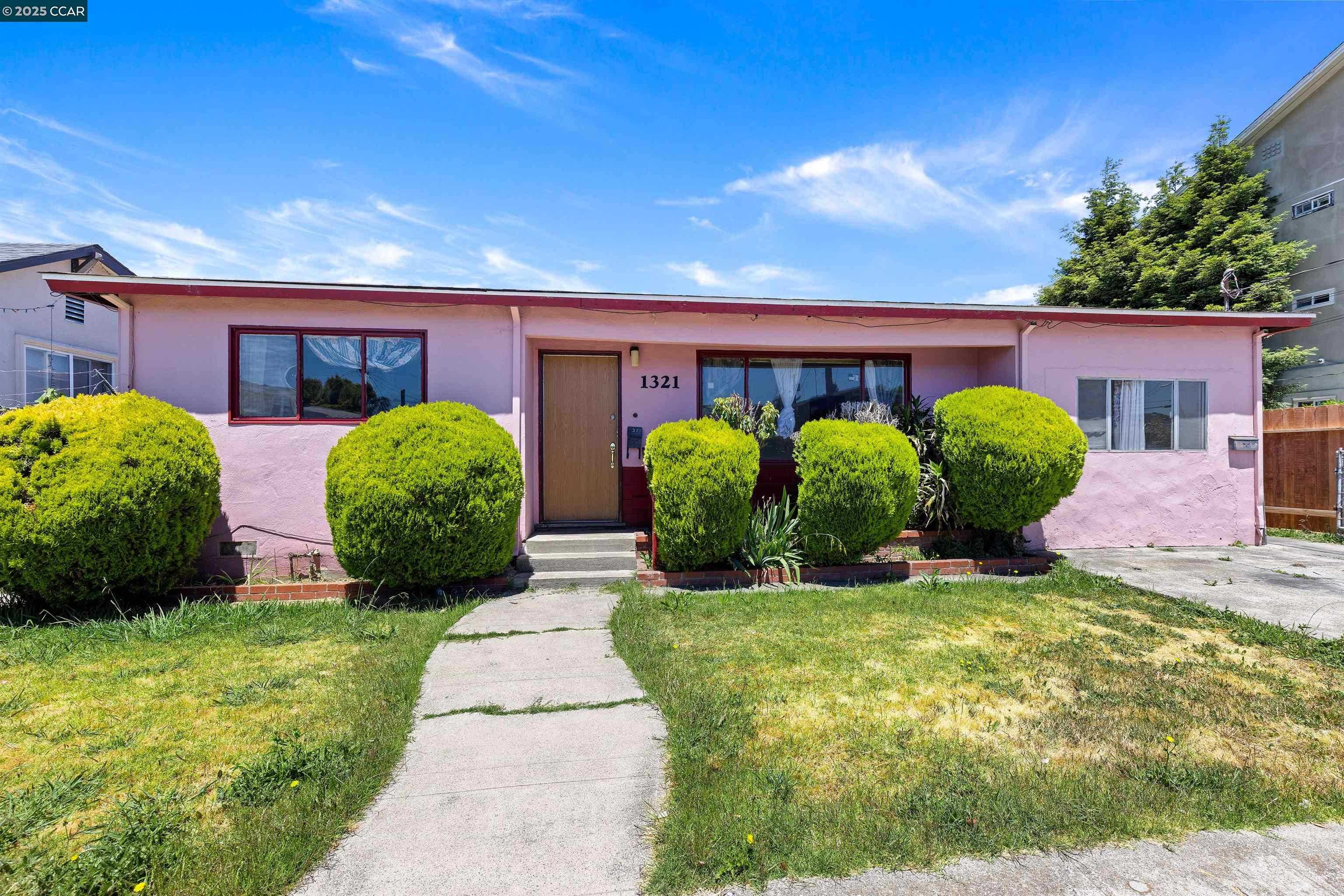
Fitchburg, Oakland, CA
(2) City data used
Keywords: Historic roadside settlement, Affordable flatland grid, Corridor convenience
Fitchburg is one of the old roadside settlements of East Oakland, a name that dates to the 19th century when small communities grew up along the Oakland-San Leandro Road before annexation folded them into the city. Today it reads as a flat residential grid of 1920s cottages and post-war homes in the stretch between Foothill and International, sharing the look and rhythm of the surrounding flats: narrow fenced lots, light tree cover, and upkeep that shifts from block to block. ... See Full Page
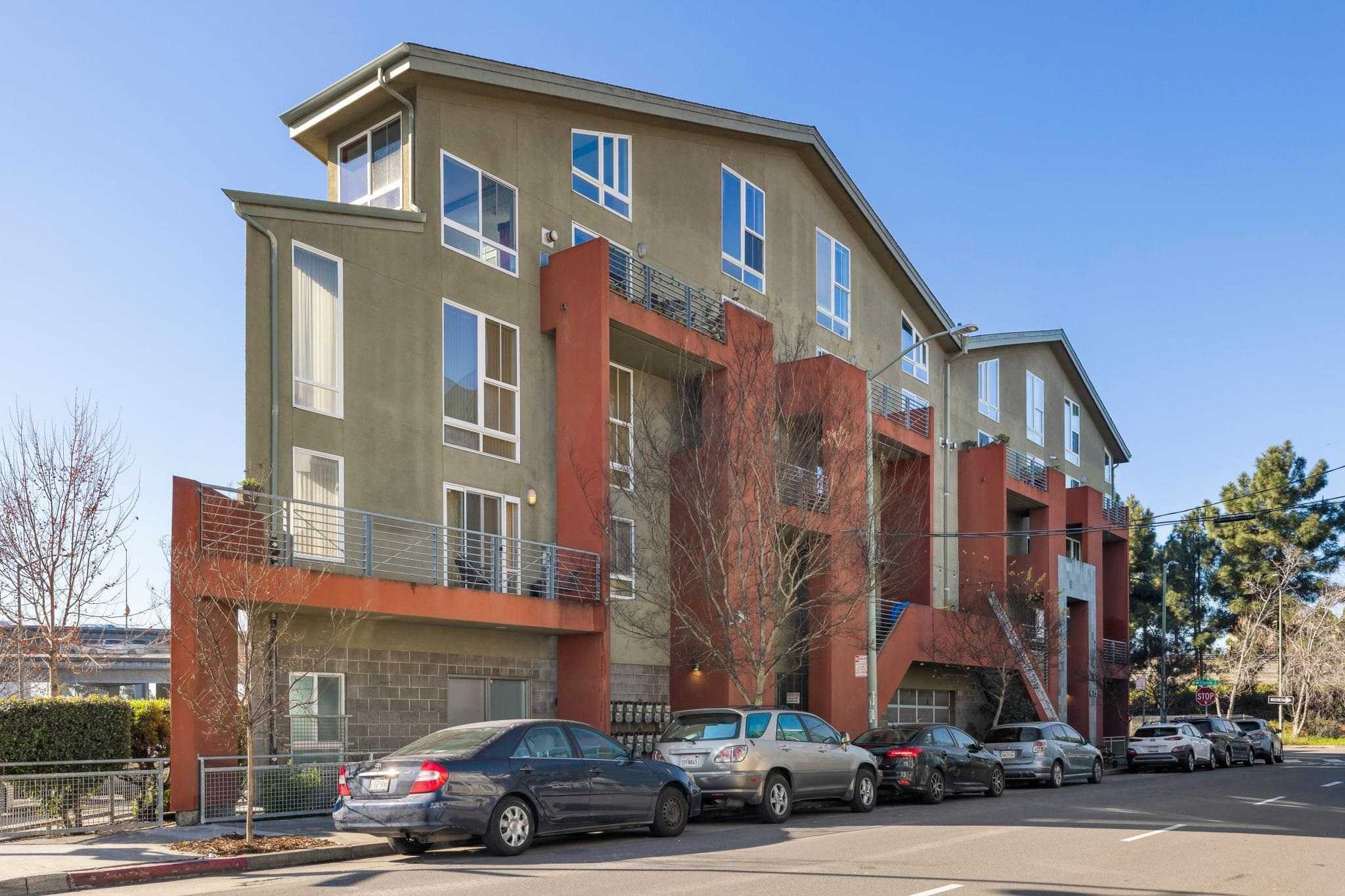
Old Oakland, Oakland, CA
(2) City data used
Keywords: Restored Victorian Row, Swan's Market dining, Historic downtown core
Old Oakland is the city's best-preserved 19th-century quarter, a downtown district centered on Washington and 9th that still holds block after block of Italianate and Victorian commercial buildings. The heart of it is Victorian Row, a stretch of 1860s-to-80s storefronts that developers carefully restored in the 1970s and 80s, lending the area a cohesive, postcard-historic streetscape rare in downtown Oakland. Housing here is mostly upper-floor units and lofts above the retail. ... See Full Page
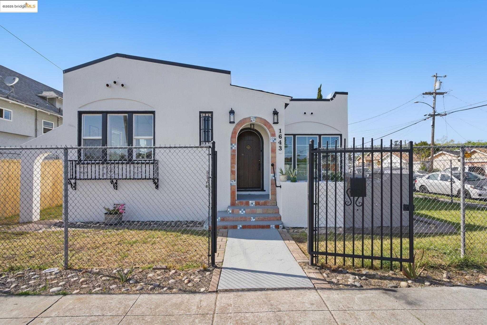
Webster, Oakland, CA
Keywords: Brinson Mini-Park, Grid of classic bungalows, International Boulevard transit
Webster spans the flat East Oakland grid between International Boulevard and Bancroft, roughly from 79th to 92nd Avenue. Neat rows of 1920s-to-40s bungalows fill the interior blocks, most sitting close to the sidewalk behind waist-high chain-link fences and slim front lawns. The long, straight streets give broad sightlines, but the lack of mature street trees means midday sun can feel relentless and curb appeal varies house to house. ... See Full Page
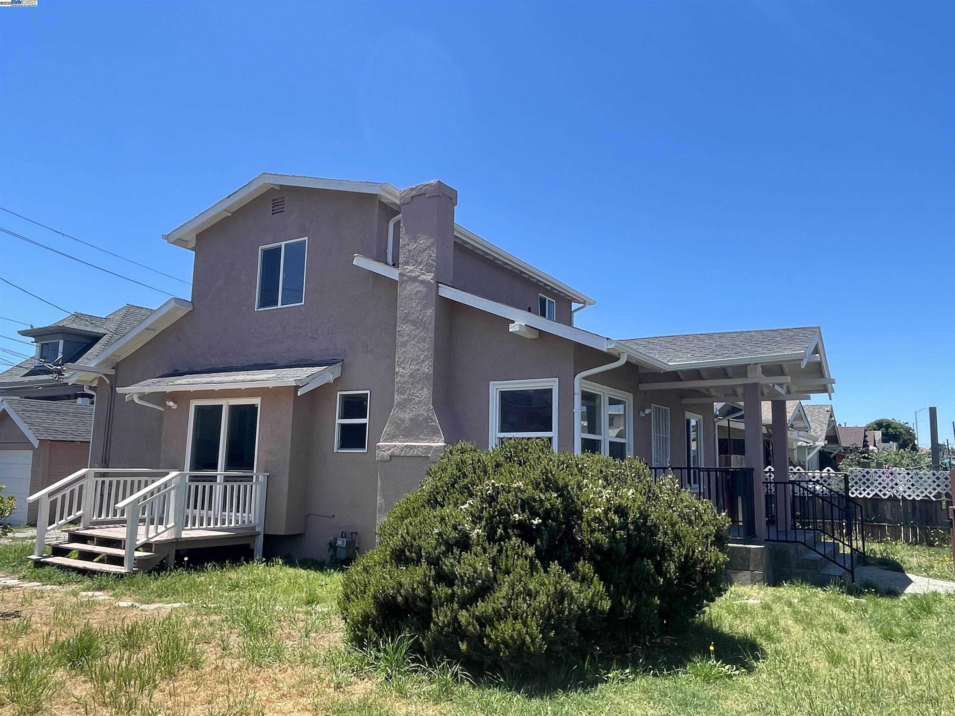
Wentworth Holland, Oakland, CA
(2) City data used
Keywords: Flatland-to-foothill pocket, Affordable East Oakland, Corridor convenience
Wentworth Holland is a small flatland-to-foothill pocket in East Oakland in the area near Seminary and Foothill, where the grid of the flats begins its rise toward the lower hills. The housing is a mix of 1920s cottages and post-war homes on modest lots, with the block-by-block range of upkeep that runs through this part of the city and a slightly more elevated, residential feel than the busiest corridors below. ... See Full Page
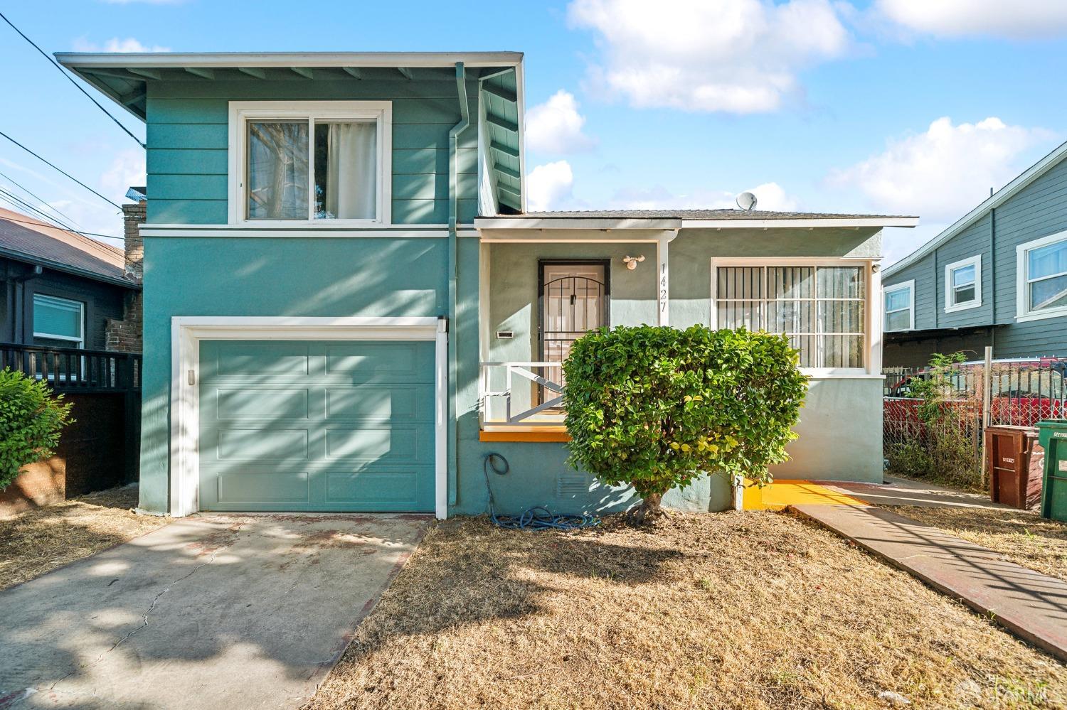
Iveywood, Oakland, CA
(2) City data used
Keywords: Industrial-edge location, Budget-friendly ranches, Few local parks
Iveywood is a small, flat pocket of East Oakland between 98th and Bancroft, laid out in a tidy grid of numbered cross-streets from 100th to 104th. Most homes are simple post-war ranches and a few earlier bungalows on narrow lots, with front yards often fenced and trimmed in drought-tolerant shrubs or paved over for extra parking. Industrial uses along 98th and the constant traffic on Bancroft give the edges a utilitarian feel, and there is little tree canopy to soften the summer heat. ... See Full Page
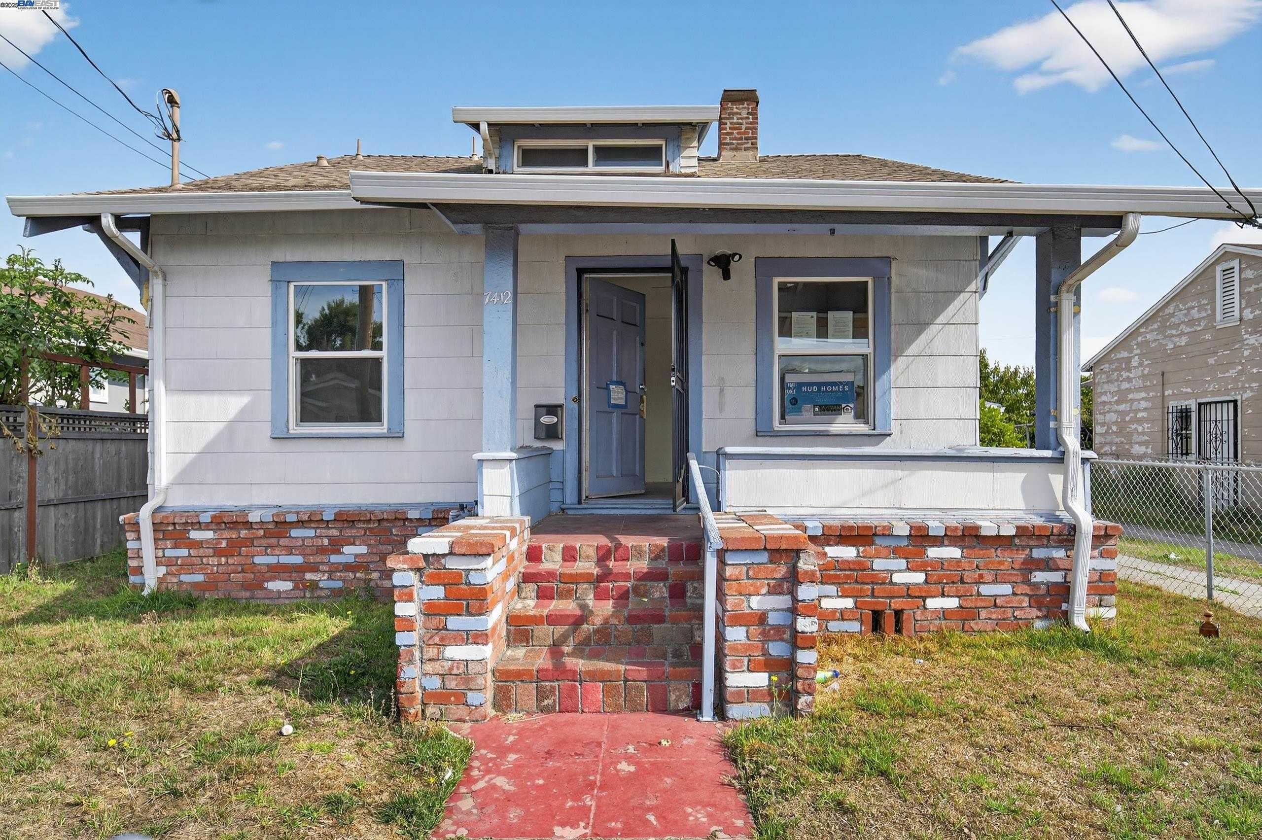
Arroyo Viejo, Oakland, CA
Keywords: Arroyo Viejo Park core, Creekside recreation center, Foothill-base flats
Arroyo Viejo takes its name and its identity from the park at its center, one of the larger green spaces in East Oakland. The streets are a flat-to-gently-rolling grid of 1920s cottages and post-war bungalows on narrow lots, several blocks uphill from International Boulevard at the base of the foothills. Curb appeal swings from freshly painted and gardened to homes waiting on repair, the familiar block-by-block pattern of the East Oakland flats. ... See Full Page
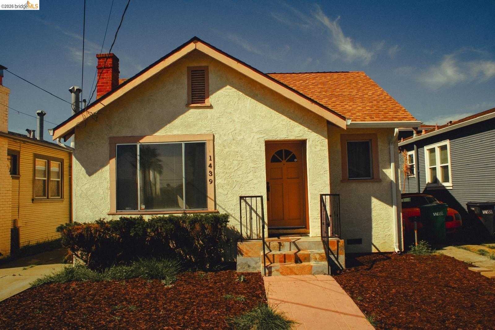
Hegenberger, Oakland, CA
(2) City data used
Keywords: Small flatland pocket, Lower-cost foothold, Corridor convenience
Hegenberger is a small flatland pocket in East Oakland, set in the grid below the foothills near the Bancroft and 73rd Avenue area. It is a modest residential stretch of post-war homes and bungalows on narrow lots, sharing the look and rhythm of the surrounding flats: fenced front yards, light tree cover, and curb appeal that shifts from tidy to deferred from one block to the next. ... See Full Page
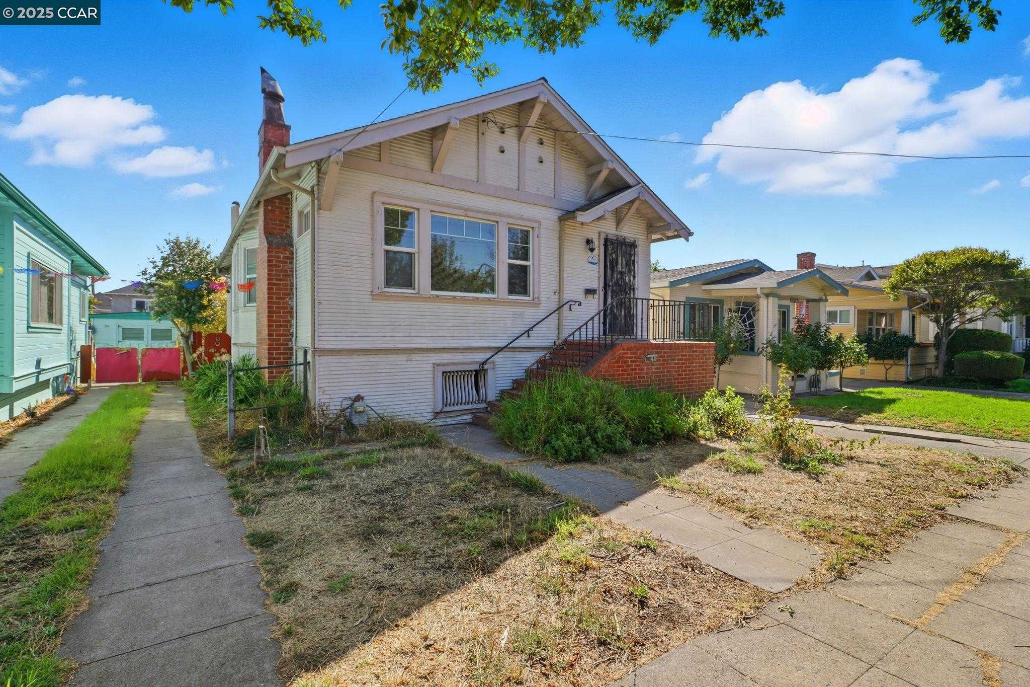
St. Elizabeth, Oakland, CA
(2) City data used
Keywords: Parish-anchored Fruitvale, Central flatland grid, International corridor dining
St. Elizabeth is a Fruitvale neighborhood named for the long-standing St. Elizabeth Catholic parish and its schools, around the 34th Avenue and Foothill area. It is a flat grid of early-1900s cottages, bungalows, and small apartment buildings on modest lots, with the dense, walkable feel and block-by-block upkeep that run through the central Fruitvale flats. The parish complex, church, and schools anchors the neighborhood's identity and daily rhythm. ... See Full Page
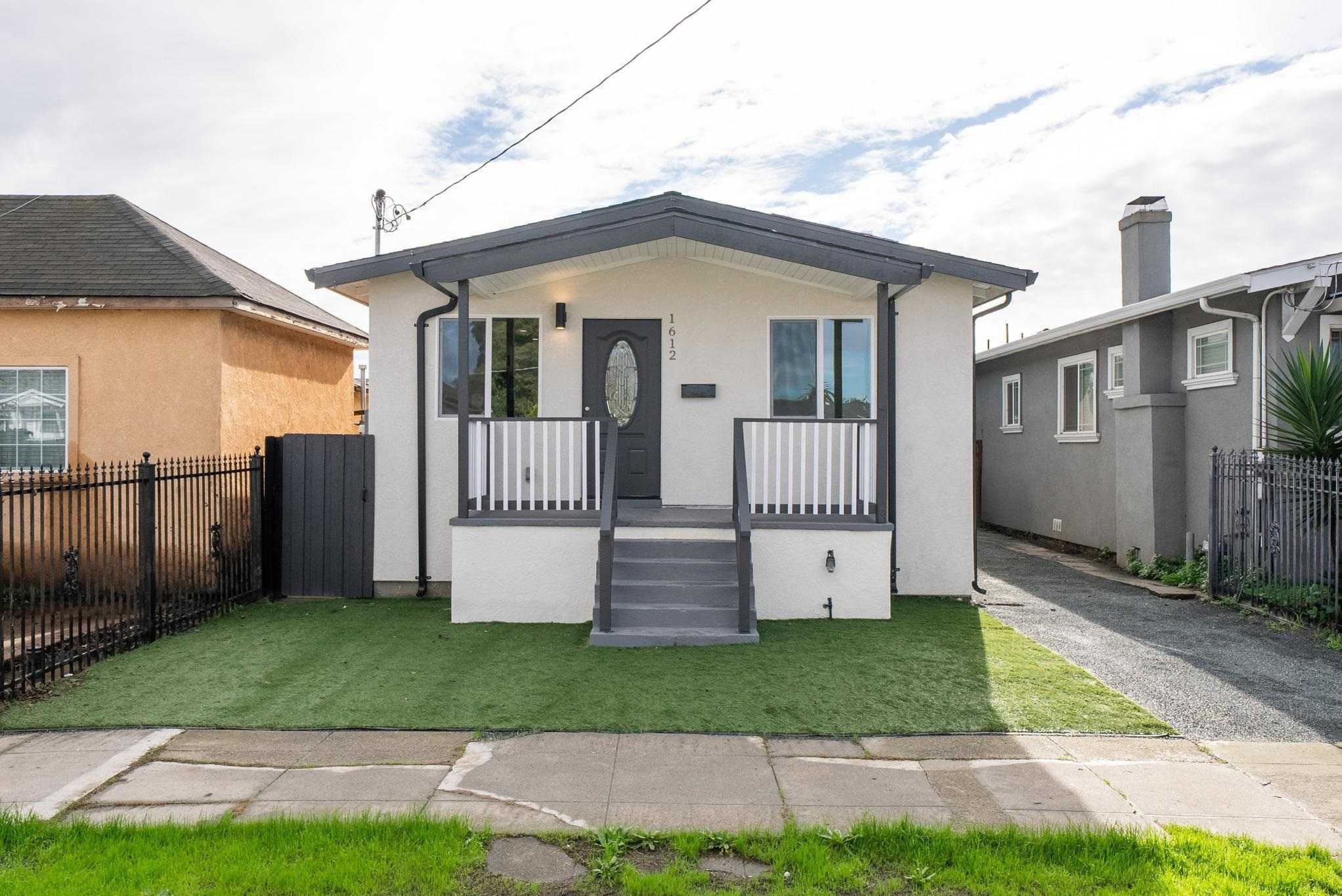
Cox, Oakland, CA
(2) City data used
Keywords: Modest flatland grid, Lower-cost foothold, Corridor-edge convenience
Cox is a small flatland neighborhood in East Oakland, a compact grid of streets in the stretch below the foothills near the 73rd to 82nd Avenue corridor. The housing is the East Oakland standard: 1920s cottages and post-war bungalows on narrow lots, fenced front yards, and a streetscape where fresh paint and tidy gardens sit alongside homes carrying deferred maintenance. Tree canopy is sparse, so the blocks read open and sun-exposed. ... See Full Page
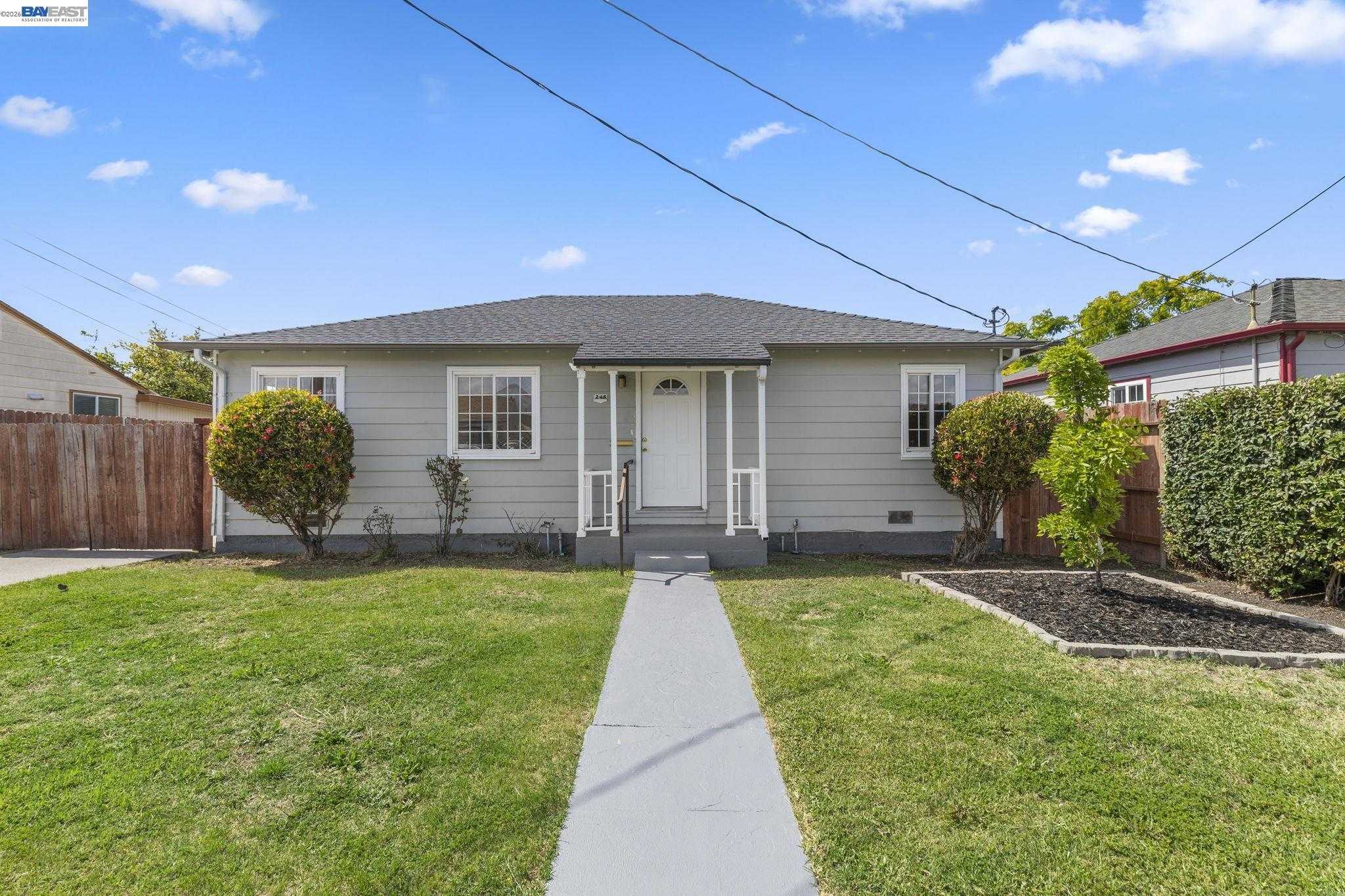
Columbia Gardens, Oakland, CA
(2) City data used
Keywords: Deep East Oakland flats, Industrial-edge value, San Leandro border pocket
Columbia Gardens is a small residential pocket in deep East Oakland, set on the flats near the San Leandro border between the Nimitz Freeway and the Edes Avenue industrial edge. The housing is mostly modest post-war single-story homes on a compact grid, many behind low fences with drought-tolerant or paved front yards, and tree cover is light enough that the summer sun bears down on the pavement. ... See Full Page
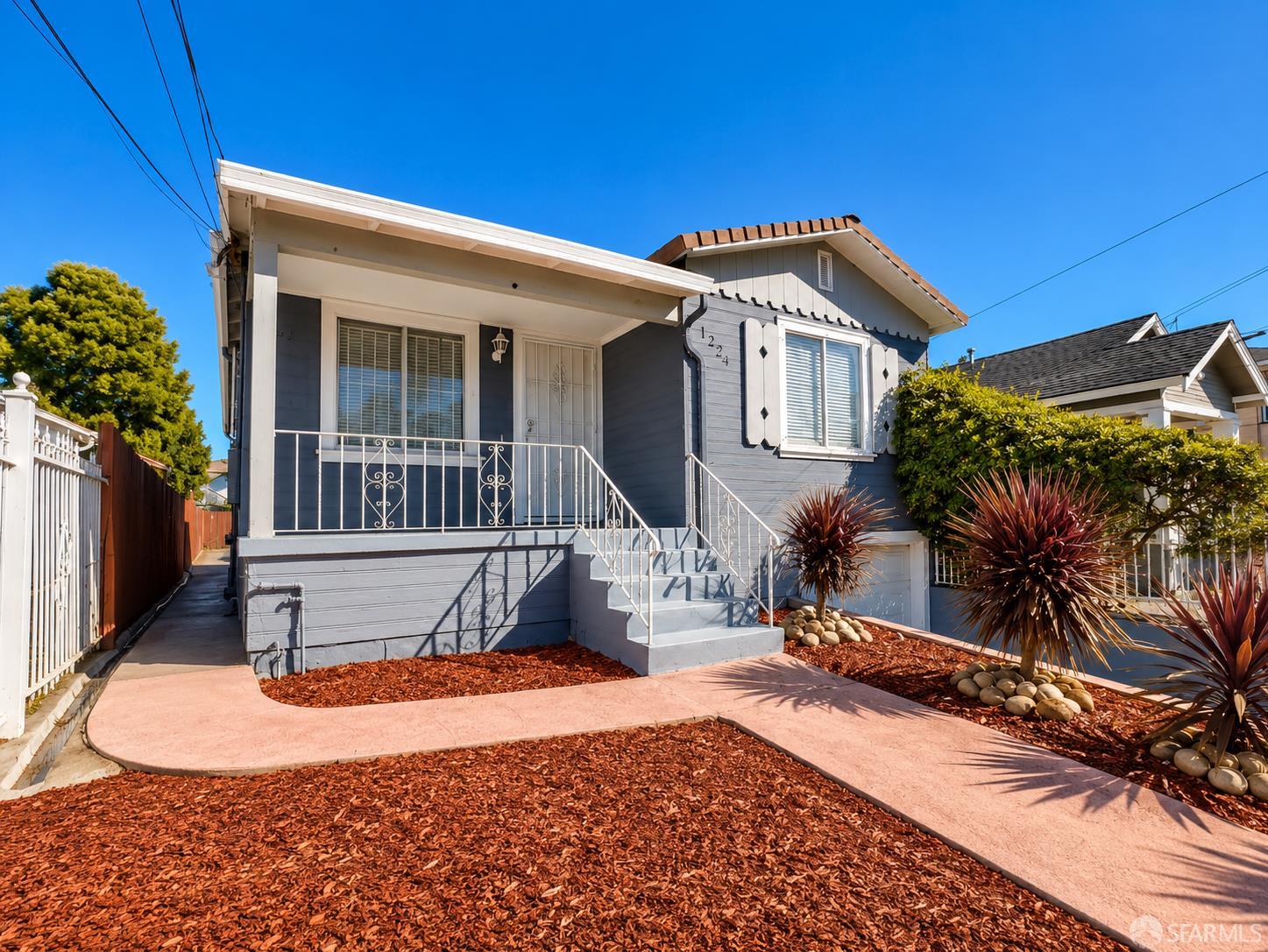
Woodland, Oakland, CA
(2) City data used
Keywords: Foothill-base flats, Affordable East Oakland, Corridor-edge living
Woodland is a flatland neighborhood in deep East Oakland, set in the grid in the stretch below the foothills near the Castlemont area around 73rd and MacArthur. The housing is the East Oakland standard, 1920s cottages and post-war bungalows on narrow, mostly fenced lots, with light tree cover and the block-by-block alternation of well-kept homes and properties carrying deferred maintenance. ... See Full Page
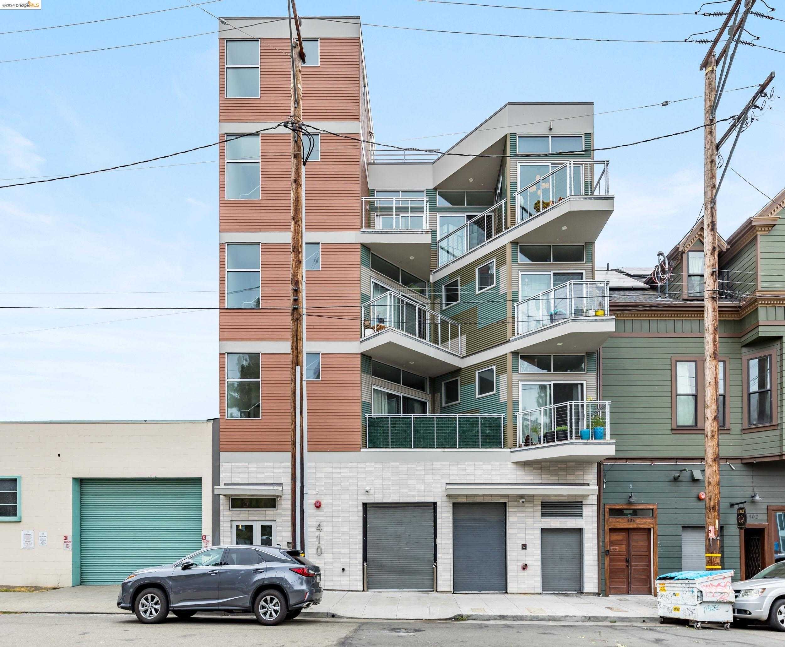
Produce and Waterfront, Oakland, CA
(2) City data used
Keywords: Waterfront promenade, Warehouse loft conversions, Ferry-to-SF access
Occupying the band between the Embarcadero rail tracks and the estuary, Produce and Waterfront mixes working port infrastructure with a steadily growing live-work scene. The northern blocks along 2nd and 3rd are still ruled by the wholesale produce market, where pre-dawn forklifts dart between concrete sheds. Move south toward Jack London Square and the vibe flips to marinas, glassy lofts carved from brick warehouses, and the wooden pier that hosts ferry commuters and weekend strollers. Rail spurs, loading docks, and the clang of containers stay part of the soundtrack, so curb appeal swings from postcard sunsets to utilitarian loading ramps within a block. ... See Full Page
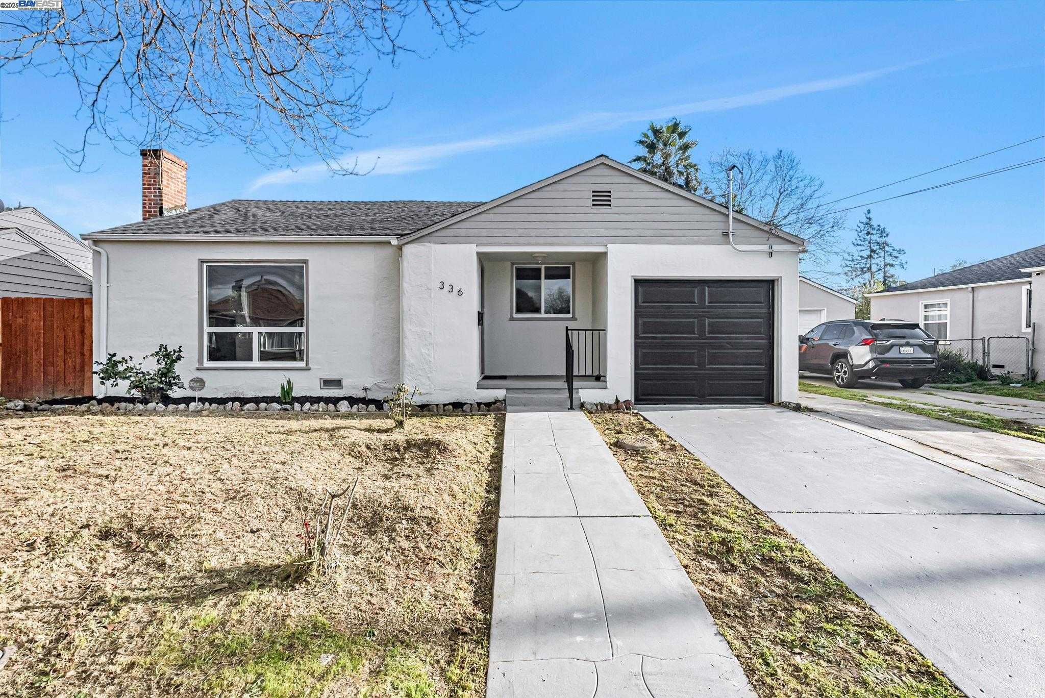
Sobrante Park, Oakland, CA
(2) City data used
Keywords: Post-war ranch grid, Freeway-edge location, Community-run park
Sobrante Park sits in Oakland's far southeast corner, a flat post-war tract partly cut off from the rest of the city by rail lines and San Leandro Creek, which gives it a distinct, almost island-like feel. Straight residential blocks like 105th and 107th are lined with single-story 1950s ranch homes, many behind low wrought-iron fences and drought-tolerant front yards. The western edge backs onto the freeway and light-industrial lots, so traffic hum and truck activity are part of the daily backdrop. ... See Full Page
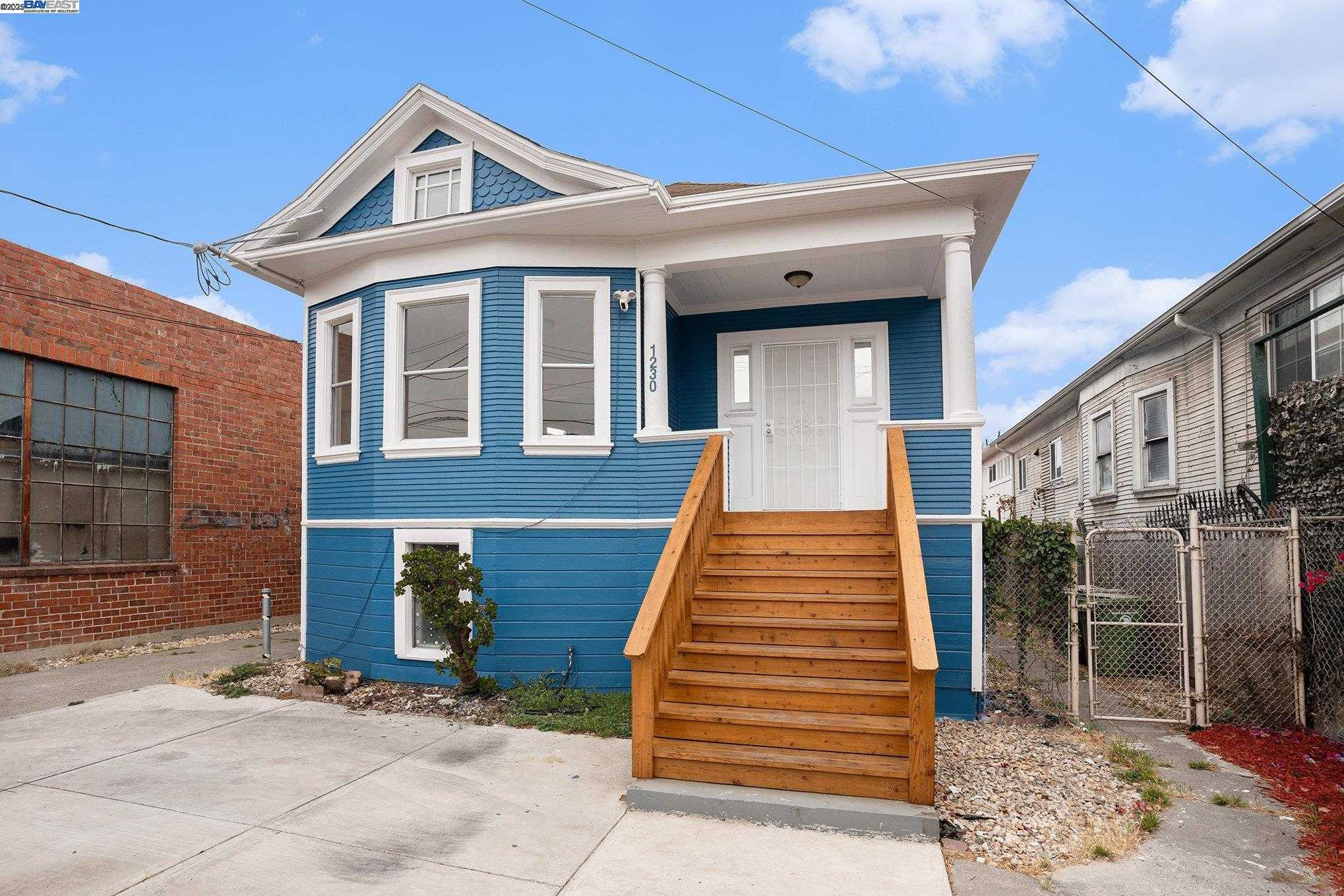
Fruitvale Station, Oakland, CA
(2) City data used
Keywords: BART transit village, International Boulevard corridor, Walkable services hub
Fruitvale Station is the transit-anchored heart of the Fruitvale district, organized around the BART station and the Fruitvale Village that opened in 2004 just north of it. That mixed-use development, driven by the community's Unity Council after a fight over a parking garage in the 1990s, packs a library branch, a health clinic, a charter school, and shops into a pedestrian spine that links the station directly to the International Boulevard commercial strip. It is one of the most-cited transit-village models in the Bay Area. ... See Full Page
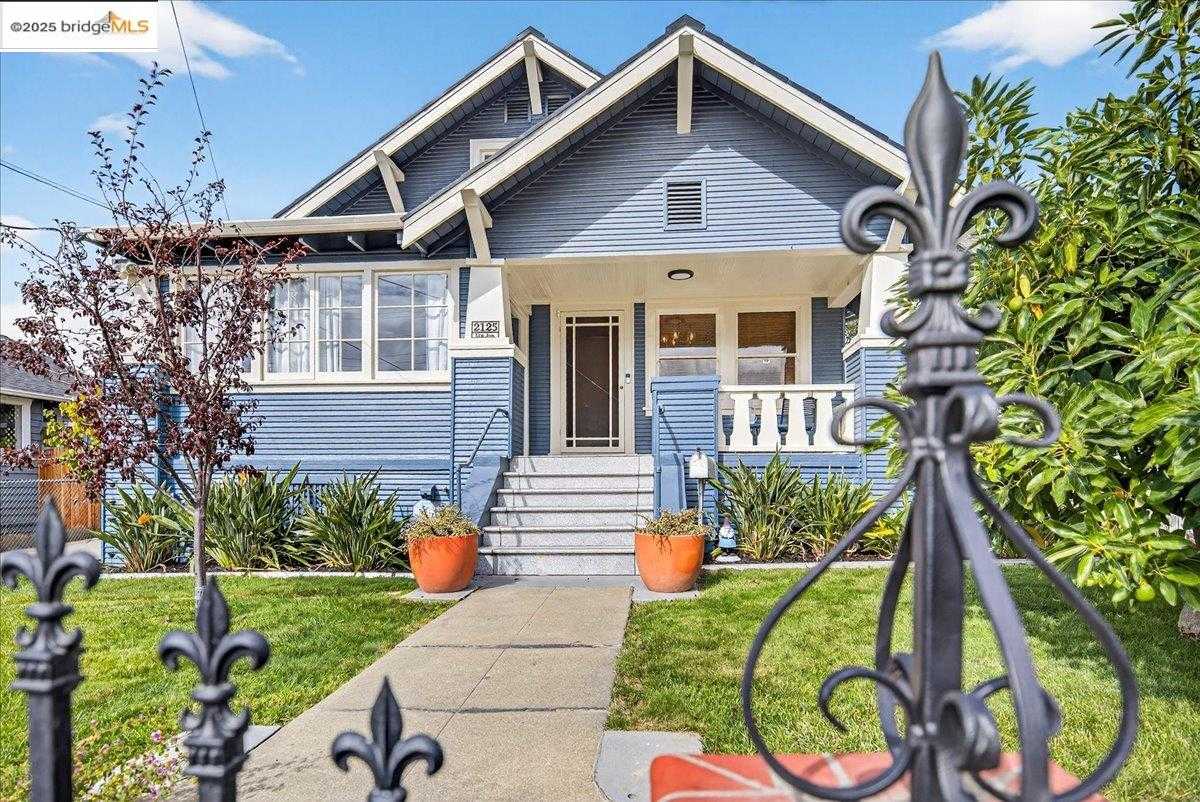
Fremont, Oakland, CA
(2) City data used
Keywords: Fremont High anchor, Historic flatland settlement, Corridor-edge living
Fremont is the East Oakland neighborhood built around Fremont High School, which has stood at Foothill and 47th since 1905 and gives the area its name and its center of gravity. The surrounding streets are a flat grid of early-1900s and post-war homes on small lots, set in the older part of the flats where settlements like Melrose and Fitchburg grew up along the original Oakland-San Leandro Road. Upkeep runs the familiar range from tidy and gardened to deferred. ... See Full Page
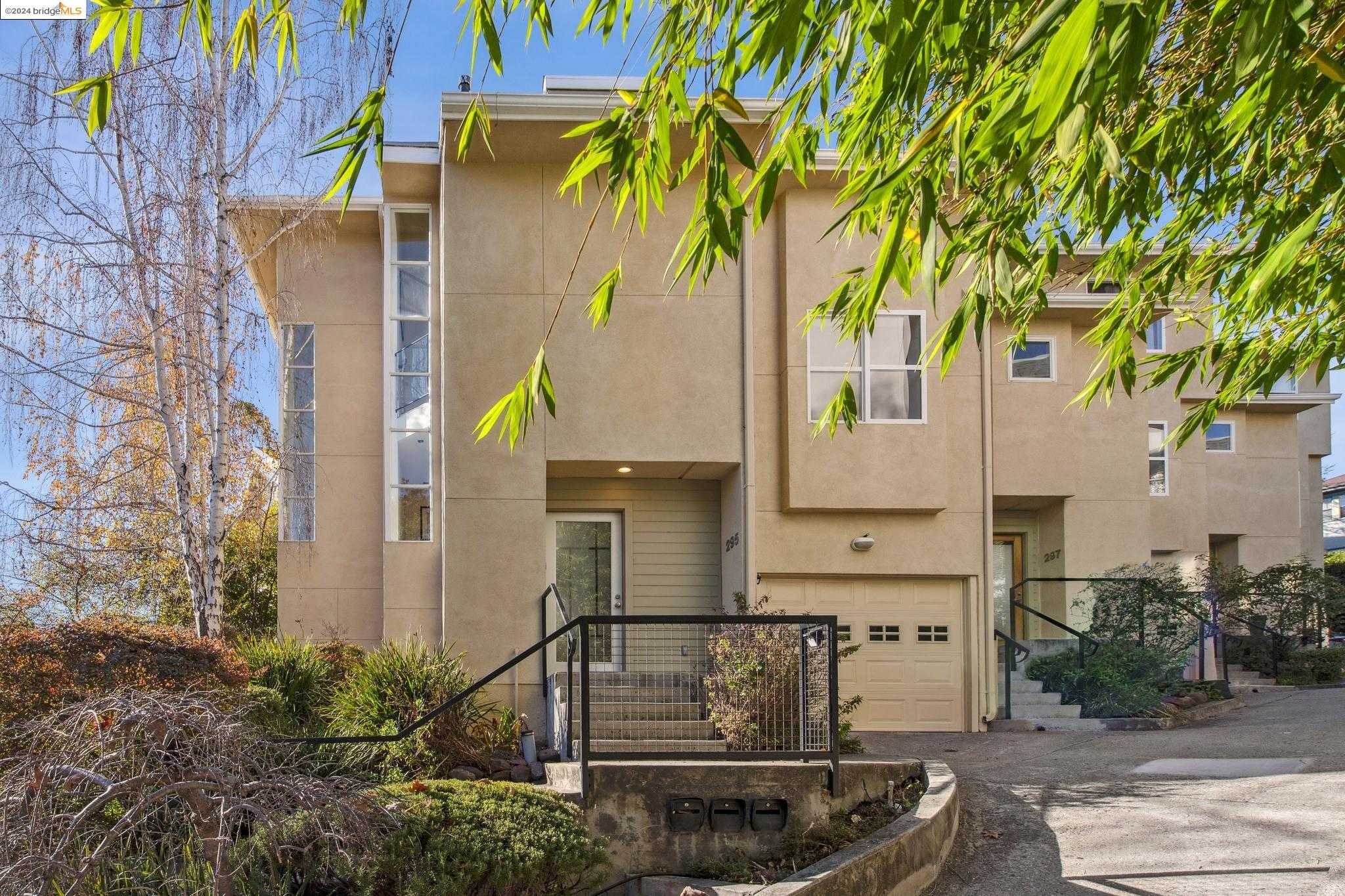
Adams Point, Oakland, CA
(2) City data used
Keywords: Lakefront trail access, High-rise vintage condos, Walk-out Grand Avenue amenities
Adams Point is the dense, walkable shelf on the north shore of Lake Merritt, rising from the lakeside lawns at Bellevue up toward Harrison. The housing tells the story: rows of 1920s apartment hotels and mid-century condos hug the sidewalk, with a few Craftsman holdouts on quiet cul-de-sacs like Jayne and Lee. Front yards are rare, but upper floors trade them for wide water or downtown skyline views, and the whole neighborhood sits within a five-minute walk of the lake. ... See Full Page
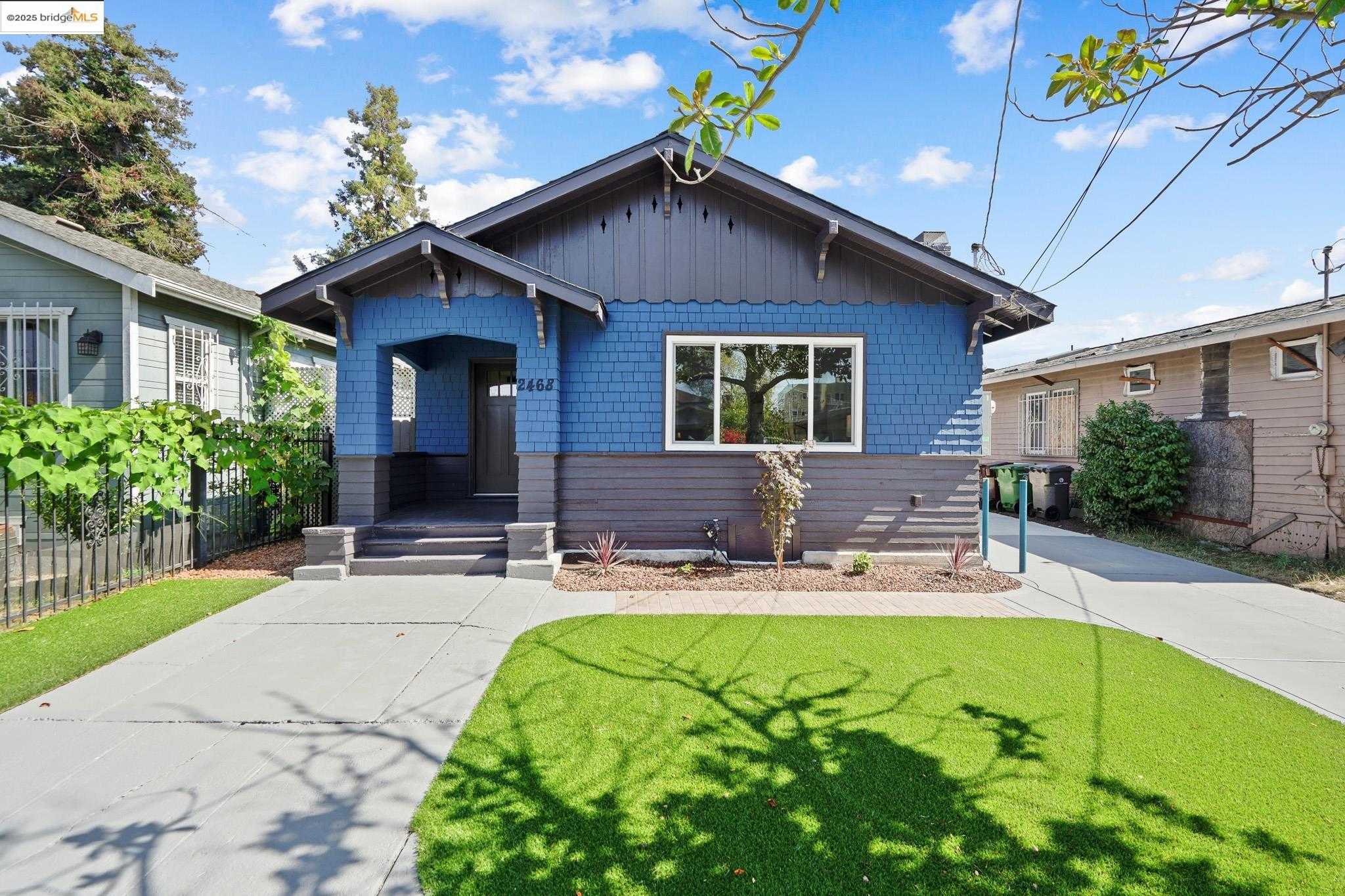
Havenscourt, Oakland, CA
Keywords: Central East Oakland flats, Eastmont Center nearby, Transit-served value
Havenscourt is a flatland neighborhood in the heart of East Oakland, set around Havenscourt Boulevard between Bancroft and the rail corridor. The housing is the area standard, 1920s cottages and post-war bungalows on small, mostly fenced lots, with the block-by-block alternation of well-tended homes and properties carrying deferred maintenance. It sits among a cluster of similar neighborhoods, near Lockwood, Coliseum, and Seminary, that share its grid and its rhythm. ... See Full Page
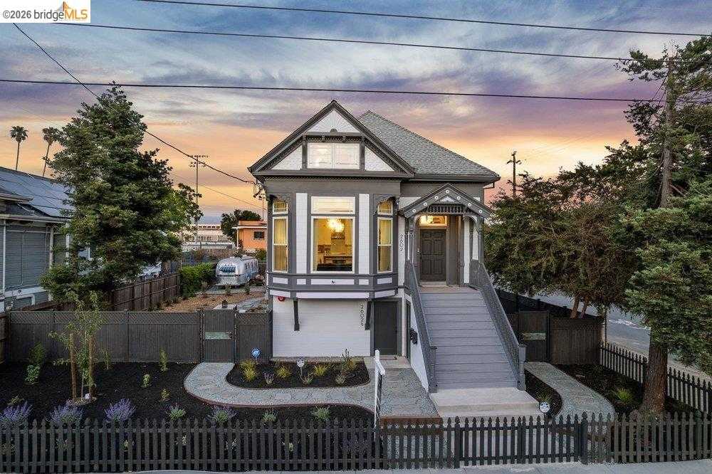
McClymonds, Oakland, CA
(2) City data used
Keywords: McClymonds High legacy, DeFremery Park nearby, Historic West Oakland
McClymonds is a West Oakland neighborhood built around the high school that has stood here since 1915, the only OUSD comprehensive high school west of downtown and a genuine local institution. Its alumni run from Bill Russell to MC Hammer to Ron Dellums, and the school's athletic legacy is woven into the area's identity. The surrounding blocks, around 26th and Myrtle, hold Victorians and early bungalows on a flat grid, much of it shaped, and scarred, by the mid-century urban renewal and freeway projects that remade West Oakland. ... See Full Page
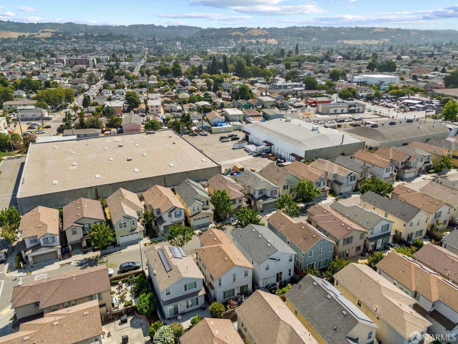
Elmhurst Park, Oakland, CA
(2) City data used
Keywords: Affordable bungalow blocks, Industrial-residential mix, International Boulevard transit
Elmhurst Park occupies a long, flat strip between the Union Pacific tracks on San Leandro Street and busy International Boulevard. Interior lanes like Ellington, Clement, and Dunbar hold 1920s-to-40s cottages and modest post-war ranches behind low chain-link or wrought-iron fences. West of Hawley, the residential blocks give way to small warehouses, trucking yards, and the Habitat for Humanity ReStore, so the feel shifts quickly from quiet porches to forklift beeps and diesel. ... See Full Page
Durant Manor, Oakland, CA
(2) City data used
Keywords: FoodMaxx marketplace, Grid of ranch homes, Limited park space
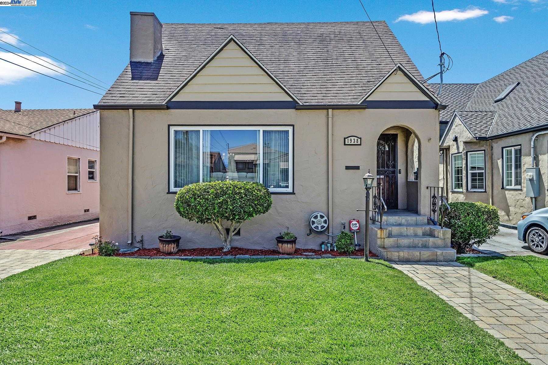
Durant Manor is a tidy rectangular grid tucked between Broadmoor Boulevard and 104th Avenue in deep East Oakland. One-story 1940s and 50s ranches and a few earlier bungalows line narrow lots, most behind low chain-link or wrought-iron fences. Yards are compact, sidewalks run continuous, and mature street trees are sparse, so the afternoon sun hits the pavement hard. Upkeep ranges from fresh paint and drought gardens to facades due for a refresh. ... See Full Page
Jingletown, Oakland, CA
(2) City data used
Keywords: Waterfront Bay Trail, Artist warehouse lofts, Industrial-arts vibe
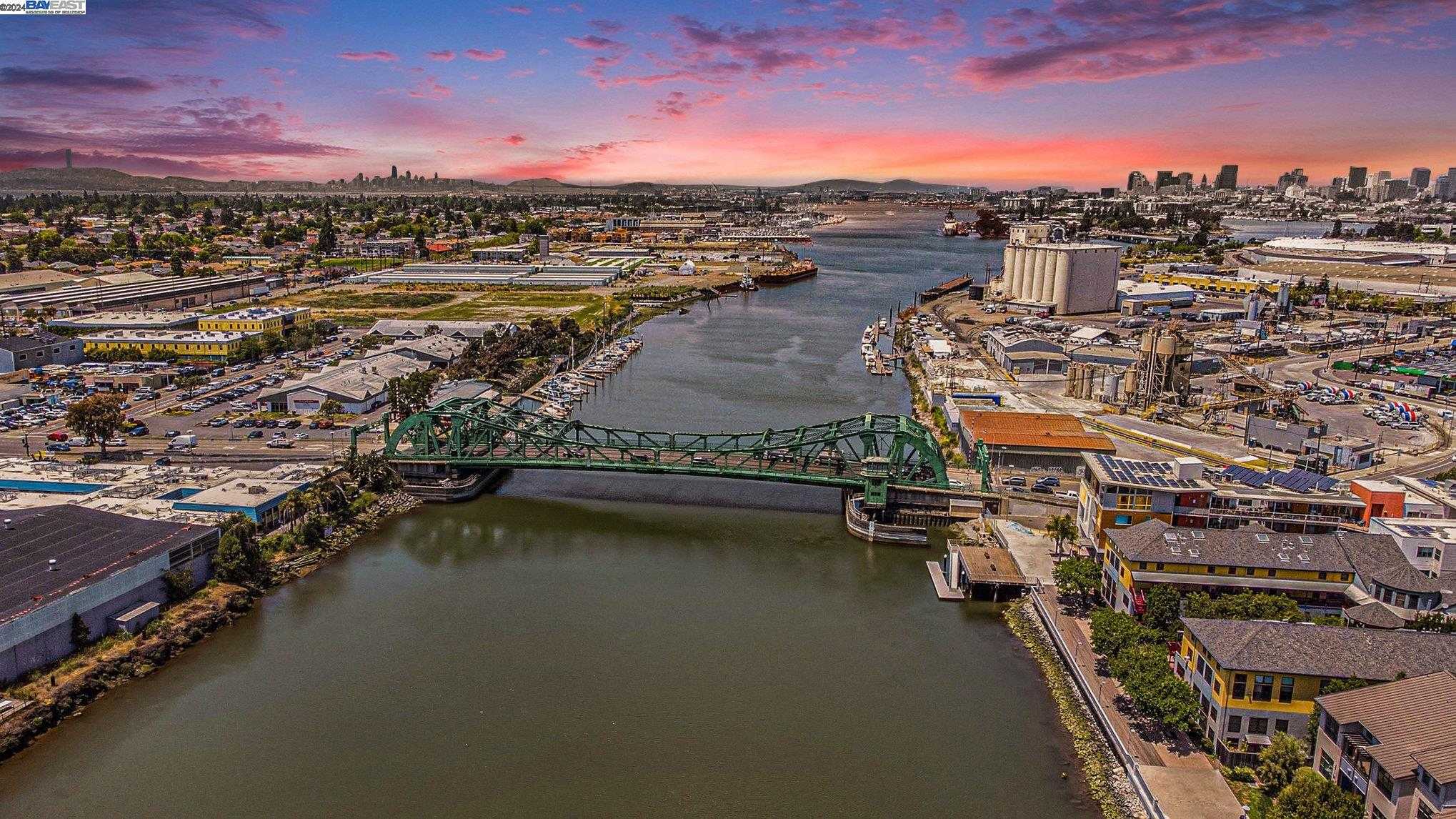
Jingletown is a narrow slice between I-880 and the Oakland-Alameda Estuary, a mix of converted warehouses, early-1900s cottages, and newer live-work lofts. The interior streets, Kennedy, Derby, and Ford, run under tall palms, while Embarcadero curves along the waterfront past working boatyards and artist studios. Older Victorians sit cheek by jowl with brightly painted murals, and a handful of mid-rise condos now overlook the tidal canal. ... See Full Page
Las Palmas, Oakland, CA
(2) City data used
Keywords: Foothill Square retail, Starter-era ranches, Freeway convenience
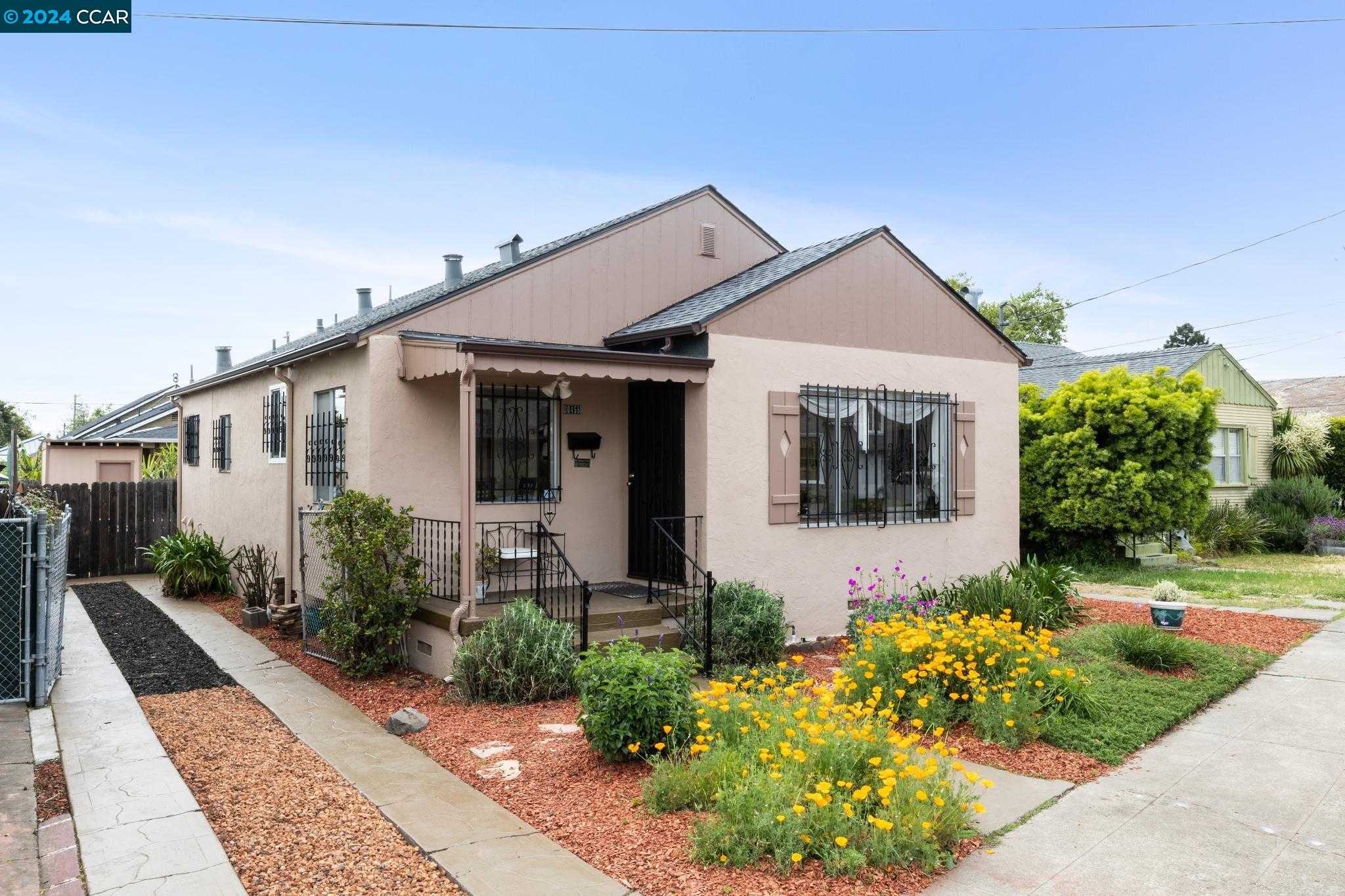
Las Palmas is a slim, wedge-shaped pocket running from 98th Avenue down to MacArthur, bordered by busy 106th through 109th. The housing is almost entirely 1940s ranches and a handful of low apartment courts set close to the street. Yards are small, many fenced in wrought iron, and tree cover is limited, so summer afternoons feel exposed. Motel facades and auto-repair lots line the northern edge on 98th, while the southern tip narrows toward the freeway ramps. ... See Full Page
Meadow Brook, Oakland, CA
(2) City data used
Keywords: Foothill-transition pocket, Near Dimond District, Sausal Creek proximity
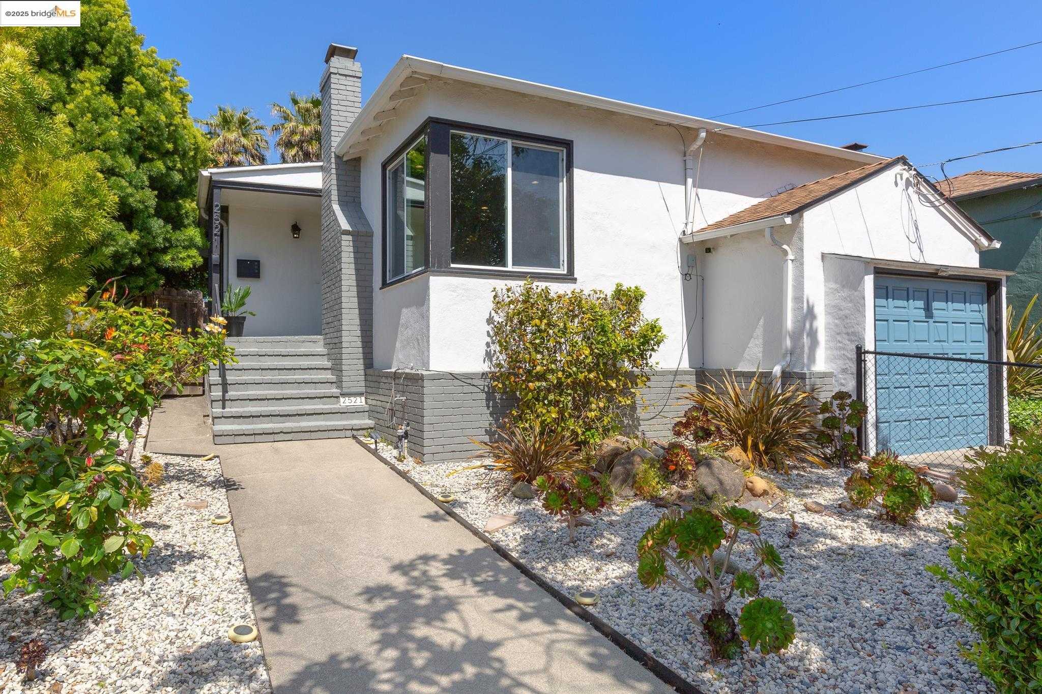
Meadow Brook is a small residential pocket in the foothill transition above the Fruitvale and Dimond districts, set on the gentle rise where the flatland grid begins to give way to curving, leafy streets near the Sausal Creek corridor. The housing is a mix of early-1900s bungalows and mid-century homes on modest lots, with mature street trees and a quieter, more sheltered feel than the busier flats below. ... See Full Page
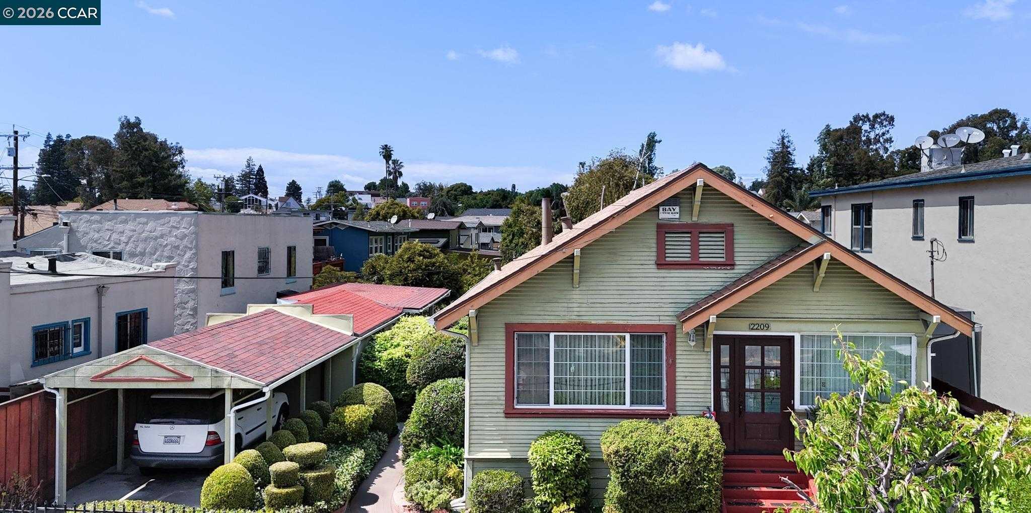
Peralta Hacienda, Oakland, CA
(2) City data used
Keywords: Peralta Hacienda park, 1870 landmark house, Central Fruitvale grid
Peralta Hacienda is a Fruitvale neighborhood built around one of Northern California's most significant historic sites: the six-acre Peralta Hacienda Historical Park on 34th Avenue, where the 1870 Peralta House anchors the remnant of the 44,000-acre Rancho San Antonio land grant. The park brings Spanish, Mexican, and early-American California to life through the Peralta family's story and that of the Ohlone before them, and the house is a city, state, and national landmark. The surrounding streets are a flat grid of early-1900s and post-war homes on small lots. ... See Full Page
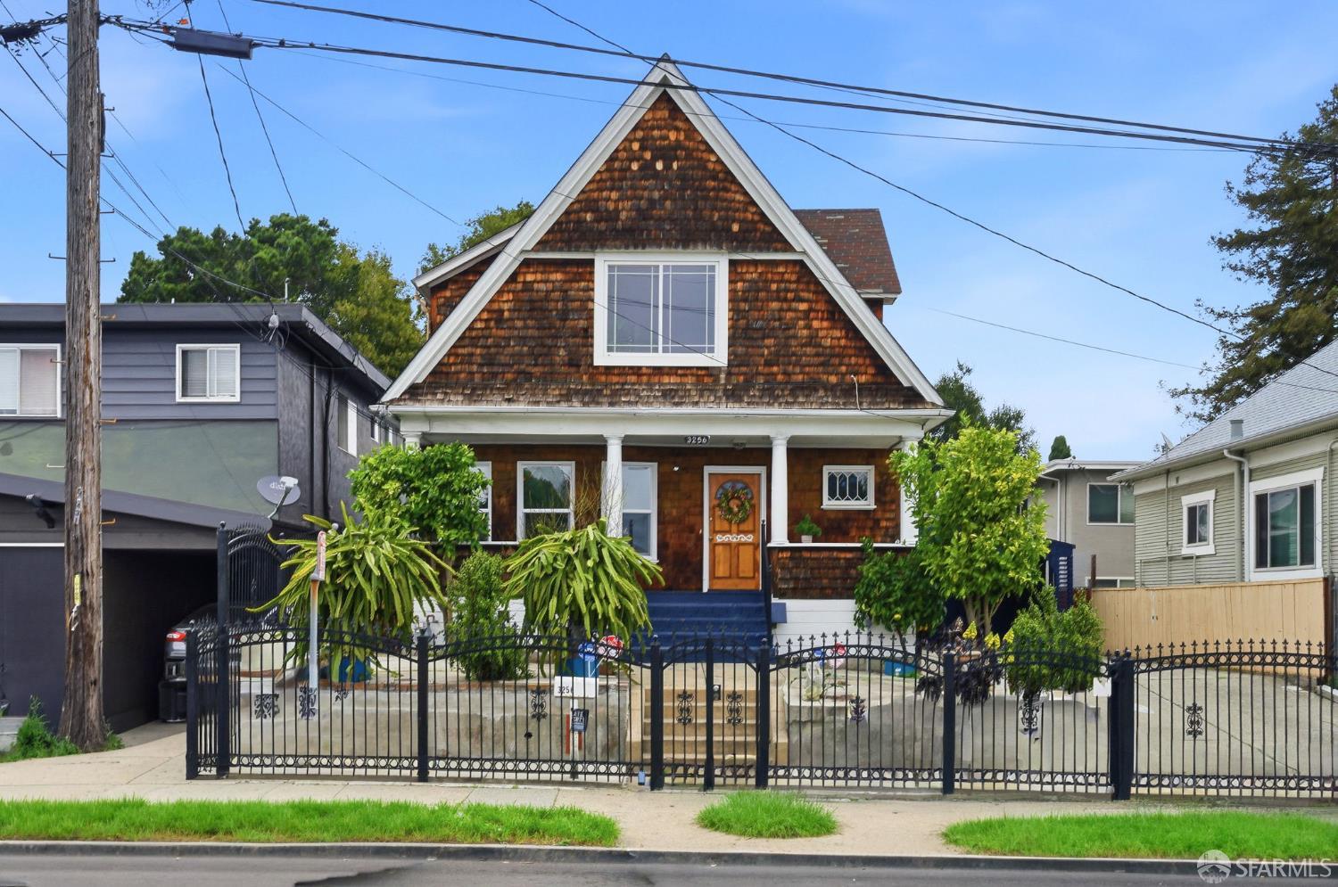
Patten, Oakland, CA
(2) City data used
Keywords: Multicultural dining edges, Patten University anchor, Fruitvale-Dimond between
Patten is a flat residential pocket set between the Fruitvale and Dimond districts, named for Patten University, the small religious college that has been an Oakland fixture since the 1940s. The housing is a mix of early-1900s bungalows and cottages on modest lots, with the block-by-block range of upkeep typical of the Fruitvale flats, set in the grid between Fruitvale Avenue and the lower end of Foothill. ... See Full Page
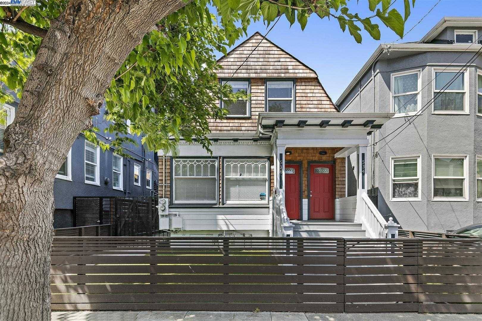
Northgate, Oakland, CA
(2) City data used
Keywords: KONO street murals, Walk-to-BART nightlife, Warehouse-loft mix
Squeezed between I-980 and Broadway, Northgate is a tight, flat rectangle of low-rise brick warehouses, mid-century walk-ups, and the occasional converted loft. Streets like 24th and 26th run long and straight, dotted with curbside murals that splash color onto otherwise utilitarian facades. West Grand and the freeway ramps form noisy borders, so the interior blocks carry a constant hum of traffic mixed with delivery trucks headed to nearby auto shops. ... See Full Page
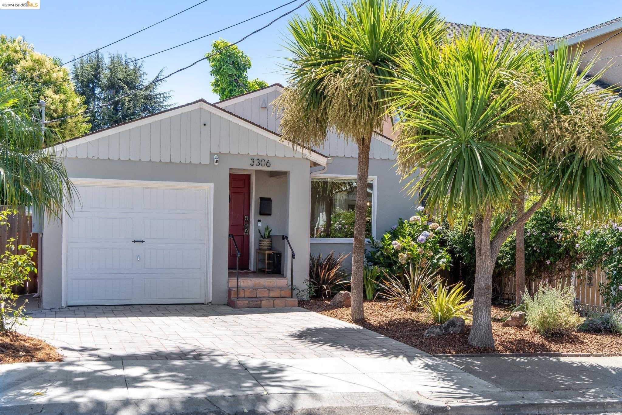
Allendale, Oakland, CA
Keywords: Allendale Rec Center, Starter-friendly bungalows, Freeway-edge convenience
Allendale is a flat, tidy diamond of streets south of MacArthur, built out in the 1920s and filled in after the war. The blocks run perpendicular to Allendale Avenue, the old streetcar spine, and hold a mix of small cottages, post-war bungalows, and a few low apartment courts on narrow, mostly fenced lots. Plane trees shade some stretches; others run broad and sun-exposed, especially where the I-580 sound wall edges the northeast corner. ... See Full Page
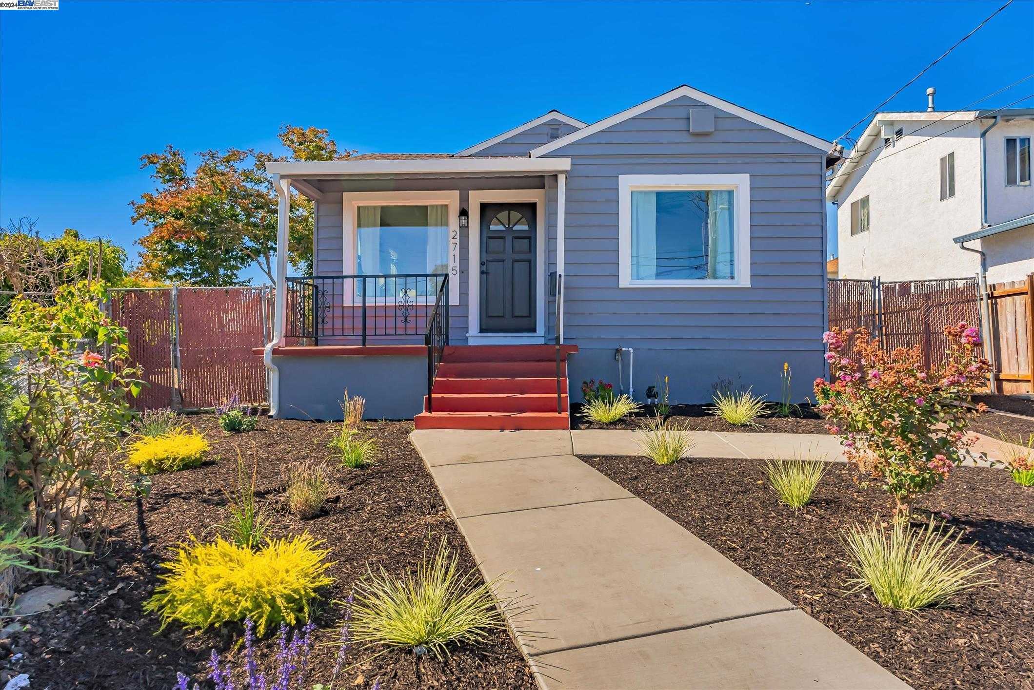
Foothill Square, Oakland, CA
(2) City data used
Keywords: Retail-centric convenience, Freeway and creek edge, Starter-era ranch blocks
Foothill Square sits in a wedge between I-580 and 106th Avenue, anchored by the namesake shopping center that fills most of the footprint. Single-story 1950s ranch homes line Truman, Olive, and Stanley just west of the center, but the daily backdrop is commercial: a FoodMaxx, Planet Fitness, chain restaurants, and a steady stream of delivery trucks circling the lot. The freeway berm and San Leandro Creek mark the eastern edge, so traffic noise and the rush of water are constant company. ... See Full Page
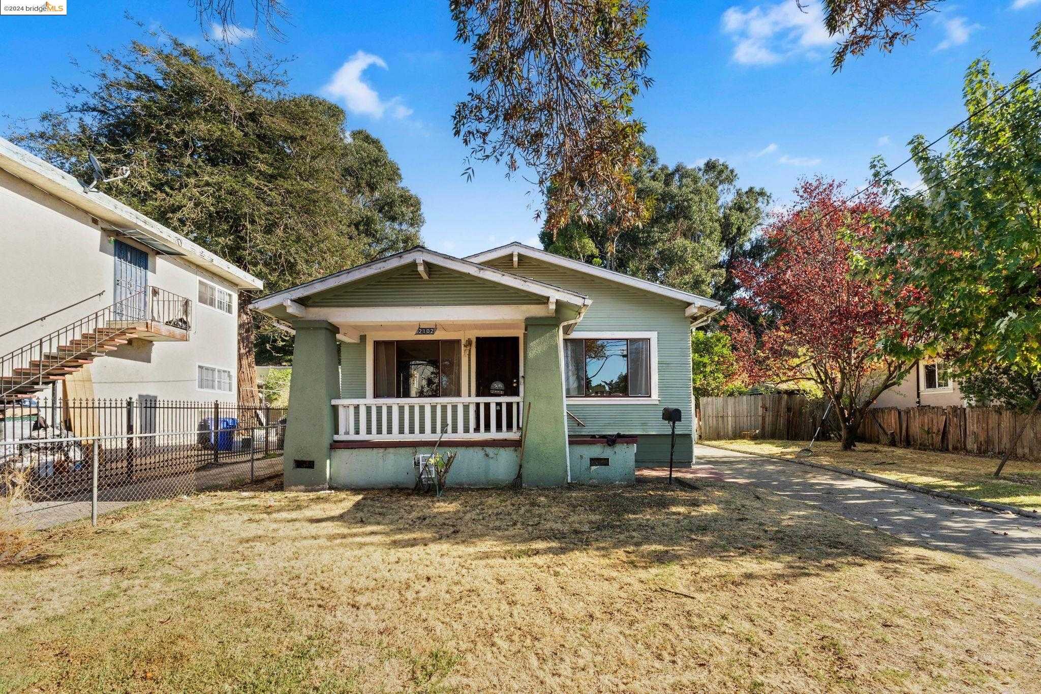
Harrington, Oakland, CA
(2) City data used
Keywords: Close to Peralta Hacienda, Starter-era Craftsman blocks, International Boulevard access
Harrington is a long, narrow rectangle of flat streets between 34th and 42nd Avenues. Most blocks hold 1920s Craftsman cottages, simple post-war bungalows, and a few duplexes on shallow lots with chain-link fences or fresh drought gardens. Tree cover is patchy, so summer sun bounces off the concrete, and curb appeal shifts block to block as well-kept facades sit next to homes waiting on new paint. ... See Full Page
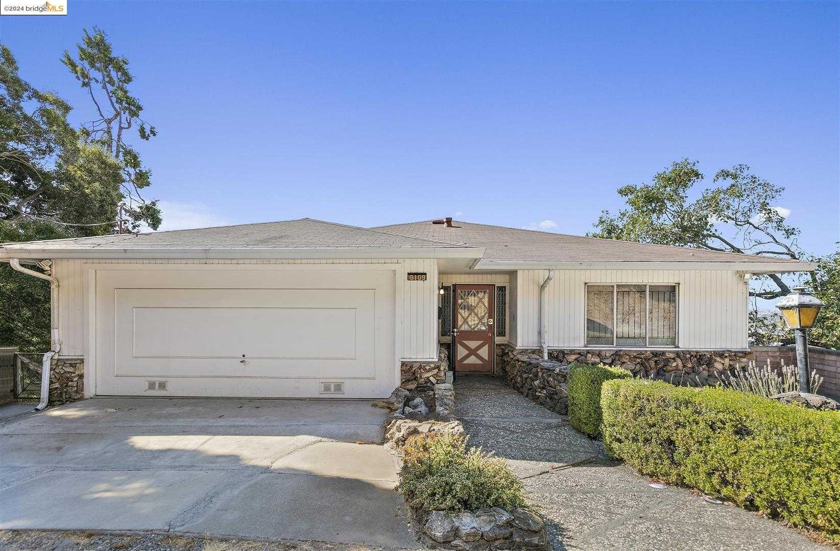
Toler Heights, Oakland, CA
Keywords: Hilly bay-view streets, King Estate trail access, Starter-era ranch homes
Toler Heights climbs the west face of the Golf Links ridge, tapering from 82nd Avenue up to Crest and Fontaine. Curving roads like Hillside and Cherokee trace the slope, so most post-war bungalows and 1960s ranches perch above street level with filtered bay or South Bay reservoir views. Lots are modest, driveways are narrow, and some blocks forgo sidewalks entirely, giving the area a distinctly hillside, almost semi-rural feel despite its city address. ... See Full Page
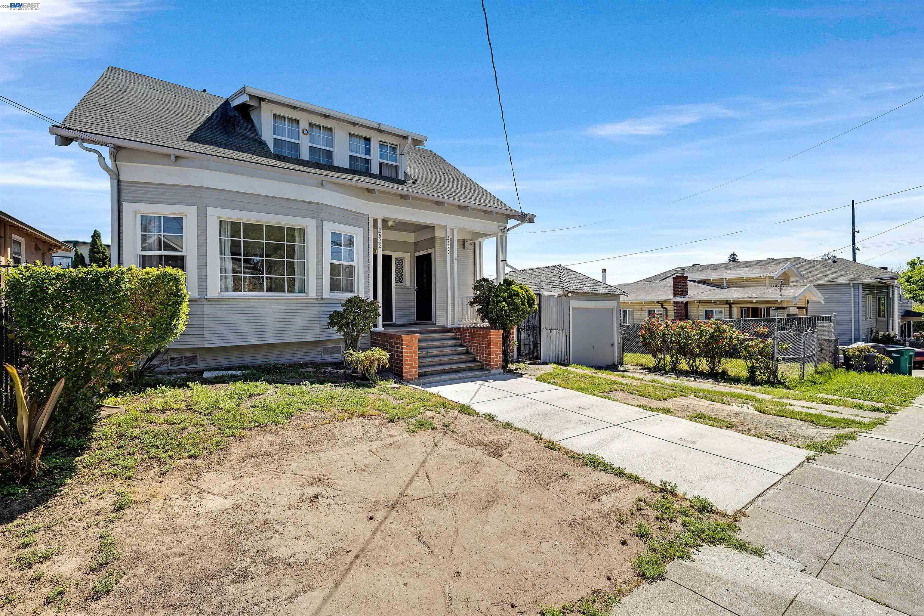
Highland Terrace, Oakland, CA
(2) City data used
Keywords: Quiet hillside pocket, Near Park Boulevard, Lake-access proximity
Highland Terrace is a small residential pocket on the gentle rise near Park Boulevard, in the band of hillside-edge streets between Cleveland Heights and the Highland Park area southeast of Lake Merritt. The housing is a mix of early-1900s bungalows and mid-century homes on modest, often tiered lots, where the slope gives some upper blocks filtered glimpses toward the lake and downtown. The streets stay quiet and residential, set back from the busier corridors. ... See Full Page
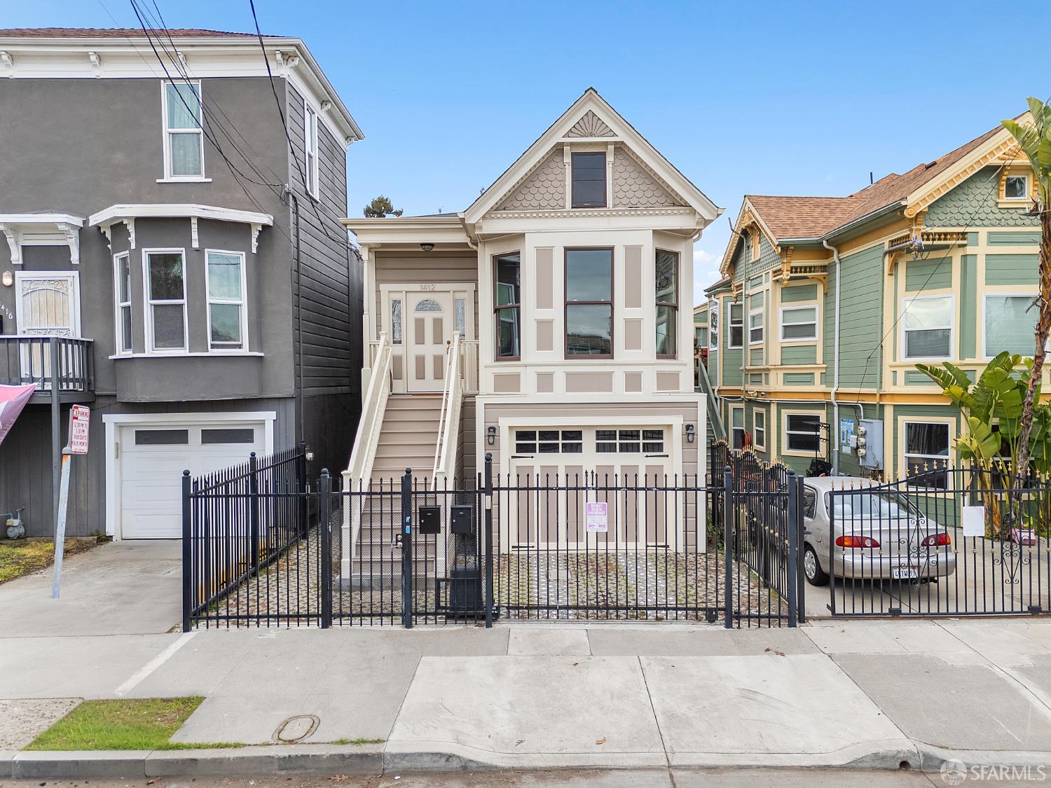
Prescott, Oakland, CA
(2) City data used
Keywords: Lower Bottoms Victorians, 16th Street Station, Central West Oakland
Prescott is a historic West Oakland neighborhood also known as the Lower Bottoms, the old Oakland Point that the Cypress Freeway cut off from the rest of West Oakland in the 1950s. It is a flat grid of Victorian homes, many still standing in varying states of repair and rehabilitation, bounded roughly by Mandela Parkway, 7th Street, and West Grand. The 16th Street Station, the grand 1912 Beaux-Arts railroad terminal designed by Jarvis Hunt, sits within the neighborhood as a haunting, long-shuttered landmark, recently added to the National Register. ... See Full Page
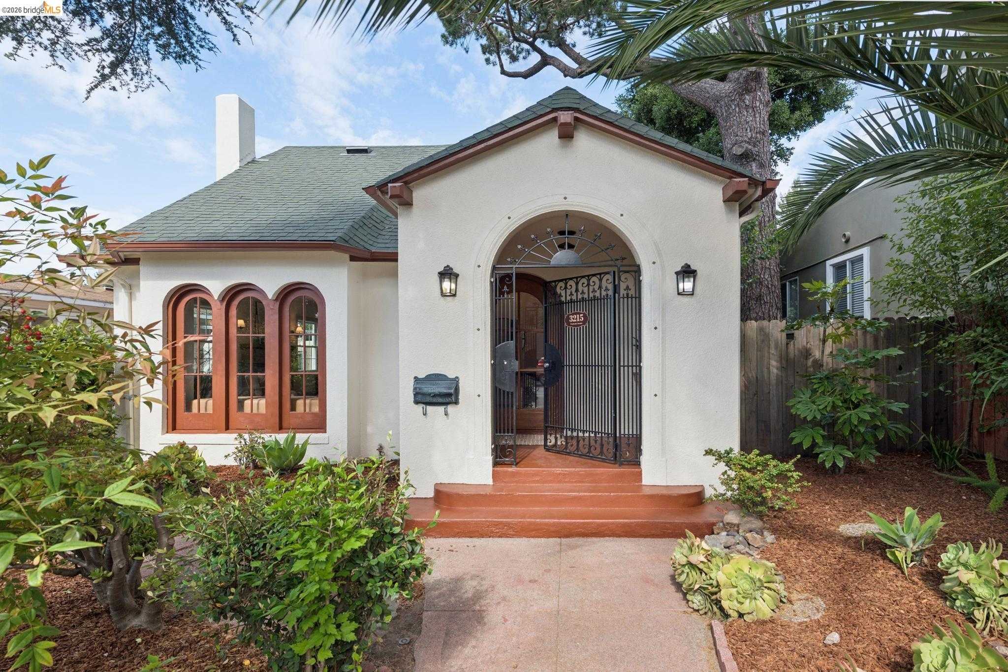
Sausal Creek, Oakland, CA
Keywords: Lower creek corridor, Near Dimond District, Restored-creek parkland
Sausal Creek is a residential pocket in the lower Fruitvale and Dimond area, named for the creek that runs from the Oakland hills down toward the estuary. Here, in the flats below Dimond Canyon, the creek mostly runs in concrete channels and culverts rather than open daylight, but it gives the neighborhood its name and a thread of green. The housing is a mix of early-1900s bungalows and post-war homes on modest lots, with mature street trees and the block-by-block upkeep typical of the area. ... See Full Page
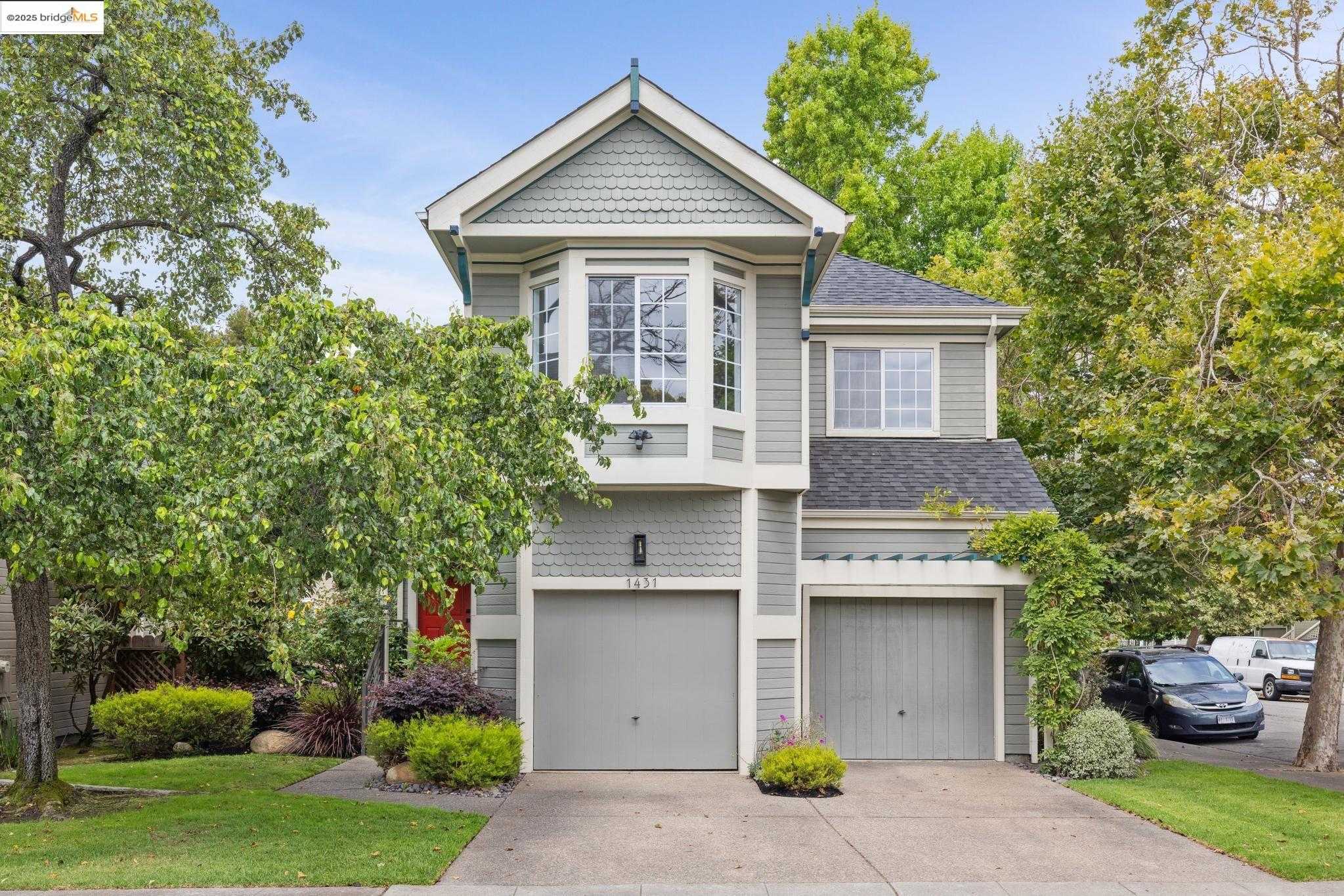
Oak Center, Oakland, CA
(2) City data used
Keywords: Largest preservation district, Restored Victorian blocks, Central West Oakland
Oak Center is a West Oakland neighborhood with an unusual claim: it is the city's largest historic preservation district, and it got there by fighting off the bulldozers. When 1960s urban renewal targeted the area for demolition, residents led by Lillian Q. Love organized the Oak Center Neighborhood Association and pushed the city to fund rehabilitation instead. The result is roughly 500 homes, hundreds of them pre-1925 and a sizable share pre-1890, with well-preserved examples of nearly every Victorian style, Italianate, Stick, Queen Anne, lining the flat blocks. ... See Full Page
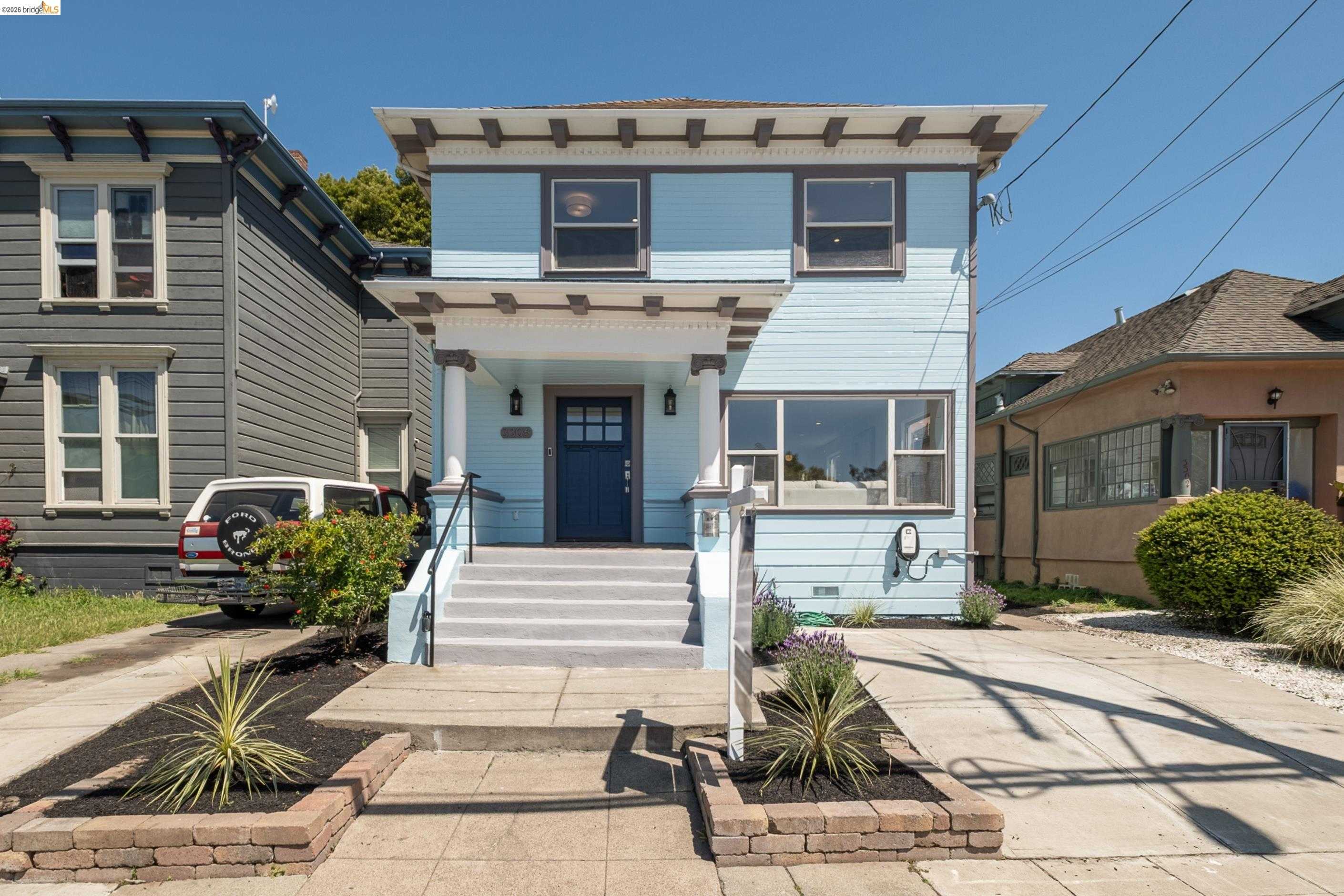
Hoover, Oakland, CA
(2) City data used
Keywords: Historic West Oakland, Walk to 19th St BART, Uptown-adjacent revival
Hoover, often called Hoover-Foster or Ghost Town, is a West Oakland neighborhood west of Telegraph and east of San Pablo, running roughly from 27th to 35th Street southwest of the MacArthur Maze. It takes its names from the old Hoover Junior High and the now-closed Marcus Foster school, and its housing is largely pre-1950, Victorians and early bungalows on flat blocks, much of it scarred by the freeway construction that cut through the area and displaced thousands in the mid-20th century. ... See Full Page
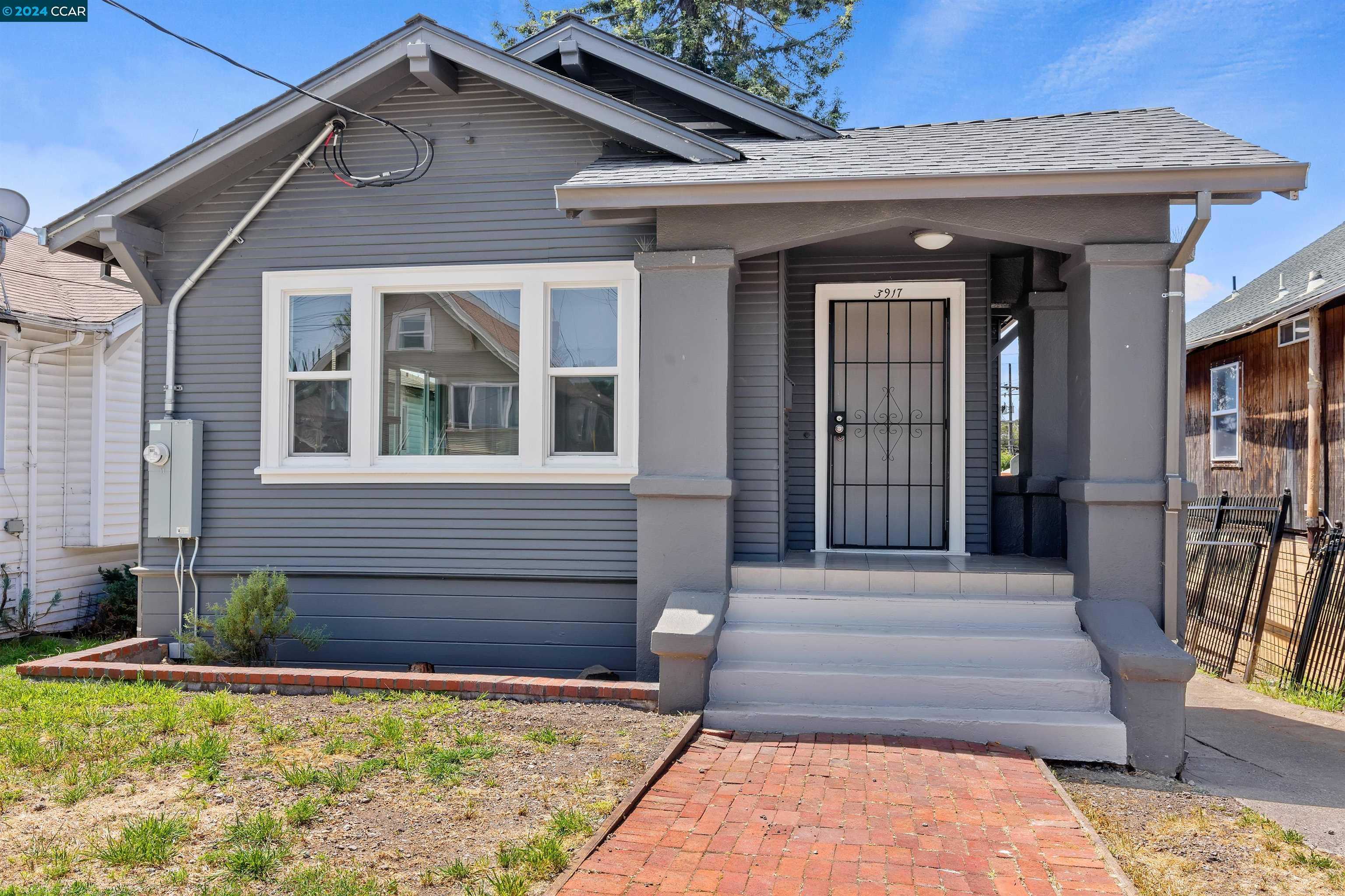
Jefferson, Oakland, CA
(2) City data used
Keywords: Brookdale Park access, Modest Craftsman grid, Walkable taco trucks
Jefferson spreads across a flat, rectangular grid between 38th Avenue and Brookdale, its numbered cross-streets lined with 1920s Craftsman cottages, post-war bungalows, and a few small apartment four-plexes. Front yards are shallow and often fenced, garages face the street, and tree cover is spotty, so summer sun bounces off the concrete and stucco. ... See Full Page
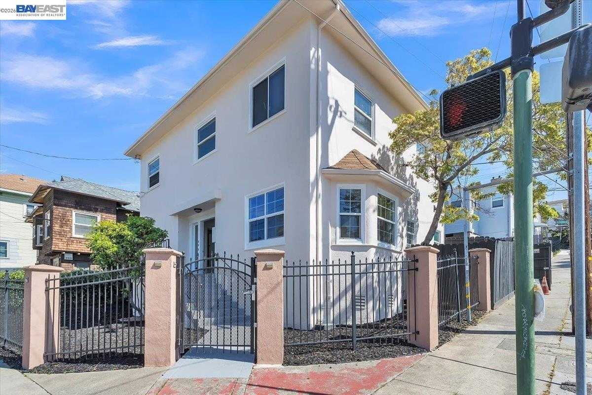
Harrison St. / Oakland Ave., Oakland, CA
(2) City data used
Keywords: Lake-adjacent apartment corridor, Walk to Grand Avenue, Rose Garden proximity
This is the dense apartment corridor that runs north from the Grand Avenue area between Adams Point and the Piedmont border, named for its two spine streets, Harrison and Oakland Avenue. It is one of the most rental-heavy pockets in the city, a wall of 1920s apartment hotels, mid-century courtyard buildings, and newer infill on tight lots, with a handful of older single-family holdouts mixed in. The blocks run flat and walkable, climbing gently toward the leafier streets near Piedmont. ... See Full Page
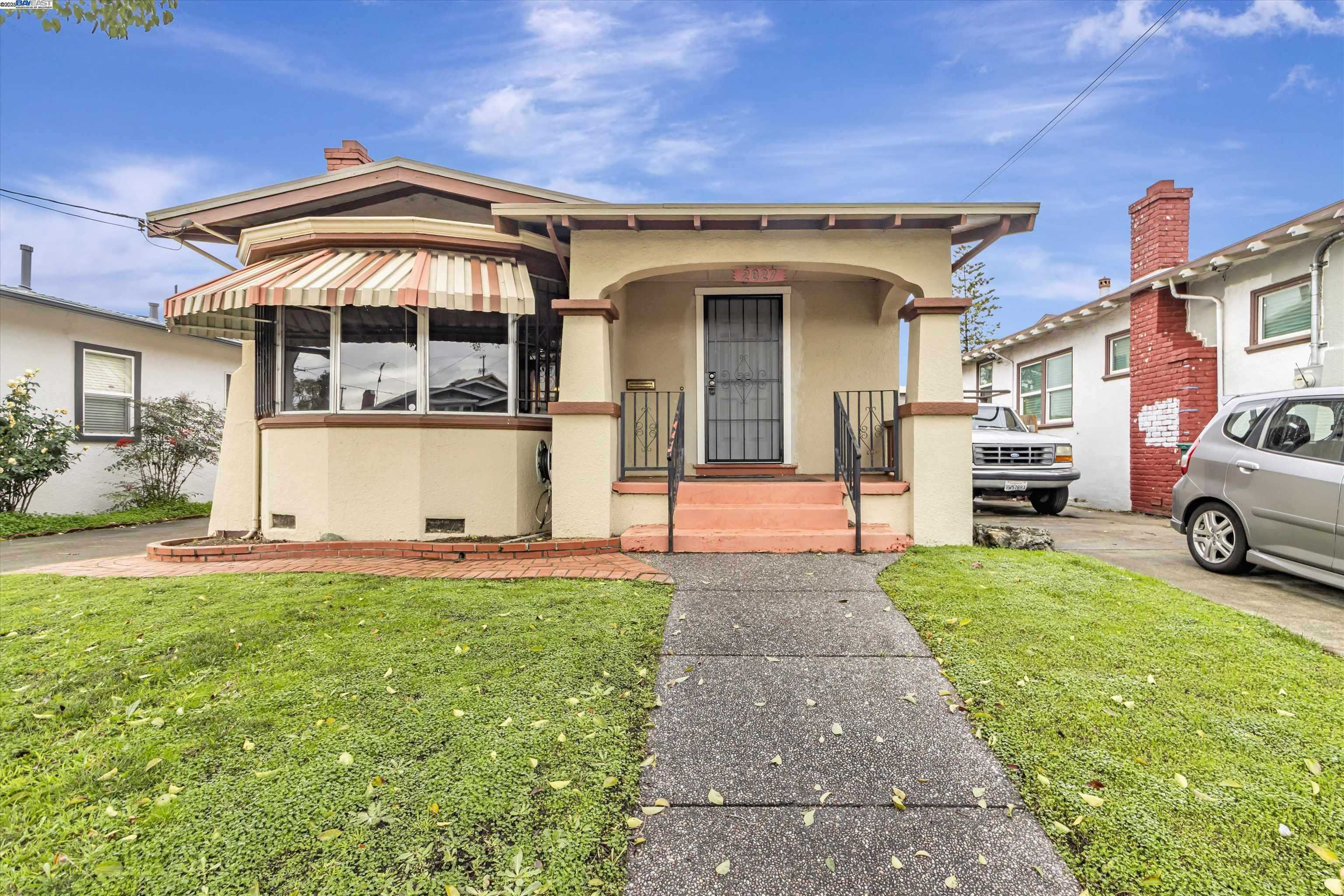
Bartlett, Oakland, CA
(2) City data used
Keywords: Starter-friendly bungalows, Freeway-edge hum, Walkable to Laurel strip
Bartlett sits on a low rise between Peralta Creek and the I-580 sound wall, a compact grid of 1920s cottages and 1950s bungalows along Maple, Arkansas, and Humboldt. Lots are small and mostly fenced, and facades run the range from fresh paint to aging chain-link and cracked driveways. Tipu and liquidambar trees throw scattered shade, but the freeway embankment and wide intersections leave some blocks exposed when the summer heat sets in. ... See Full Page
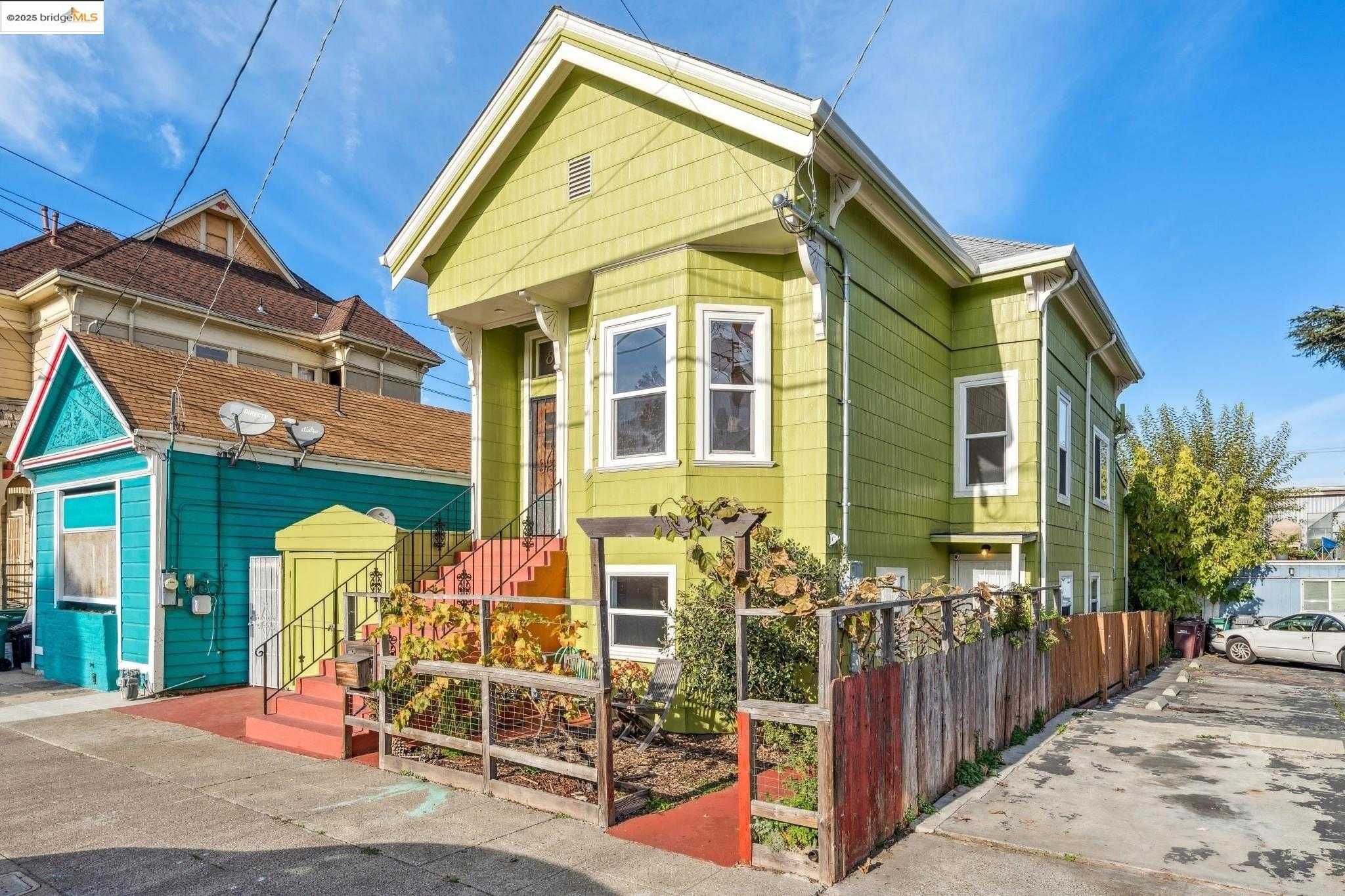
Ralph Bunche, Oakland, CA
(2) City data used
Keywords: School-named West Oakland, Near West Oakland BART, Historic flatland blocks
Ralph Bunche is a small West Oakland neighborhood named for Ralph Bunche High School, which honors the diplomat and political scientist who became the first Black Nobel Peace Prize laureate. It sits adjacent to Oak Center and near McClymonds and Acorn, a flat grid of older homes, some Victorian and early-bungalow stock, on blocks shaped by the same mid-century redevelopment and freeway construction that reworked much of West Oakland. ... See Full Page
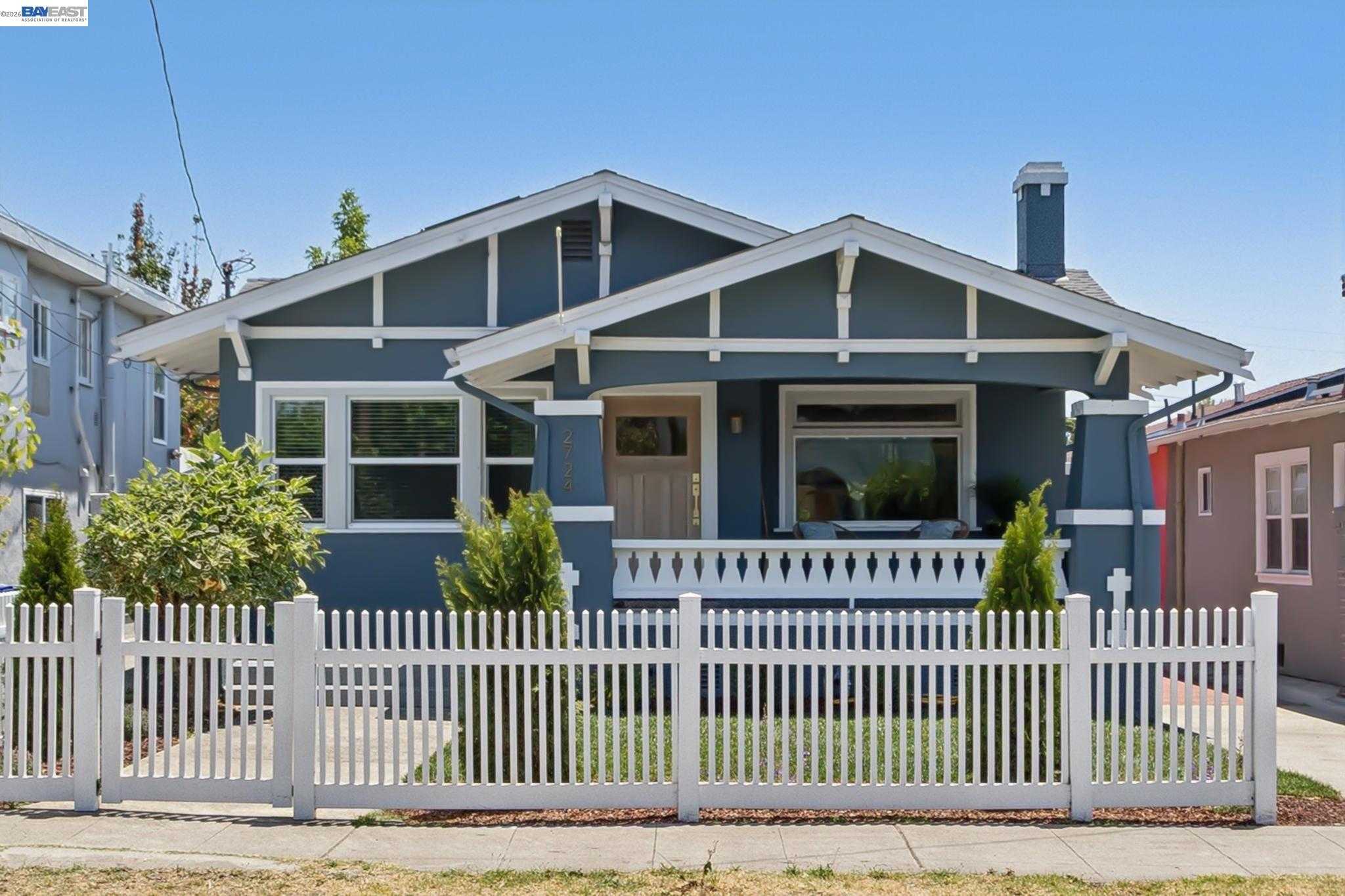
Frick, Oakland, CA
Keywords: Frick school namesake, Eastmont Center adjacency, Between Mills and Foothill
Frick is a small flatland neighborhood between Mills College and Foothill Boulevard, named for the middle school that has stood here since the early 1900s on land donated by Walter Frick. It sits southeast of Maxwell Park and northwest of Arroyo Viejo, a compact grid of 1920s cottages and post-war homes on narrow lots, with the block-by-block mix of fresh paint and deferred upkeep that defines this part of East Oakland. ... See Full Page
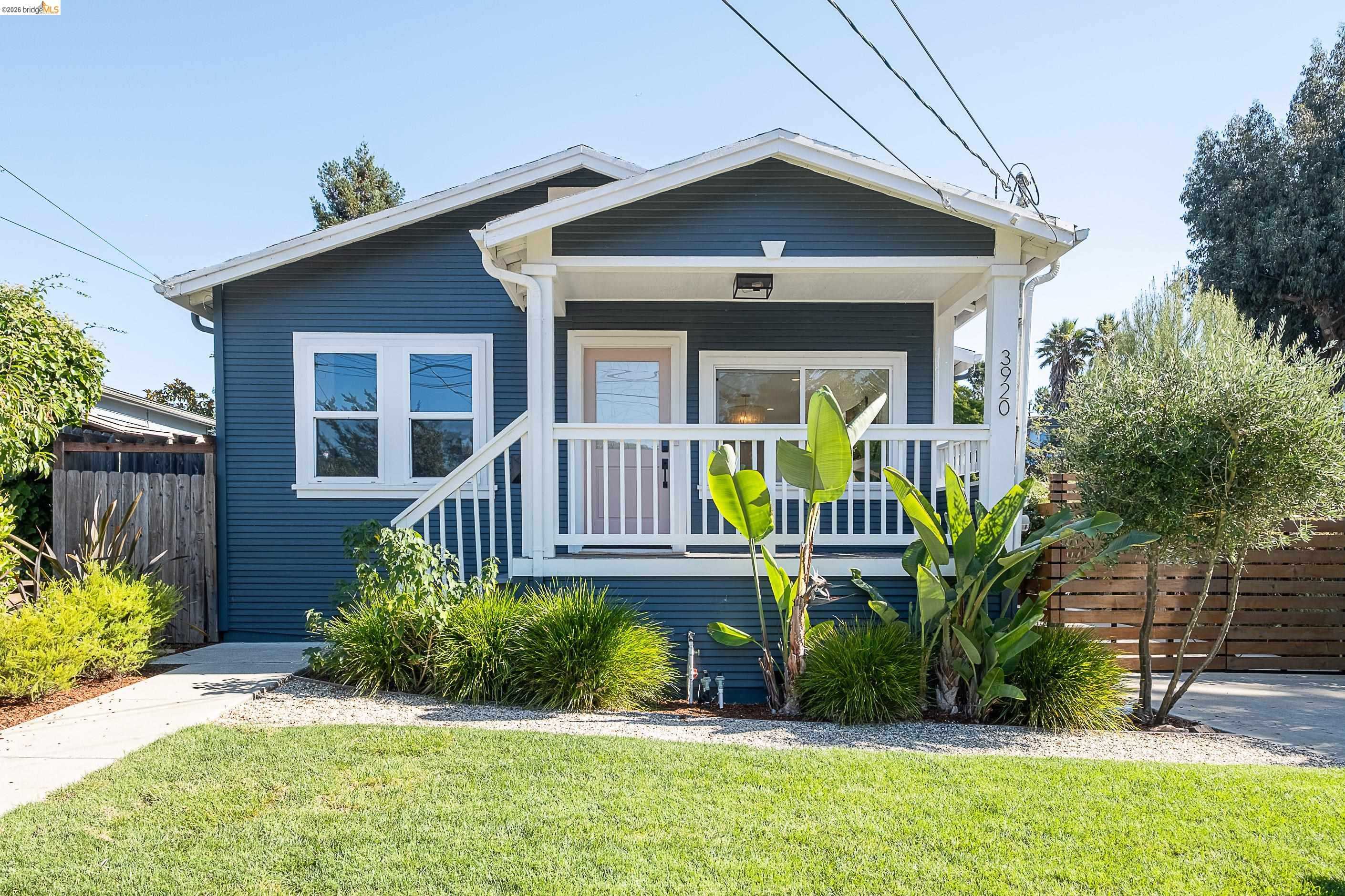
Millsmont, Oakland, CA
Keywords: Hilltop bay views, Wooded foothill streets, View value below the hills
Millsmont climbs the foothills just west and south of Mills College, a hilly neighborhood bounded roughly by Seminary, Edwards, MacArthur, and I-580. Part of it sits high enough to overlook the flats and, on a clear day, the bay, San Francisco's skyline, and the three bridges, which means even modest homes up here can carry outsized views. The streets are wooded and curving, a legacy of the area's origins as a turn-of-the-century weekend getaway sold off in quarter-acre plots. ... See Full Page
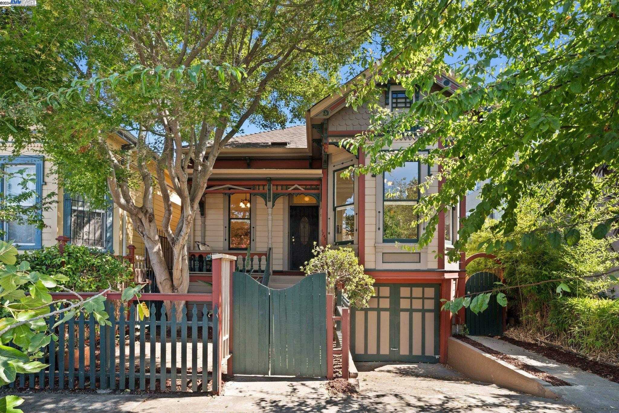
Clinton, Oakland, CA
(2) City data used
Keywords: Lake-adjacent grid, Global eats on International, Vintage cottages and duplexes
Clinton runs on a gentle downhill grid between Lake Merritt and International Boulevard, a compact mix of early-1900s cottages, duplexes, and low-rise apartments. Narrow streets like 8th and 9th Avenue show off brightly painted Victorians next to stucco four-plexes, many framed by jacarandas that go purple in spring. Lots are tight and garages are rare, so parked cars line both sides of nearly every block. ... See Full Page
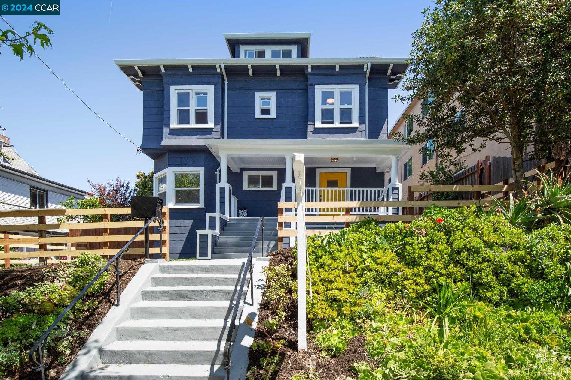
Grand Lake, Oakland, CA
(2) City data used
Keywords: Grand Lake Theatre, Saturday farmers market, Rose Garden & lake trails
Grand Lake curves around the northwestern arm of Lake Merritt, rising from the I-580 off-ramp toward the terraced paths of the Morcom Rose Garden. The residential blocks blend 1910s Craftsman bungalows, classic duplexes, and mid-century apartment buildings tucked onto narrow lots beneath mature sycamores. Views shift fast, one street faces lake water and downtown towers, the next the freeway's sound wall, so curb appeal ranges from postcard to plainly functional. ... See Full Page
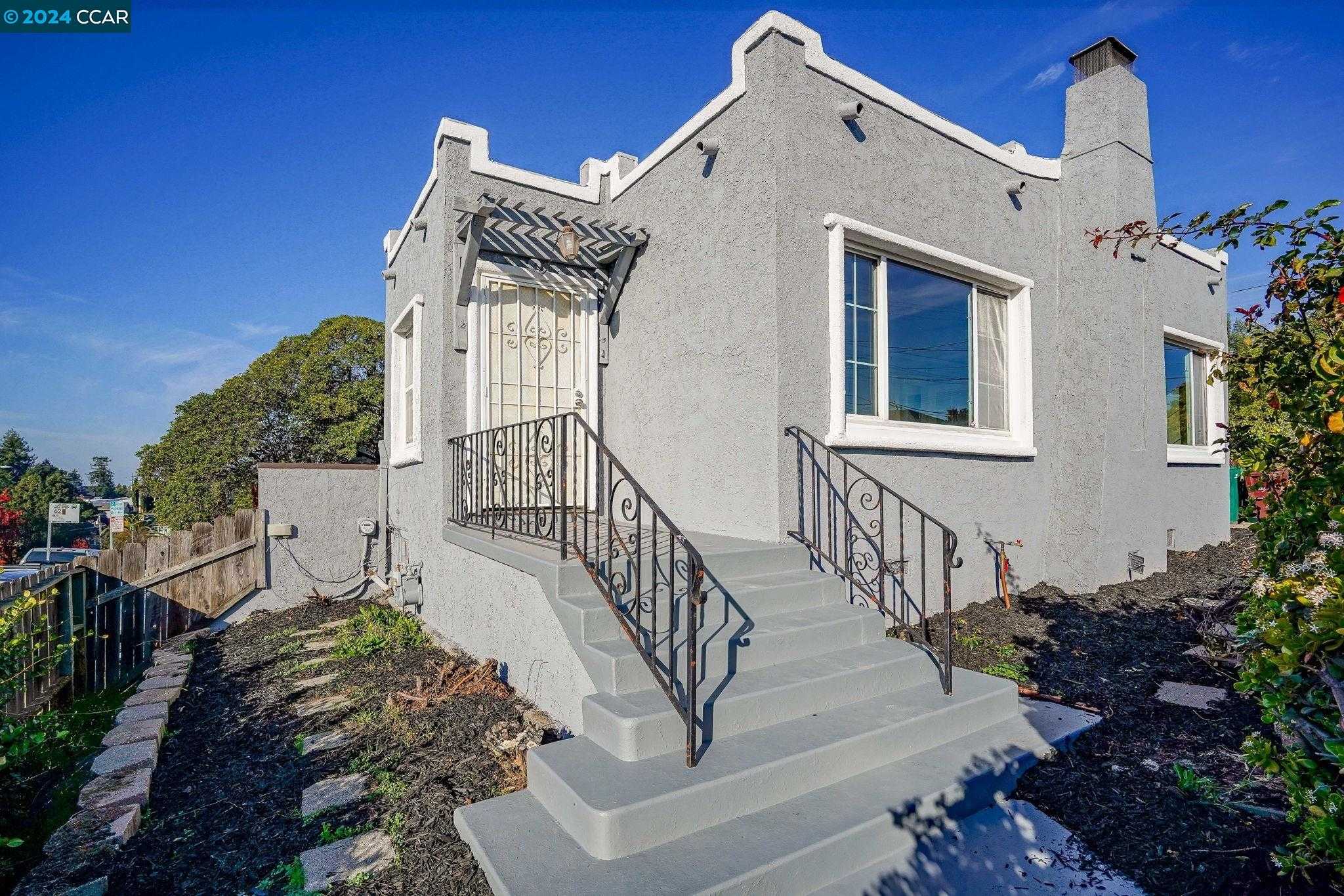
Highland Park, Oakland, CA
(2) City data used
Keywords: Hospital employment hub, Mixed curb appeal blocks, Quick freeway access
Highland Park is a compact pocket south of the I-580 sound wall, wrapping around Alameda County's Highland Hospital campus. Early-1900s cottages and 1920s bungalows sit on narrow lots, many with chain-link fences or drought-tolerant plantings, while the hospital's modern towers dominate the center and MacArthur forms a fast, noisy northern edge. The blocks slope gently downhill, so the views are mostly neighboring rooftops and the freeway overpass. ... See Full Page
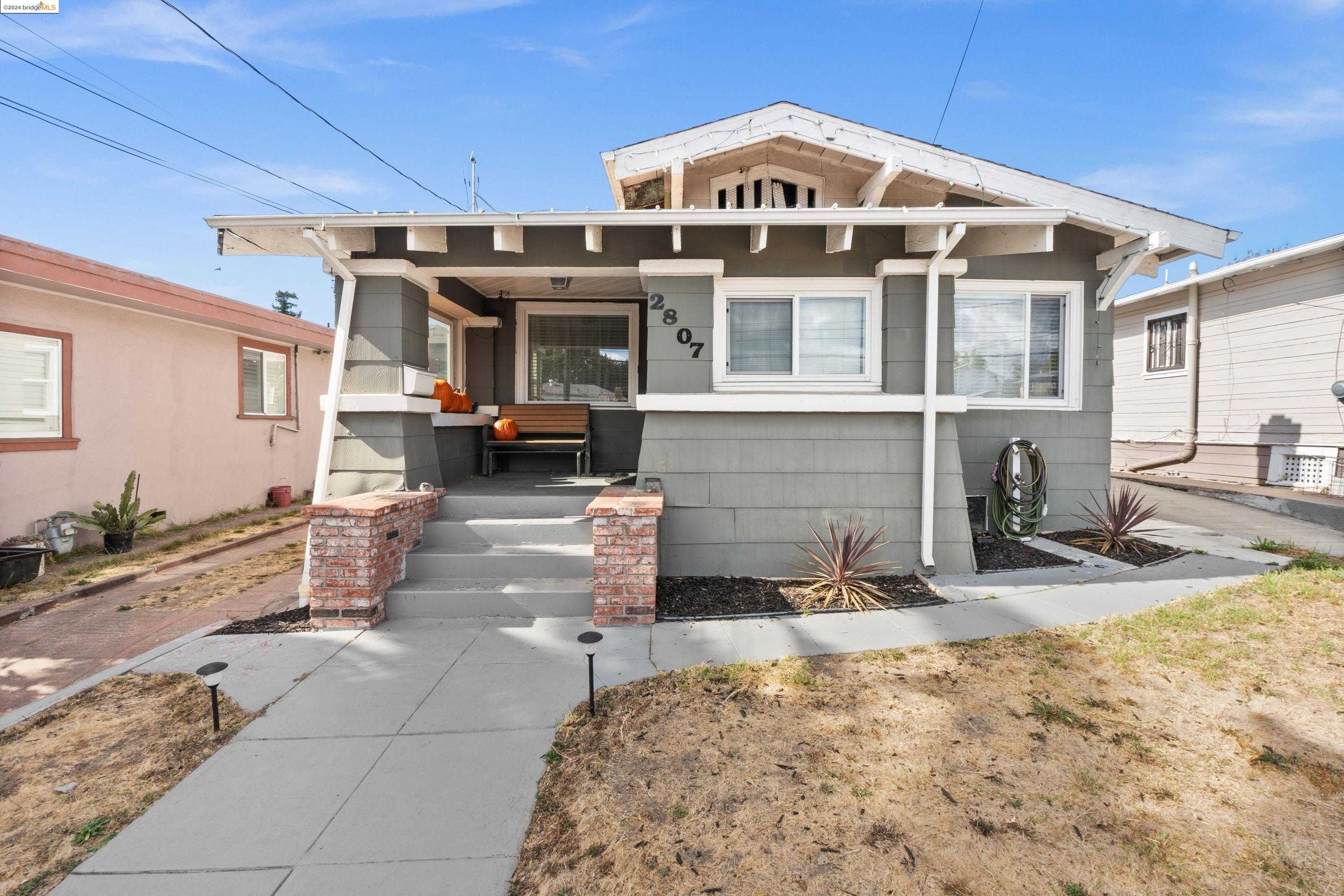
Tuxedo, Oakland, CA
(2) City data used
Keywords: Grid of vintage bungalows, Freeway-edge convenience, Youth-league ballfields
Laid out on a tight east-west grid between MacArthur Boulevard and 14th Avenue, Tuxedo is mostly 1920s bungalows, duplexes, and small apartment four-plexes. Lots are shallow and closely packed, and many facades show a mix of fresh paint alongside chain-link fences or aging stucco. The northern edge hugs the I-580 sound wall, so freeway noise is a constant backdrop, while the eastern border overlooks the Central Reservoir and its baseball diamond. ... See Full Page
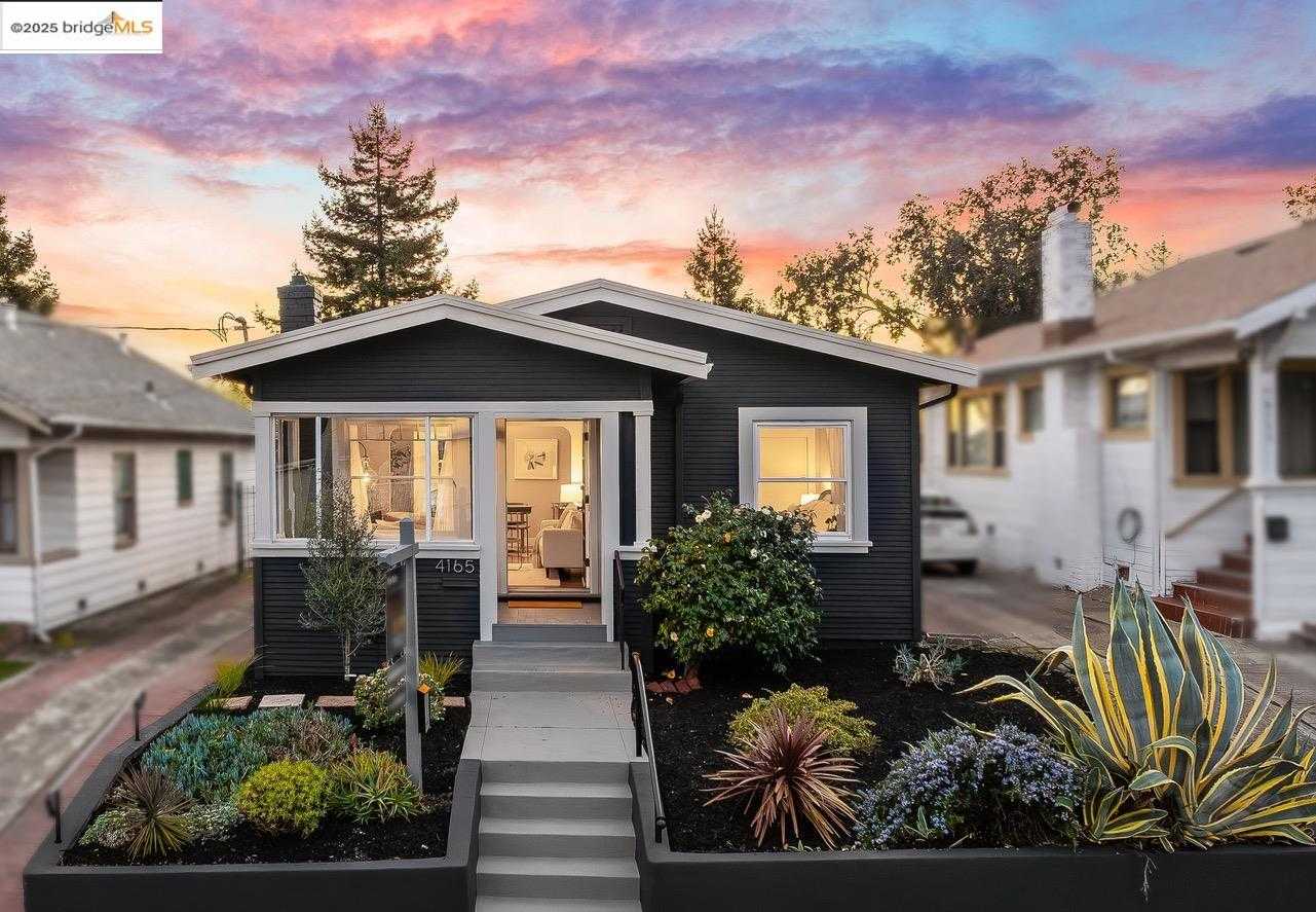
Laurel, Oakland, CA
(2) City data used
Keywords: Murals & indie shops, Transit-friendly main street, Limited green space
Stretched like a ribbon along MacArthur Boulevard, Laurel is more commercial main street than traditional neighborhood. A continuous row of 1920s-to-50s storefronts lines the boulevard, many with Art Deco facades, bright murals, and roll-up doors that open to breweries and cafes. Behind the shops sit single-story cottages and small apartment courts on short cross-streets like Quigley and Kansas, but the energy on the boulevard is all small-business hustle, traffic whir, and neon marquees. ... See Full Page
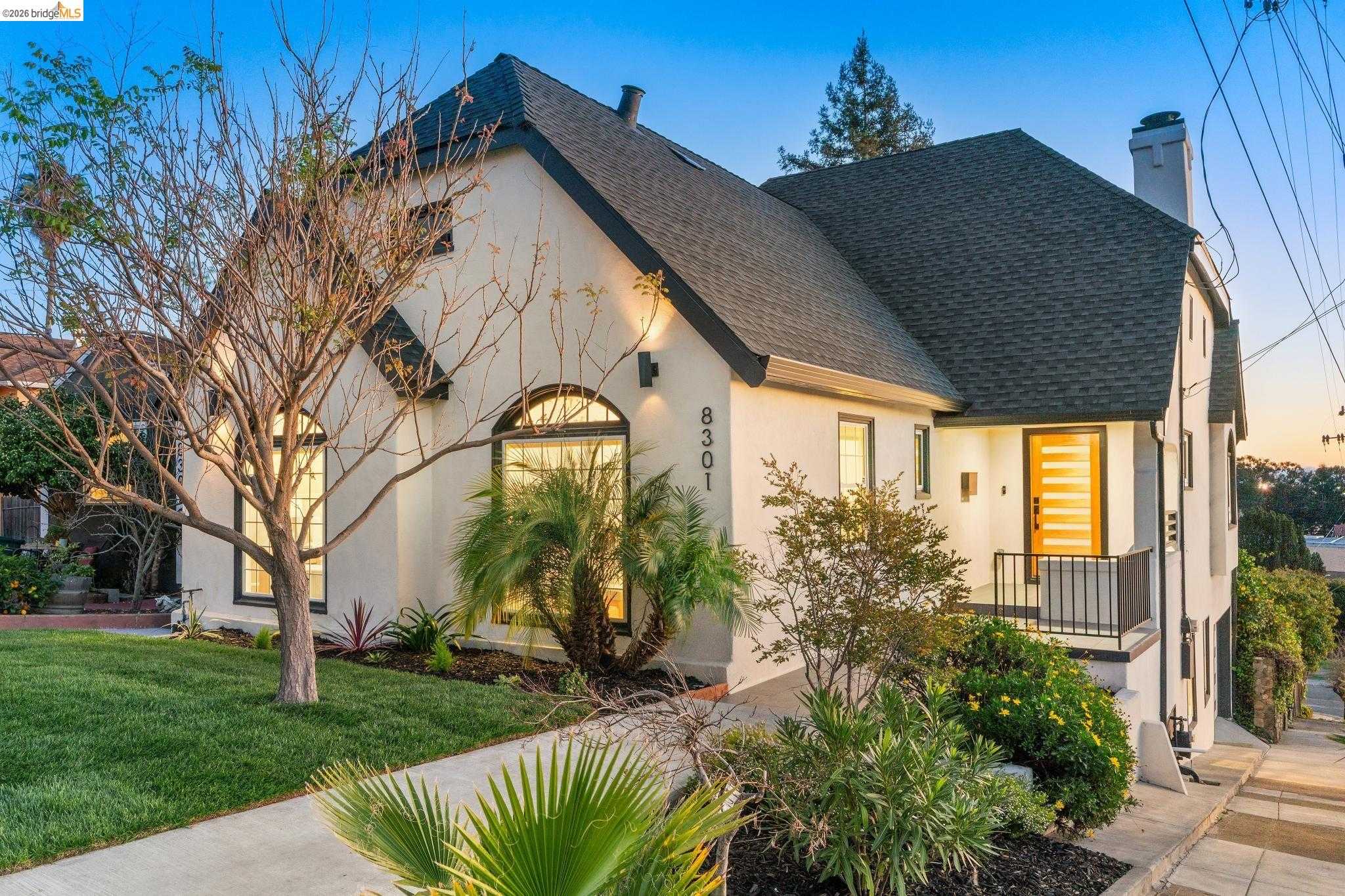
Oak Knoll Golf Links, Oakland, CA
Keywords: Former naval hospital site, Wooded hillside in transition, Foothill open-space links
Oak Knoll Golf Links covers the hillside in the southeastern foothills that for decades held the Oak Knoll Naval Hospital, a 167-acre site bordered by Mountain Boulevard and Keller Avenue that opened during World War II and closed in 1996. Much of it has sat as open, wooded former-institutional land while a long-delayed master-planned community has worked its way through approvals and developer handoffs, with construction of the planned hundreds of homes and small commercial core only recently moving forward. ... See Full Page
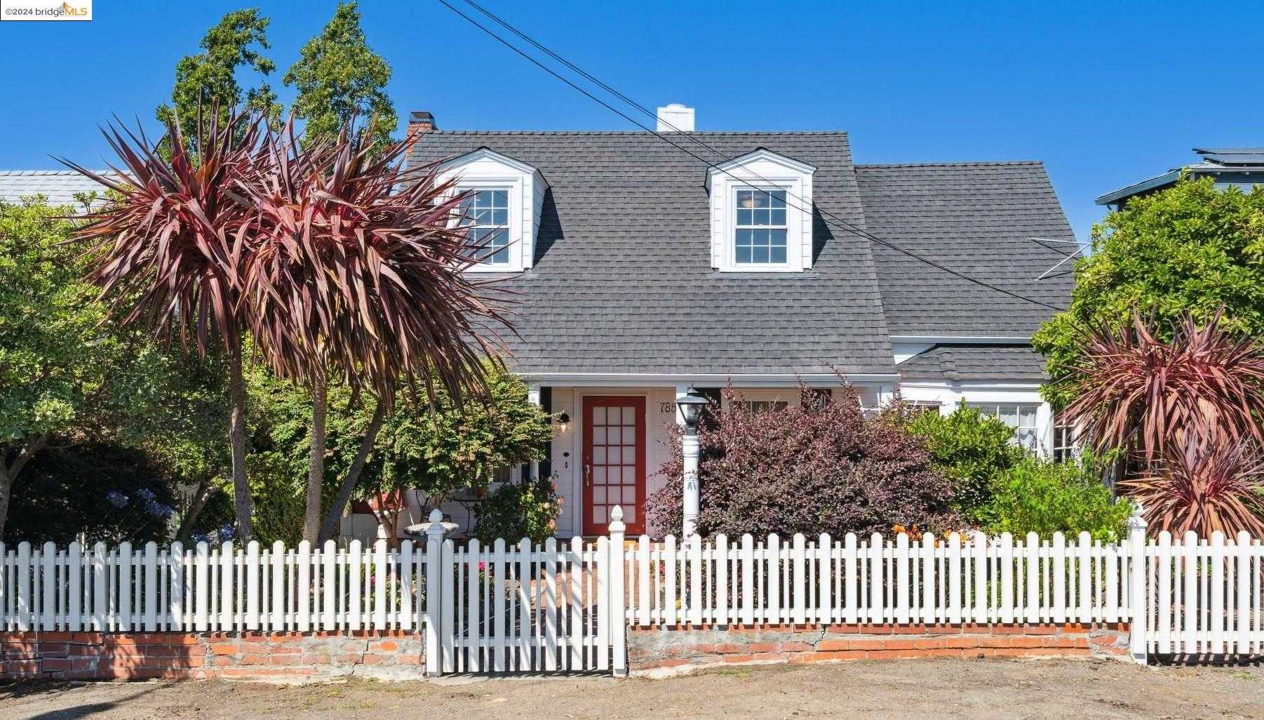
Eastmont Hills, Oakland, CA
Keywords: Hilltop bay glimpses, King Estate trail access, Mixed-maintenance blocks
Eastmont Hills climbs the slope just south of Highway 13 and I-580, a patchwork of 1950s ranches, split-level contemporaries, and the occasional newer infill on narrow, winding streets like Outlook and Parker. Many lots sit upslope, so living rooms and back decks catch filtered bay or valley views while garages open to the street below. Eucalyptus and oaks lend a green backdrop, though upkeep is uneven, with cracked sidewalks and dated facades next to freshly painted remodels. ... See Full Page
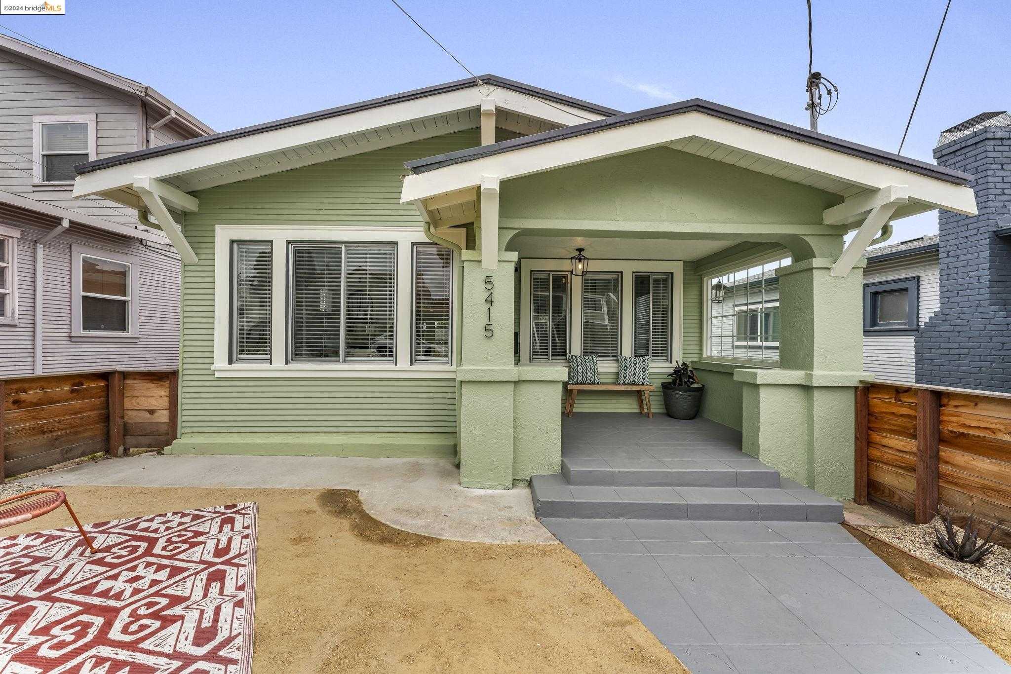
Fairfax, Oakland, CA
Keywords: Maxwell Park hub, Hillside bungalow blocks, Quick freeway access
Fairfax rises gently from Foothill up to MacArthur, its curving streets, Knowland, Madera, Modesto, wrapped around the grassy bowl of Maxwell Park at the center. Most lots hold 1920s-to-40s Spanish Revival, Craftsman, or Tudor bungalows with deep porches and terraced front yards. Because many blocks sit on a slope, back decks pick up filtered skyline or bay glimpses, and mature palm and cedar trees give the interior lanes a leafy frame. ... See Full Page
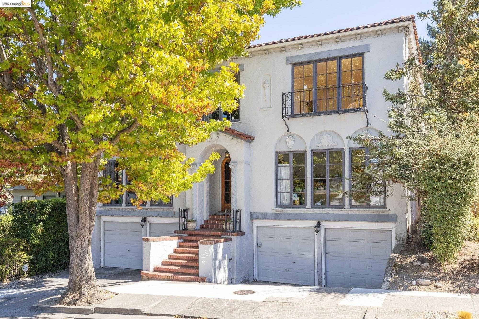
Ivy Hill, Oakland, CA
(2) City data used
Keywords: Lake Merritt strolls, Affordable vintage flats, Hidden-gem eateries
Ivy Hill is a compact triangle of streets just southeast of Lake Merritt, where early-1900s Victorians, modest Craftsman bungalows, and low-rise apartments sit shaded by jacarandas that drop purple blossoms each spring. Yards are small and some older facades show their age, but recent paint jobs and drought-tolerant plantings point to steady reinvestment block by block. ... See Full Page
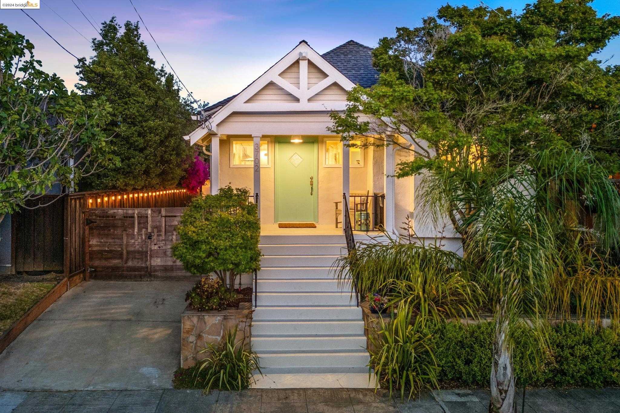
Upper Laurel, Oakland, CA
Keywords: Walkable MacArthur strip, Creekside pocket parks, Mixed-era bungalows
Upper Laurel fans out on a gentle slope above MacArthur Boulevard, its side streets, 38th, Brookdale, Steele, lined with 1920s bungalows, mid-century cottages, and a few small apartment four-plexes. Front yards are compact and often fenced, with drought gardens or shaded porches under mature plane trees. Blocks closest to I-580 sit nearly at freeway grade, so houses there gain quicker car access but also deal with the steady background rush of traffic. ... See Full Page
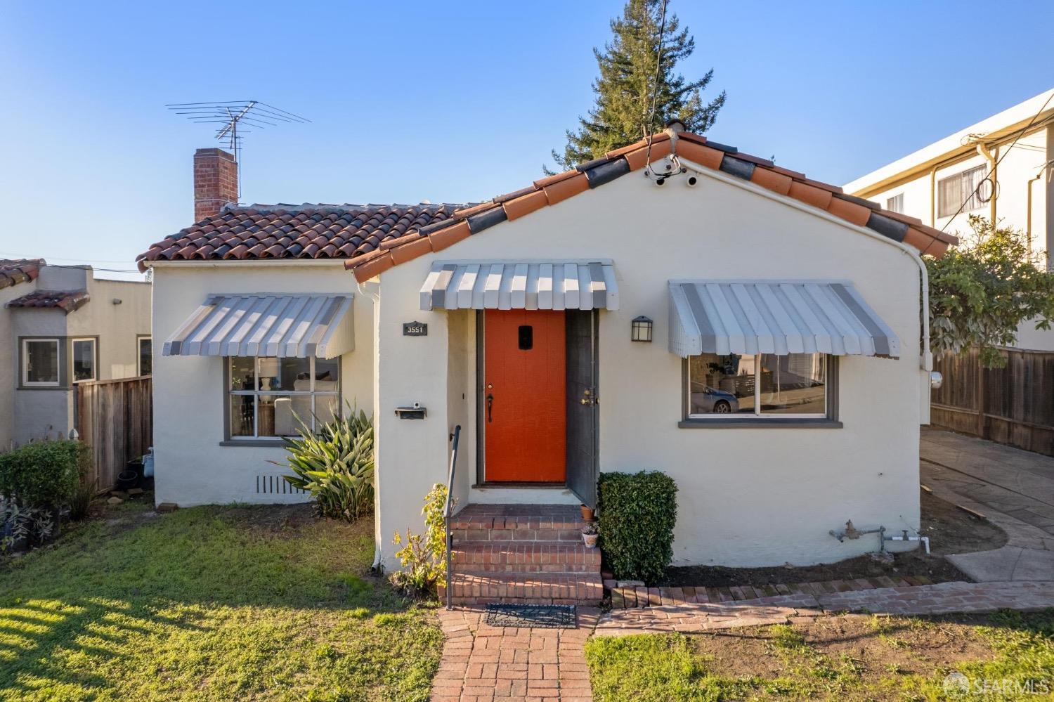
Diamond, Oakland, CA
(2) City data used
Keywords: MacArthur retail strip, Sloped bungalow blocks, Quick freeway access
Diamond runs as a long sliver between MacArthur Boulevard and the I-580 sound wall, threading along Montana and Delaware. The narrow, gently sloping blocks hold 1920s Craftsman bungalows, a few duplexes, and post-war ranches, many with front porches and small fruit trees. The freeway embankment shades the southern edge and MacArthur's storefronts frame the north, so most homes sit just a house or two from one roadway or the other. ... See Full Page
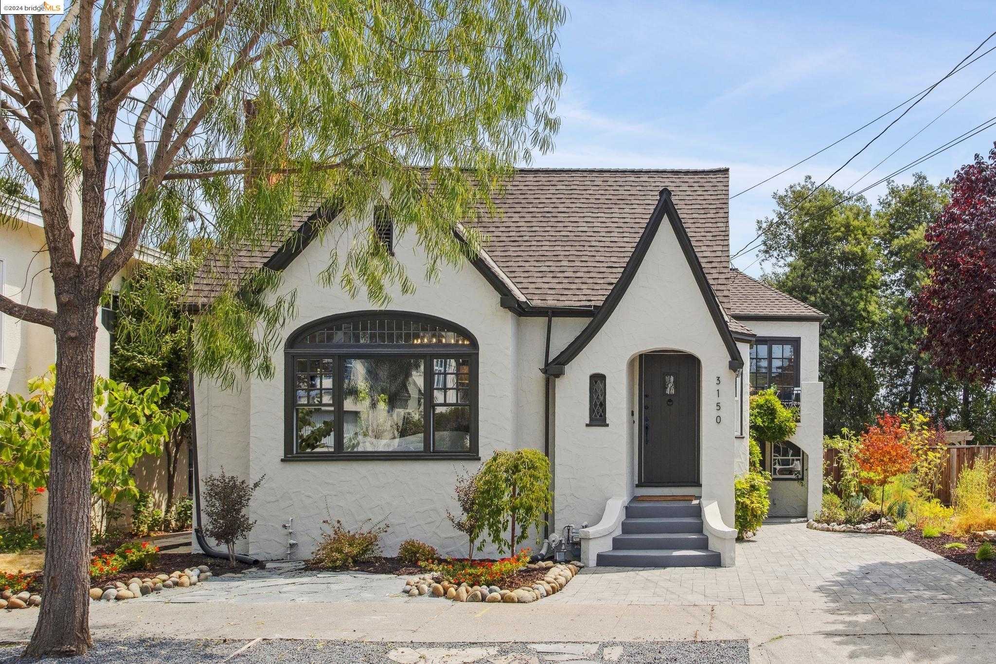
Reservoir Hill, Oakland, CA
(2) City data used
Keywords: Central Reservoir views, Baseball-field park, Quick walk to MacArthur shops
Reservoir Hill rises gently south of MacArthur Boulevard, wrapped around the Central Reservoir and its ring of eucalyptus and oak. Homes cluster on short lanes like 25th and Garden, many of them 1920s bungalows and 1950s ranches perched just above the street. Because the neighborhood sits on a slope, a surprising number of back decks look west toward downtown, while the streets below follow the reservoir's curve. ... See Full Page
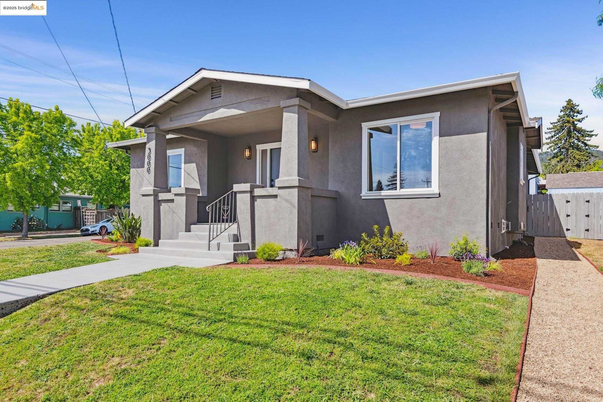
Upper Diamond, Oakland, CA
Keywords: Dimond Park access, Urban-meets-hillside setting, Walk to local markets
Set on a gentle hillside above the Dimond District, Upper Diamond stretches along Lincoln Avenue where level city blocks give way to curving residential lanes. Early-1900s Craftsman bungalows anchor many parcels, joined by a scattering of post-war ranches and a few small apartment buildings. Lots are compact but often tiered, so uphill homes capture filtered bay views while the downhill rows feel more urban, and narrow streets and mature liquidambars add charm even as on-street parking gets tight. ... See Full Page
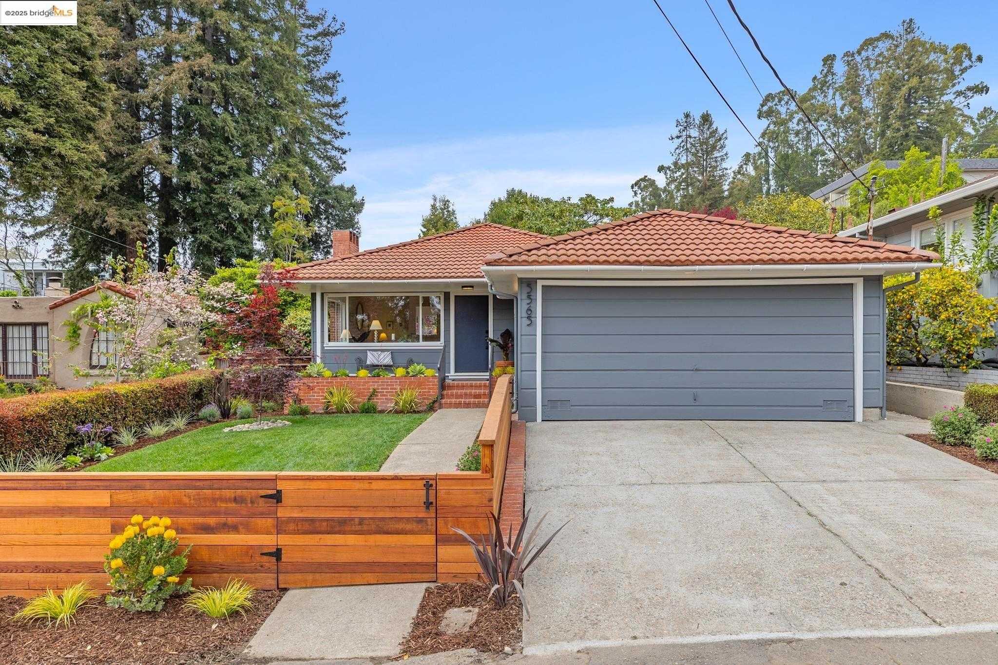
Montclair Business Park, Oakland, CA
(2) City data used
Keywords: Montclair Village shops, Community park hub, Hillside-meets-main-street
Wedged between Highway 13 and the lower slopes of the hills, this slender neighborhood runs along Mountain Boulevard and Moraga Avenue, folding the Montclair Village commercial core into a strip of adjoining hillside streets. The land climbs quickly east of the boulevard, so small Craftsman bungalows and mid-century ranches perch on short, winding spurs like Lucas and Snake Road, while storefronts and low-rise offices line the flatter western edge. Redwoods and London planes shade the sidewalks and soften the traffic funneling toward the freeway. ... See Full Page
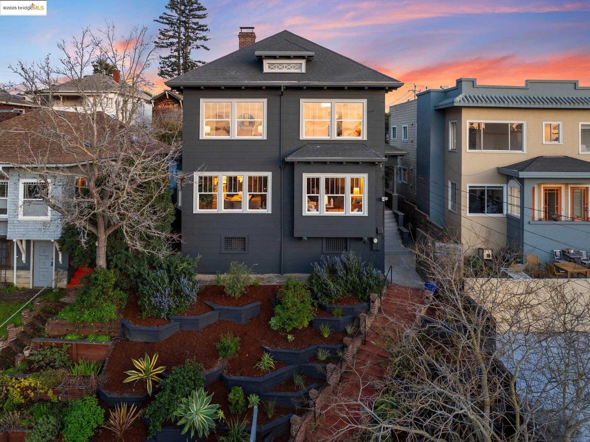
Piedmont Avenue, Oakland, CA
Keywords: Piedmont Avenue shops, Historic storefront charm, Cemetery path escapes
Piedmont Avenue climbs gently northeast from 40th Street toward Moraga, its core grid packed with pre-war Craftsman bungalows, duplexes, and post-WWII apartment walk-ups. Side streets like Howe, Glen, and Echo run narrow and shaded, while the namesake avenue slices through the middle with a mix of low brick storefronts and turn-of-the-century commercial blocks. Mature plane trees soften the urban feel, though traffic queues and delivery trucks are part of the daily soundtrack along the retail strip. ... See Full Page
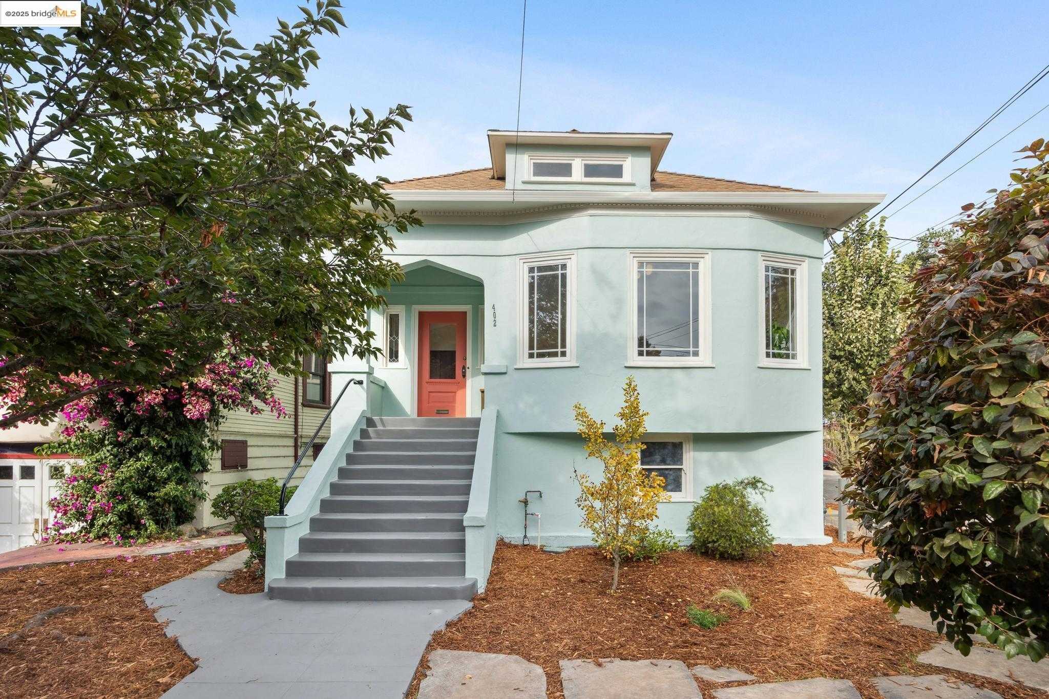
Mosswood, Oakland, CA
(2) City data used
Keywords: Mosswood Park anchor, Walk to MacArthur BART, Historic Victorian blocks
Mosswood is a North Oakland neighborhood wrapped around its namesake park, bounded by I-980 to the west, Broadway to the east, 40th Street to the north, and I-580 to the south. The housing is an early-20th-century mix of Craftsman, Edwardian, Victorian, and bungalow homes, many renovated, on flat, mural-dotted blocks. The 11-acre Mosswood Park sits at the heart of it, built on the 1864 estate of J. Mora Moss, whose Carpenter Gothic mansion still stands on the grounds. ... See Full Page
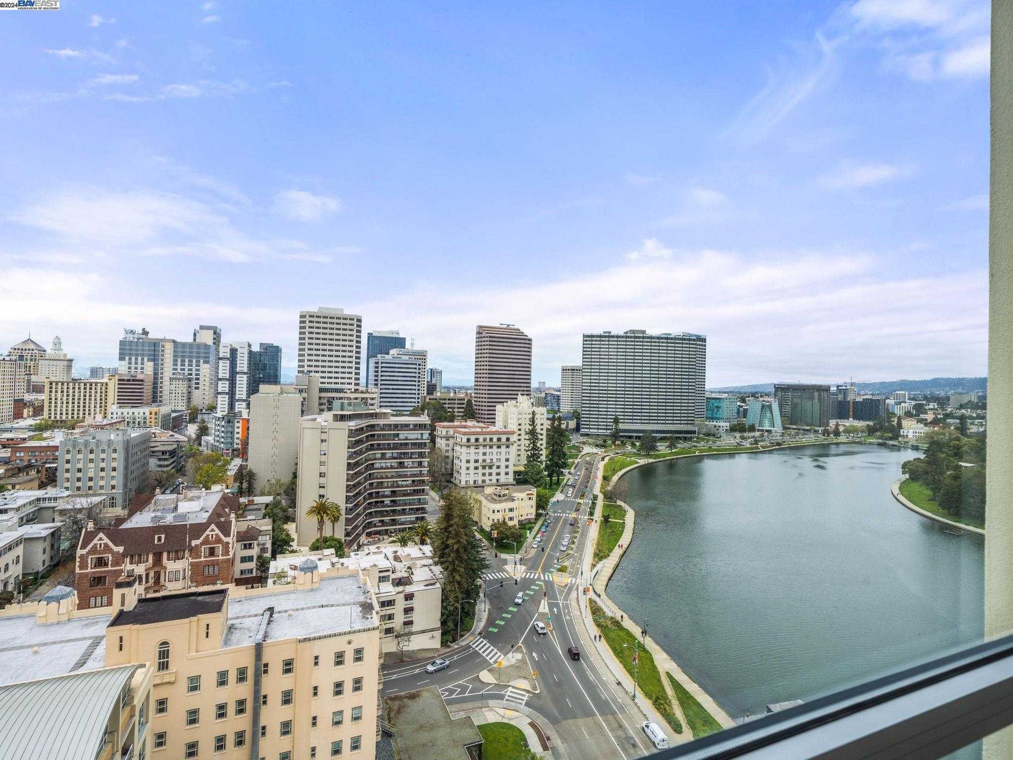
Lakeside, Oakland, CA
(2) City data used
Keywords: Waterfront high rises, Lakeside trail access, Downtown edge convenience
Lakeside hugs the southwestern shore of Lake Merritt, running from 14th Street up to Harrison. Along Lakeside Drive a string of 1920s Art Deco towers, mid-century high-rises, and newer glass condos stares directly onto the water, while the interior grid of Jackson, Alice, and Madison flattens out with low-rise apartment courts and a few early Craftsman holdouts. The broad lawns of Snow Park fill the north corner, and the sidewalks are wide and continuous even as traffic hums on Harrison and 14th at rush hour. ... See Full Page
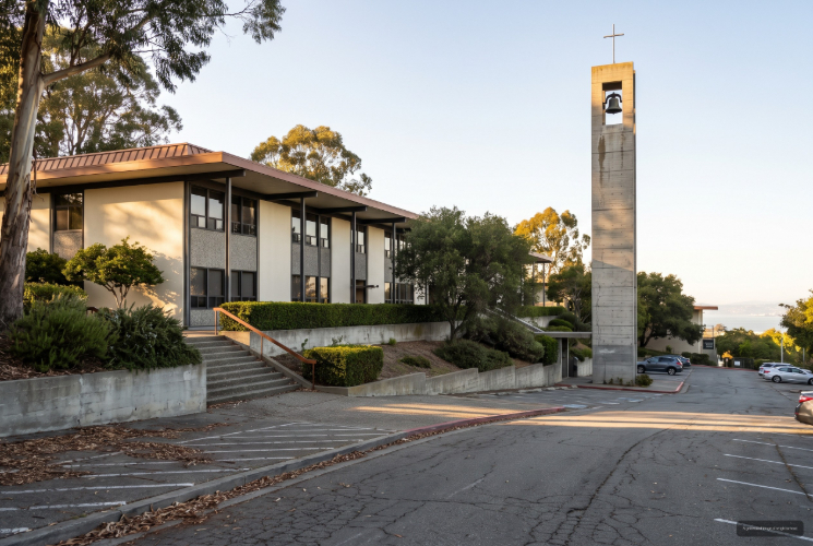
Holy Names University, Oakland, CA
(1) Limited data(2) City data used
Keywords: Expansive Bay views, Hillside campus setting, Quiet, elevated location
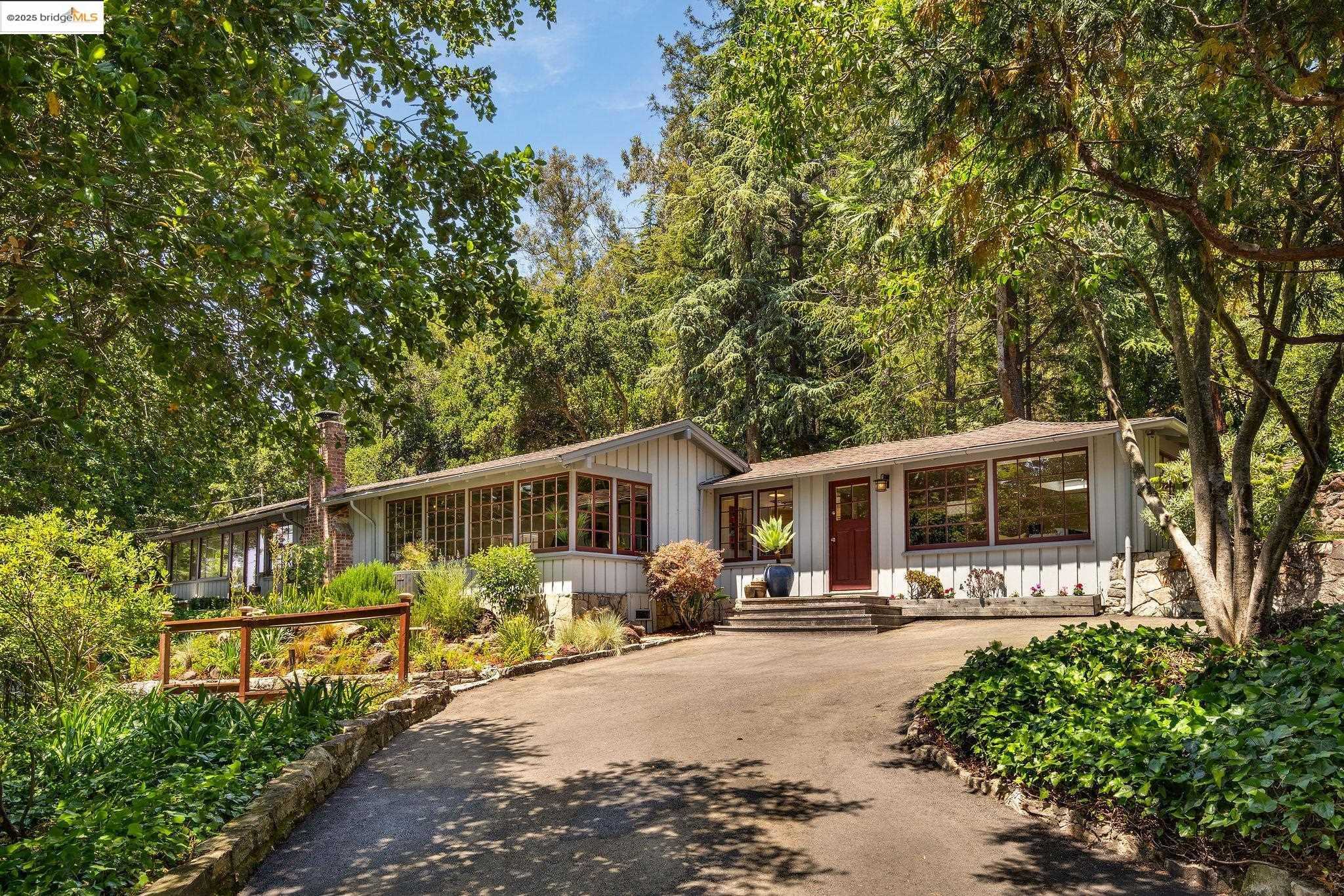
The Holy Names area sits high in the Oakland hills just above Highway 13, with wide views toward the bay and a setting that feels removed from the flatlands below. The former university campus is compact and self-contained against open hillside terrain, and the surrounding roads are winding, leafy, and noticeably calmer than most of Oakland. (The university itself closed in 2023, but the hillside grounds and quiet residential streets still define the area.) ... See Full Page
Joaquin Miller Park, Oakland, CA
(1) Limited data(2) City data used
Keywords: Redwood canopy escape, Regional trail gateway, Outdoor performance venue
Joaquin Miller Park is not a residential neighborhood but a roughly 500-acre green buffer that enriches the hillside communities around Skyline Boulevard and Highway 13. Towering redwoods, madrone groves, and open ridgelines define the landscape, giving residents of Montclair, Oakmore, and Lincoln Highlands a nature escape a few minutes downhill. For the flatlands, the forest is reachable in about fifteen minutes via Highway 13. ... See Full Page
Lakeside Park, Oakland, CA
(1) Limited data(2) City data used
Keywords: Lake Merritt centerpiece, Fairyland and gardens, Shoreline park destination
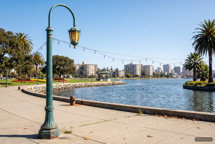
Lakeside Park is the grand public park that crowns the north end of Lake Merritt, not a residential neighborhood but the green centerpiece the surrounding districts orbit. Spread along Bellevue Avenue, it gathers Children's Fairyland, the Gardens at Lake Merritt, a boathouse, the Rotary Nature Center, the 1923 Edoff Memorial Bandstand, lawn bowling greens, and a scatter of lawns, pergolas, and fountains into one continuous stretch of parkland at the water's edge. ... See Full Page
Belle Vista, Oakland, CA
(1) Limited data(2) City data used
Keywords: Bella Vista Park core, Modest bungalow grid, Quick hospital access
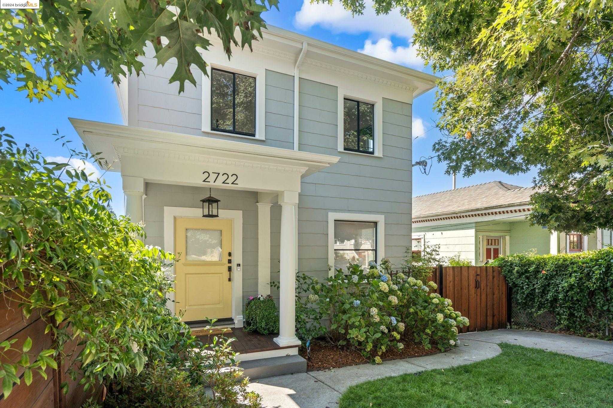
Belle Vista is a compact, gently sloped rectangle just west of Highland Hospital, built around the tree-dotted Bella Vista Park at its center. Early-1900s cottages and post-war duplexes sit on narrow lots with small porches and low fences, and a run of mature palms gives several blocks a distinctive silhouette. Interior streets stay quiet, though 14th Avenue carries a steady flow toward the freeway along the edge. ... See Full Page
Knowland State Arboretum and Park, Oakland, CA
(1) Limited data(2) City data used
Keywords: Oakland Zoo hub, Panoramic grassland ridges, Gondola-to-trail link
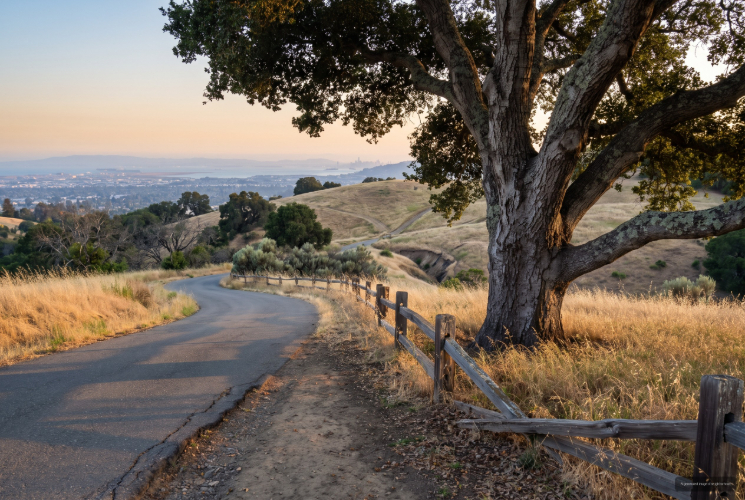
Knowland Park blankets a broad ridgeline above I-580, mixing native grasslands, oak woodlands, and pockets of scrub that drop toward San Leandro Creek. There is no housing inside the boundary, just open space crisscrossed by fire roads and single-track, plus the Oakland Zoo's California Trail campus tucked into the western slope. A gondola links the lower zoo to hilltop exhibits, and ridge-top clearings open to sweeping views of San Francisco Bay, Mount Diablo, and the Santa Cruz Mountains on clear days. ... See Full Page
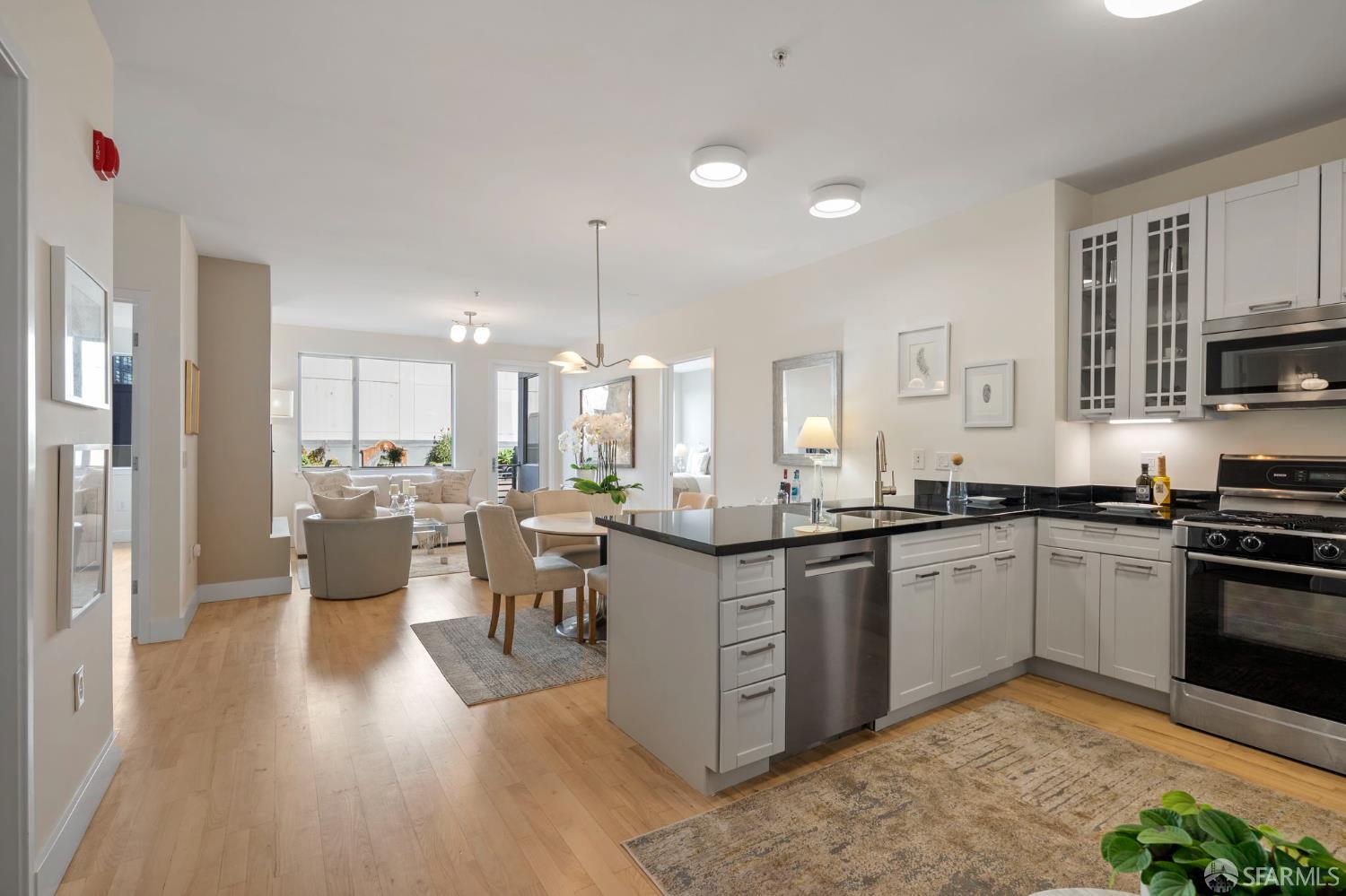
Waverly, Oakland, CA
(1) Limited data(2) City data used
Keywords: Central North Oakland, Near Piedmont Avenue, Transit-rich pocket
Waverly is a small residential pocket in North Oakland near the Piedmont Avenue and Pill Hill area, in the band of streets between Broadway and the Mosswood neighborhood. The housing is an early-20th-century mix of Craftsman bungalows, Victorians, and small apartment buildings on flat, tree-shaded blocks, with the steady upkeep and central-city density typical of this stretch between downtown and the Rockridge-Temescal corridor. ... See Full Page
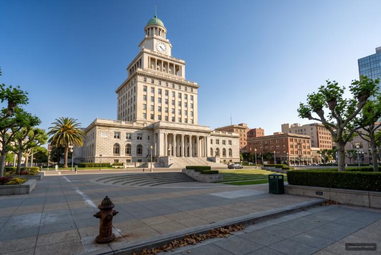
Civic Center, Oakland, CA
(1) Limited data(2) City data used
Keywords: Government hub, Formal plaza space, Iconic Art Deco skyline
Civic Center is Oakland's seat of government, where City Hall rises above Frank Ogawa Plaza and the county buildings, courthouses, and civic offices cluster together. During the workday it runs busy and purposeful, full of office workers, attorneys, and people moving between agencies, and it is where the city's protests, press conferences, and public gatherings tend to land. After hours it empties out and goes quiet compared with the nearby blocks of downtown. ... See Full Page
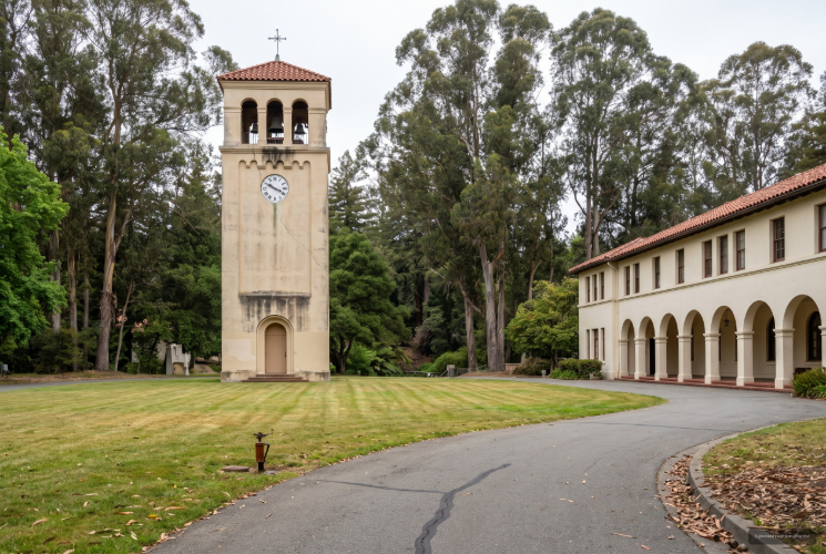
Mills College, Oakland, CA
(1) Limited data(2) City data used
Keywords: Historic college campus, Julia Morgan architecture, Eucalyptus-shaded grounds
The Mills College area is the 135-acre campus in the East Oakland foothills at 5000 MacArthur, a green, self-contained world that feels apart from the flats around it. Founded as a women's seminary and relocated to Oakland in 1871, it became the second women's college west of the Rockies and merged into Northeastern University in 2022. Julia Morgan designed six of its buildings, including El Campanil, often cited as the first freestanding bell tower on a U.S. campus, and the eucalyptus groves planted in the 1870s still define the grounds. ... See Full Page
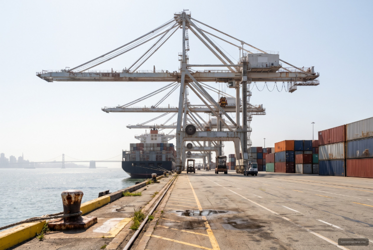
Port of Oakland, Oakland, CA
(1) Limited data(2) City data used
Keywords: Container port cranes, Middle Harbor shoreline, Working waterfront
The Port of Oakland is the working seaport on the city's bay edge, one of the busiest container ports on the West Coast and an entry that is industrial infrastructure rather than a neighborhood. Eighteen deep-water berths and several dozen towering gantry cranes line the harbor across terminals like the Outer Harbor and Everport, and the giant red cranes are an Oakland skyline landmark in their own right, often credited as an inspiration for the AT-AT walkers in Star Wars. There is no housing here. ... See Full Page
Oaksterdam, Oakland, CA
(1) Limited data(2) City data used
Keywords: Cannabis culture district, Downtown-and-lake adjacency, Walk to 19th St BART
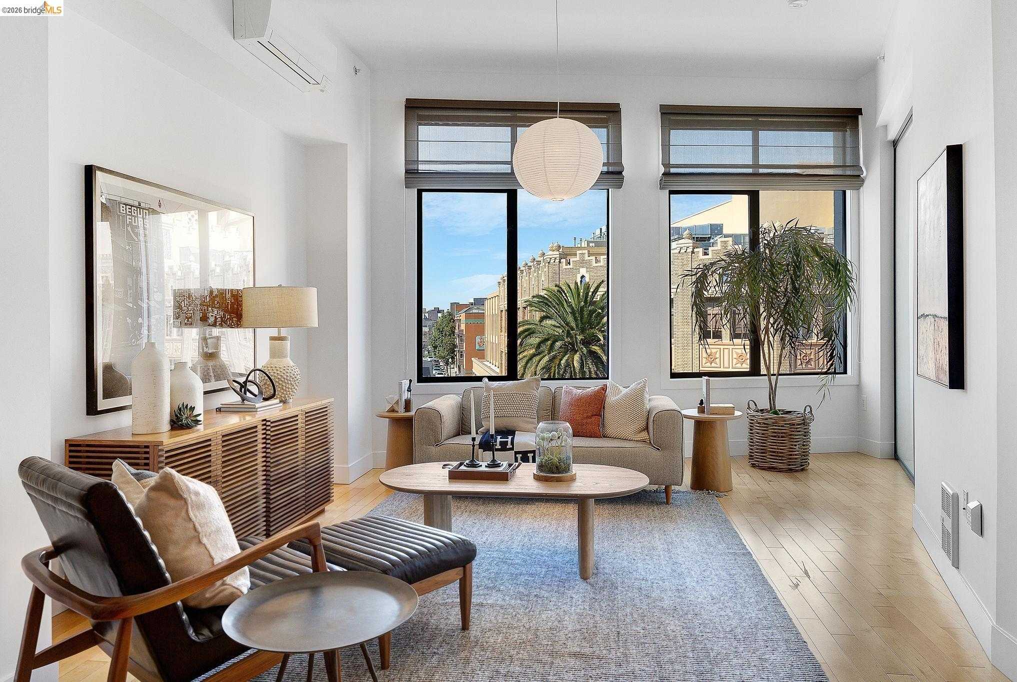
Oaksterdam is the cannabis cultural district on the north end of downtown, the portmanteau of Oakland and Amsterdam that named the area when dispensaries, cafes, and the activism around them clustered here in the 2000s. It sits between downtown proper, Lakeside, and the old financial district, roughly bounded by 14th, Harrison, 19th, and Telegraph, and it is best known as the home of Oaksterdam University, the cannabis trade school founded by Richard Lee in 2007 and famously raided by federal agents in 2012. ... See Full Page
School, Oakland, CA
(1) Limited data(2) City data used
Keywords: Quiet residential pocket, Near Laurel strip, Dimond-adjacent living
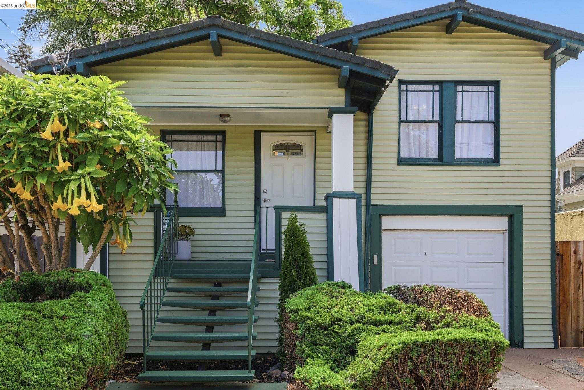
School is a small residential pocket in the band of streets near School Street in the Laurel-and-Dimond area of East Oakland, set on the gentle transition between the flatland grid and the lower hillside. The housing is a mix of 1920s bungalows and mid-century homes on modest lots, with mature street trees and a quiet, residential character set back from the busier MacArthur and Foothill corridors. ... See Full Page
Downtown Oakland, Oakland, CA
(1) Limited data(2) City data used
Keywords: Transit-door living, Round-the-clock eateries, Historic façades & murals
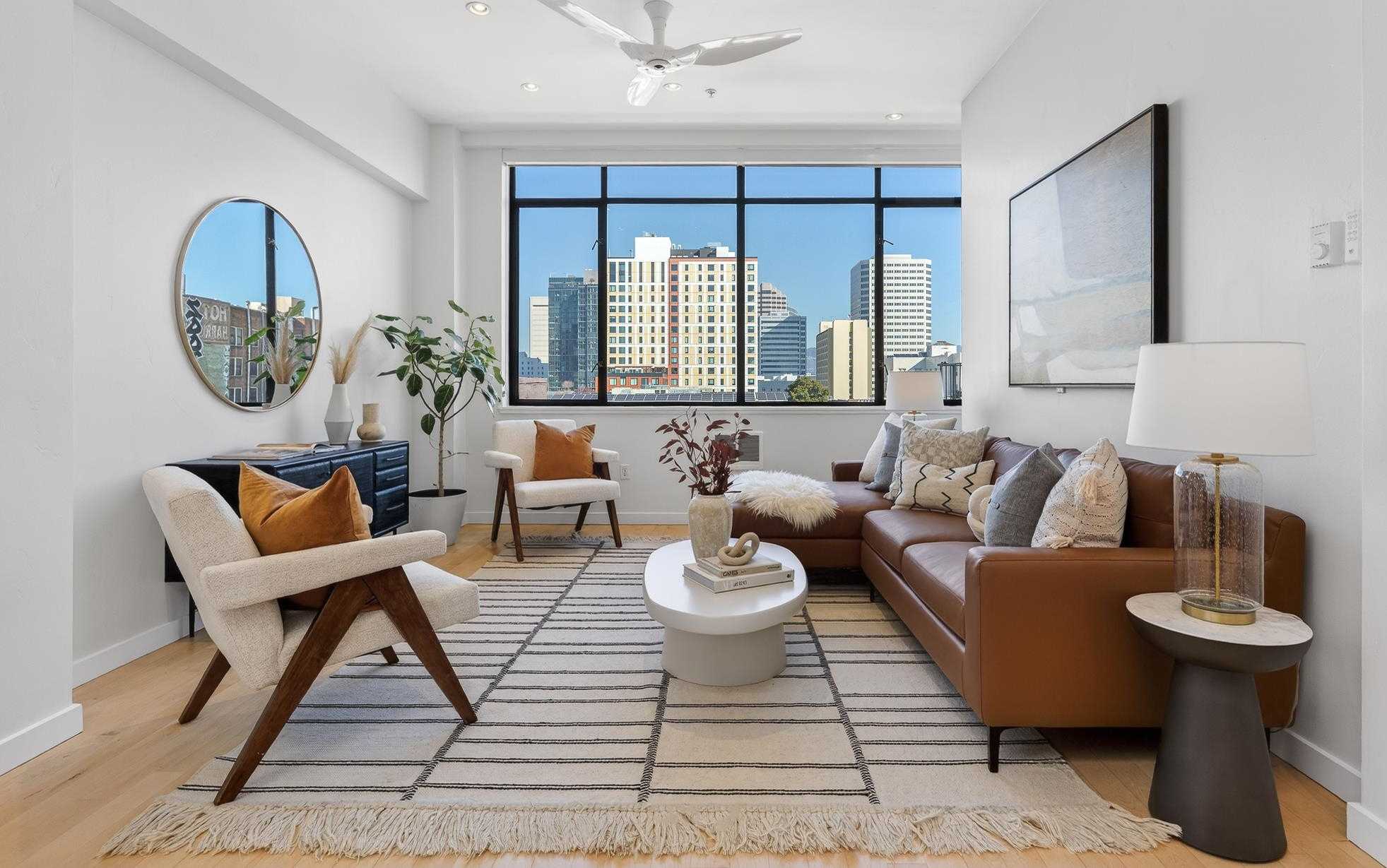
This micro-district between Broadway and Alice is a tight grid of early-20th-century office blocks threaded with newer glass condo towers. Restored terra-cotta facades and big murals give some corners real polish, while other ground floors still wear plywood or faded signage, so the street scene runs hit-or-miss block to block. The sidewalks are wide and newly paved, but heavy foot traffic and construction fencing are part of the daily picture. ... See Full Page
Hawthorne, Oakland, CA
(1) Limited data(2) City data used
Keywords: San Antonio density, Lake-adjacent flats, Global corridor dining
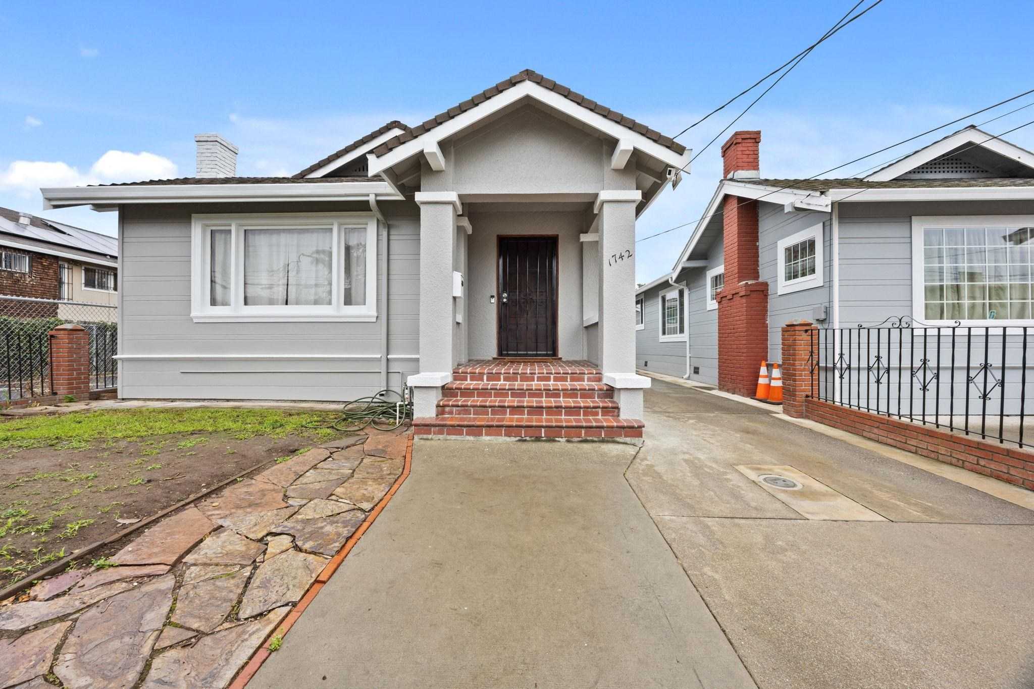
Hawthorne is a dense residential pocket in the San Antonio district, east of Lake Merritt in the older flats between Foothill Boulevard and International. The housing is a tight mix of early-1900s Victorians, cut-up flats, and stucco apartment buildings on small lots, with the jacaranda-shaded streets and block-by-block upkeep that run through this part of Oakland. It sits within walking distance of Lake Merritt's eastern arm and the channel. ... See Full Page
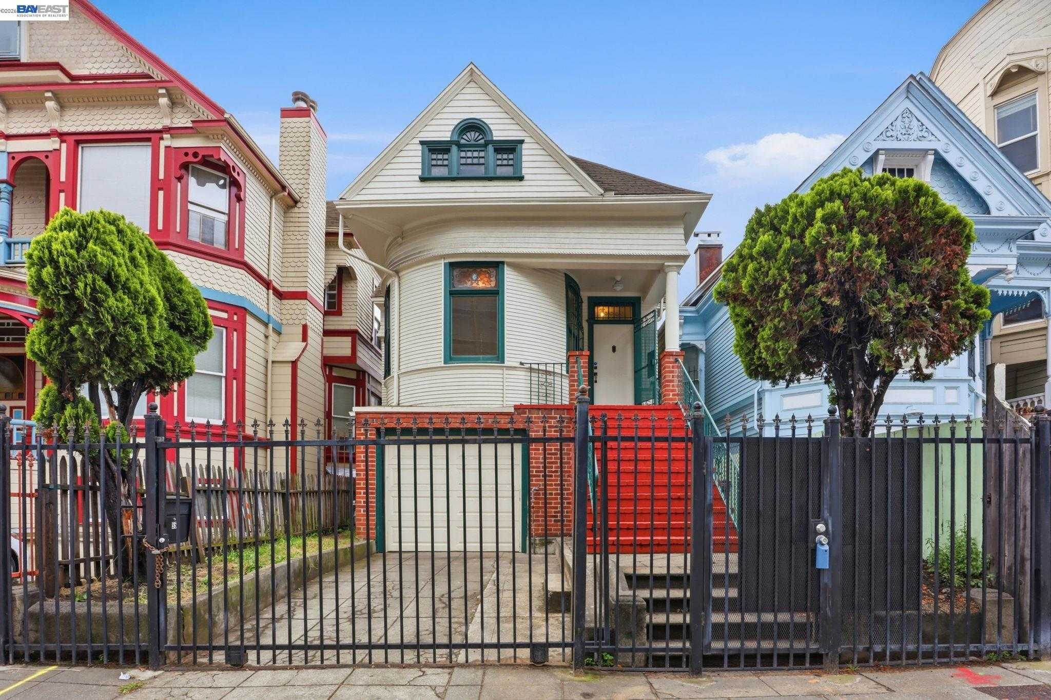
Laney College, Oakland, CA
(1) Limited data(2) City data used
Keywords: Lake Merritt trail access, Laney Flea Market energy, Campus sports facilities
Dominated by the Laney College campus, this flat wedge sits between the Lake Merritt Channel and the elevated I-880. Concrete academic buildings, sports fields, and parking lots fill most of the footprint, with a few mid-rise condos and small apartment courts tucked along Fallon and 9th Avenue. Tree cover follows the channel edges, but the interior reads wide-open and institution-focused rather than residential. ... See Full Page
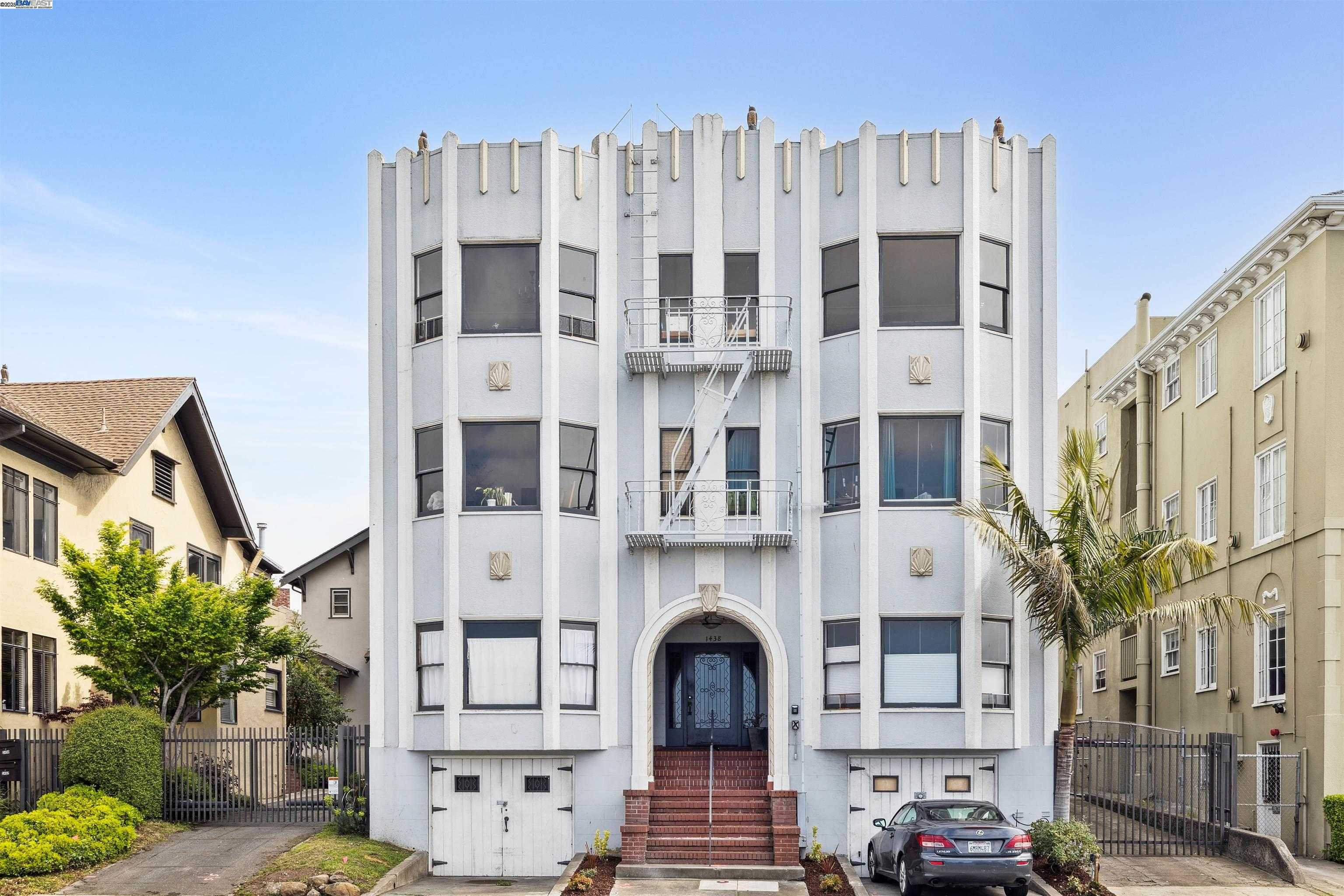
Merritt, Oakland, CA
(1) Limited data(2) City data used
Keywords: Lake-adjacent pocket, Walk to the shoreline, Transit-rich location
Merritt is a small residential pocket just southeast of Lake Merritt, in the older flats where the neighborhoods around the lake meet the San Antonio district near the channel. The housing is a dense, walkable mix of early-1900s Victorians, cut-up flats, and low-rise apartments on tight lots, shaded in places by mature street trees, with the steady reinvestment and block-by-block upkeep typical of the lake's southeastern edge. ... See Full Page
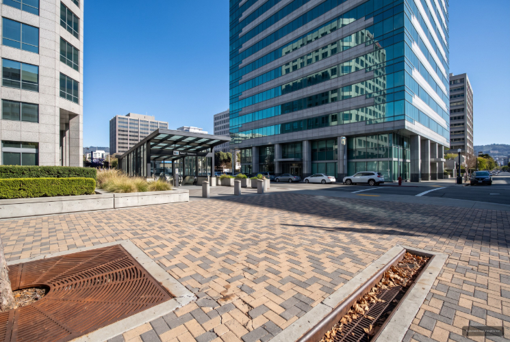
City Center, Oakland, CA
(1) Limited data(2) City data used
Keywords: BART-anchored core, Office and plaza district, Open-air shopping center
City Center is the commercial heart of downtown Oakland, a roughly twelve-block stretch between Broadway and Martin Luther King Jr. Way that runs from Frank Ogawa Plaza down toward the Convention Center. This is office Oakland: Class A towers, a privately owned open-air shopping mall at its core, and the 12th Street BART station feeding it from underground. It is built for the workday more than for living, with housing mostly at the edges where it blends into Old Oakland and Uptown. ... See Full Page
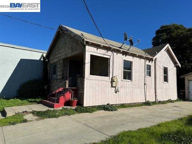
Melrose, Oakland, CA
(1) Limited data(2) City data used
Keywords: Historic High Street settlement, Affordable flatland grid, International corridor
Melrose is one of the historic settlements of East Oakland, a name that predates annexation, when small communities grew up along the old Oakland-San Leandro Road. It centers on International Boulevard around High Street and once held ostrich farms and a smelting works run by Borax Smith. Today it is a flat residential grid of 1920s cottages and post-war homes on narrow lots, with the block-by-block mix of fresh paint and deferred upkeep that defines the flats. ... See Full Page
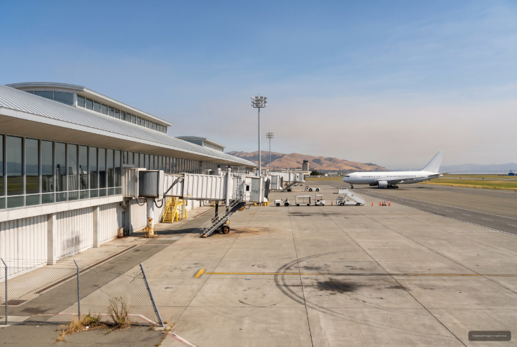
Oakland International Airport, Oakland, CA
(1) Limited data(2) City data used
Keywords: Airport and runways, San Leandro Bay shoreline, Arrowhead Marsh birding
This is the airport itself, the land occupied by Oakland International and its runways, terminals, and supporting facilities on the bay side of deep East Oakland. It is not a residential neighborhood in any sense; the footprint is aviation infrastructure, leased largely from the Port of Oakland, hemmed by Doolittle Drive, the bay, and the industrial corridors that feed it. ... See Full Page
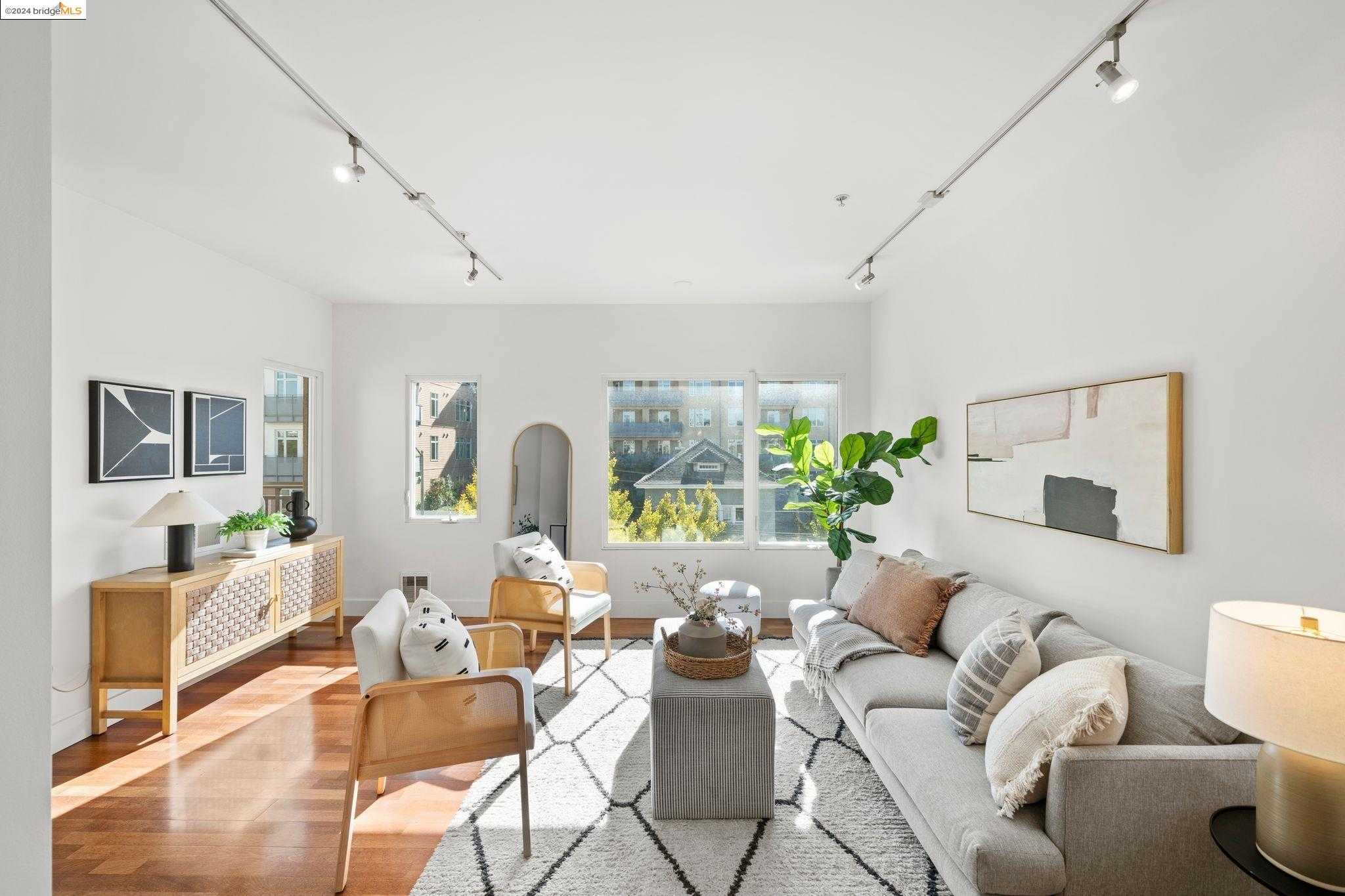
Pill Hill, Oakland, CA
(1) Limited data(2) City data used
Keywords: Hospital hub blocks, Freeway-edge apartments, Walk-to Broadway dining
Pinned between I-580, Broadway, and the Highway 24/980 interchange, Pill Hill is a tight, largely flat wedge whose streets are dominated by Summit Medical Center's mid-rise towers, 1920s brick apartments, and a few Craftsman holdouts. Blocks like Summit and Webster feel almost campus-like with their loading and ambulance bays, while the side streets carry a steady hum from the surrounding freeways. ... See Full Page
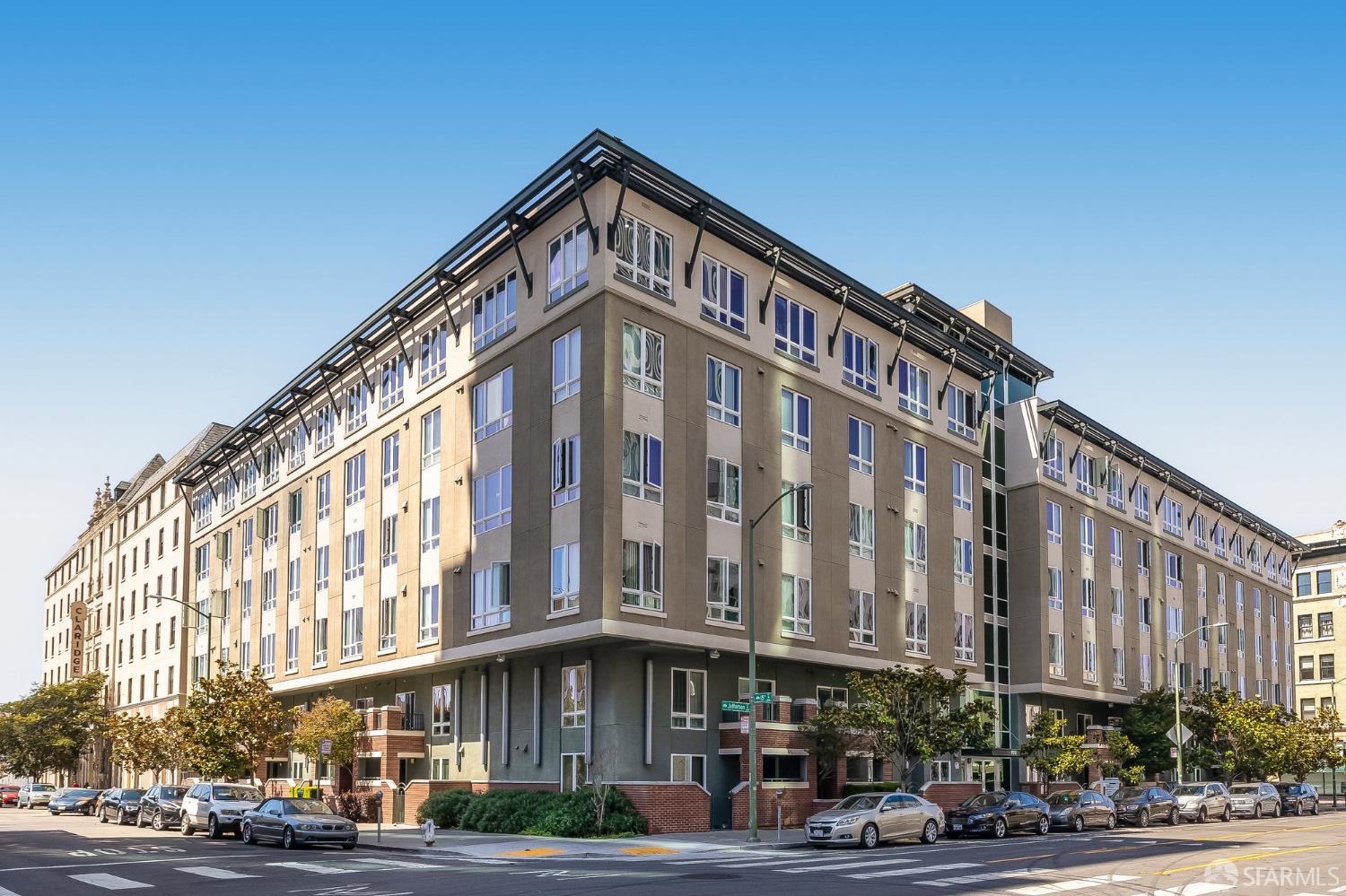
San Pablo Gateway, Oakland, CA
(1) Limited data(2) City data used
Keywords: San Pablo Avenue corridor, Downtown-edge transition, Transit-served gateway
San Pablo Gateway is a mixed-use pocket along the San Pablo Avenue corridor on the edge between downtown and West Oakland, where the avenue runs as a major arterial toward the north. It is a transitional district more than a settled residential neighborhood, a mix of older commercial buildings, newer affordable and market-rate housing developments, storefront churches, and service businesses on flat blocks, with the streetscape shifting from rehabbed to rough within a block. ... See Full Page
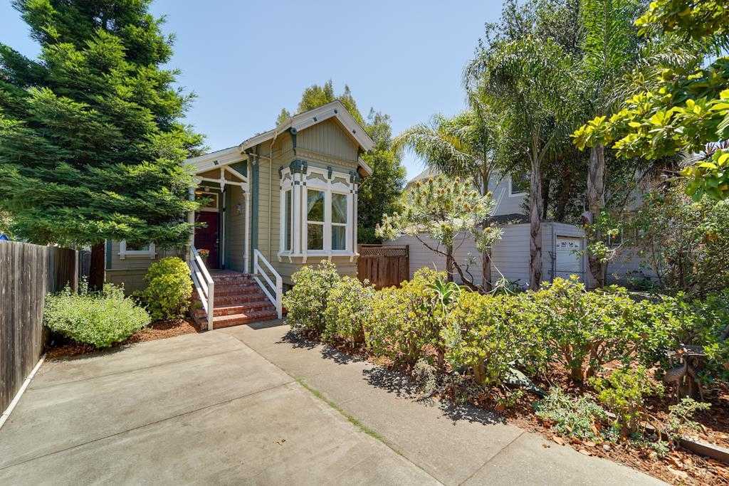
Acorn, Oakland, CA
(1) Limited data(2) City data used
Keywords: Acorn redevelopment blocks, Walk to West Oakland BART, Freeway-edge flats
Acorn is one of the most rebuilt patches of West Oakland, a pocket between roughly 8th and 10th Streets and Market and Adeline that was leveled in the 1960s when the city flattened about fifty blocks for the Acorn redevelopment project alongside what is now the Nimitz Freeway. What you see today mostly dates to two eras: mid-century apartment blocks and townhomes from the original rebuild, and a cluster of two-story single-family houses put up between Filbert and Market in the 1990s redo. It reads newer and more uniform than the Victorian blocks around it. ... See Full Page
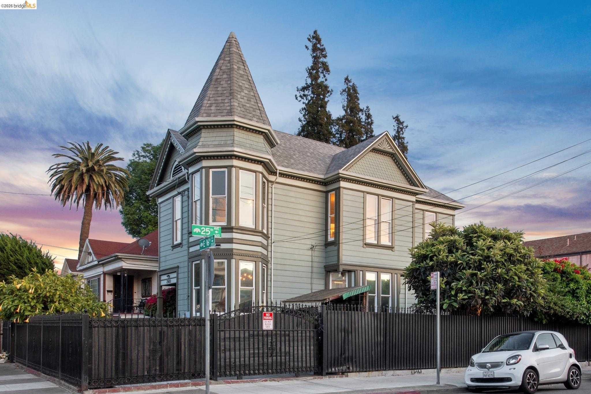
Oak Tree, Oakland, CA
(1) Limited data(2) City data used
Keywords: Quiet residential pocket, Near Park Boulevard, Lake-access proximity
Oak Tree is a small residential pocket in the band of streets near Park Boulevard southeast of Lake Merritt, in the transition between the lake-adjacent flats and the lower hillside neighborhoods. The housing is a mix of early-1900s bungalows and mid-century homes on modest lots, with mature street trees and a quiet, residential character set back from the busier corridors. ... See Full Page
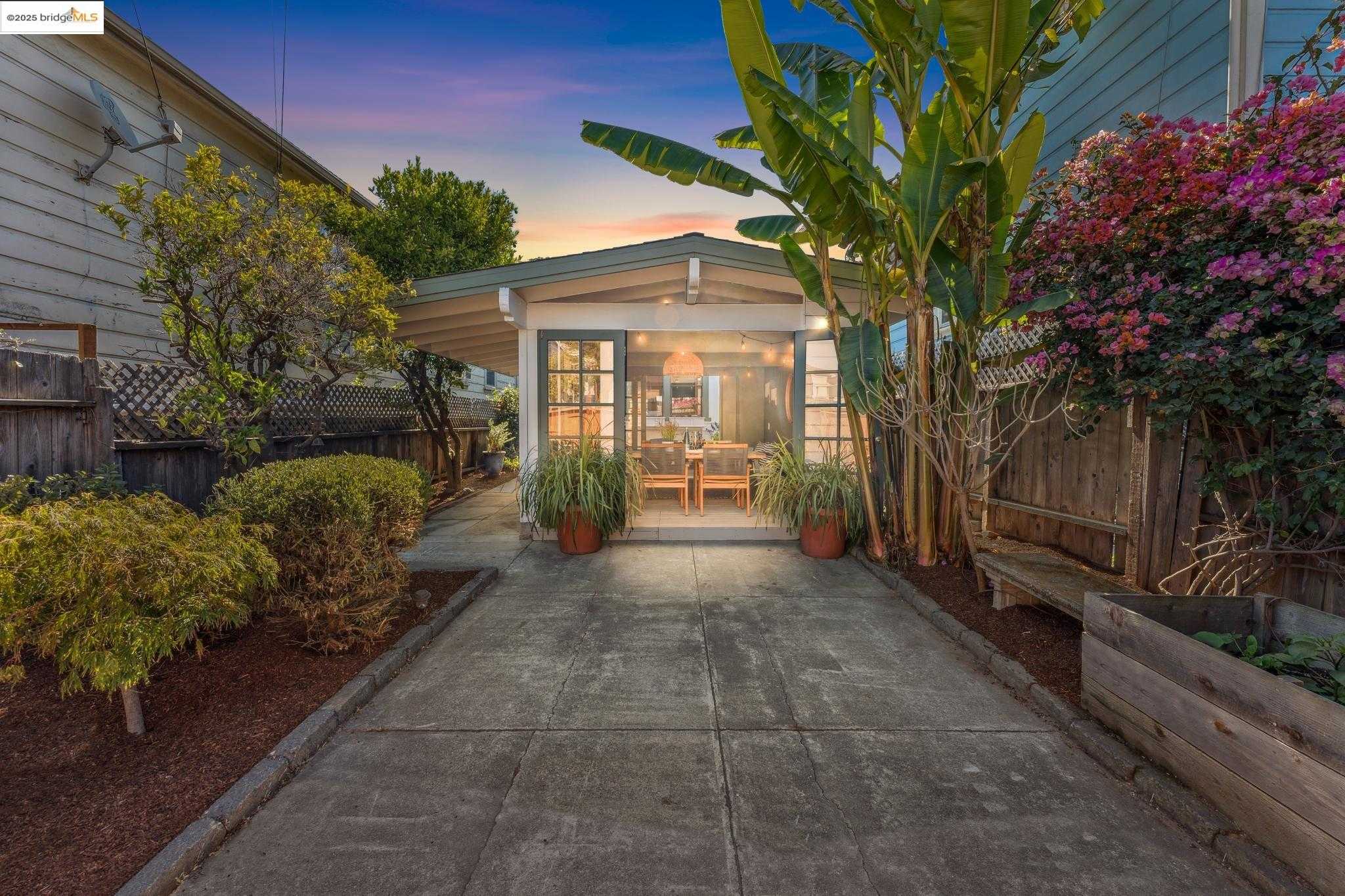
South Prescott, Oakland, CA
(1) Limited data(2) City data used
Keywords: Victorian West Oakland, At West Oakland BART, Rail-edge pocket
South Prescott is the small West Oakland pocket south of the main Prescott neighborhood, the part of old Oakland Point closest to the rail yards and the West Oakland BART station. It is a flat, compact grid of Victorian and early-bungalow homes, some carefully restored, hemmed by the freeway, the train tracks, and the industrial edge that runs toward the port, which gives it a tucked-away, end-of-the-line quality. ... See Full Page
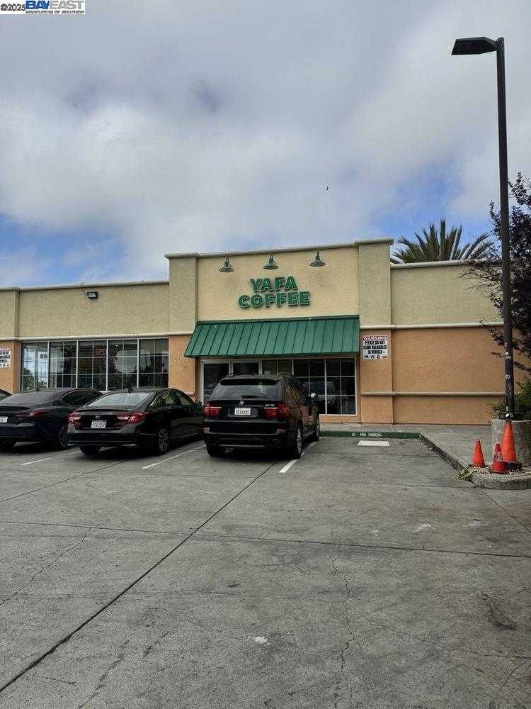
Hegenberger Near Airport, Oakland, CA
(1) Limited data(2) City data used
Keywords: Airport gateway corridor, Hotels and logistics, Freeway-and-transit access
Hegenberger Near Airport is the commercial-and-industrial stretch along Hegenberger Road as it runs down toward Oakland International, the gateway corridor most travelers see between I-880 and the terminals. The landscape here is hotels, chain restaurants, fuel stops, car-rental lots, and distribution buildings rather than homes, with the airport, the Coliseum complex, and the freeway all feeding traffic through it. ... See Full Page
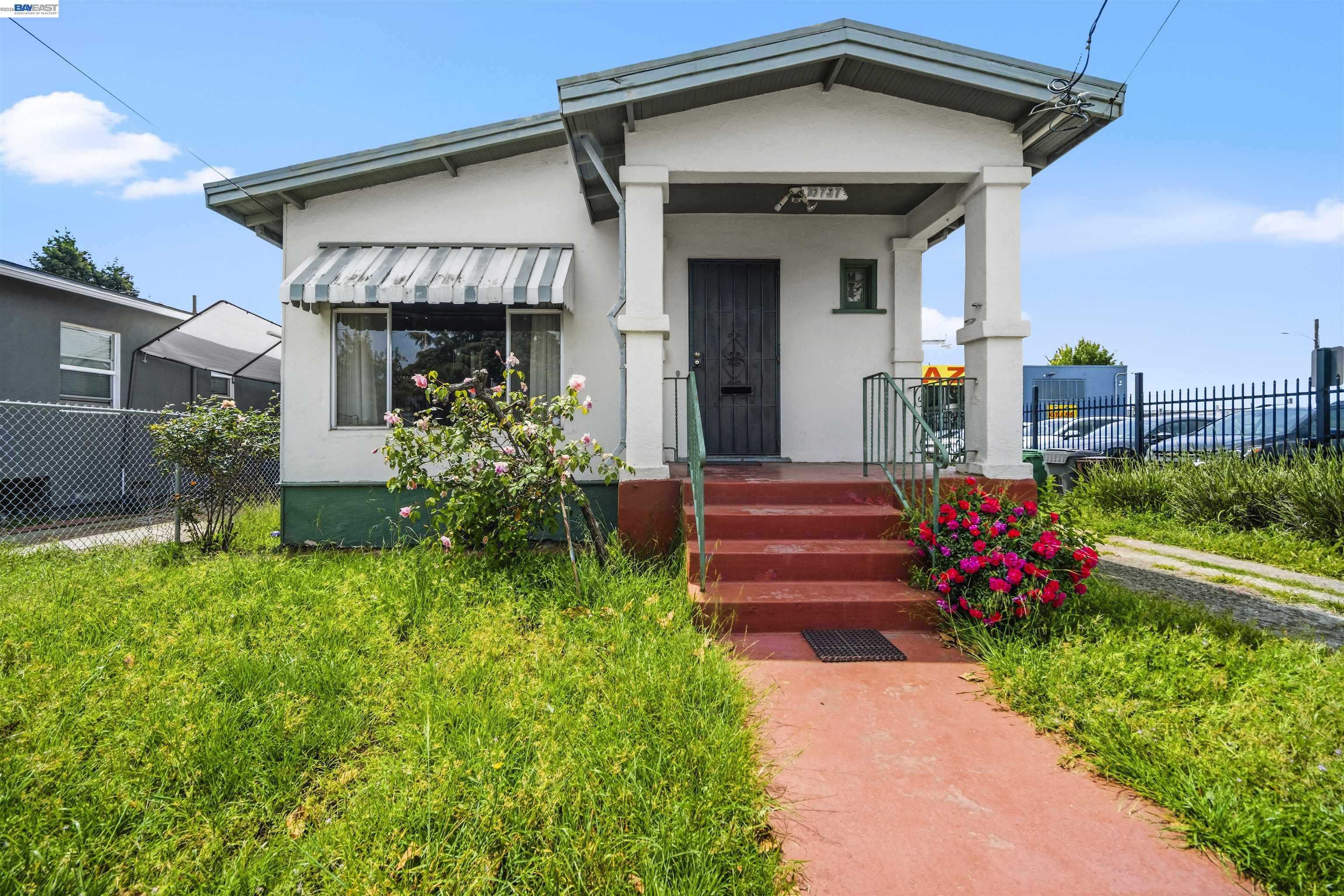
South Stonehurst, Oakland, CA
(1) Limited data(2) City data used
Keywords: Stonehurst-area flats, Affordable and isolated, San Leandro border pocket
South Stonehurst is a deep East Oakland neighborhood near the San Leandro border, the southern part of the Stonehurst area that grew up around the Stonehurst School in the early 1900s. Like the rest of this corner, it is partly isolated by rail lines and San Leandro Creek, a flat grid of early-1900s and post-war homes on small lots, with the block-by-block range of upkeep that defines the deep flats. ... See Full Page
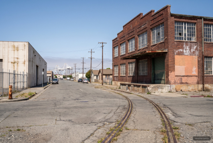
South Kennedy Tract, Oakland, CA
(1) Limited data(2) City data used
Keywords: Estuary-edge Fruitvale, Residential-industrial mix, Near Park Street bridge
South Kennedy Tract is a small residential and industrial pocket in the Fruitvale flats near the estuary, in the area around Ford Street and the lower avenues toward the Park Street bridge to Alameda. It is a flat, working stretch where modest early-1900s and post-war homes sit close to warehouses, the rail corridor, and the waterfront industry that has long defined this edge of the city, so the streetscape shifts quickly from residential to utilitarian. ... See Full Page
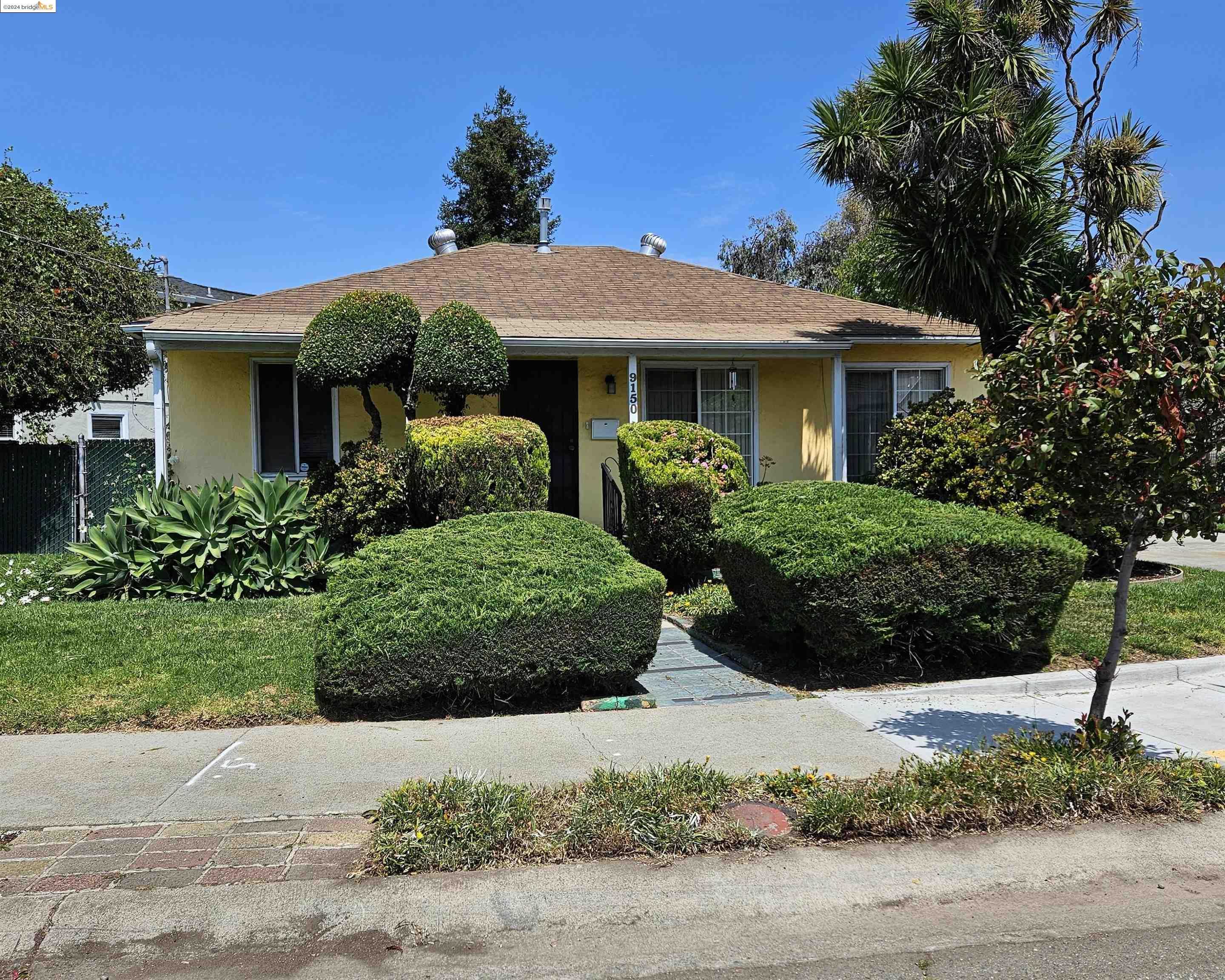
Coliseum Industrial, Oakland, CA
(1) Limited data(2) City data used
Keywords: Warehouse and logistics hub, Airport-freeway access, Coliseum-edge district
Coliseum Industrial is exactly what the name says: the working district north and west of the Oakland Coliseum, wedged between the stadium complex, Hegenberger Road, and the rail lines along San Leandro Street. This is warehouse and logistics Oakland, a flat stretch of distribution buildings, auto and trucking yards, and light manufacturing strung along I-880 with direct freeway and airport access. Housing is essentially absent inside the boundary. ... See Full Page
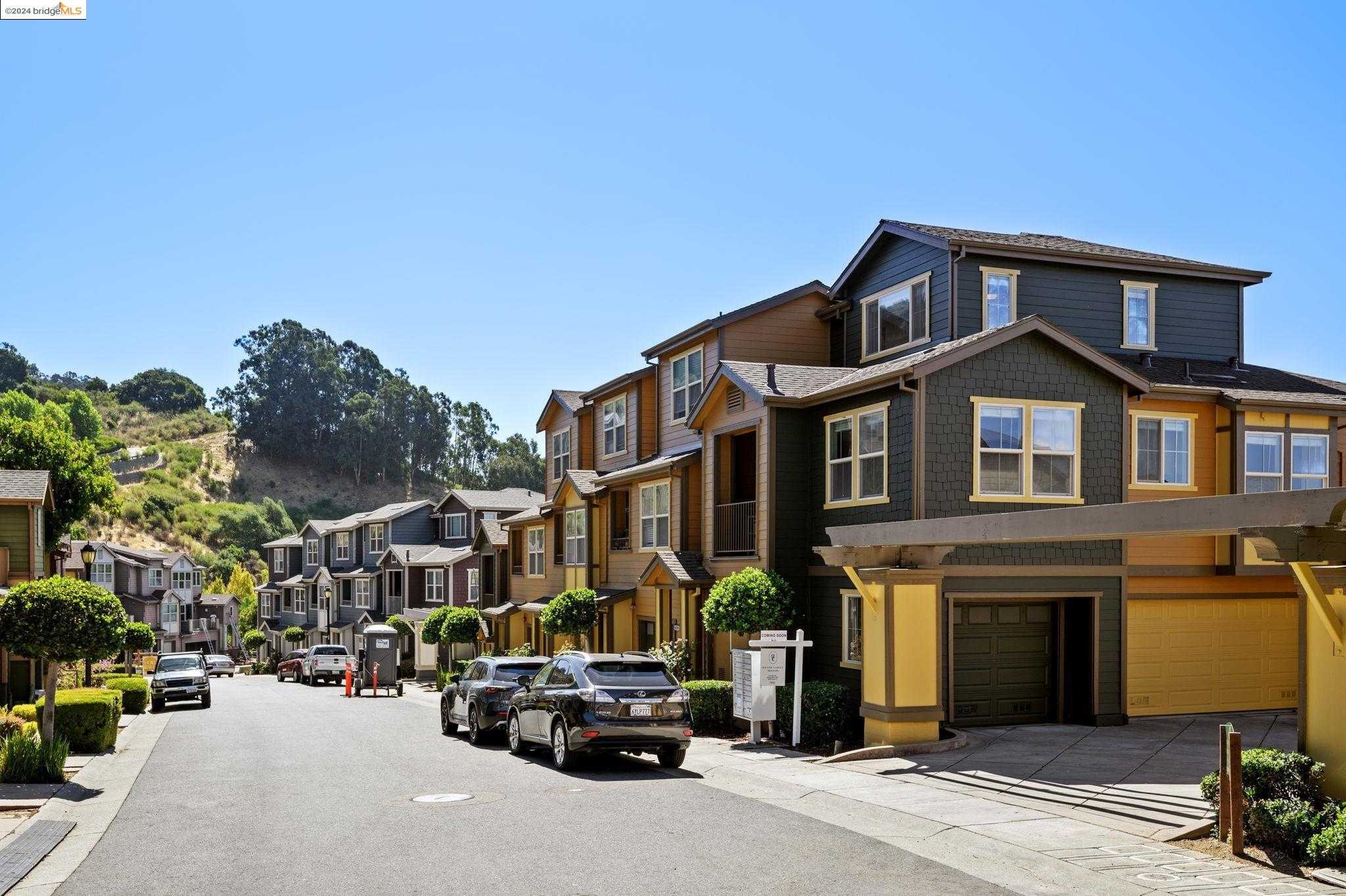
Caballo Hills, Oakland, CA
(2) City data used
Keywords: Leona Canyon trailheads, Ridgetop bay vistas, Rural-quiet streets
Caballo Hills feels more like foothill ranch country than a city neighborhood, a rugged swath of ridgeline east of Highway 13. Steep lanes branch off Skyline and Campus Drive, and small clusters of custom contemporaries, 1970s ranches, and a few gated estates perch on large, irregular parcels. Most homes back directly onto Leona Canyon's oak and chaparral, so living rooms open to canyon or bay panoramas and the night skies stay genuinely dark. ... See Full Page
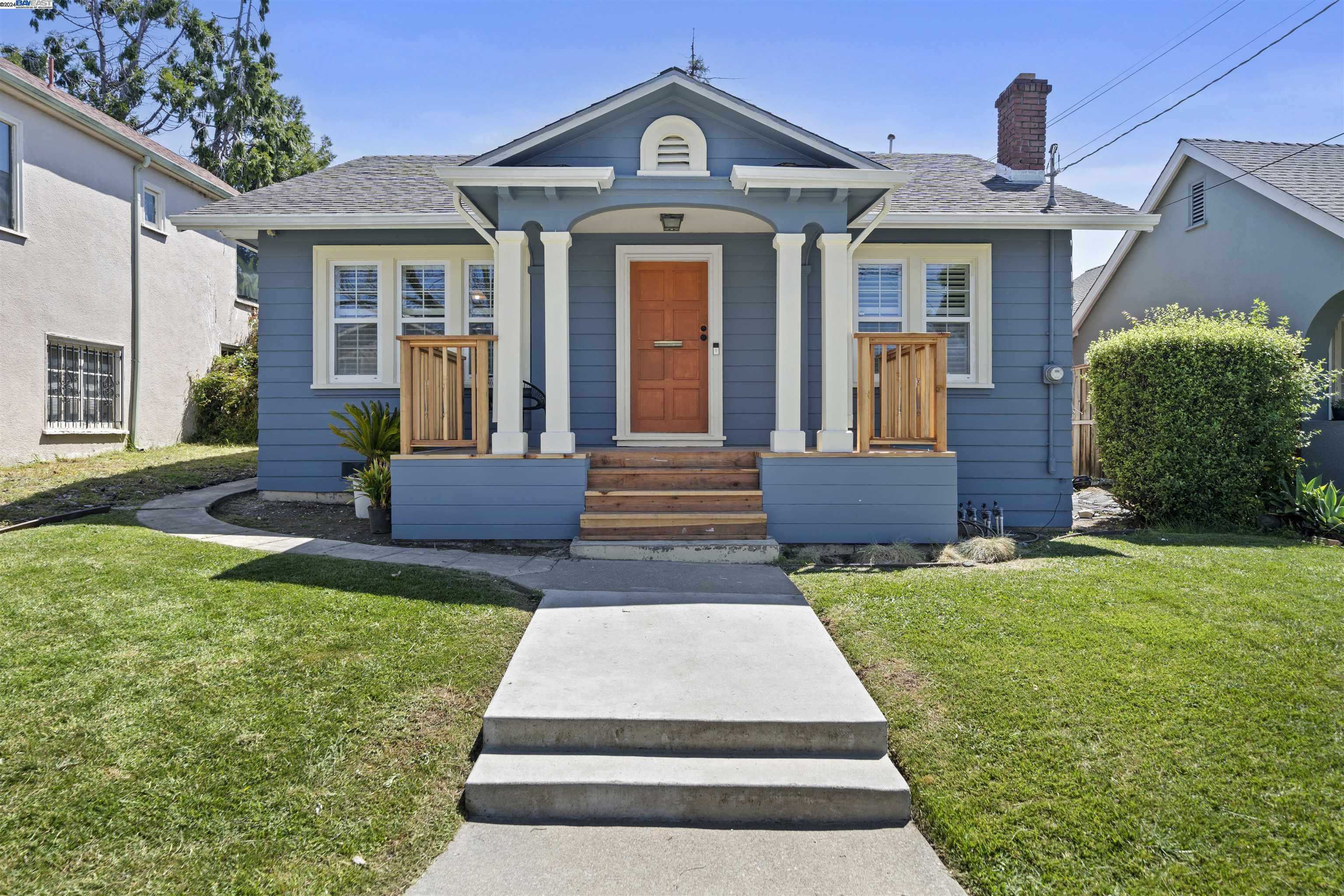
Melrose Heights, Oakland, CA
(2) City data used
Keywords: Starter-era bungalows, Close to Fairfax shops, Easy street parking
Melrose Heights sits on a compact triangle of gently sloping streets bounded by Fairfax and Kingsland. The housing is almost entirely 1920s-to-40s bungalows and cottage-style duplexes on narrow, rectangular lots. Garages face the street or have been converted to extra living space, so cars often line the curbs, and while most blocks keep a few mature trees, many front yards are paved for parking, giving the neighborhood an open, sun-baked look. ... See Full Page
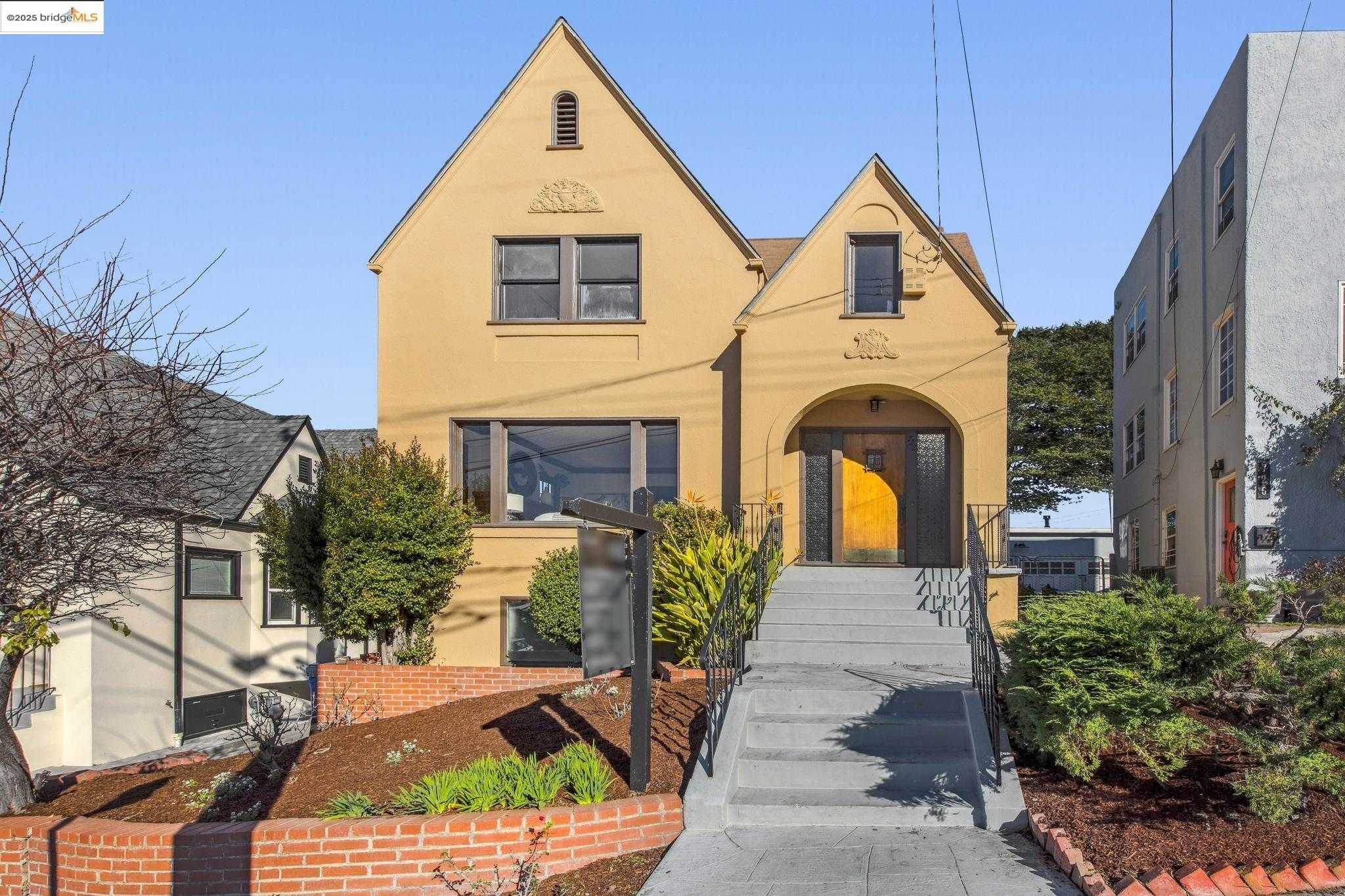
Cleveland Heights, Oakland, CA
(2) City data used
Keywords: Lakefront hillside views, Cleveland Cascade steps, Mix of bungalows & flats
Cleveland Heights climbs the hill above Lake Merritt's southeastern shore, mixing early-1900s bungalows with mid-century apartment buildings that step up the slope for water and skyline views. Streets curve to match the terrain, and mature magnolias soften the blend of tidy single-family homes and taller brick or stucco flats. A few older buildings show deferred maintenance, but most blocks hold a cohesive, well-kept look and stay walkable on continuous sidewalks. ... See Full Page
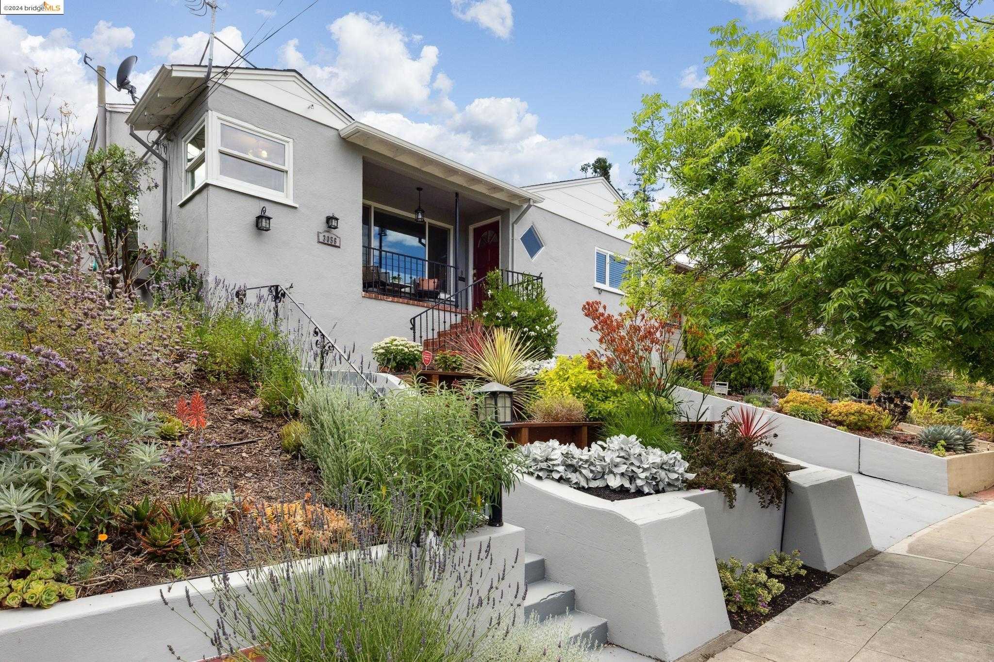
Sheffield, Oakland, CA
(2) City data used
Keywords: Creekside hillside pocket, Mid-century ranch loops, Quick freeway access
Carved into a low hillside north of San Leandro Creek, Sheffield follows a looping pattern of Revere Avenue and short spurs like Covington and Marlow. Most housing dates to the late 1950s, single-story ranches and split-levels with broad rooflines, attached garages, and modest front lawns. Lots are irregular and slope toward the creek, so a few back decks catch peeks of the southern hills while homes closest to I-580 trade views for flatter yards. ... See Full Page
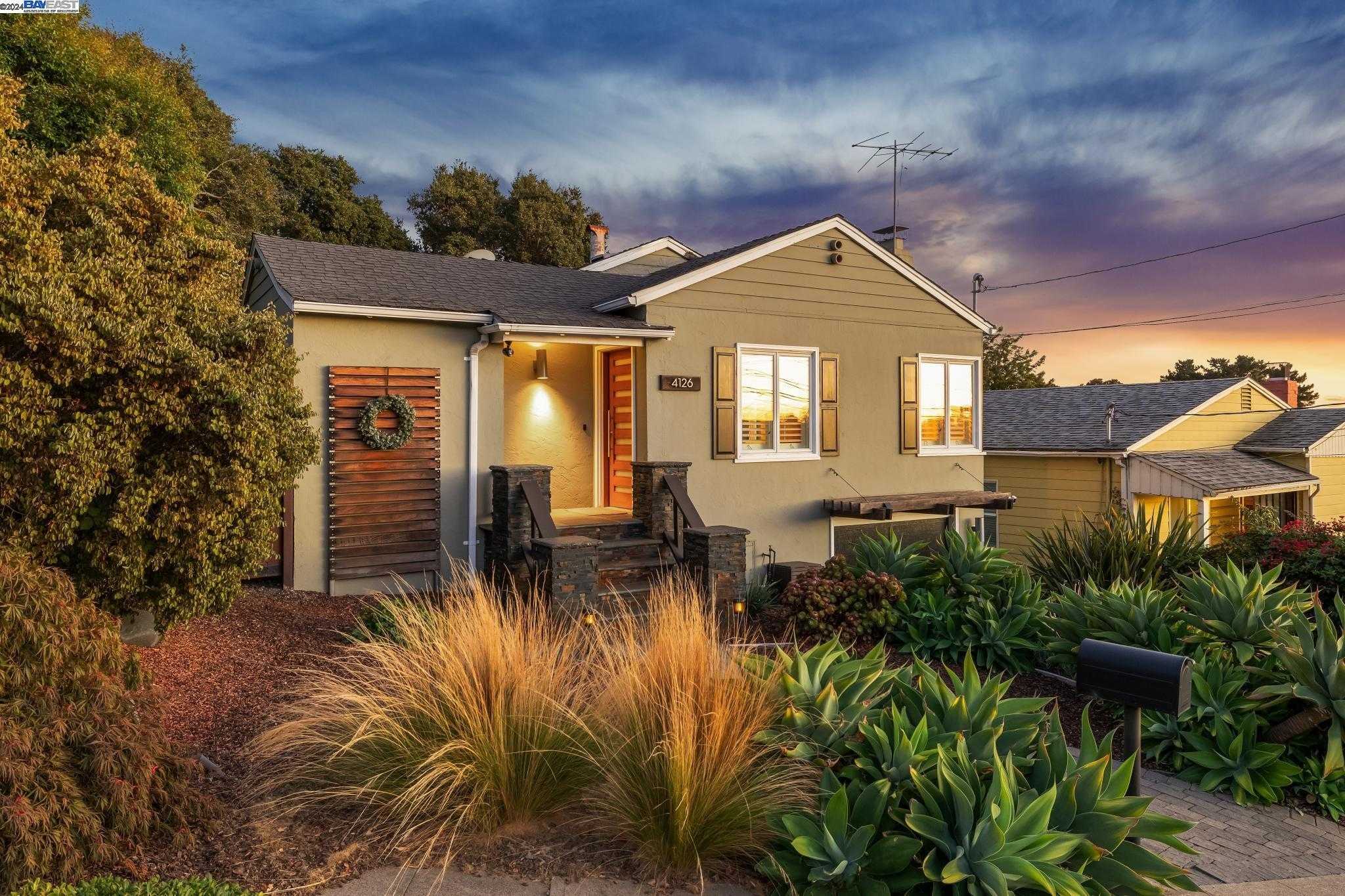
Leona Heights, Oakland, CA
Keywords: Leona Canyon trail access, Hillside mid-century homes, Fast Highway 13 link
Leona Heights climbs steeply from Highway 13 toward Skyline, wrapping around oak-studded ravines and the headwaters of Leona Canyon. The homes are mostly 1950s-to-70s ranches and split-levels tucked into switchback lanes off Mountain Boulevard and Campus Drive, with a pocket of newer townhomes near Monte Vista Villas at the southern tip. Lots are irregular and often upslope, so decks and living rooms aim west for filtered sunsets while garages sit at street level on the narrow, winding roads. ... See Full Page
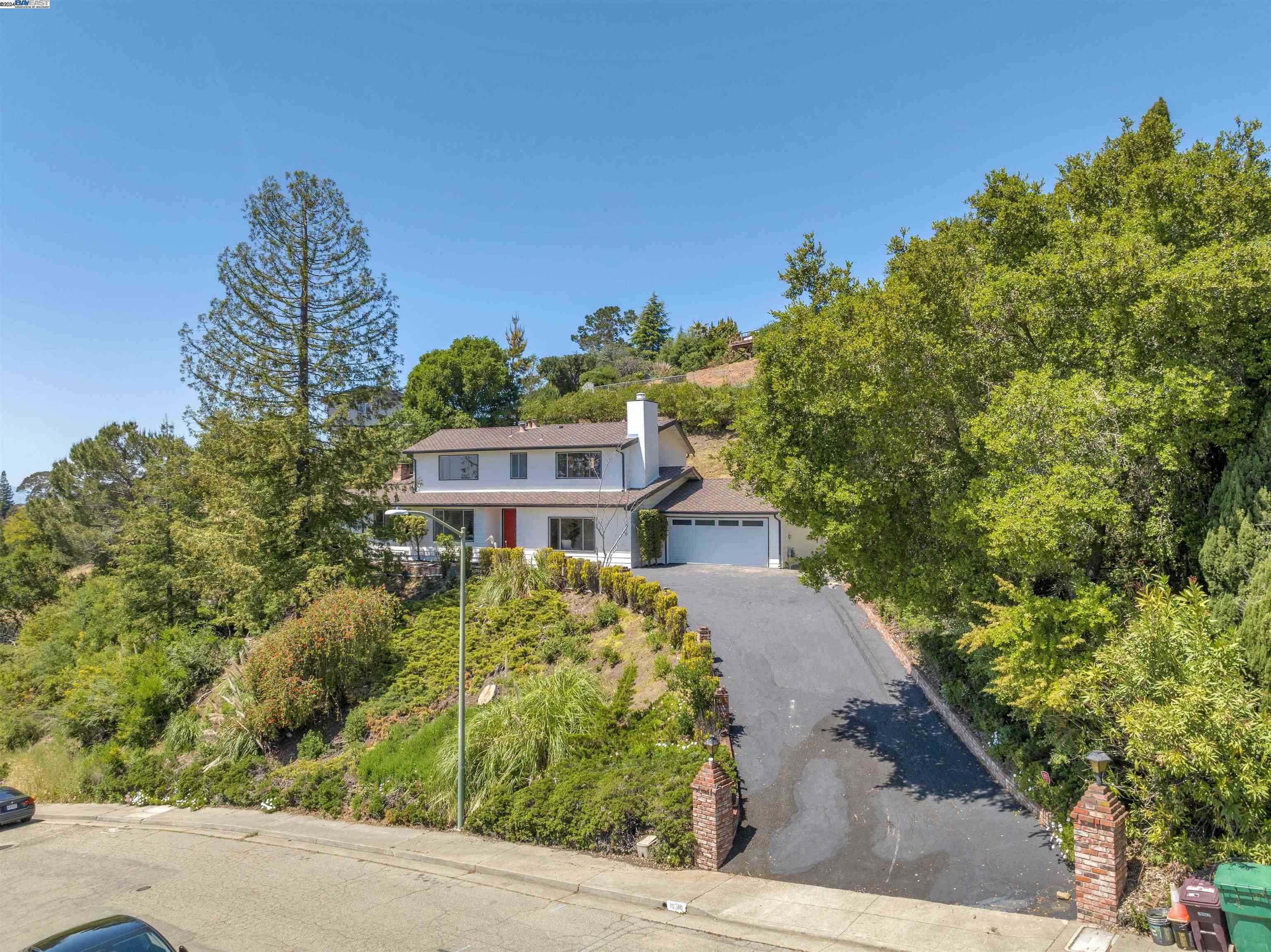
Sequoyah, Oakland, CA
Keywords: Hillside country-club vibe, Trailheads in every direction, Roomy wooded lots
Sequoyah spreads across rolling hills at Oakland's southeastern edge, with winding streets that climb between Leona Canyon to the north and Knowland Park and the Oakland Zoo to the south. Homes range from 1950s ranches on broad, sloping parcels to gated custom builds tucked above the private Sequoyah Country Club fairways. Many lots back onto eucalyptus groves or chaparral slopes, and the higher elevations frame wide views over the San Leandro Reservoir and the bay. ... See Full Page
Chabot Park, Oakland, CA
Keywords: Trail-edge ranch lots, Oakland Zoo nearby, Ridge-top quiet
Chabot Park is a hillside enclave strung along Malcolm Avenue and its spurs, tucked between Knowland Park's grasslands and the wooded slopes above Lake Chabot Golf Course. The housing is mostly 1950s through 70s ranches and split-levels on wide parcels, many angled toward canyon or bay glimpses. Lots run larger than in the Oakland flats, with a patchwork of native oaks, drought gardens, and the occasional paddock or workshop, and the roads curve with the terrain under minimal street lighting. ... See Full Page
Temescal, Oakland, CA
(2) City data used
Keywords: Telegraph food corridor, Historic Craftsman streets, Easy BART access
Temescal stretches from 40th to 51st between Broadway and the Grove Shafter freeway, sloping gently west toward the BART tracks. The residential blocks are a quilt of 1900s Craftsman bungalows, Victorians split into duplexes, and a few mid-century apartment courts. Mature plane and magnolia trees shade most sidewalks, and front gardens range from drought-tolerant landscaping to exuberant cottage flowers, giving the neighborhood a tidy but eclectic look. ... See Full Page
Lincoln Highlands, Oakland, CA
Keywords: Temple garden overlook, Seasonal Greek Festival, Peralta Creek pocket park
Lincoln Highlands sits on a gentle hillside above Park Boulevard, its streets bending around the manicured grounds of the Oakland California Temple. Most homes date from the late 1930s through mid 1960s, a mix of classic California bungalows, split-level ranches, and a few newer infill builds, many with west-facing decks that catch filtered bay and downtown views. Mature magnolias and redwoods give even the wider avenues a leafy, tucked-away feel. ... See Full Page
Redwood Heights, Oakland, CA
Keywords: Community rec center, Mixed bungalow streets, Hillside bay glimpses
Redwood Heights climbs from MacArthur Boulevard toward Skyline, its gridded lower blocks giving way to winding hillside lanes shaded by mature oaks and redwoods. The housing is mostly 1930s-to-50s bungalows and split-level ranches, many updated with fresh paint and drought-tolerant front yards. Higher streets catch filtered bay sunsets, while homes nearer the freeway trade views for flatter lots and easier walkability. ... See Full Page
Hiller Highlands, Oakland, CA
(2) City data used
Keywords: Ridgeline Bay views, Post-fire modern townhomes, Private hilltop club
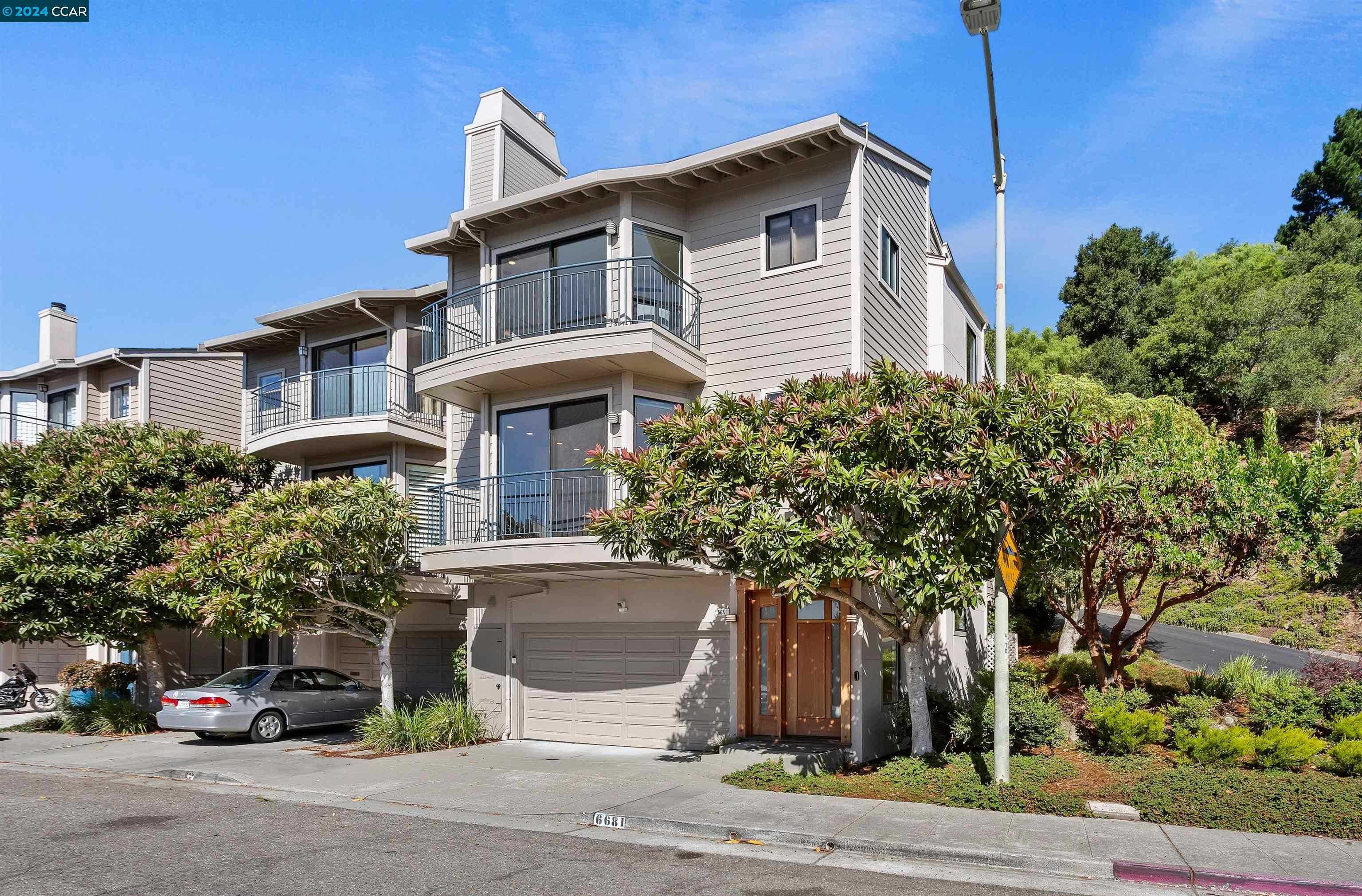
Hiller Highlands perches on a ridgeline just above Highway 24, a compact hillside enclave wrapped around Hiller Drive and Great View Drive. Steep streets curve along the slope, and most homes are terraced townhouses or contemporary single-family builds positioned to capture unobstructed bay and sunset views. Lots are modest, but the multi-story designs and large decks make the most of the vertical terrain. ... See Full Page
Brushrod, Oakland, CA
Keywords: Bushrod Park hub, Flat bike-friendly grid, Telegraph dining walkability
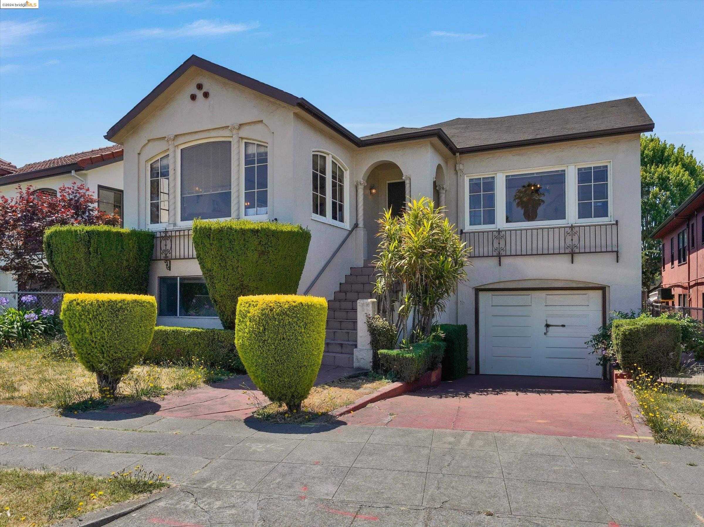
Bushrod fills a flat rectangle of North Oakland between Telegraph and Adeline, its northern edge nudging the Berkeley line. Compact Craftsman bungalows, 1920s stucco duplexes, and a few small apartment buildings line tree-shaded blocks like Dover, Shafter, and Raymond. Porches sit close to the sidewalk, which gives the neighborhood an open, sociable feel, even with Highway 24 rumbling along just to the south. ... See Full Page
Shephard Canyon, Oakland, CA
Keywords: Canyon rail-trail access, Wooded hillside seclusion, Quick drive to Montclair
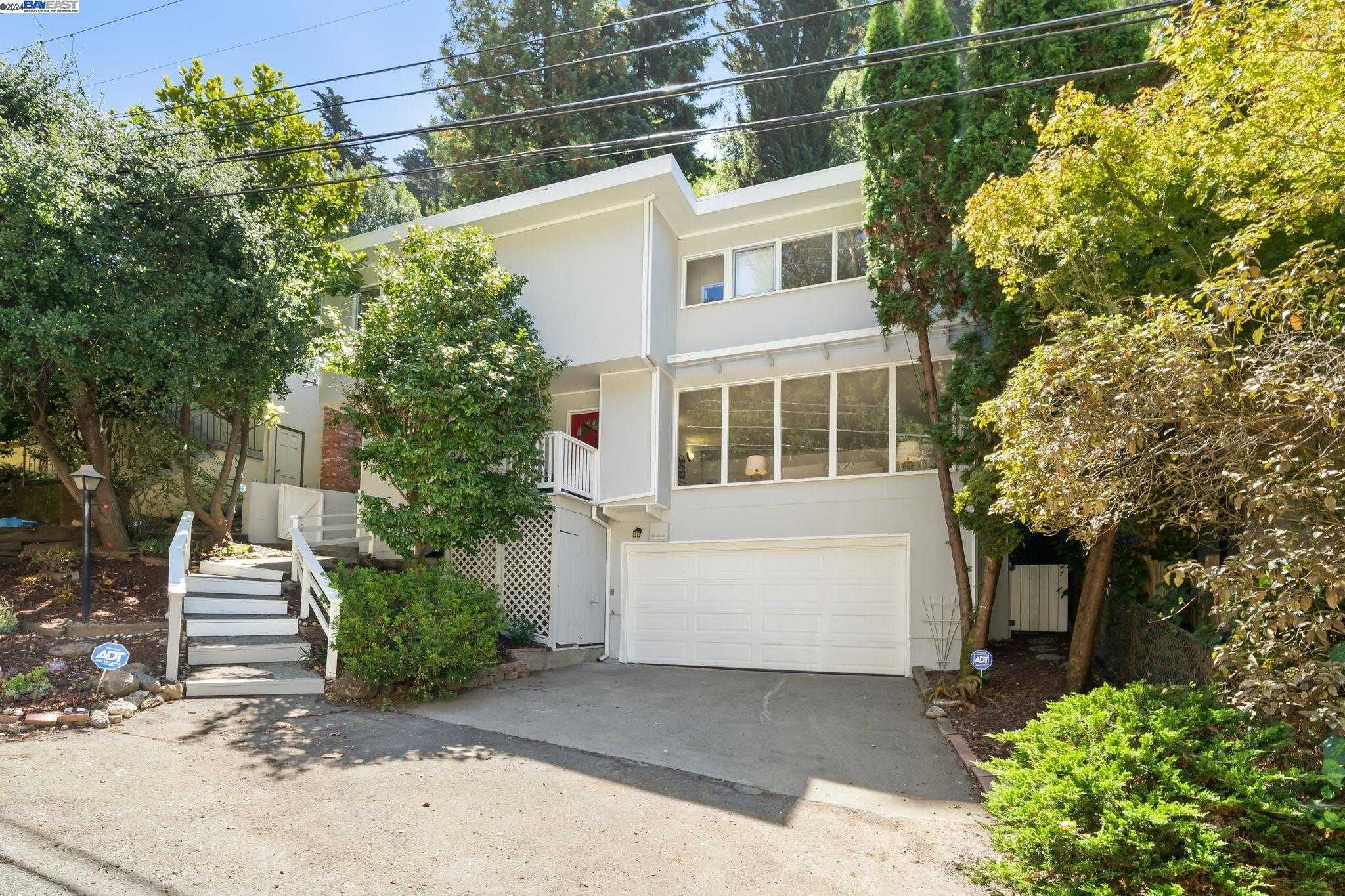
Shepherd Canyon follows a narrow, wooded ravine that climbs northeast from Highway 13 toward Skyline. Homes line Shepherd Canyon Road and perch on zigzagging spurs like Chelton and Banning, hugging steep, tree-covered slopes. The architecture ranges from 1940s chalets and mid-century contemporaries to a sprinkling of newer custom builds, nearly all positioned for filtered canyon or bay peeks through towering redwoods and eucalyptus. ... See Full Page
Glenview, Oakland, CA
Keywords: Park Boulevard eateries, Bungalow-lined blocks, Creekside Dimond Park
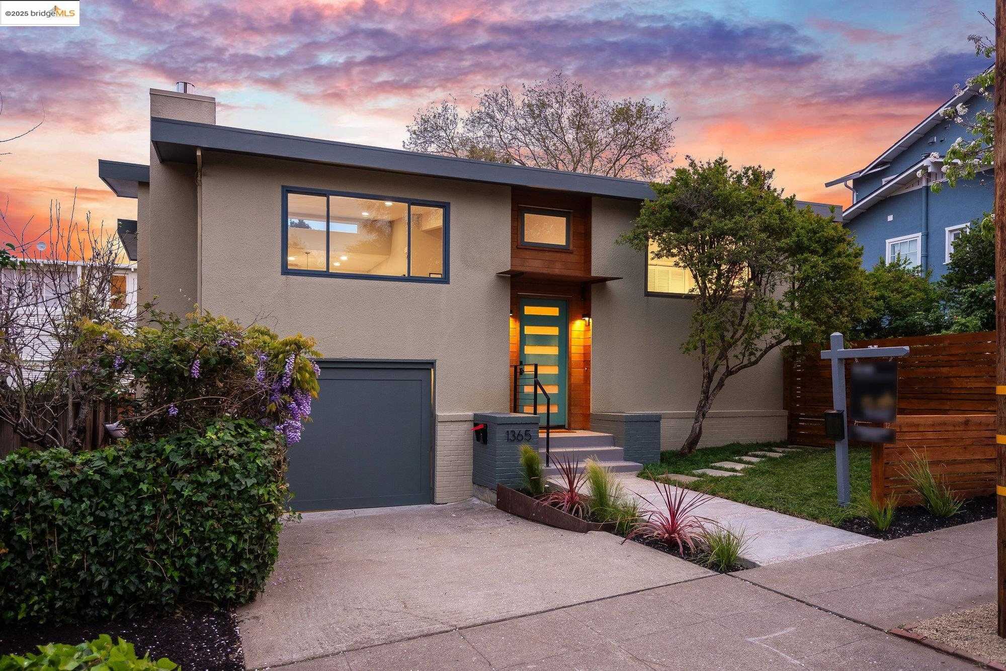
Glenview fans out along Park Boulevard between Trestle Glen Road and MacArthur, with quiet cross-streets like Randolph, Everett, and Arden running across a gentle slope. One- and two-story Craftsman bungalows dominate, most built in the 1920s and still wearing deep porches, clinker-brick accents, and tidy drought gardens. Plane trees and sycamores form a shady canopy that softens the hum of I-580 a block to the south. ... See Full Page
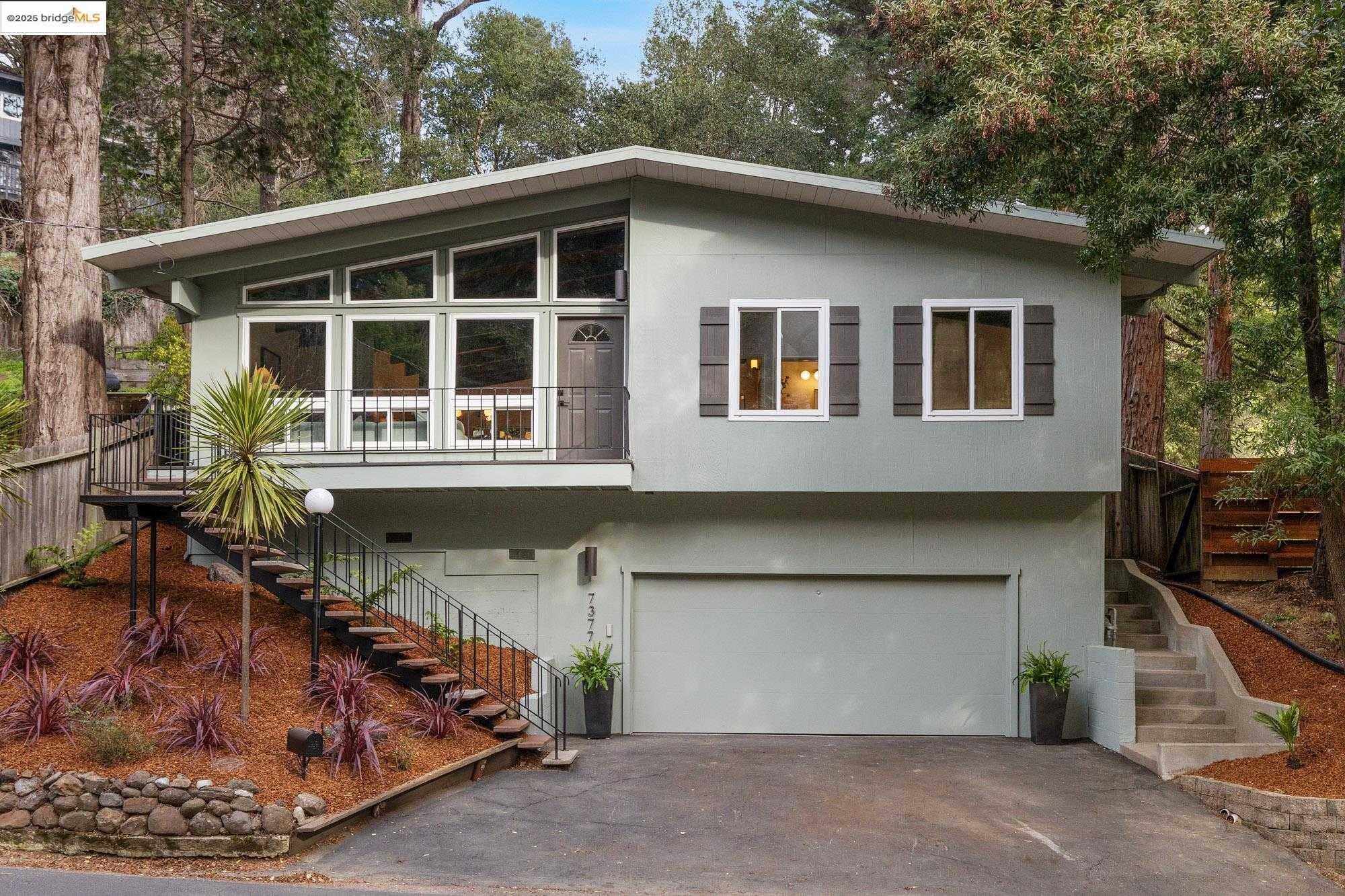
Forestland, Oakland, CA
Keywords: Redwood-lined canyon views, Trailhead-at-your-door, Secluded hillside roads
Forestland is a slender, wooded ridge along Skyline Boulevard above Montclair, running north toward Sibley Volcanic Regional Preserve. Steep lanes like Sobrante Road and Manzanita Drive twist through towering redwoods and eucalyptus, with homes on stilts or terraced into the slope. The architecture spans 1960s split-levels to angular contemporary builds, many catching filtered bay or canyon views through the tree canopy. ... See Full Page
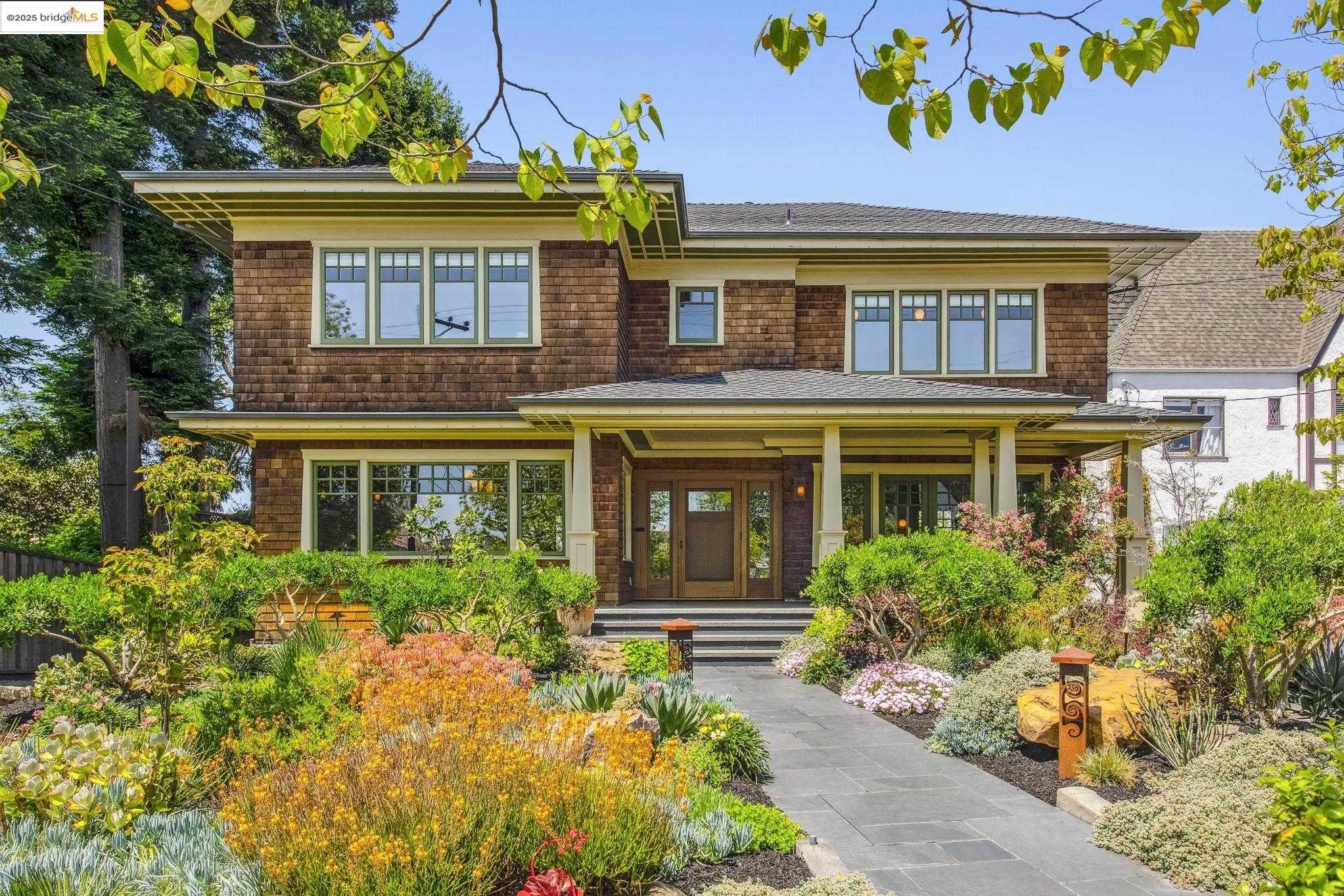
Lakeshore, Oakland, CA
(2) City data used
Keywords: Walkable retail strip, Lake Merritt nearby, Grid of classic bungalows
Lakeshore rises gently from the I-580 frontage and Lakeshore Avenue toward the Piedmont border, a neat grid of shaded blocks like Valant Place, Mandana Boulevard, and Trestle Glen Road. Craftsman bungalows, 1920s Mediterranean revivals, and modest apartment buildings share small lots under mature sycamores and palms, and the terrain climbs just enough to give upper blocks glimpses of Lake Merritt and the downtown skyline. ... See Full Page
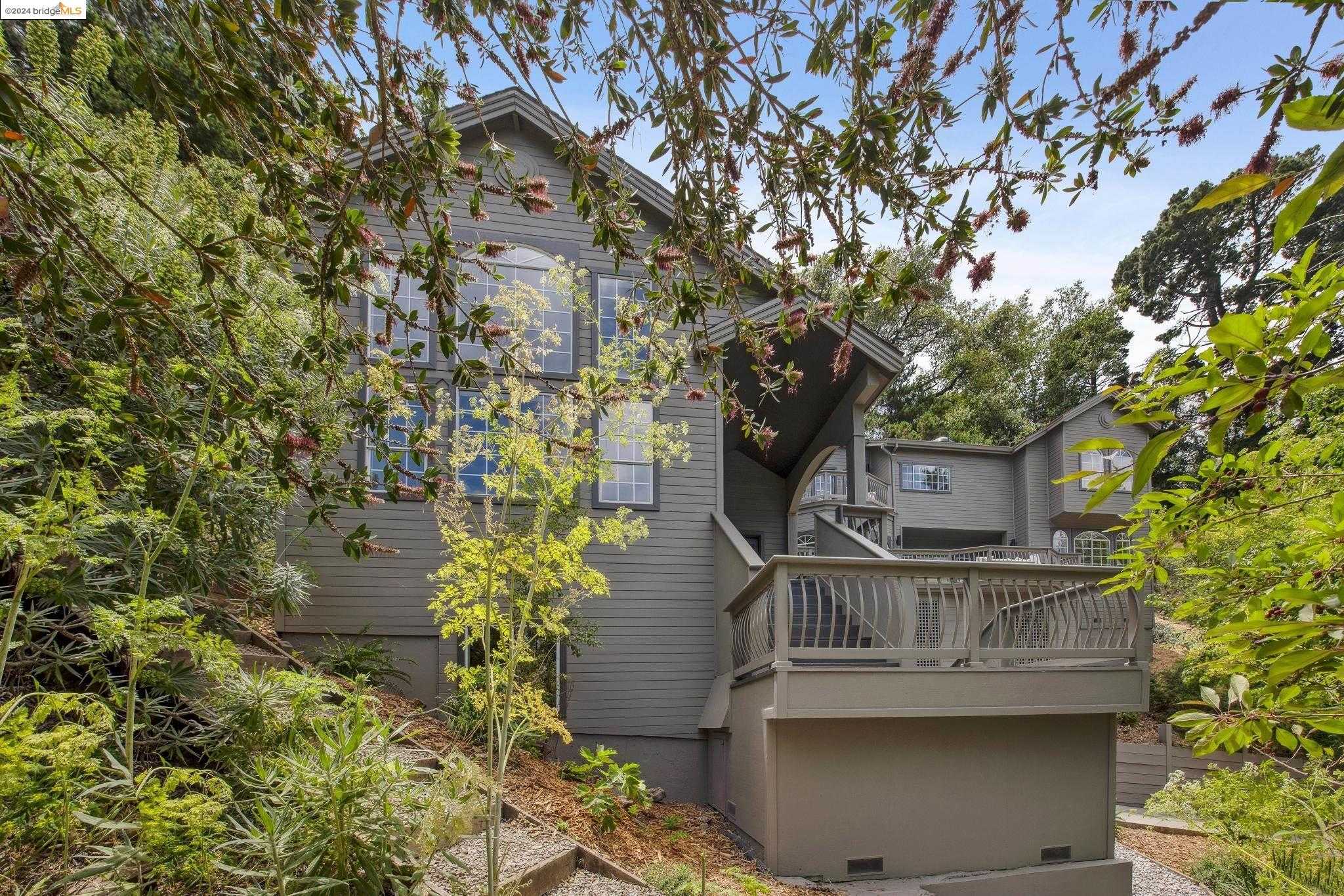
Piedmont Pines, Oakland, CA
Keywords: Redwood trail access, Ridgeline vistas, Spacious wooded lots
Tucked high in the Oakland hills, Piedmont Pines spreads across a forested ridgeline where homes nestle among redwoods and bay laurels. Winding roads curve with the terrain, and generous parcels give most houses roomy setbacks and filtered views toward San Francisco Bay or Palo Seco Canyon. The architecture is an eclectic mix of mid-century ranches, chalet-style A-frames, and newer contemporaries, many upgraded with wide decks to catch the sunset light. ... See Full Page
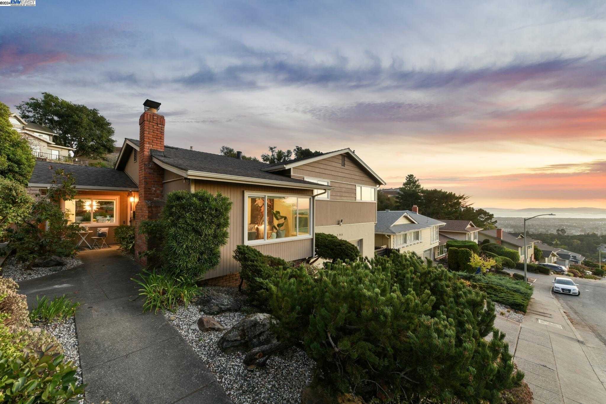
Crestmont, Oakland, CA
(2) City data used
Keywords: Redwood Park trailhead, Ridge-top quiet, Mid-century view homes
Crestmont sits high on Redwood Road where the ridge flattens before dropping into Redwood Regional Park. Streets like Kimberlin Heights and Crestmont Drive trace the contour of the hill, with homes stepping down the slope behind tidy retaining walls and mature Monterey pines. The architecture skews mid-century ranch and split-level, though view-deck remodels are increasingly common, and a number of lots back directly onto parkland so the backyards simply roll into open space. ... See Full Page
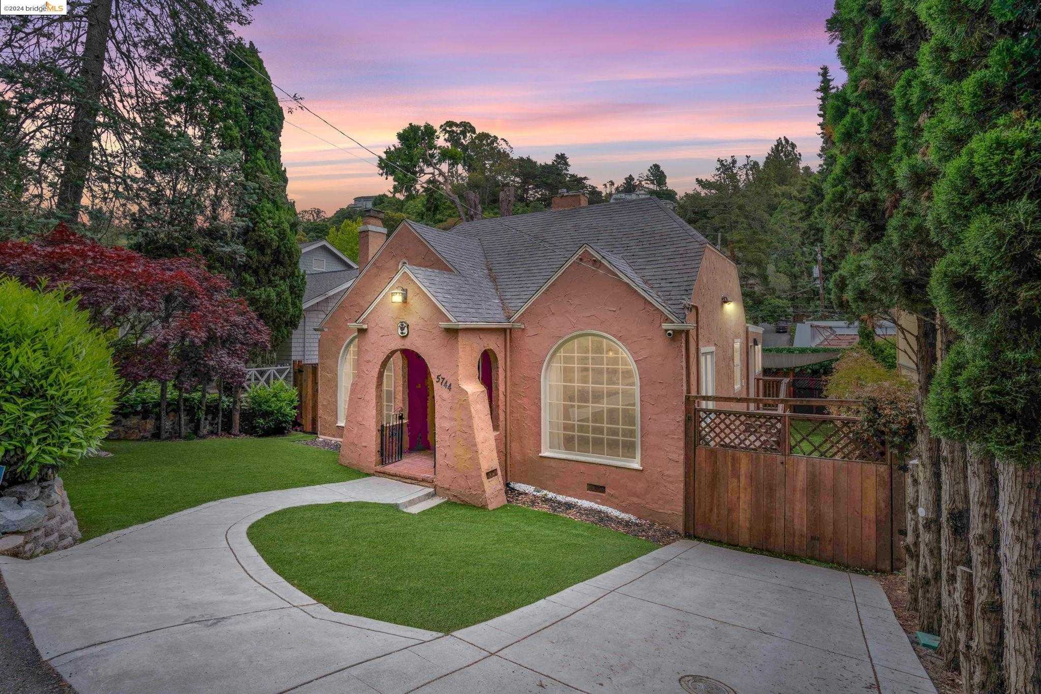
Merriwood, Oakland, CA
Keywords: Lake Temescal shoreline, Sibley trailheads nearby, Secluded hillside haven
Perched on the wooded slope between Lake Temescal and the Skyline ridgeline, Merriwood feels like a pocket retreat carved into the Oakland hills. Curving lanes hide under dense canopies of oak and redwood, and homes range from 1930s cottages with stone chimneys to angular contemporary rebuilds that frame filtered bay sunsets. Lots are generous but irregular, so most houses sit staggered for privacy and hillside views rather than street-front display. ... See Full Page
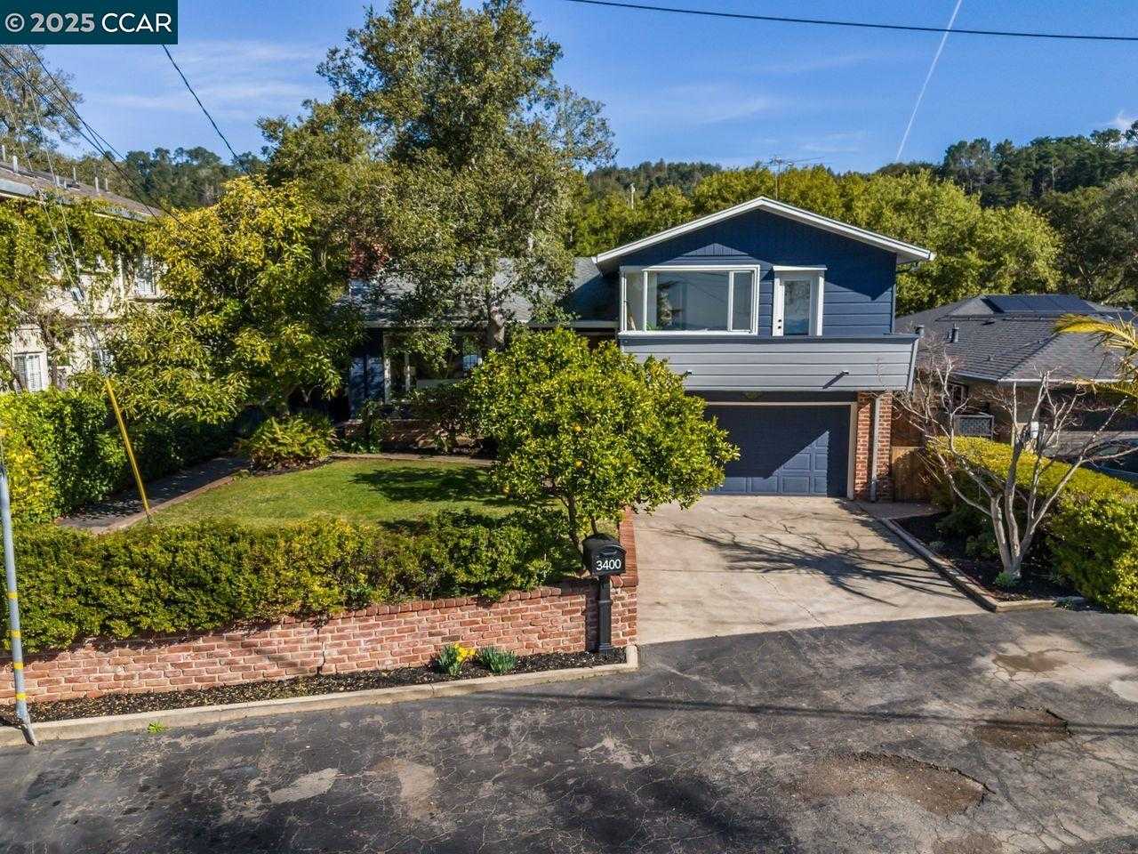
Woodminster, Oakland, CA
(2) City data used
Keywords: Redwood trail access, Amphitheater summer shows, Mid-century hillside homes
Woodminster hugs the north face of Joaquin Miller Park, where winding streets like Sanborn and Butters weave through second-growth redwoods and eucalyptus. Homes sit on irregular, downslope lots, many built in the 1950s through 70s when mid-century lines, clerestory windows, and broad view decks were in vogue. A handful of newer contemporaries now peek above the tree canopy, but the neighborhood still reads more mountain retreat than suburban tract. ... See Full Page
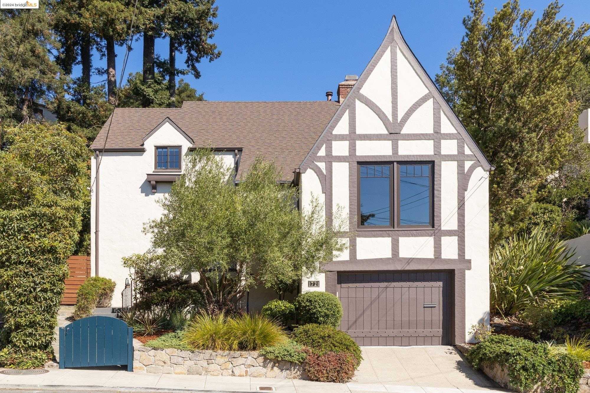
Oakmore, Oakland, CA
Keywords: Creekside canyon trails, Storybook hillside homes, Quick Park Boulevard access
Oakmore sits on a leafy hillside just south of Highway 13, spreading out from curving Leimert Boulevard and its offshoots like Carter and Hoover. Many streets follow the contour of Sausal Creek's canyon, so the plots are irregular and often terraced. Architecture skews 1920s-to-40s Storybook and Mediterranean, clinker-brick entries, turrets, and tile roofs, alongside a handful of mid-century ranches, and mature redwoods, oaks, and liquidambars line the road edges to give even the wider blocks a sheltered, hidden feel. ... See Full Page
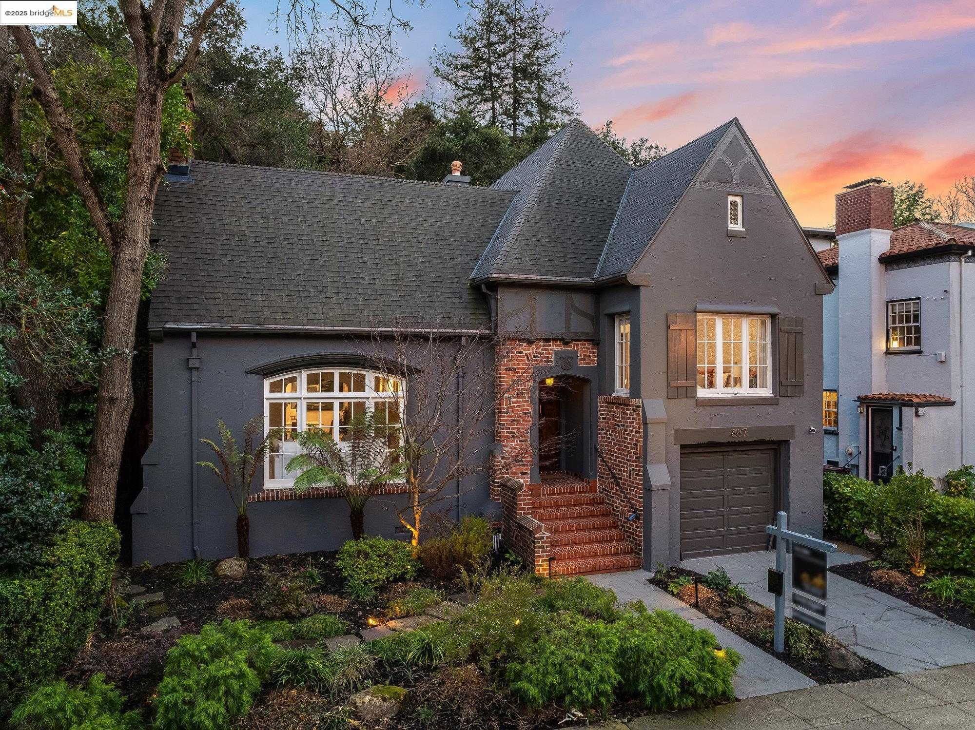
Trestle Glen, Oakland, CA
Keywords: Historic hillside homes, Walk to Lakeshore shops, Leaf-canopied winding lanes
Graceful, winding streets radiate out from historic Trestle Glen Road, climbing a shallow hillside lined with well-kept 1920s Mediterraneans, Tudor Revivals, and shingled Craftsman bungalows. Mature camphor and sycamore trees arch over the roadway, and many lots retain original stone retaining walls and period lamp posts, giving the neighborhood a cohesive, storybook feel even as rooflines peek over the leafy canopy toward Lake Merritt. ... See Full Page
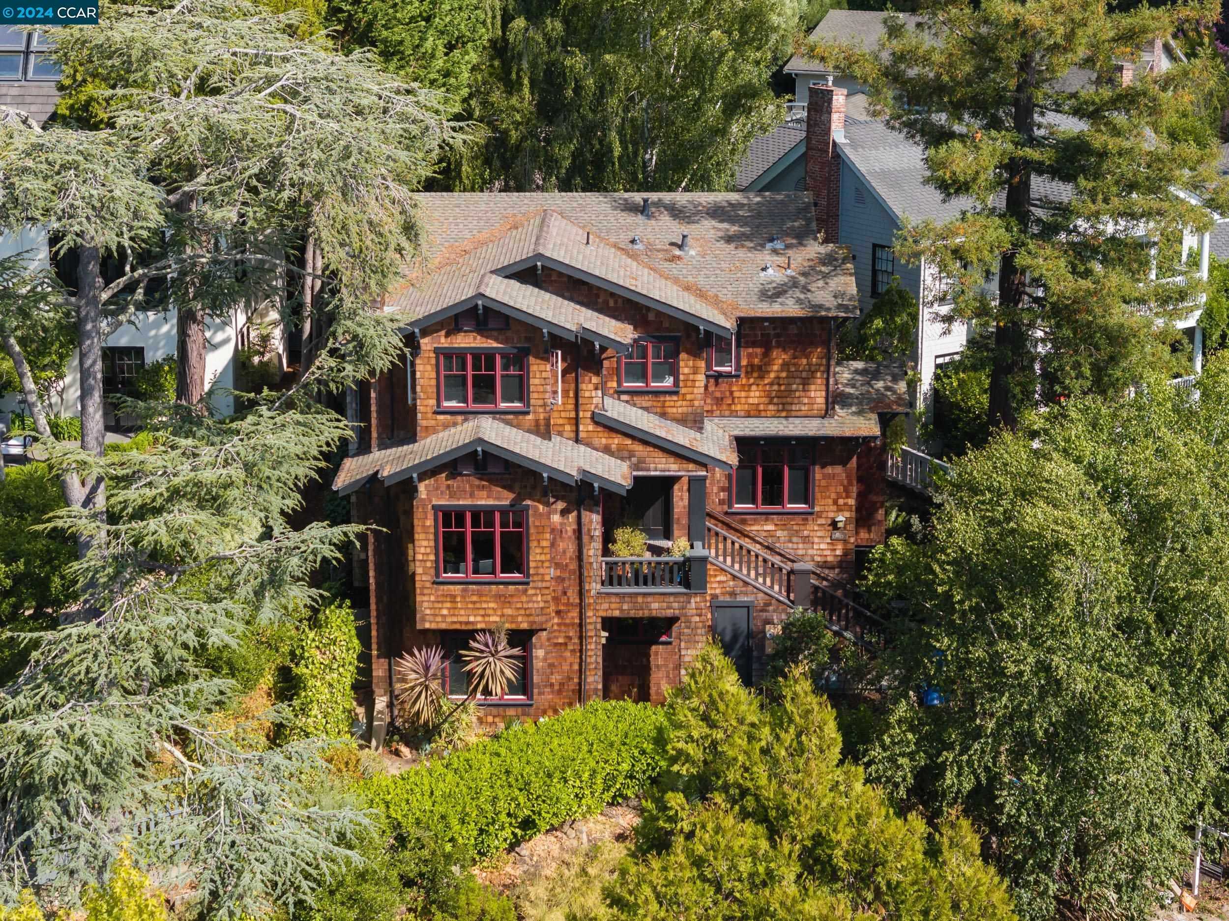
Montclair, Oakland, CA
Keywords: Village shops and cafés, Railroad trail network, Wooded hillside streets
Spread across wooded hillsides on both sides of Mountain Boulevard, Montclair unfolds along curving roads like Estates, Balboa, and Heartwood. Homes sit on sloped lots tucked into redwoods and live oaks, ranging from 1920s Storybook cottages and mid-century ranches to larger custom rebuilds with wide decks. The terrain rises quickly above the canyon floor, giving many properties filtered bay or canyon views and a sense of seclusion despite being minutes from Highway 13. ... See Full Page
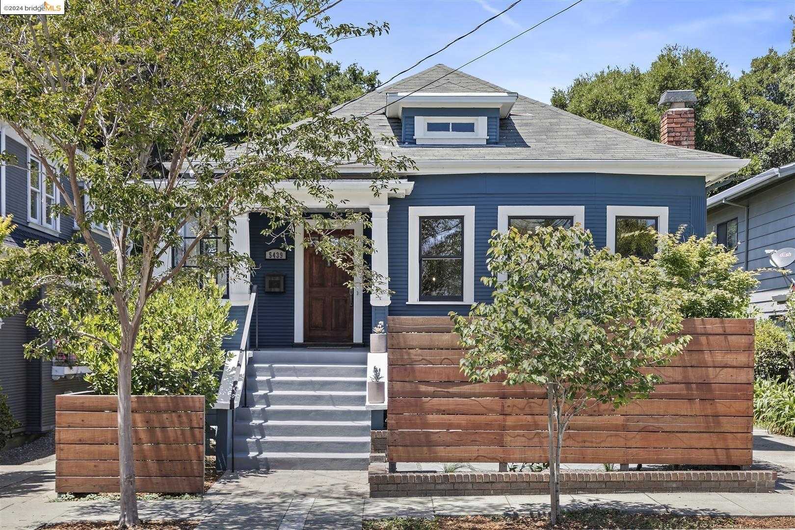
Shafter, Oakland, CA
Keywords: Rockridge BART walkability, Freeway-edge Craftsman blocks, Quick hop to Temescal eateries
Tucked into a wedge between Highway 24 and 51st Street, Shafter is a compact grid of early-1900s Craftsman and California bungalows on quiet lanes like Clifton, Miles, and Lawton. The terrain is flat, the front yards are small, and majestic magnolias give most blocks a leafy canopy that softens the hum of the freeway just a block north. The houses are well-kept but unpretentious, many with tapered porch columns, clinker-brick chimneys, and fresh drought-tolerant gardens. ... See Full Page
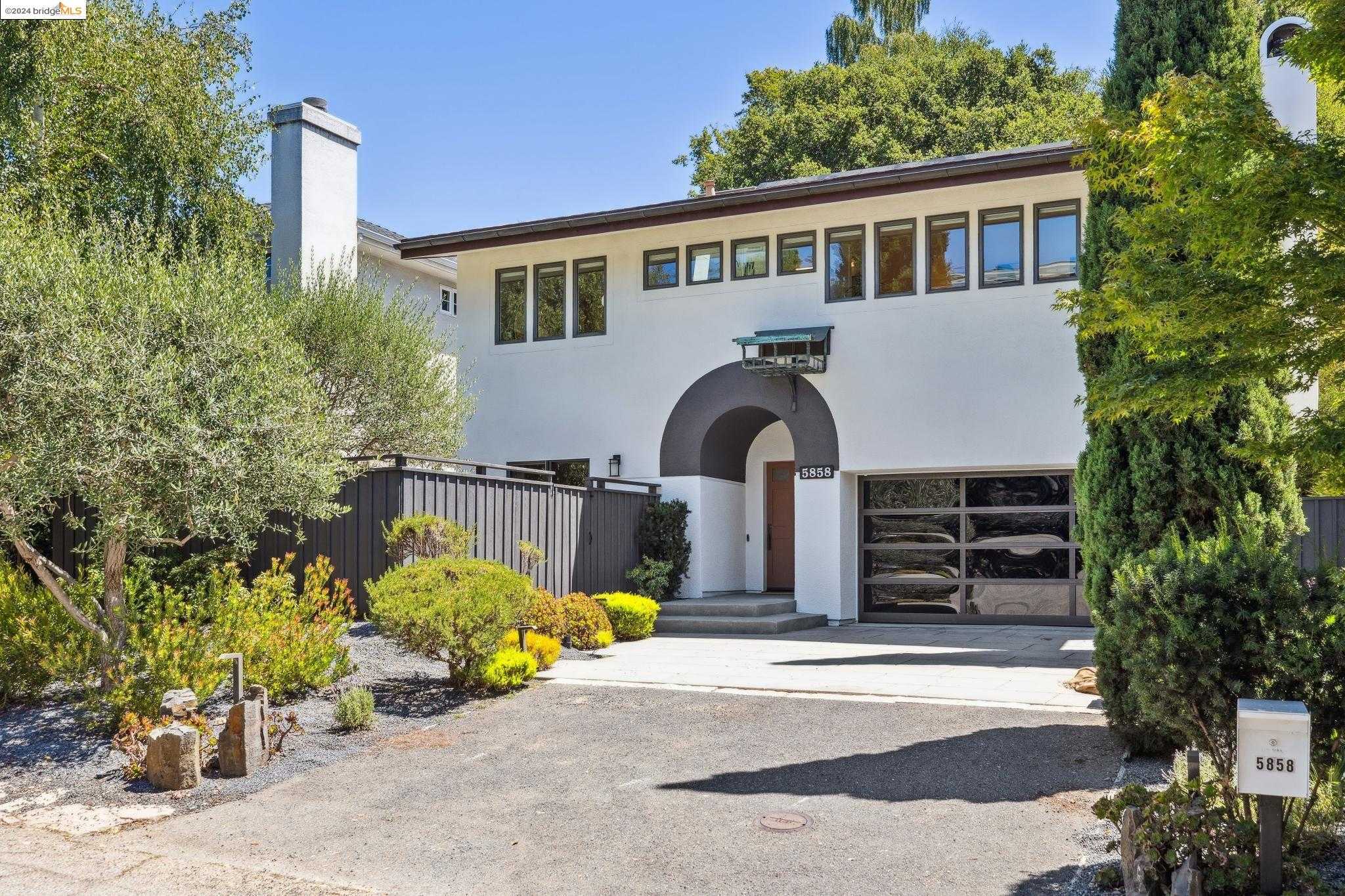
Glen Highlands, Oakland, CA
Keywords: Lake Temescal access, Wooded hillside serenity, Curving ridge-top roads
Glen Highlands occupies a narrow hillside wedge between Broadway Terrace and Thornhill Drive, starting just above Lake Temescal and climbing southeast toward Mountain Boulevard. Curving lanes like Florio, Tainui, and Glen Highlands Drive trace the slope, with homes perched on terraced lots under a canopy of redwoods and live oaks. The architecture is an eclectic mix, 1920s cottages and Storybook Tudors sharing the ridgeline with mid-century ranches and a handful of modern rebuilds, many angled for filtered bay or canyon views. ... See Full Page
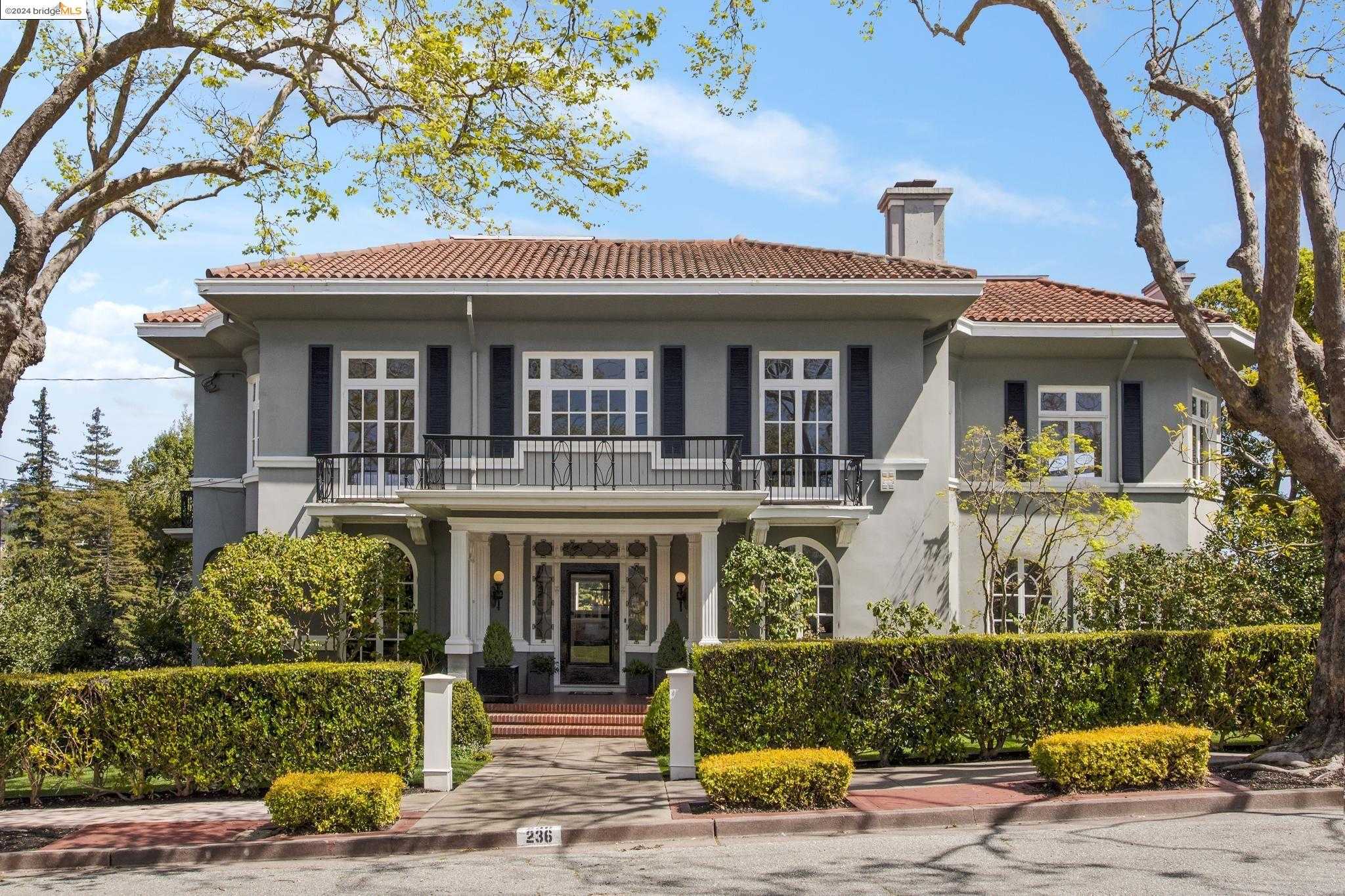
Fairview Park, Oakland, CA
(2) City data used
Keywords: Pocket-park playground, Easy BART commute, Craftsman bungalow blocks
Fairview Park sits on a flat triangular wedge between Alcatraz Avenue and Highway 24, framed by College Avenue on the east and Shattuck's sister streets on the west. One- and two-story Craftsman bungalows dominate streets like Dana, McAuley, and Colby, many with deep porches and mature plane trees. Small post-war apartment buildings appear near the southern edge, but the lots stay compact, giving the neighborhood a cozy, human scale that contrasts with the elevated freeway a block away. ... See Full Page
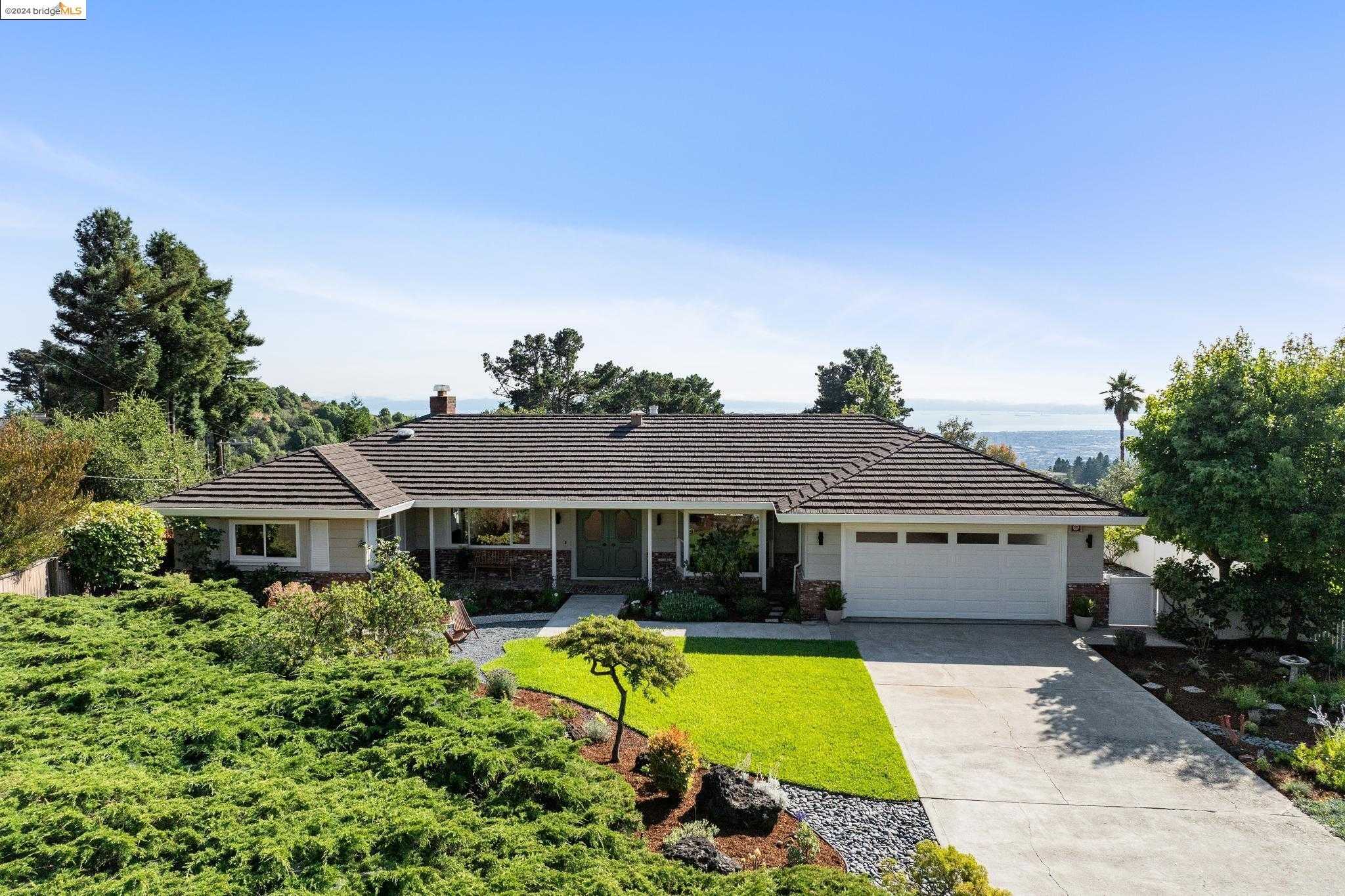
Skyline-Hillcrest Estates, Oakland, CA
(2) City data used
Keywords: Ridge-top redwood setting, Trailhead-doorstep living, Spacious hillside lots
Set high on the ridgeline along Skyline Boulevard, Skyline-Hillcrest Estates is a forested pocket where curving streets like Brookpark and Hillcrest break off into quiet cul-de-sacs. Homes sit on sizable, sloped parcels facing west toward the bay or east into redwood canyons, in styles ranging from late-1960s ranches to recent contemporary rebuilds. Towering conifers and native oaks dominate the streetscape, giving the area a distinctly mountain-neighborhood feel despite being inside Oakland's city limits. ... See Full Page
Mountain View Cemetery, Oakland, CA
(2) City data used
Keywords: Panoramic hilltop views, Quiet residential pocket, Garden-cemetery trails
Mountain View Cemetery dominates the landscape with 220 acres of rolling lawns, ornate mausoleums, and century-old monuments, but two small pockets of homes sit just outside its southern and southwestern gates. These houses, mostly 1920s cottages and mid-century bungalows, edge up to the cemetery's stone walls and enjoy west-facing decks and a rare run of uninterrupted greenery right across the street. ... See Full Page
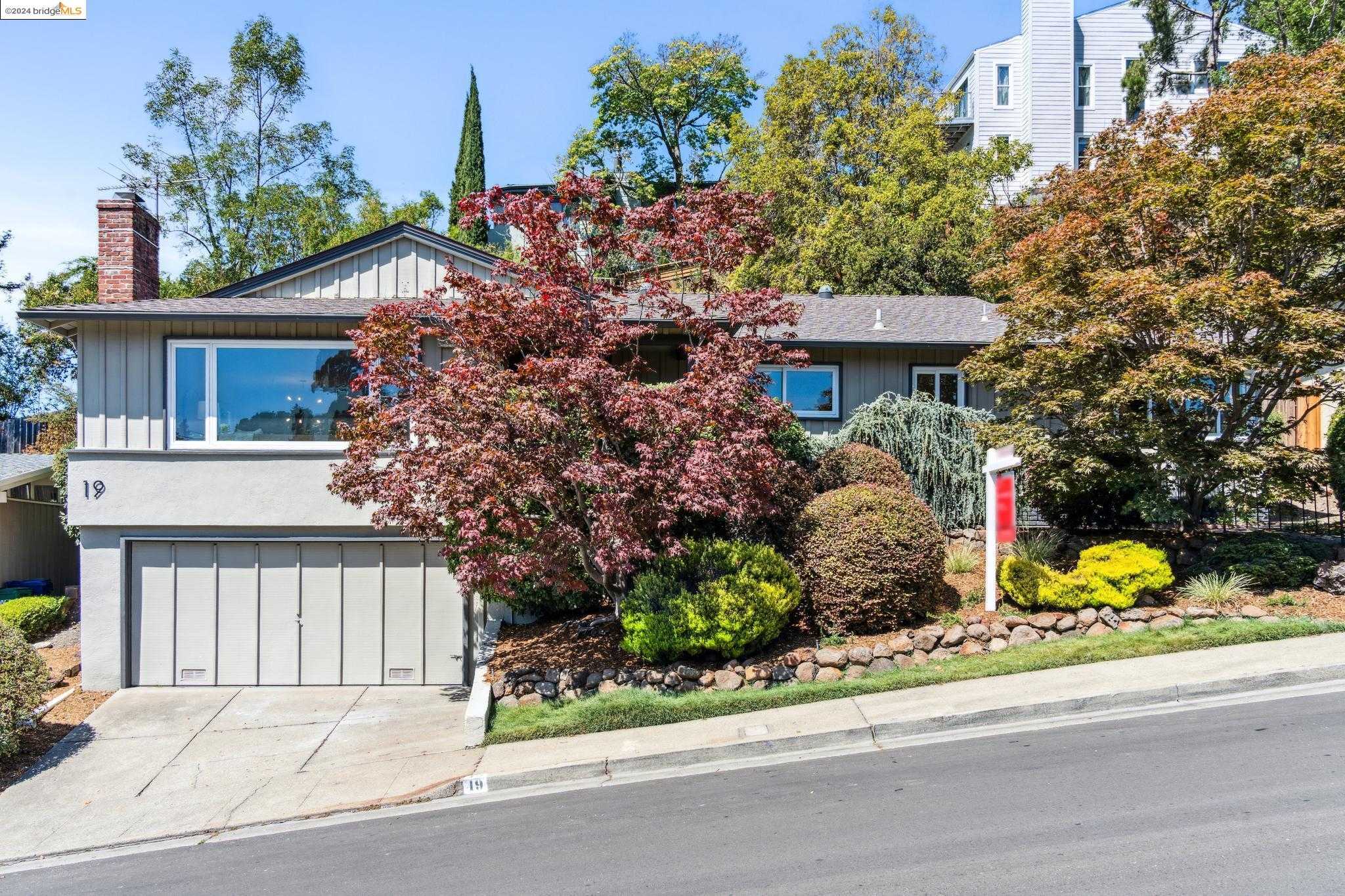
Upper Rockridge, Oakland, CA
Keywords: Bay-facing hillside views, Lake Temescal access, Blend of vintage and modern homes
Rising east of the Rockridge commercial district, Upper Rockridge climbs a broad hillside between Highway 24 and Mountain Boulevard. Curving arterials like Broadway Terrace and Buena Vista branch into narrow cul-de-sacs, and many lots are terraced to frame sweeping bay, lake, or canyon outlooks. The architecture is varied: original 1920s Tudors and Spanish Revivals stand beside larger contemporary homes rebuilt after the 1991 Oakland Hills firestorm, all set among mature eucalyptus and oaks. ... See Full Page
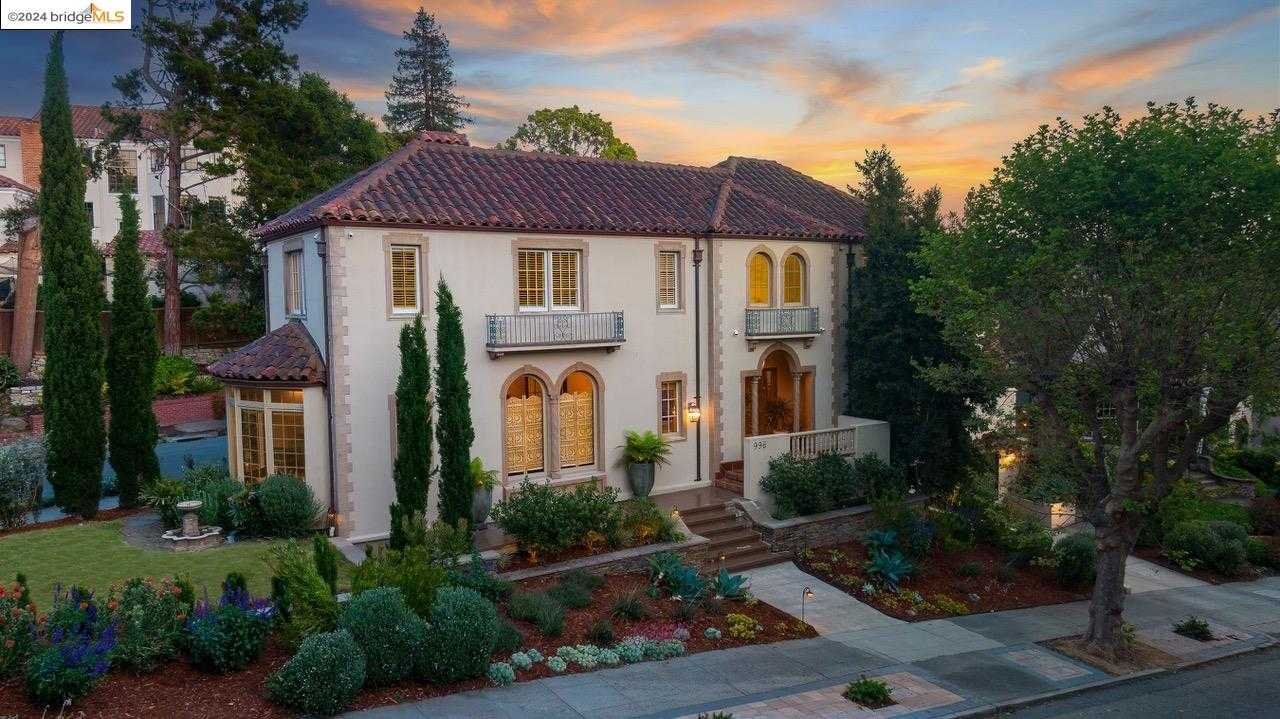
Crocker Highlands, Oakland, CA
Keywords: Historic hillside homes, Leafy curving streets, Lakeshore retail access
Crocker Highlands is a curvilinear enclave folded into the gentle hills just east of Lake Merritt, laid out in the early 1900s and remarkably intact. Winding streets like Paramount and Sunnyhills climb beneath a dense canopy of oaks and sycamores past well-kept Craftsman, Tudor, and Mediterranean homes on generous lots. Mandana Boulevard to the west and the ravine near Balfour to the north give it clean edges and a sheltered, pocket-neighborhood character despite the central address. ... See Full Page
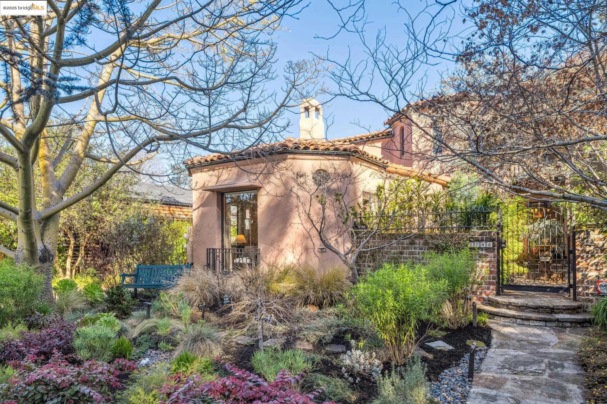
Rockridge, Oakland, CA
(2) City data used
Keywords: College Avenue buzz, BART-connected walkability, Craftsman charm blocks
Rockridge flanks the gentle slope west of the Caldecott Tunnel, its streets filled with early-1900s Craftsman bungalows, shingled cottages, and a scattering of handsome Tudors. Most lots are compact but landscaped with mature magnolia and Japanese maple, and nearly every block drops toward College Avenue, the neighborhood's lively backbone. A mix of narrow lanes and wider avenues makes the area feel close-knit while still offering pockets of canopy and filtered hill views. ... See Full Page
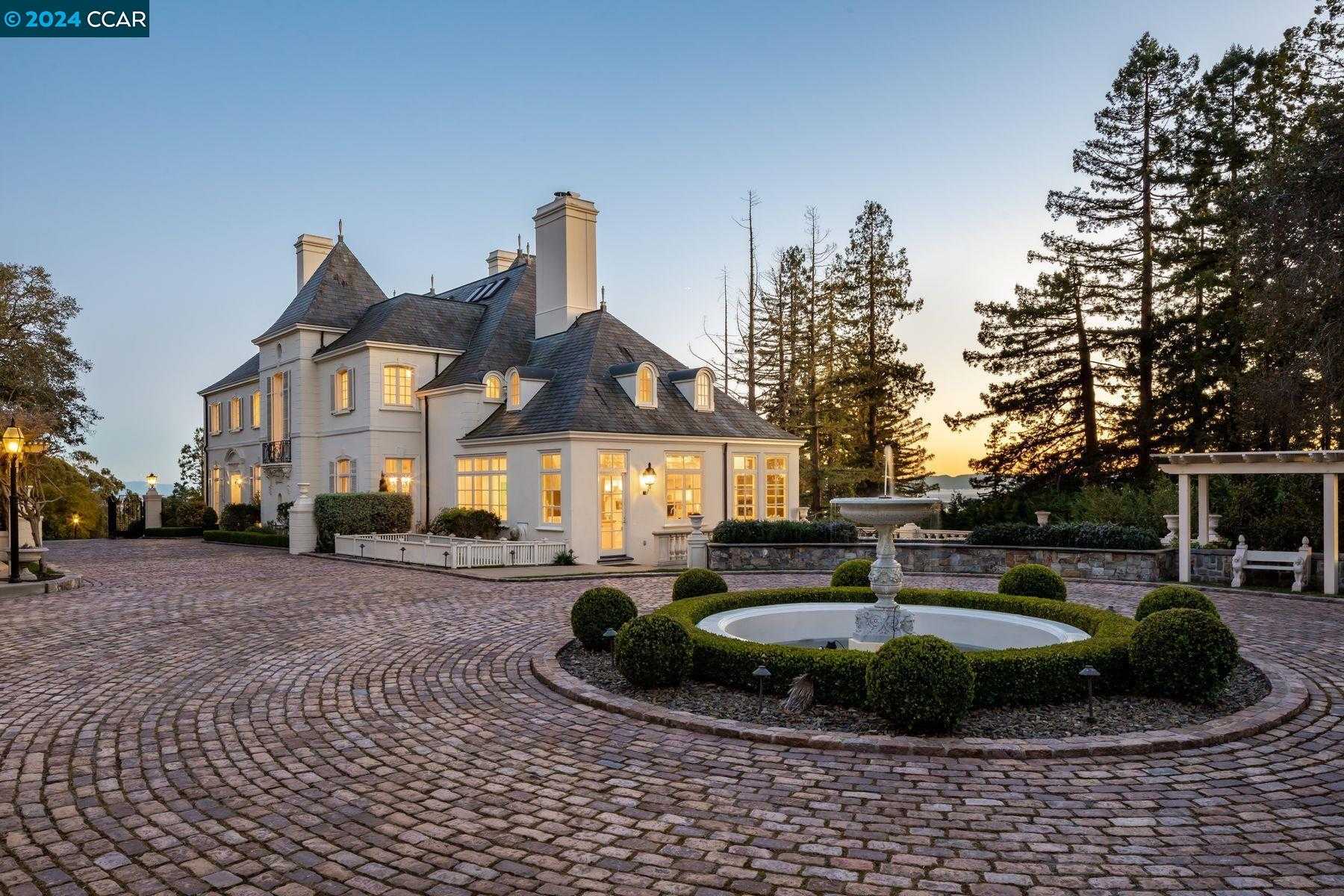
Piedmont, Oakland, CA
Keywords: Stately Homes, Exceptional Schools, Scenic Parks
Piedmont is the leafy, affluent city entirely surrounded by Oakland, and it reads exactly as advertised: stately homes, deep tree cover, and quiet residential streets that feel a world away from the flatlands a few minutes downhill. Architecturally it runs to grand period houses on well-tended lots, with a cohesion and pride of maintenance that hold remarkably steady block to block. As its own municipality, it pairs small-town calm with quick access to Oakland's amenities. ... See Full Page
Scores updated October 2026
Most Affordable Neighborhoods
Loading map...
View Full Map
Oakland home prices: your questions, answered
Which Oakland neighborhoods are most affordable?
Chinatown has the lowest typical home price in Oakland, at $323,320. The next lowest typical home prices in Oakland are Embarcadero ($367,056) and Coliseum ($406,674).
What is the typical home price in Oakland?
The typical home price across 103 ranked Oakland neighborhoods is $684,043.
Which Oakland neighborhoods are the most expensive?
Piedmont has the highest typical home price in Oakland, at $3,049,710. The next highest typical home prices in Oakland are Rockridge ($2,257,680) and Crocker Highlands ($2,059,660).
How much do typical home prices vary across Oakland neighborhoods?
Typical home prices across Oakland neighborhoods run from $323,320 in Chinatown to $3,049,710 in Piedmont, a spread of $2,726,390.
How do Oakland home prices compare with nearby cities?
Oakland's typical home price across ranked neighborhoods is $684,043. The nearest cities are Alameda $1,386,275, Emeryville $965,151, Moraga $1,817,840, Berkeley $1,643,495 and San Leandro $842,370.
More Oakland rankings
- Best neighborhoods in Oakland
- Best neighborhoods for schools in Oakland
- Safest neighborhoods in Oakland
- Best neighborhoods for amenities in Oakland
- Best-value neighborhoods in Oakland
- Fastest-appreciating neighborhoods in Oakland
Zoom out
Nearby affordable rankings
Alameda · Emeryville · Moraga · Berkeley · San Leandro