

Best-Value Neighborhoods in San Jose, CA


None of the 109 ranked San Jose neighborhoods with a value figure is priced below its expected value.
Houseberry scores 112 San Jose neighborhoods on schools, safety, amenities, price, value and appreciation. Overall scores in San Jose run from 1.9 to 4.5 out of 5, and 25 score 4 out of 5 or higher. Typical home prices range from $607,183 in Alexander to $3,976,510 in Santa Rosa Hicks across 109 priced neighborhoods. Across the five nearest cities the average overall score is 3.9 out of 5, against 3.4 in San Jose.
Learn more about San Jose, CA.
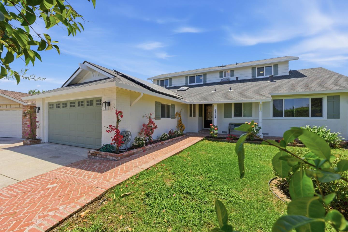
Calabazas North, San Jose, CA


Keywords: Calabazas Park, Creek Greenbelt, Cupertino Edge
Calabazas North is a westside neighborhood built around its park and its creek, and both are real assets. Calabazas Park sits inside the boundaries with a creekside picnic area, and the Calabazas Creek greenbelt threads the western edge, giving these streets more usable green space than the typical flatland tract. It sits right up against the Cupertino and Santa Clara borders, which means access to the coveted Cupertino Union and Fremont Union school areas that draw so many buyers to this corner of the valley. ... See Full Page
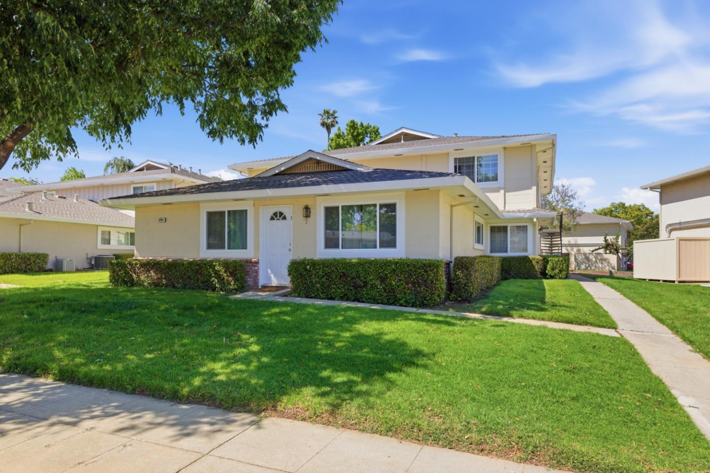
Cambrian, San Jose, CA
Keywords: Cambrian Plaza, Carousel Landmark, Established Tracts
Cambrian is one of those San Jose names that means more than a set of streets; it is a whole quadrant of well-kept mid-century tracts that people move to for the schools and the calm. The name has a quietly Welsh origin, borrowed from the old Cambrian School, which a 19th-century ranch hand named after Cambria, the Latin name for Wales, his birthplace. For decades the community drew its lines by school-service areas rather than city limits, because the area was too rural for tidy municipal boundaries, and that school-district identity, Cambrian and Union K-8 feeding Branham and Leigh high schools, still shapes how locals think of it. ... See Full Page
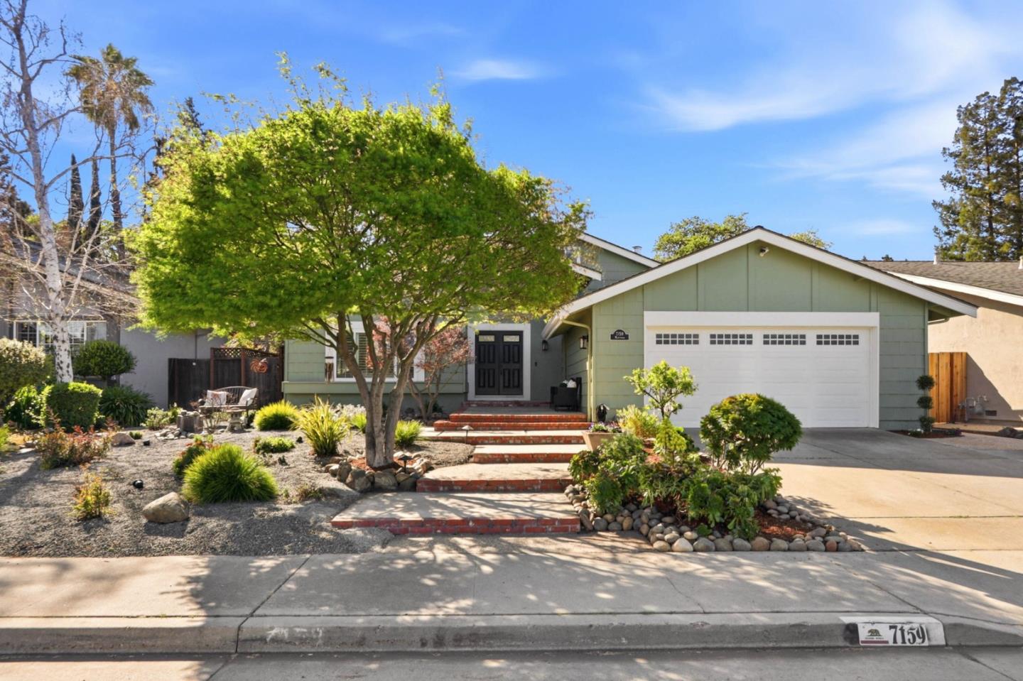
Graystone, San Jose, CA
Keywords: Foothill Tracts, Creek Greenbelt, Cul-de-sac Streets
Graystone is Almaden at its most settled: a hillside grid of split-levels and ranch homes from the late 1960s and 70s tucked against the western foothills, wrapped around cul-de-sacs and organized, as much of Almaden is, around its schools. Its own well-regarded elementary sits in the middle, feeding up toward Bret Harte and Leland, and that boundary is the reason a lot of families land here and stay for a generation. The Los Alamitos Creek Trail threads through the area and the wooded slice of Singer Park gives it a shady, low-key green center, with the county-park trailheads only a short drive up the road. ... See Full Page
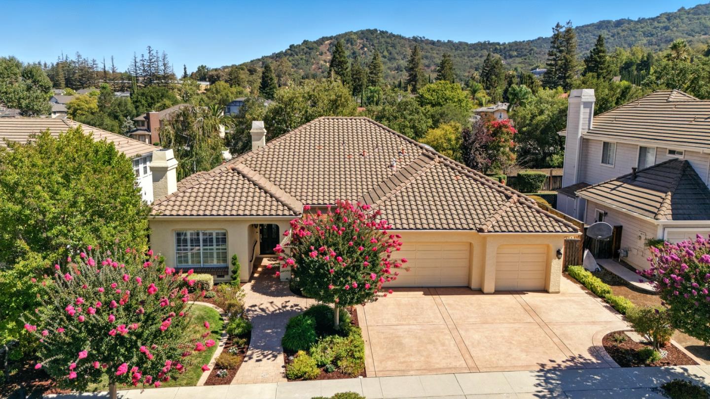
Montevideo, San Jose, CA
Keywords: Former Vineyard, Community Pool, Planned Tract
Montevideo is one of those planned Almaden-area tracts that has quietly aged into its trees. Built in the 1960s on former vineyard land near Camden Avenue and Coleman Road, it runs to detached ranch, split-level and two-story homes on comfortable lots, and it kept something a lot of tracts its age never had: a private community cabana and pool that still gives the neighborhood a center of gravity and a social calendar. The streets are broad and shaded, and there is a genuine pride-of-ownership feel that comes from a lot of long-tenured owners. ... See Full Page
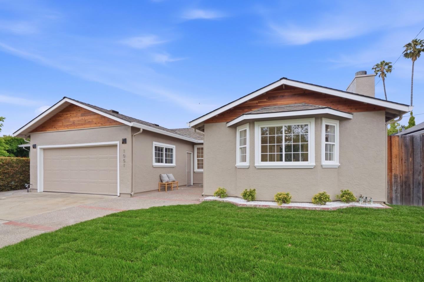
Country Lane, San Jose, CA
Keywords: Saratoga Creek Trail, Gullo Park, Moreland Grid
Country Lane is one of the more quietly appealing West San Jose tracts, and it earns that with real amenities rather than reputation. Its namesake elementary sits inside the neighborhood, Gullo Park anchors the north edge, and the Saratoga Creek Trail runs along the western side, giving residents a genuine greenbelt for walking and biking that a lot of flatland neighborhoods lack. ... See Full Page
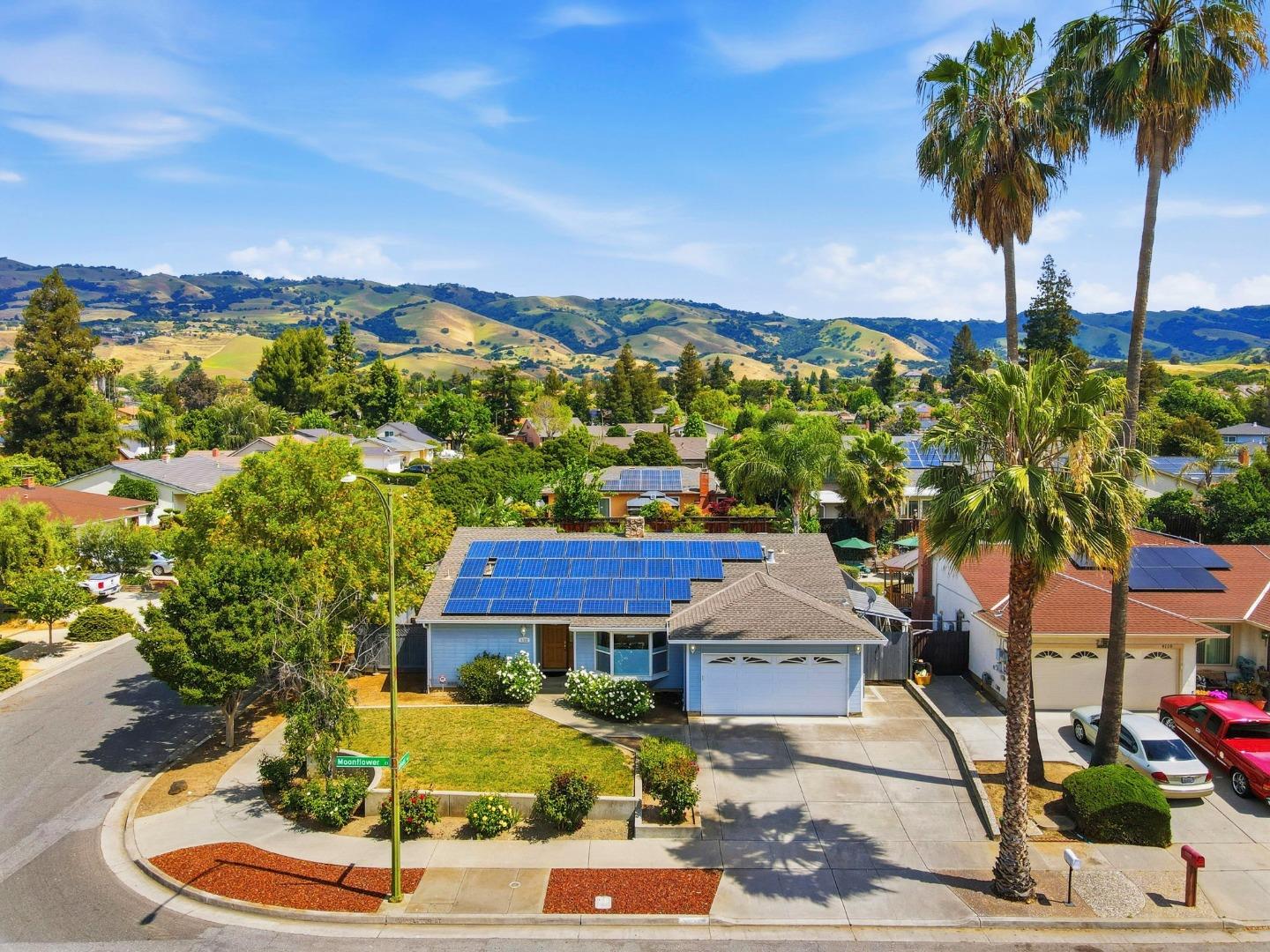
Evergreen, San Jose, CA
Keywords: Village Square, Evergreen College, Chaboya Rancho
Evergreen is the east valley's most complete suburb, and it grew straight out of California history. The land was the core of Rancho Yerba Buena, a 24,000-acre Mexican land grant given to the Californio ranchero Antonio Chaboya in 1833, and the Chaboya name still saturates the area, from Chaboya Middle School to Chaboya Road. Squatters and the rancho even fought a brief 'Squatters' War' here in 1861. It was vineyard and orchard country for a century before it filled in with homes. ... See Full Page
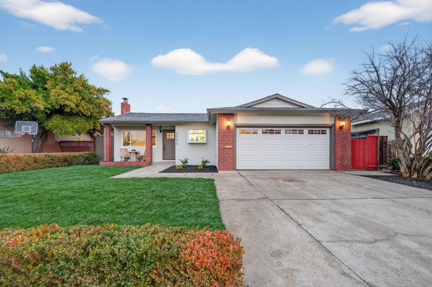
Bucknall, San Jose, CA
Keywords: Moreland Schools, Westgate Nearby, Quiet Grid
Bucknall is a settled West San Jose neighborhood that runs on two things suburban families tend to want: Moreland district schools and easy shopping. Its namesake road threads the grid, the neighborhood elementary sits inside it, and the open-air Westgate and El Paseo de Saratoga centers are right at the northwest corner for groceries, restaurants and errands. The housing is flat, single-family stock on comfortable lots near the Campbell and Saratoga borders, the kind of quiet, established streets that hold their value on schools and location. ... See Full Page
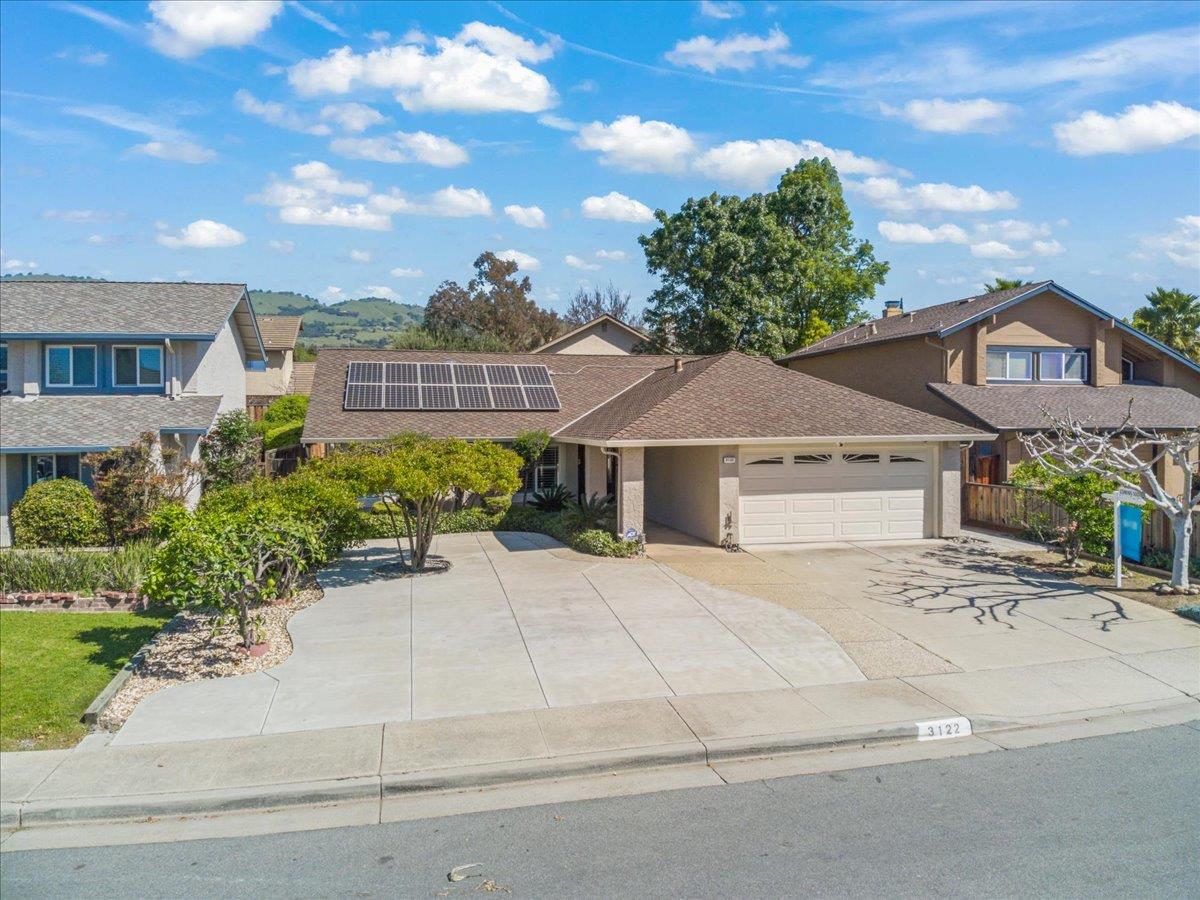
Centerwood, San Jose, CA
(2) City data used
Keywords: Quimby Corridor, Small Tract, Evergreen Area
Centerwood is a small, quiet residential tract in the west-central part of the Evergreen area, strung along the Quimby Road corridor on the valley floor. It is single-family territory in the Evergreen school district, a calm, settled pocket that trades on being an affordable, low-key east-side street rather than on any headline amenity. ... See Full Page
Estates, San Jose, CA
Keywords: Foothill Transition, College Nearby, Quiet Tract
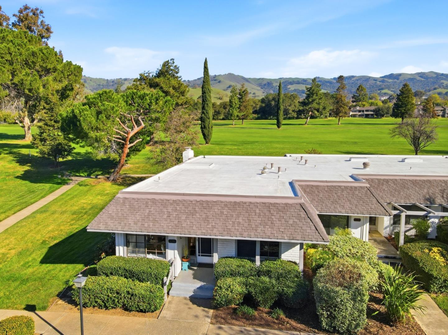
Estates is a quiet east-valley neighborhood sitting on the transition from the Evergreen valley floor up into the foothills, between the walkable Evergreen core to the north and the Silver Creek area to the south. It is single-family tract territory in the Evergreen school-district area, with Evergreen Valley College and its grounds nearby and the foothill parks a short drive off. ... See Full Page
Rainbow, San Jose, CA
(2) City data used
Keywords: Cupertino Schools, Calabazas Creek, Westside Border
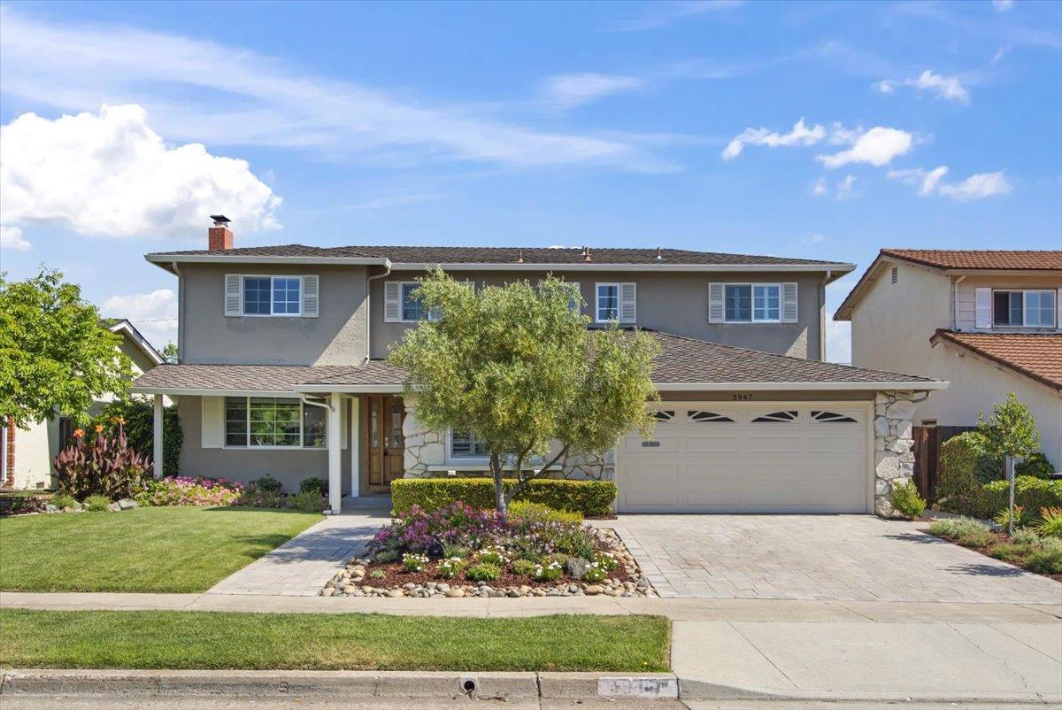
Rainbow is the far-western edge of San Jose, close enough to Cupertino that its biggest draw is often the schools: this pocket falls into the Cupertino Union and Fremont Union district areas that pull so many buyers toward this side of the valley. The neighborhood takes its name from Rainbow Drive and sits on flat ground near the Calabazas Creek corridor, with Calabazas Park just off the western edge for green space. ... See Full Page
Santa Teresa Foothills East, San Jose, CA
Keywords: Hillside Views, Open Space, Elevated Lots
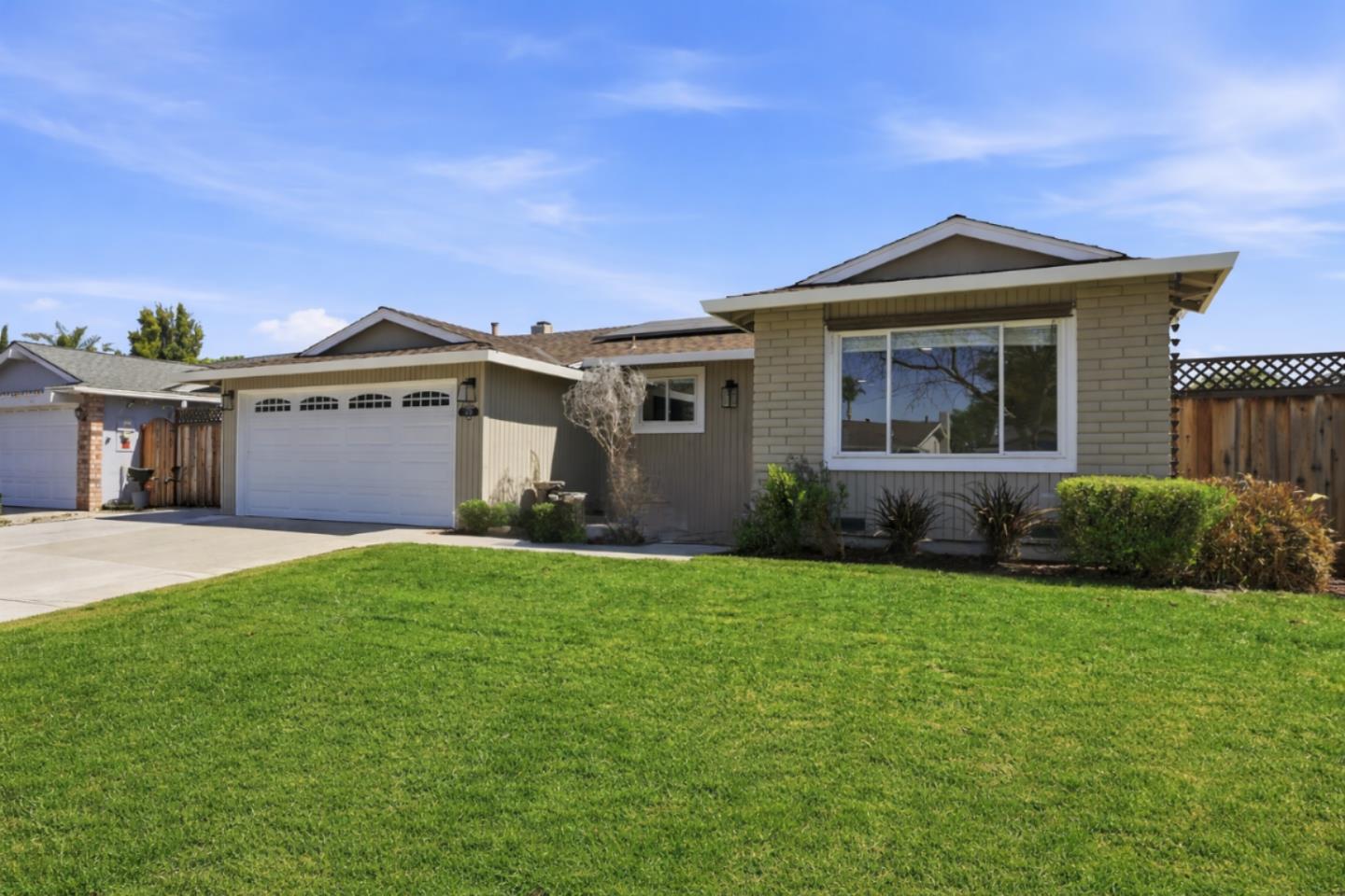
The eastern side of the Santa Teresa foothills is view country. Homes climb the western flank of the Santa Teresa Hills on elevated lots, and the payoff is a wall of protected open space right behind them: Santa Teresa County Park, with Coyote Peak and better than seventeen miles of trails, is essentially the back fence. That kind of open-space adjacency is rare anywhere inside San Jose, and it is the whole reason to be up here rather than down on the flats. ... See Full Page
The Villages, San Jose, CA
Keywords: Gated Golf Community, Age Fifty-Five Plus, Foothill Open Space
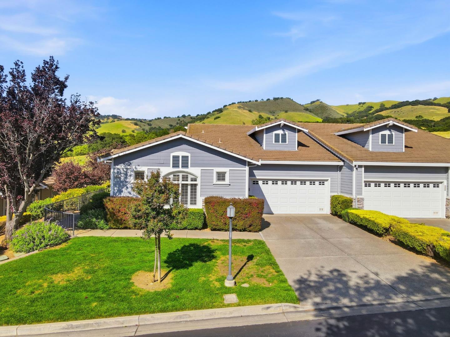
The Villages is a world unto itself in the far eastern foothills: a 1,200-acre gated, age-restricted golf and country-club community built between 1967 and 2000 on former hillside vineyard and ranch land, and unlike anything else in San Jose. It is organized into a set of individually named villages, from Cribari to Vineyard, which is where the plural name comes from. ... See Full Page
Almaden Valley, San Jose, CA
Keywords: Almaden Lake, Creek Trails, Hillside Enclave
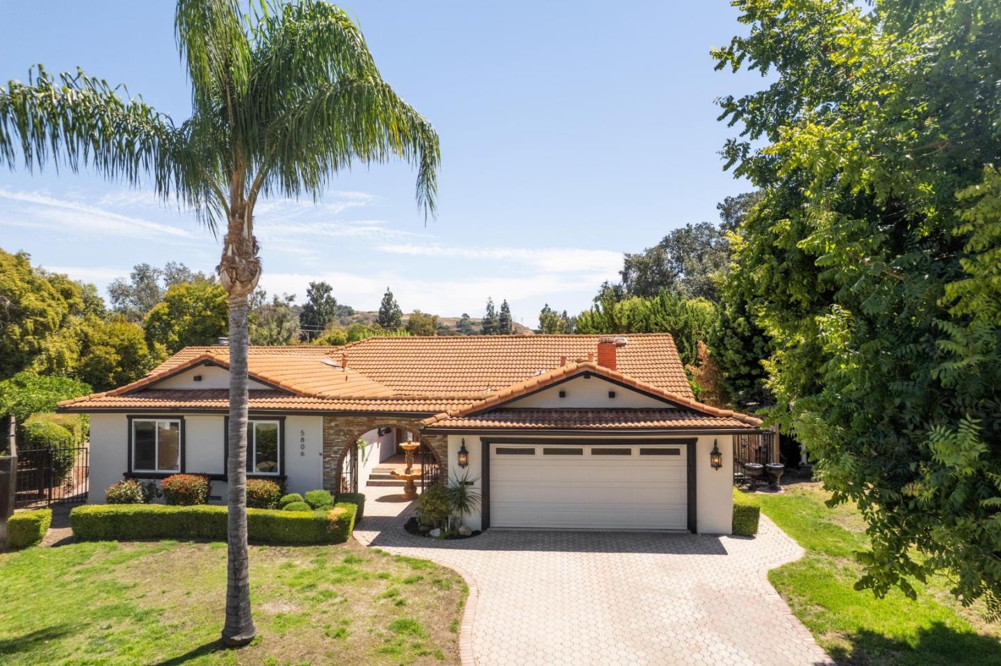
Almaden Valley is where San Jose stops feeling like a city and becomes its own tucked-away valley, boxed in by the Santa Cruz Mountains on the west and the Santa Teresa Hills on the east. The name is a borrowed one: it comes from the quicksilver mines of New Almaden just to the south, which were themselves named in 1846 after Almaden, Spain, the ancient mercury-mining town. For most of the last century this was orchard and ranch country, and it subdivided into some of the city's most in-demand suburbs only in the postwar decades, which is why it still reads more secluded and green than the flatlands north of it. ... See Full Page
Doerr, San Jose, CA
Keywords: Doerr Park, Magnet School, Willow Glen Adjacent
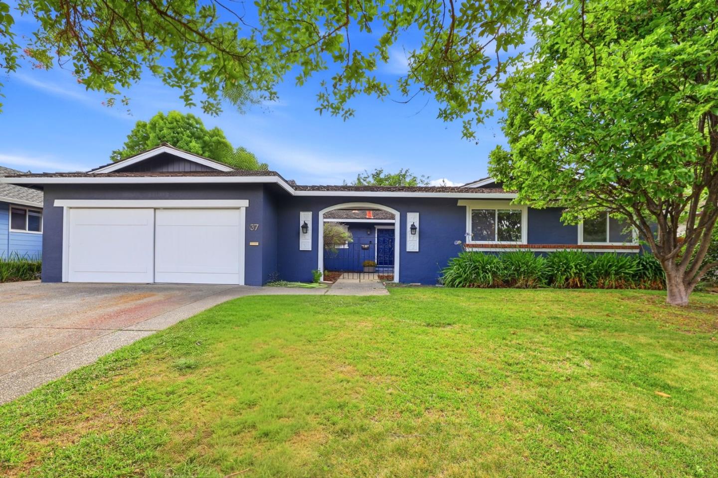
Doerr is the quietly desirable pocket where Cambrian and Willow Glen blur together, and it has the amenities to back it up. Doerr Park and the linear Doerr Parkway trail give the neighborhood a real green spine, and it is anchored by strong schools, including the Steindorf STEAM magnet and Ida Price Middle, which is exactly the kind of thing that keeps families rooted here for the long haul. ... See Full Page
Kooser, San Jose, CA
Keywords: Branham Park, Branham High, Princeton Plaza
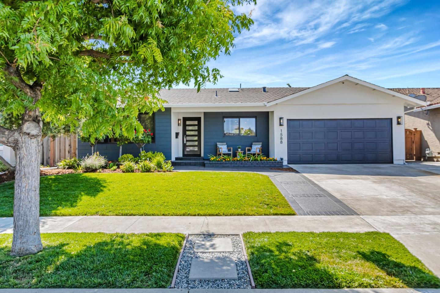
Here is the twist worth knowing up front: Branham High School and Branham Park, the ones people picture when they hear the name Branham, actually sit in the Kooser neighborhood, along Branham Lane on the west side. That gives Kooser real anchors, a comprehensive high school with open fields, a genuine neighborhood park and an elementary, all inside its borders, which is more than most tracts its size can claim. ... See Full Page
Morrill, San Jose, CA
Keywords: Cataldi Park, Morrill Middle, North Berryessa
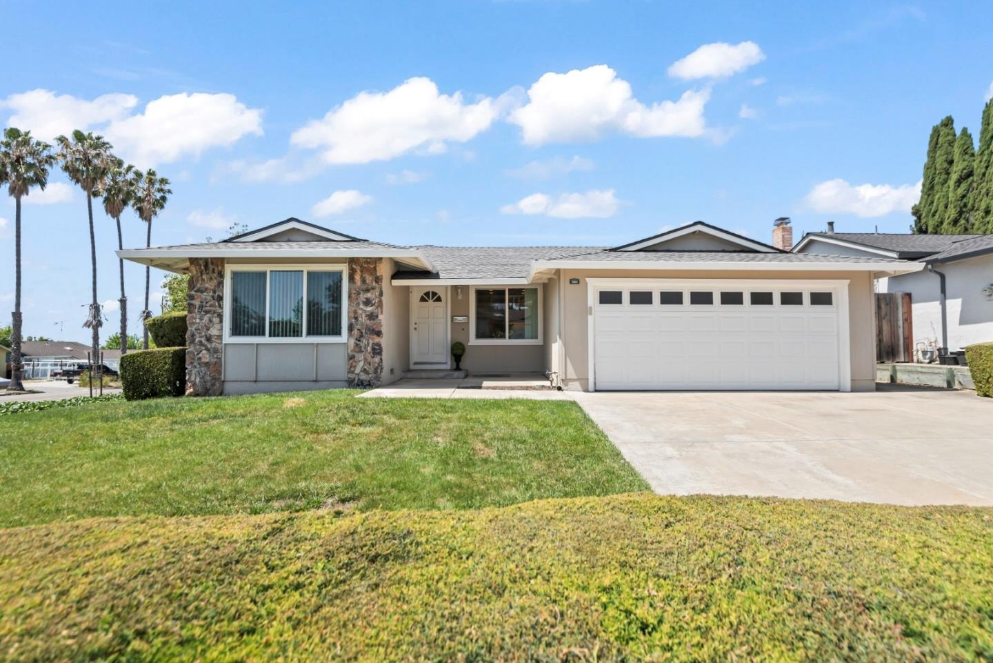
Morrill is a north-Berryessa neighborhood named for the middle school that anchors it, and it has a real amenity most of its neighbors do not: Cataldi Park sits inside its borders, giving these blocks a genuine neighborhood park despite the confusingly named boundaries around here. It is flat, former-orchard single-family territory in the Berryessa Union school area, near the Sierra and Piedmont corridors. ... See Full Page
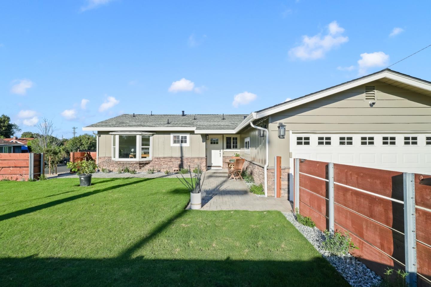
Rose Sartorette, San Jose, CA
Keywords: Charter Elementary, Cambrian Tract, Camden Corridor
Rose Sartorette is a Cambrian-area tract that takes its name and its identity from its school: Sartorette Charter sits right in the middle, and the neighborhood is the kind of settled, family-first pocket that grows up around a well-liked elementary. The housing is mid-century single-family on the flat valley floor, quiet and established, framed by Camden and Meridian Avenues with the Princeton Plaza shopping center just off the southeast corner. ... See Full Page
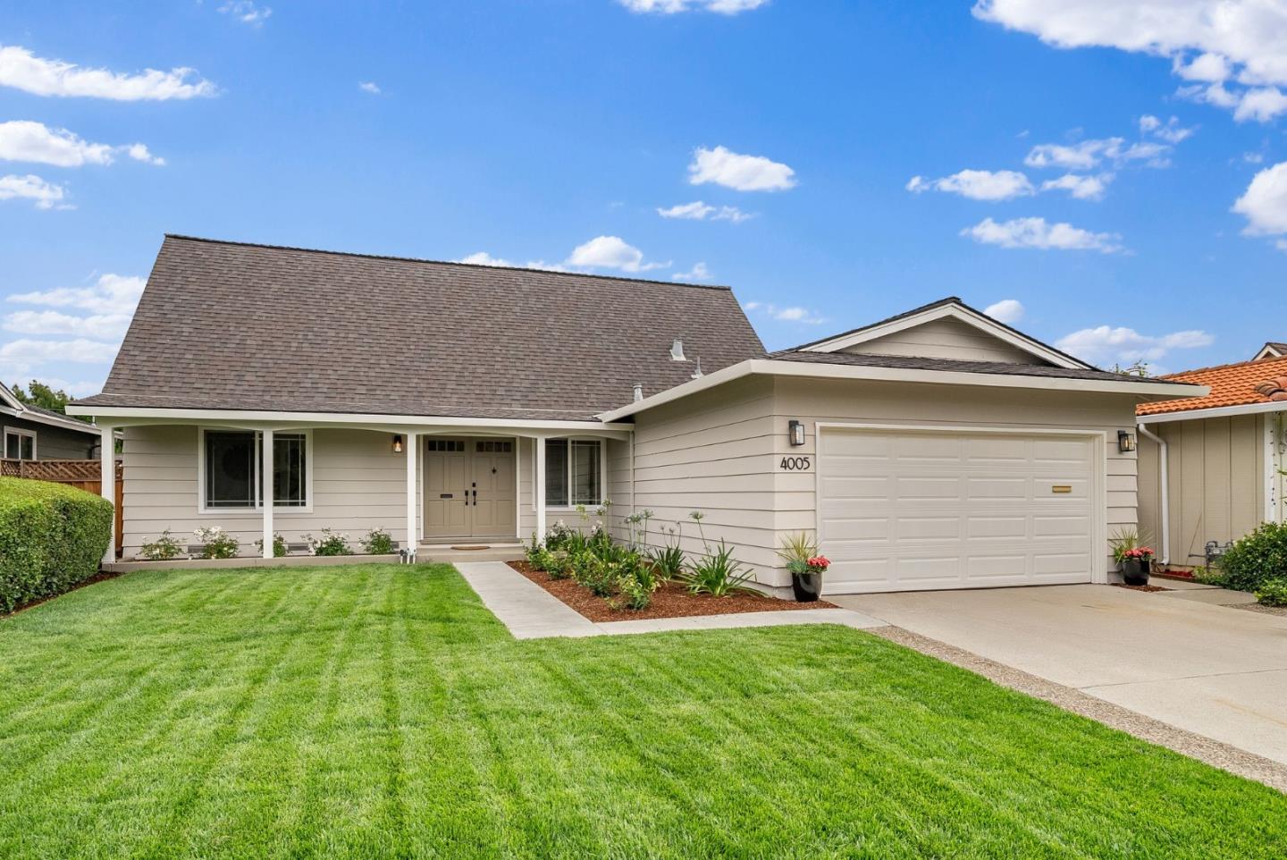
San Tomas West, San Jose, CA
Keywords: Creek Corridor, Anderson Elementary, Westside Tract
San Tomas West takes its name from the creek that gives it its best feature: the San Tomas Aquino Creek corridor runs the eastern side, adding a ribbon of green and a trail to what is otherwise a flat, established West San Jose tract. Leroy Anderson Elementary sits inside the neighborhood, part of the Moreland district pattern that draws families to this side of town, and Starbird Park and its community center are just over in the adjacent neighborhood for more recreation. ... See Full Page
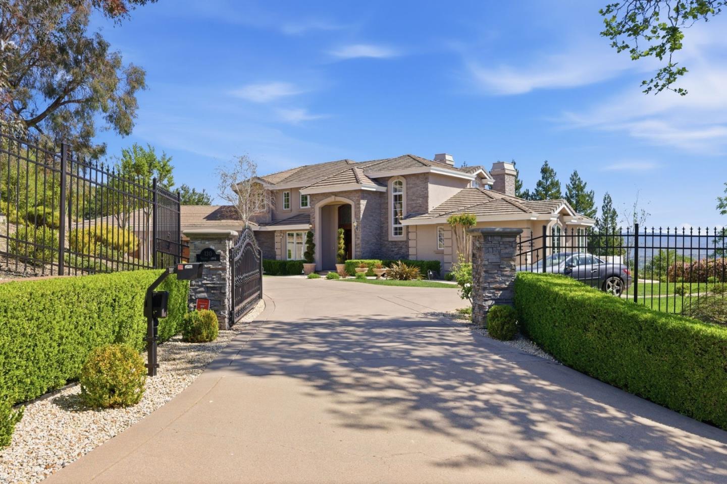
Santa Rosa Hicks, San Jose, CA
(2) City data used
Keywords: Hills Edge, Cambrian Border, Quiet Perch
Santa Rosa Hicks sits at the far southern edge of the Cambrian area, right where the flat valley floor starts to tilt up toward the foothills and Hicks Road begins its climb into the hills. That position gives it a quieter, more tucked-away feel than the tracts to the north, with the open ground of the Sierra Azul country rising to the southwest as a backdrop. ... See Full Page
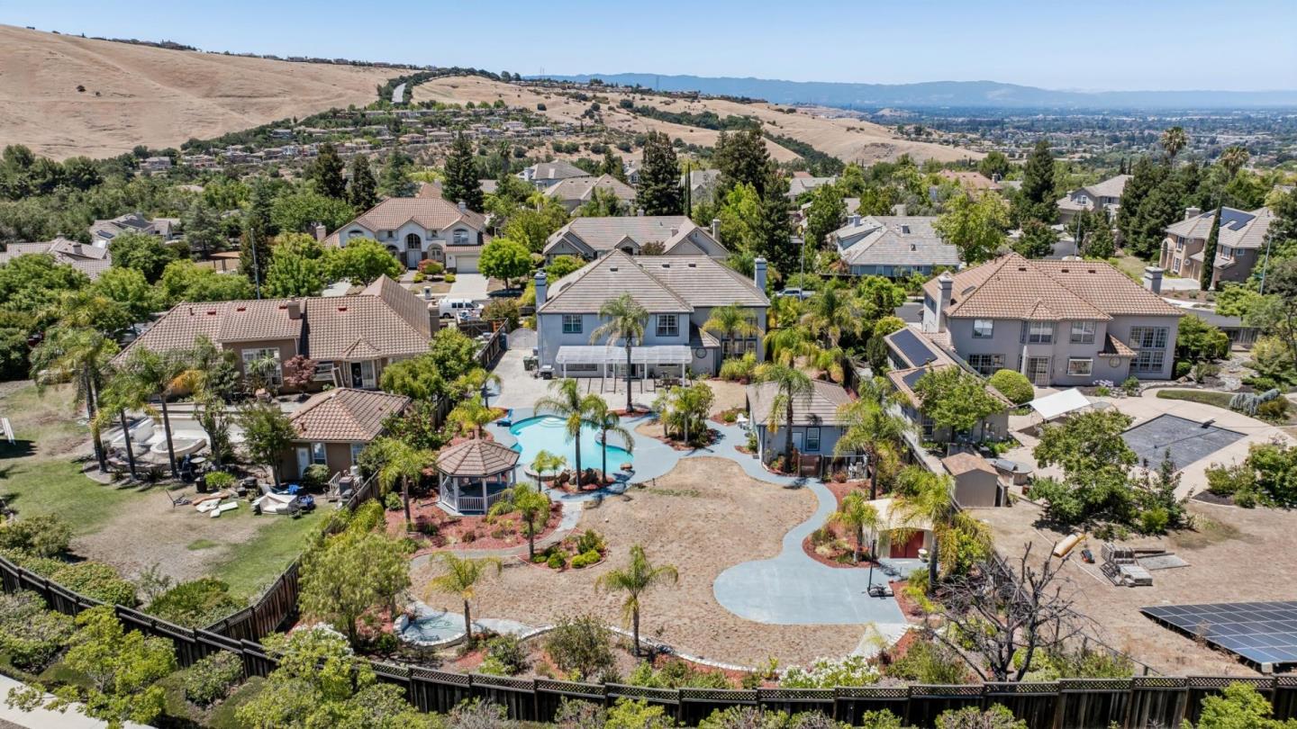
Silver Creek, San Jose, CA
Keywords: San Felipe Corridor, Foothill Homes, Country-Club Adjacent
Silver Creek is the foothill residential belt on the east side, strung along San Felipe Road where the valley floor climbs into the Diablo Range hills. It is part of the broader, well-heeled Silver Creek area, and it borders the gated Silver Creek Valley Country Club just to the south, which sets the tone for the neighborhood: newer hillside homes, a settled feel, and Evergreen schools like Silver Oak and Chaboya nearby. ... See Full Page
Berryessa North, San Jose, CA

Keywords: Interchange Edge, Berryessa Road, Freeway Access
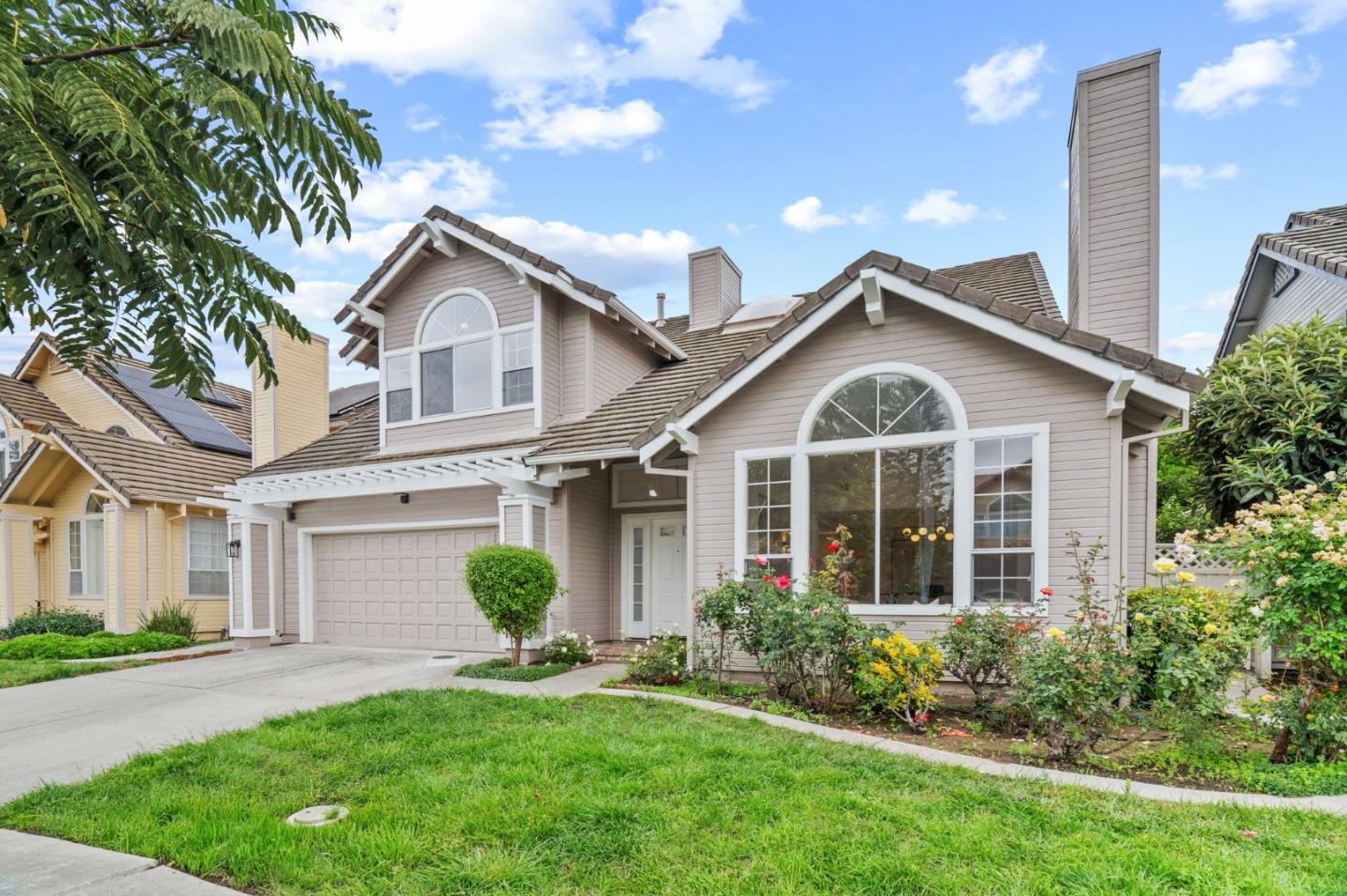
Berryessa North is the corner of the Berryessa district that sits closest to the Interstate 680 interchange and the Berryessa Road redevelopment zone, which makes it as much about access as about neighborhood. It is flat, valley-floor residential fabric near the freeway, in the Berryessa Union school area, with the new BART station and the redeveloping flea-market site just to the east. ... See Full Page
Berryessa Station, San Jose, CA
(2) City data used
Keywords: Oakland Road, North Berryessa, Corridor Pocket
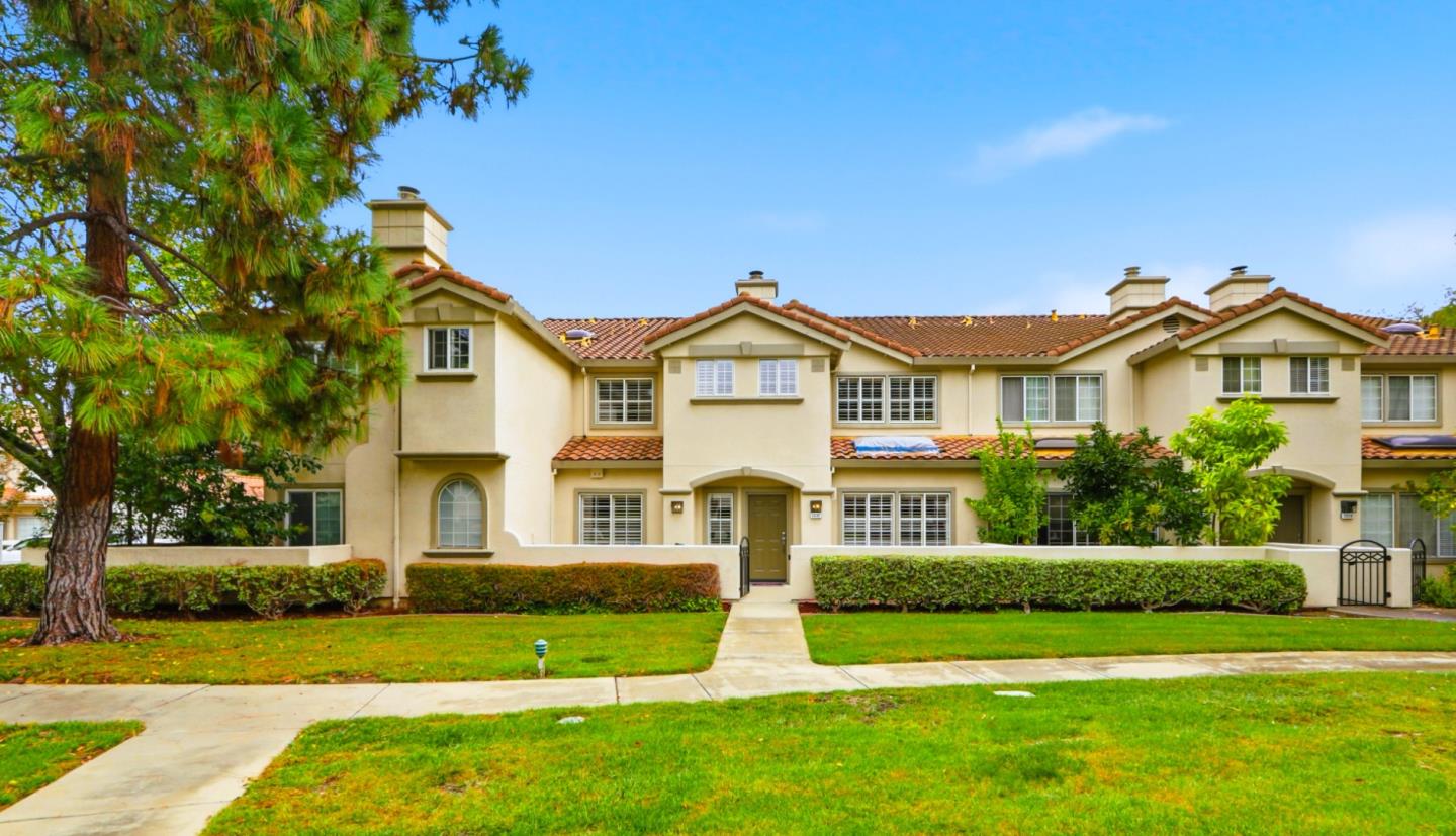
Berryessa Station carries a name that promises more than the geography delivers, and it is worth being clear-eyed about that. Despite the name, the Berryessa BART station actually sits a fair distance to the south, in the neighboring area, so this is not the walk-to-the-platform transit village the label suggests. ... See Full Page
Lincoln Glen, San Jose, CA
Keywords: Neighborhood Park, Willow Glen Feel, Church Campus
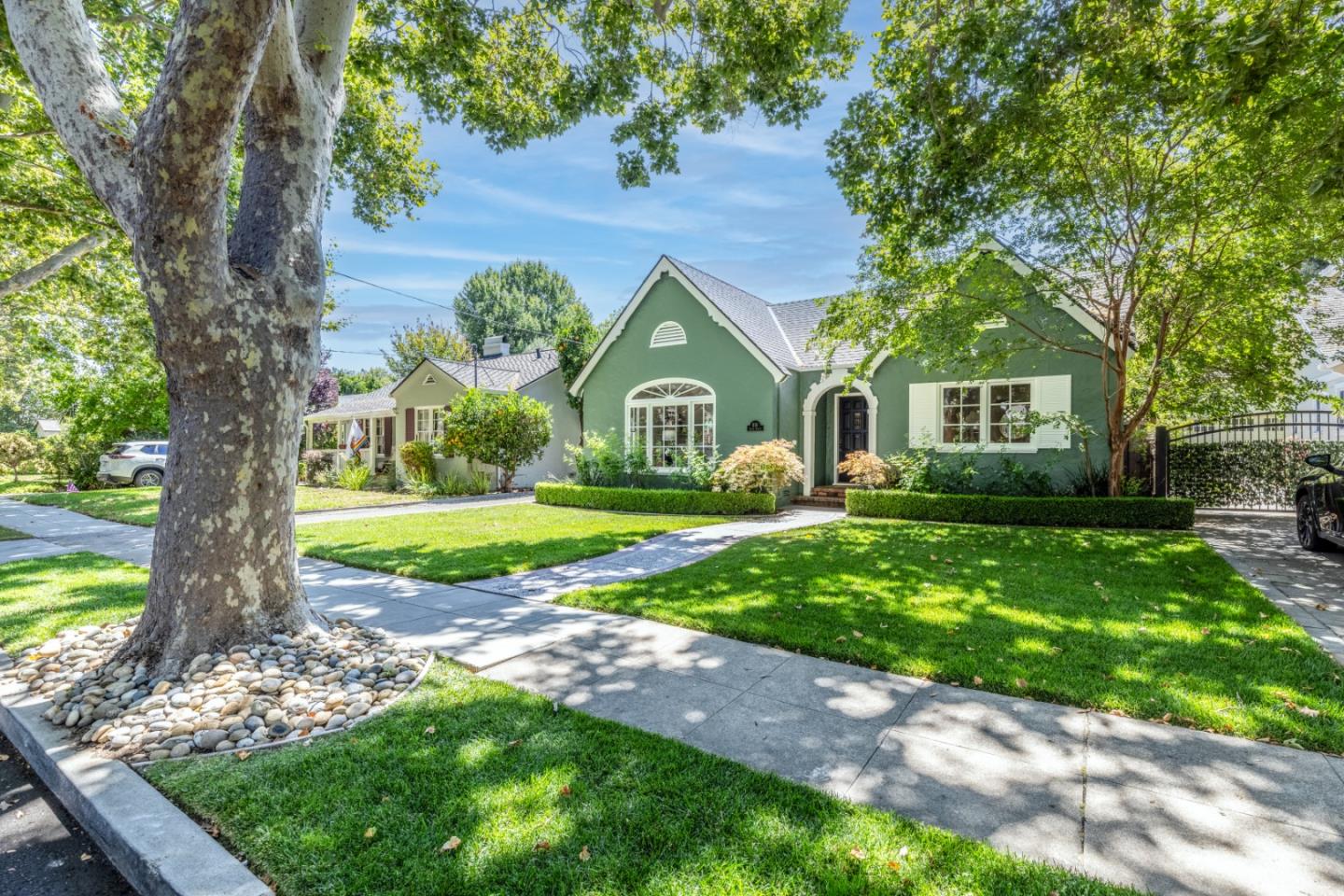
Lincoln Glen carries the leafy, settled character of southern Willow Glen and adds a green center of its own. The neighborhood park and the large Lincoln Glen church campus give it real civic anchors and a sense of place, and the whole area has the shaded, established feel that draws people to this part of San Jose in the first place. ... See Full Page
New Almaden, San Jose, CA
Keywords: Historic Village, Quicksilver Park, Wooded Hills
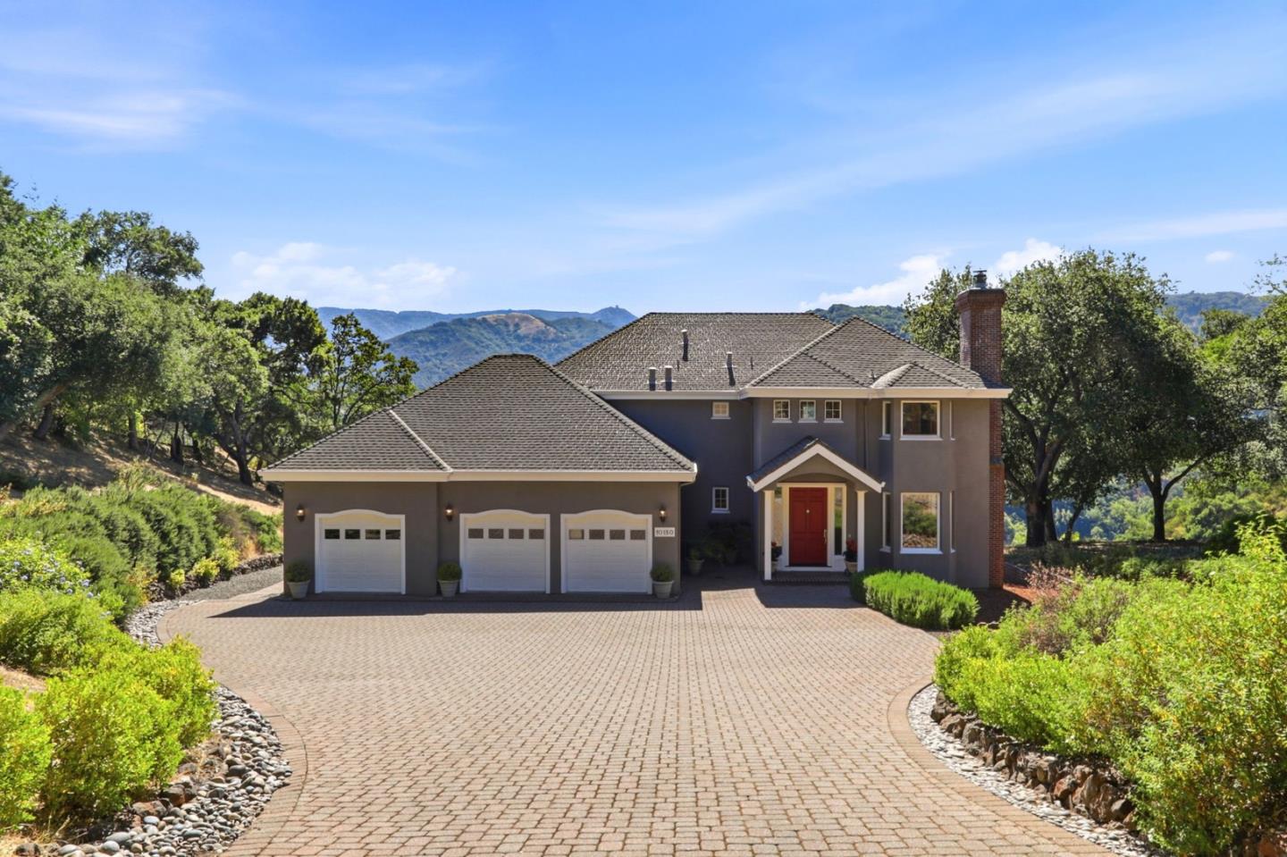
New Almaden is the oldest chapter in the whole valley's story, and it still lives like one. This was California's first major mining district, where in 1845 Ohlone guides led the Mexican engineer Andres Castillero to cinnabar outcrops in the hills, and within a year Barron, Forbes and Company were mining mercury here, the quicksilver that made Gold Rush ore extraction possible. At its peak more than 3,000 people lived across three camps, the Hacienda down in the valley, the Mexican miners of Spanishtown, and the Cornish miners of Englishtown up on Mine Hill. The whole district was named a National Historic Landmark in 1961. ... See Full Page
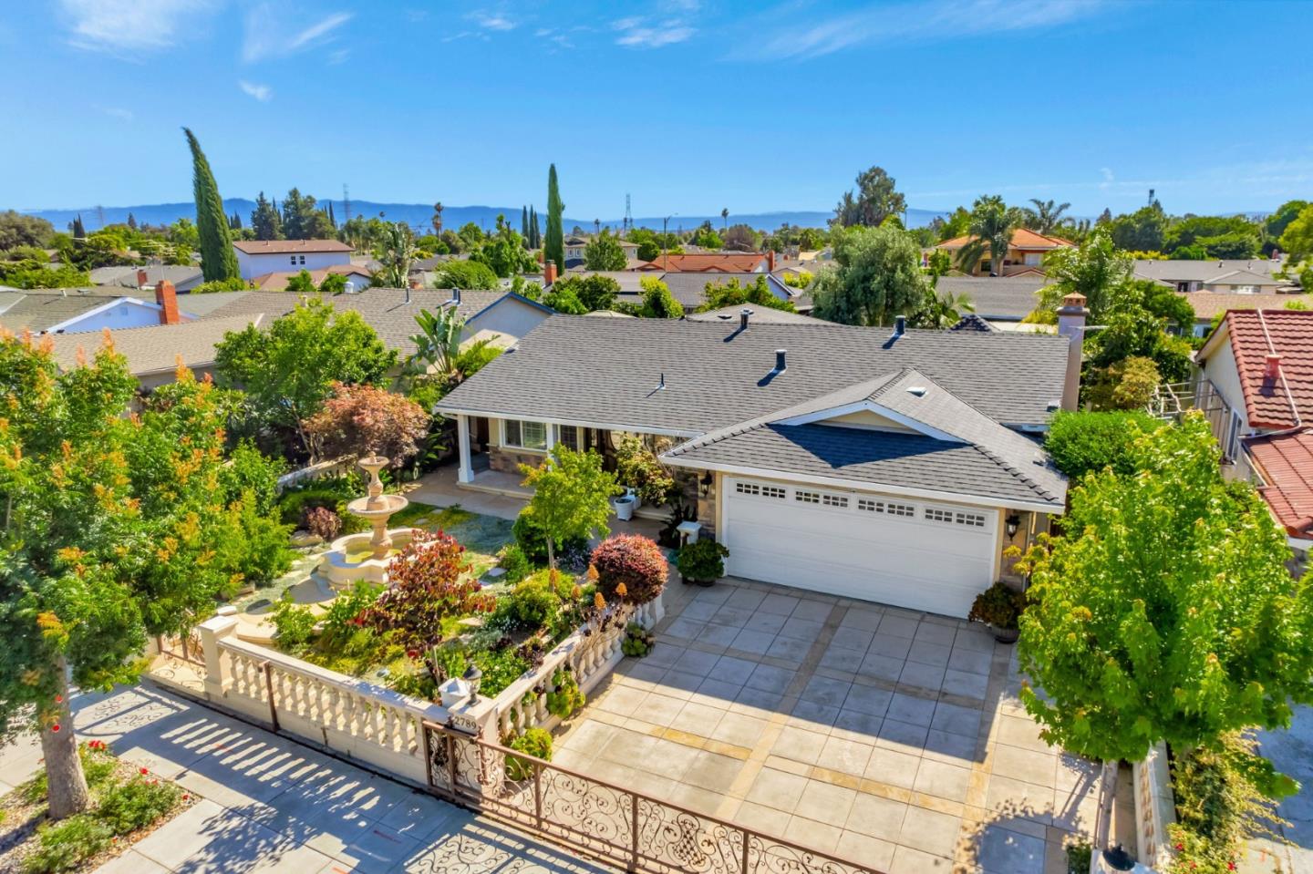
Thompson Creek, San Jose, CA
(2) City data used
Keywords: Thompson Creek Trail, Creek Greenbelt, Evergreen Edge
Thompson Creek is named for the greenbelt that gives it its best feature: the Thompson Creek Trail, a walking and biking path that follows the creek corridor through this east-side neighborhood, adding a ribbon of nature and a real recreation amenity to what is otherwise a flat-to-rolling residential tract. It sits in the Evergreen-adjacent part of the city near the Quimby and San Felipe corridors. ... See Full Page
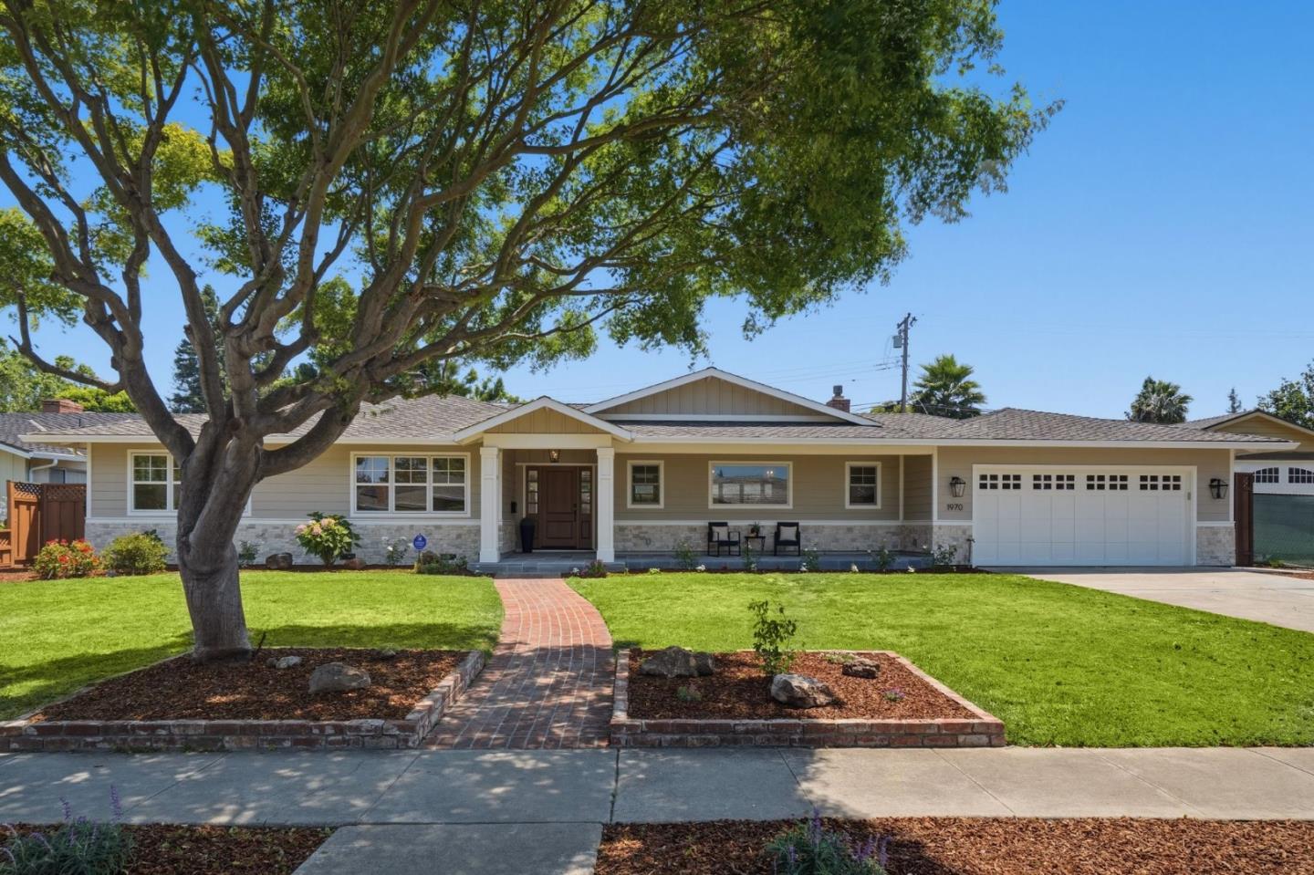
Booksin, San Jose, CA
Keywords: Character Homes, Walkable Lincoln, Leafy Blocks
Booksin is Willow Glen's leafy southern flank, and it trades on exactly the things that make Willow Glen expensive: older character homes, a deep street canopy, and a neighborhood elementary that families build their entire house hunt around. The walkable Lincoln Avenue strip, with its restaurants, cafes and independent shops, sits just to the north, close enough that a lot of Booksin residents treat it as their downtown even though it is technically the next neighborhood up. ... See Full Page
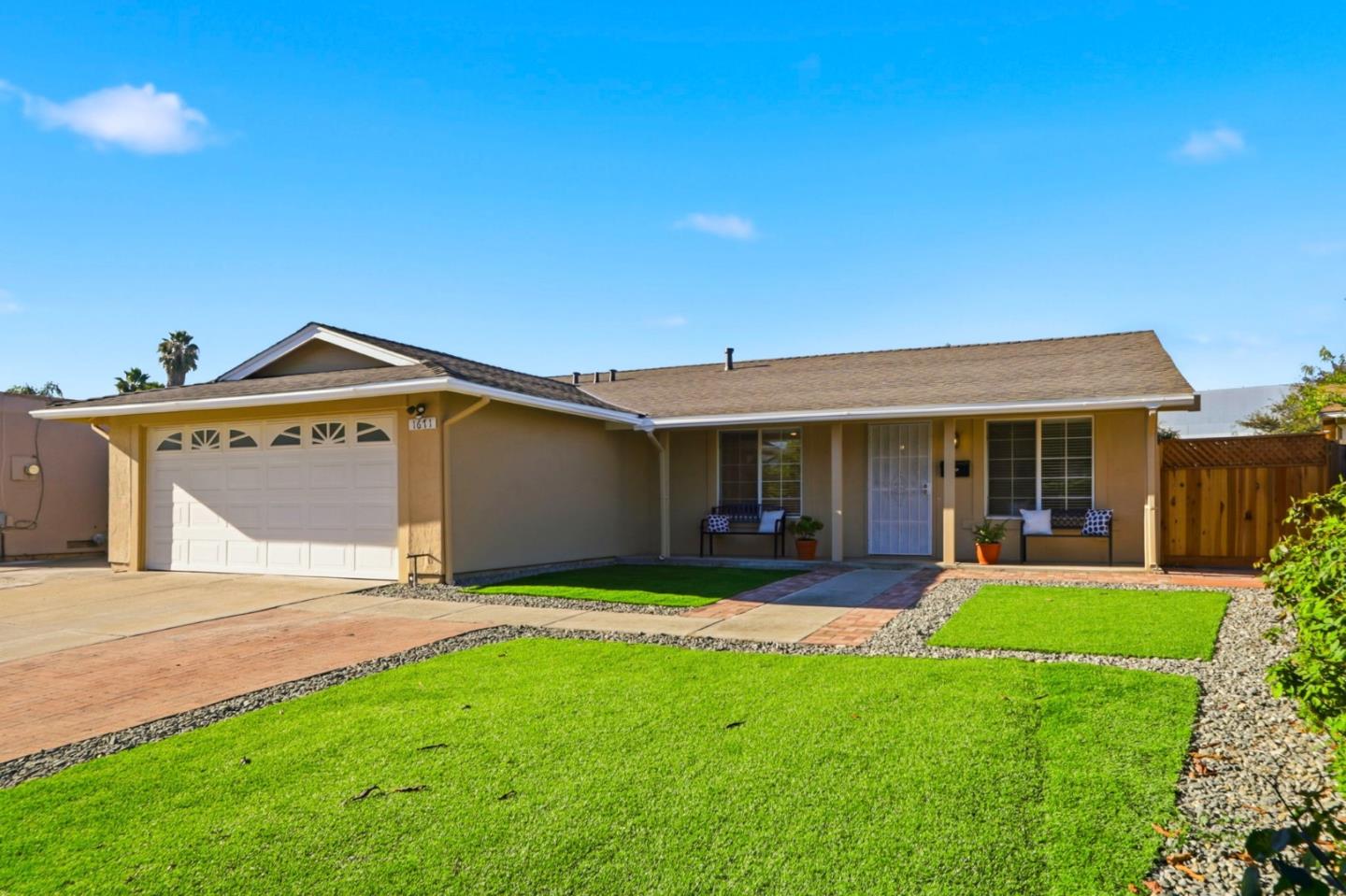
Brooktree, San Jose, CA
Keywords: Brooktree Elementary, Penitencia Creek, North Berryessa
Brooktree is a settled residential tract in the northern part of the Berryessa district, named for the elementary school that anchors it. It is flat, former-orchard land built out into single-family homes on quiet interior streets, part of the Berryessa Union school area, with the Penitencia Creek greenbelt and the district's parks nearby for recreation. ... See Full Page
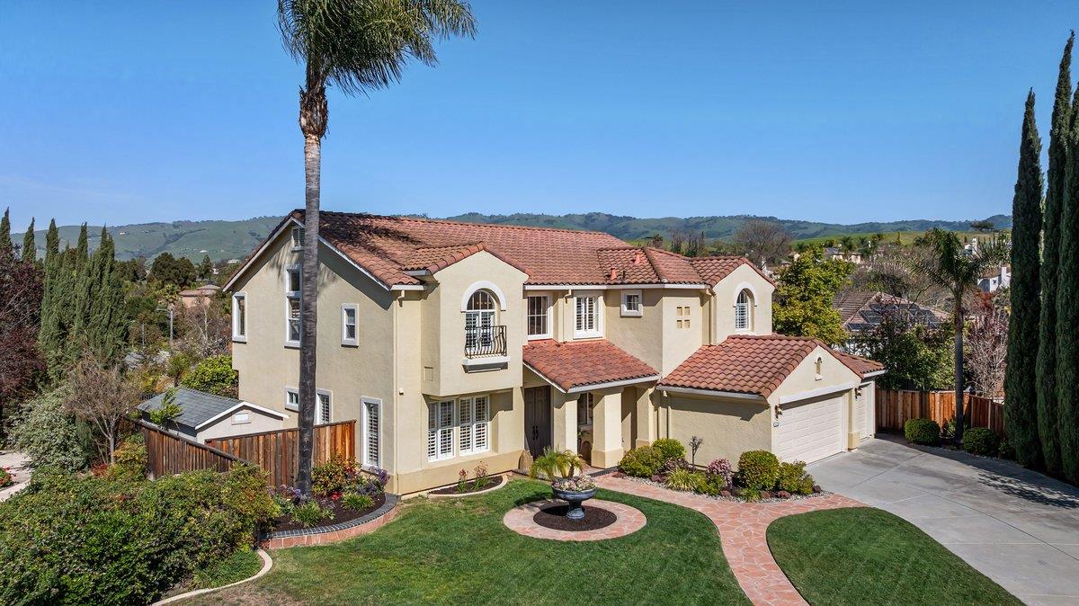
Dove Hill, San Jose, CA
Keywords: East Hillside, Valley Views, Quiet Tract
Dove Hill is a quiet residential tract on the lower eastern hillsides of San Jose, in the Evergreen-adjacent part of the city where the valley starts to lift toward the foothills. It is single-family territory on gently rising ground, a calm, low-key pocket with a bit of elevation and, on some blocks, a valley view. ... See Full Page
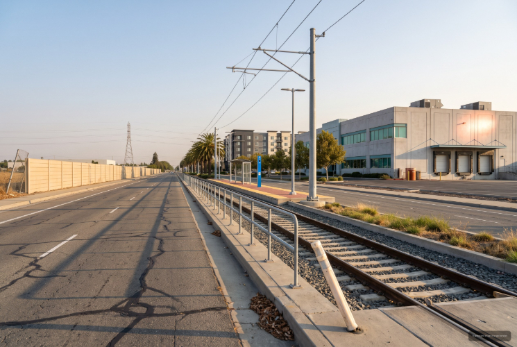
North San Jose, San Jose, CA
(1) Limited data(2) City data used
Keywords: Innovation District, Tech Campuses, Business Park
North San Jose is more a job center than a neighborhood, and it is honest to say so. This is the city's tech business-park corridor, the Innovation District, where Cisco and other campuses, R&D buildings and big-box uses fill wide-set parcels along First Street and Tasman Drive, served by VTA light rail and edged by the Guadalupe River Trail. Housing here is limited and mostly newer high-density infill dropped into a largely commercial landscape. ... See Full Page
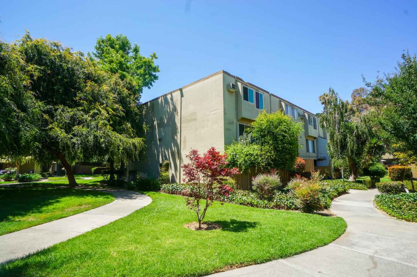
Northlake, San Jose, CA
(2) City data used
Keywords: Stevens Creek Strip, Mixed Housing, Santa Clara Line
Northlake is a thin strip of northern West San Jose that runs up toward the Stevens Creek Boulevard corridor near the Santa Clara city line, and it is more a practical address than a storybook neighborhood. The housing here mixes apartments and condos with single-family blocks, and the location's selling point is access: Stevens Creek and Saratoga Avenue put you on major bus corridors and within a short drive of Valley Fair, Santana Row and Westgate, with the freeways close behind. ... See Full Page
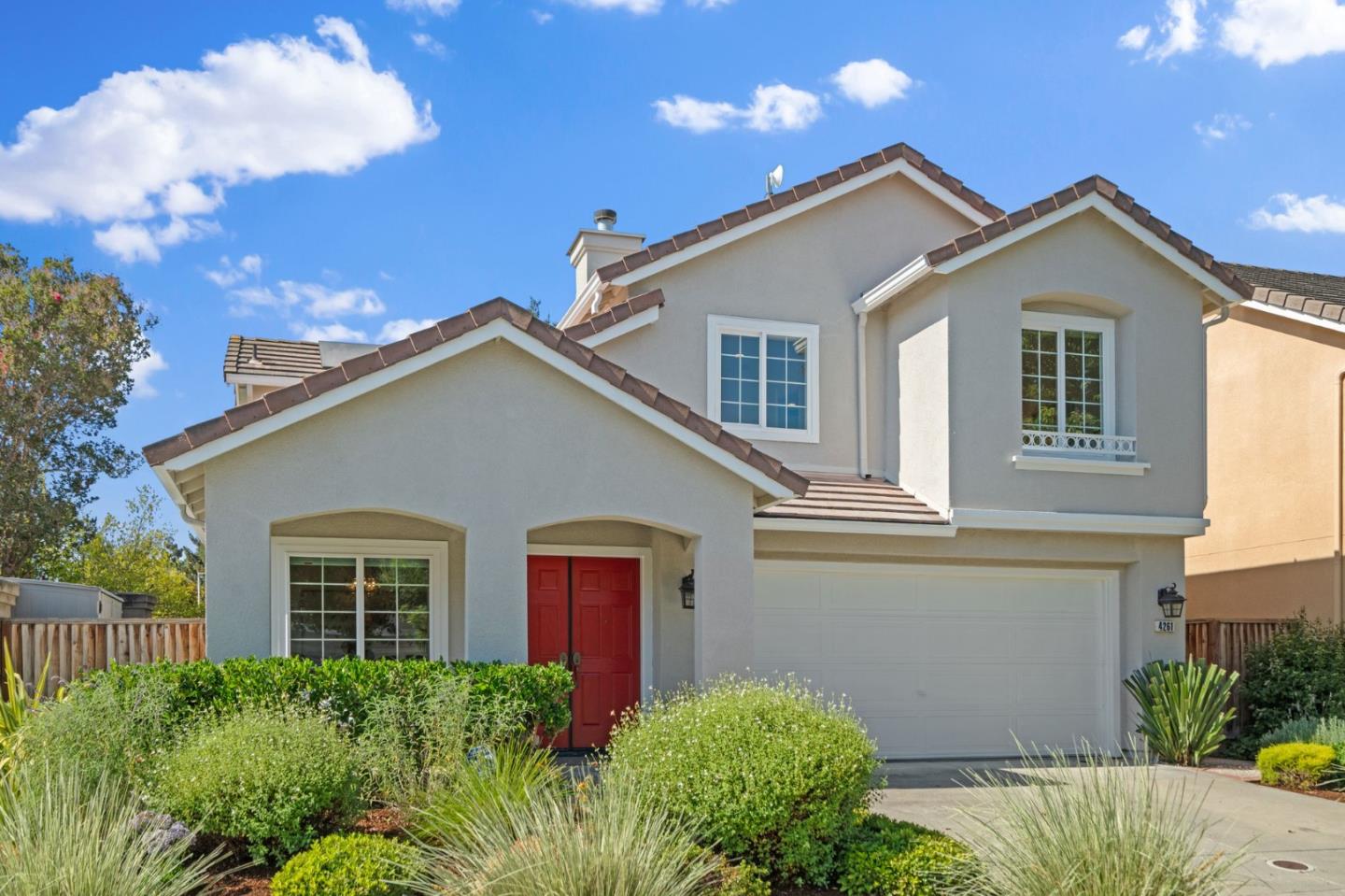
Rincon de los Esteros, San Jose, CA
(2) City data used
Keywords: Baylands Edge, Industrial District, River Trail
Rincon de los Esteros is the far northern, industrial edge of San Jose, where the tech business parks give way to the low-lying baylands stretching toward Alviso and the bay. The name, roughly 'corner of the estuaries,' fits the geography. It is a non-residential district of R&D campuses, industrial buildings and office parks along the First Street and Tasman light-rail corridor, with the Guadalupe River Trail on one side and the salt-marsh wetlands of the Don Edwards refuge not far to the north. ... See Full Page
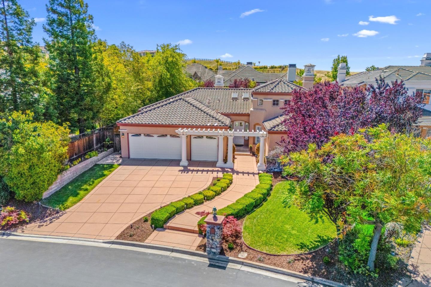
Silver Creek Valley, San Jose, CA
Keywords: Gated Country Club, Private Golf, Hillside Luxury
Silver Creek Valley is San Jose's marquee gated golf community, wrapped around a private championship course in the eastern foothills. The Silver Creek Valley Country Club, whose Ted Robinson-designed course opened in 1992, is the heart of it, and the neighborhood is a collection of gated, HOA-governed luxury homes climbing the Silver Creek Hills above the valley, with open-space preserves for a backdrop. ... See Full Page
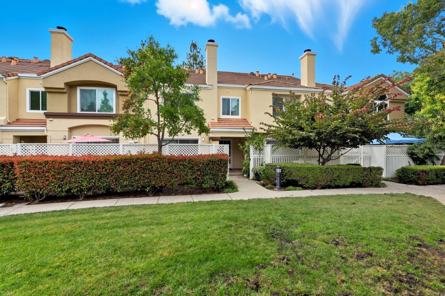
Silver Leaf, San Jose, CA
Keywords: Silver Leaf Park, Light-Rail Access, Eighties Tract
Silver Leaf is a tidy early-1980s pocket of south San Jose built around its own small park, and it quietly has one thing much of this end of the city lacks: light rail you can actually reach. The VTA stations at Cottle and Santa Teresa are close, linking it to the whole valley without the expressway, and the Cottle Road shopping with its Target and Safeway handles the everyday runs. ... See Full Page
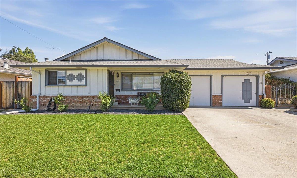
Blackford, San Jose, CA
(2) City data used
Keywords: Starbird Park, Historic Campus, Creek Corridor
Blackford is a West San Jose neighborhood with a naming puzzle and a genuinely good park. The name comes from the historic Blackford school complex on Blackford Avenue, now home to a private prep school, and it is worth knowing that the current Blackford Elementary is actually several miles east near Willow Glen, so check school assignments by address before you fall for the name. ... See Full Page
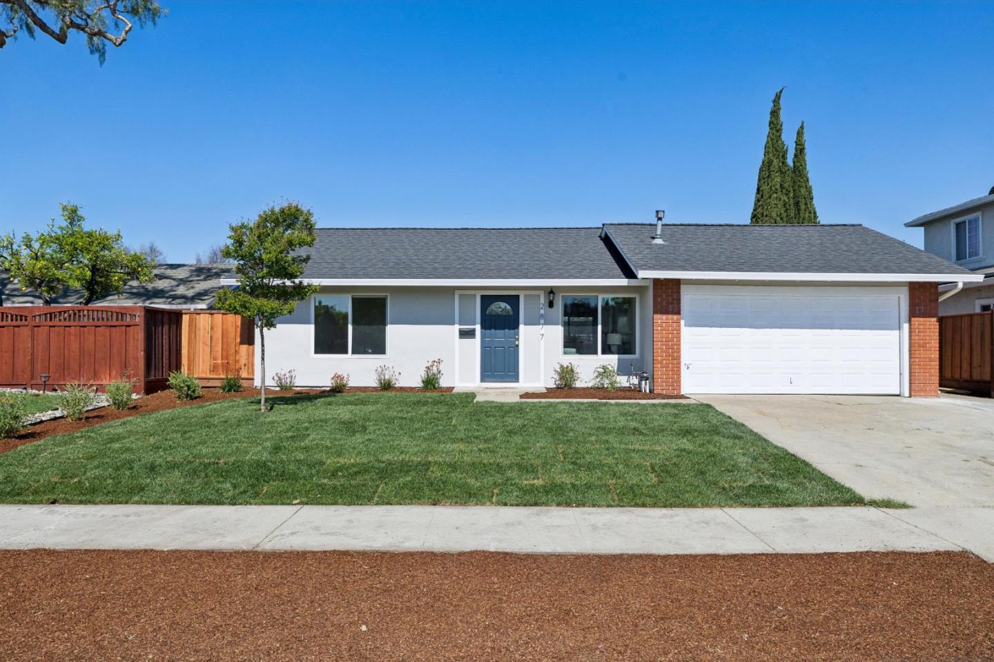
Cherrywood, San Jose, CA
Keywords: Cherrywood Elementary, East Berryessa, Creek Nearby
Cherrywood is a quiet residential tract on the eastern side of the Berryessa district, named for its elementary school, which anchors the neighborhood the way so many Berryessa-area tracts are organized around their schools. It is flat, former-orchard single-family stock on calm interior streets, part of the Berryessa Union area, with the Penitencia Creek corridor nearby for green space and the Capitol and Piedmont arterials handling connections. ... See Full Page
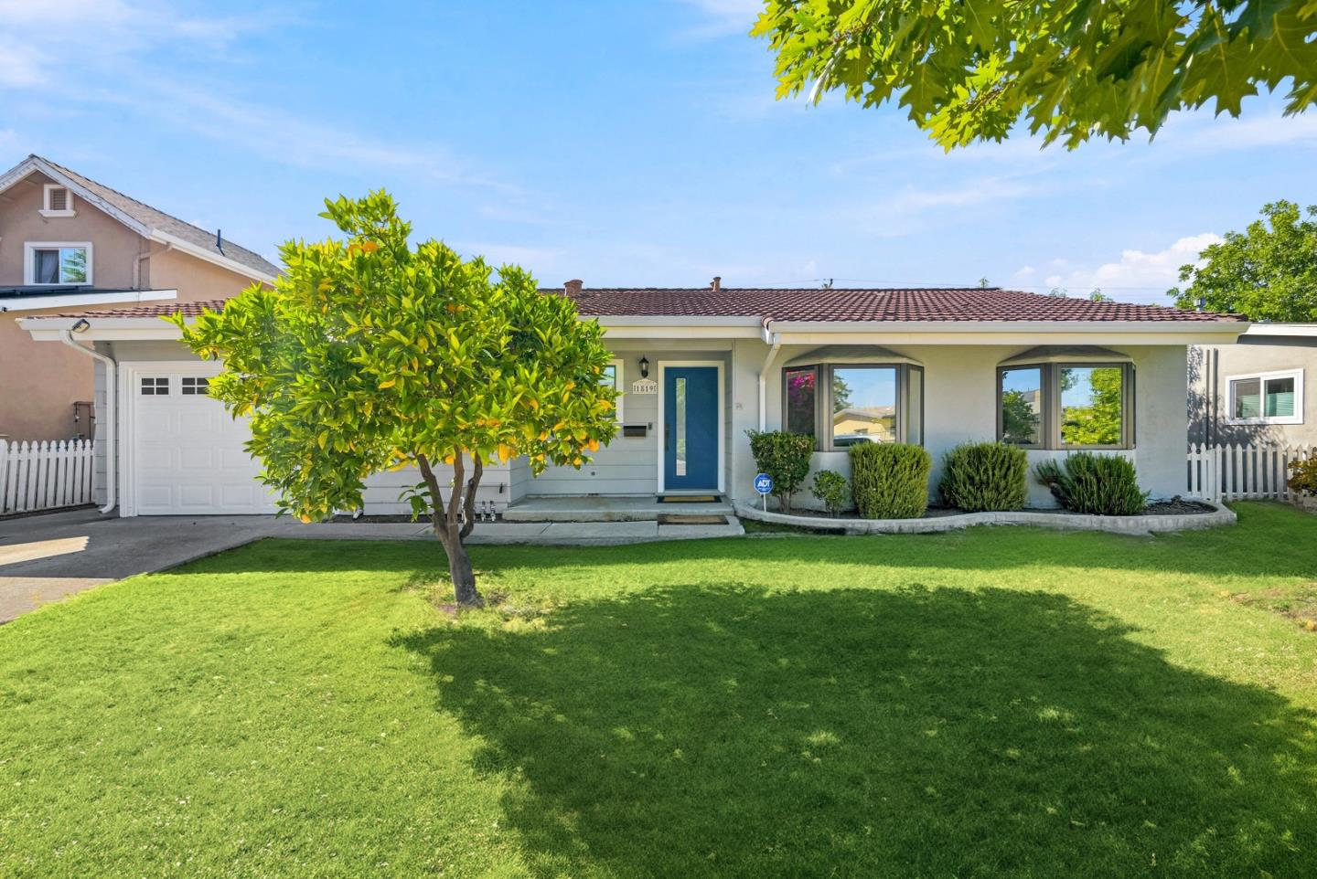
Payne, San Jose, CA
(2) City data used
Keywords: Payne Avenue, Westgate Access, Creek Edge
Payne is a West San Jose neighborhood strung along its namesake avenue, and its location does a lot of the work. Westgate Center and the El Paseo de Saratoga shopping sit at the southwest, the Saratoga Creek corridor runs the western edge for a bit of green, and the neighborhood elementary is just off the east side. It is flat, single-family Moreland-district territory, the kind of established, mid-century tract that trades on being convenient and calm rather than scenic. ... See Full Page
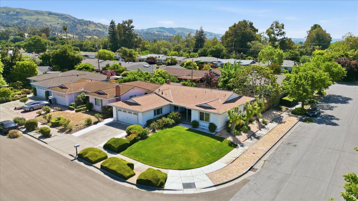
Cataldi, San Jose, CA
Keywords: Foothill Open Space, Residential West End, Boccardo Trail
Cataldi is really two things in one polygon: a settled residential tract at its western end and a big band of undeveloped Diablo Range foothill above it to the east. On the valley side, it is flat, former-orchard single-family stock in the Berryessa Union school area near the Cataldi Drive and Morrill Avenue streets, with the neighborhood park just over the line and the schools close. ... See Full Page
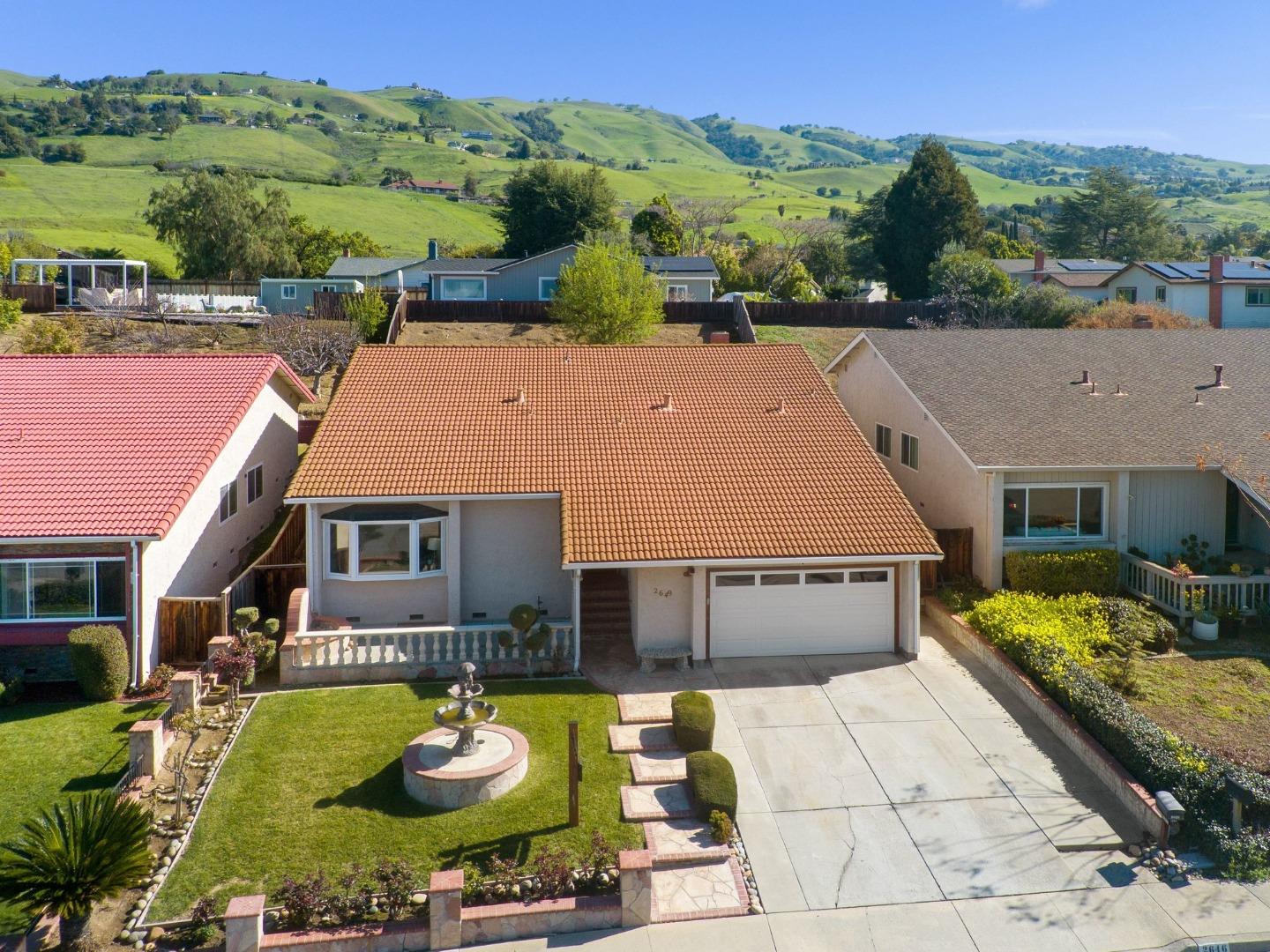
Clayton South, San Jose, CA
Keywords: Grant Park Gateway, Mt Hamilton Road, Semi-Rural
Clayton South is where San Jose gives way to the open hills of the Diablo Range. This is a large, semi-rural foothill area climbing east along Clayton Road and Mount Hamilton Road, running from settled residential blocks near the valley up into large-lot and acreage properties in the hills. ... See Full Page
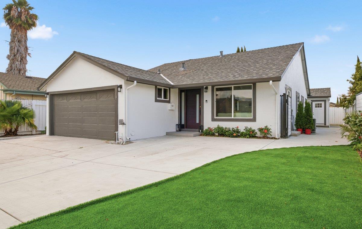
Lundy, San Jose, CA
Keywords: Berryessa BART, Flea Market Site, Transit Hub
Lundy is, somewhat surprisingly, the neighborhood that actually contains the Berryessa BART station, along with the historic San Jose Flea Market site and the new development rising around it. That makes it the real transit hub of the north side: BART, a bus transit center, and a major redevelopment all sit within its borders on the flat valley floor, which is a rare thing in a city where most homes are nowhere near heavy rail. ... See Full Page
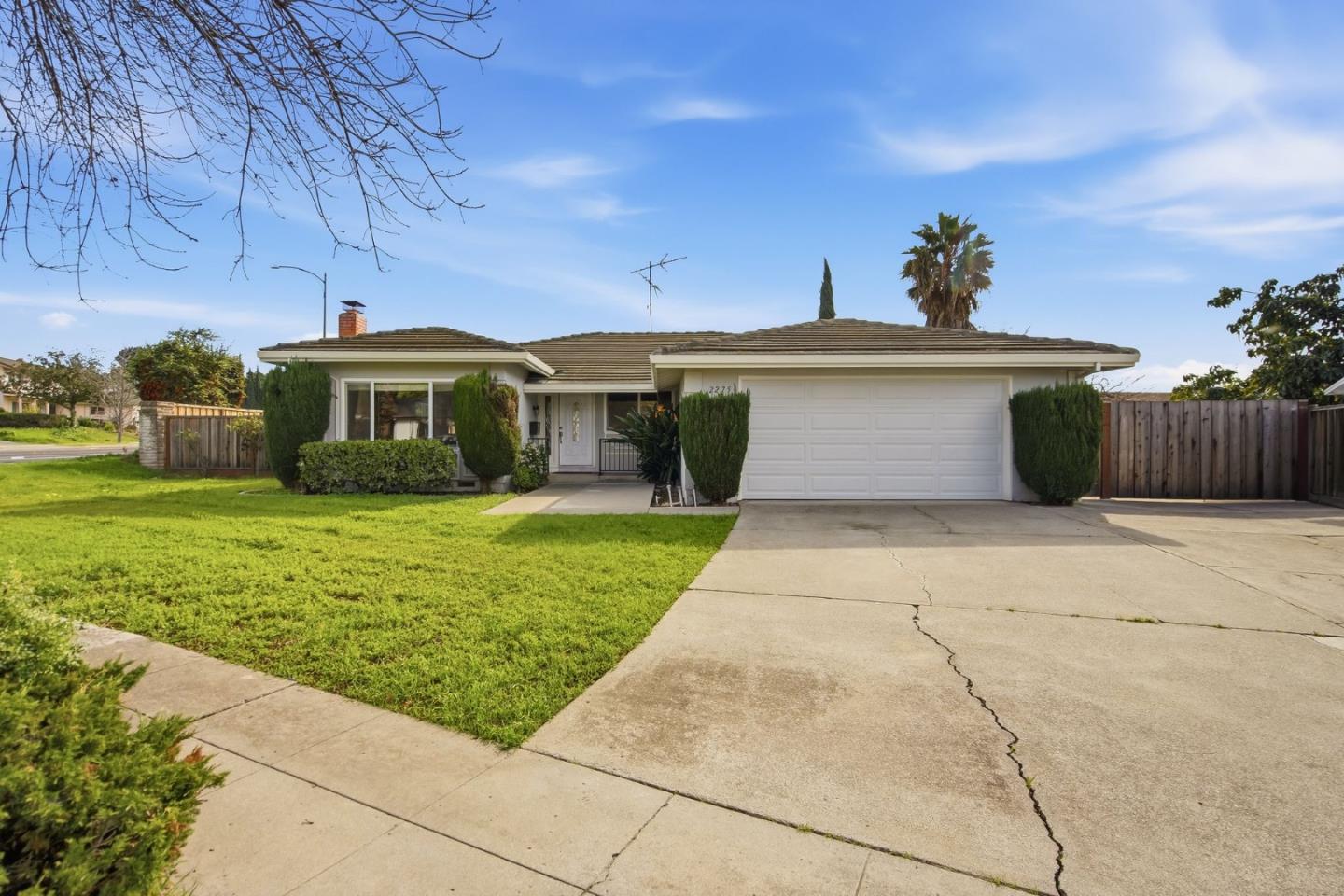
Norwood, San Jose, CA
Keywords: East Valley Tract, Evergreen Edge, Quiet Streets
Norwood is a quiet residential neighborhood on the east side of San Jose, sitting in the transition zone between the valley floor and the lower Evergreen foothills. It is single-family tract territory in the Evergreen school-district area, the kind of settled, suburban pocket that trades on being calm and reasonably priced rather than on any headline amenity. ... See Full Page
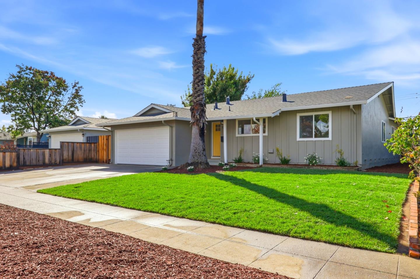
Robertsville, San Jose, CA
Keywords: Expressway Edge, Gunderson Area, Quiet Interior
Robertsville is a quiet, established slice of south-central San Jose that most people know as a school name before a place, part of the Gunderson High attendance area on the west side of the Almaden Expressway. It is mid-century single-family tract housing on the flat valley floor, the sort of settled, unremarkable-in-a-good-way neighborhood where the streets are calm and the prices are more reachable than in the Cambrian or Almaden pockets nearby. ... See Full Page
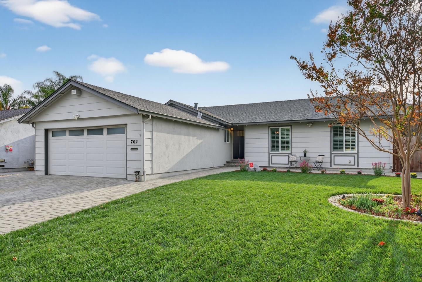
Santa Teresa Foothills West, San Jose, CA
Keywords: Foothill Grid, Expressway Access, Hill Backdrop
The western half of the Santa Teresa foothills trades a little of the ridge-top view for a lot more convenience. The homes here still sit on the rising ground at the base of the hills, but they are closer to the Almaden Expressway and Highway 85, which puts shopping on Blossom Hill Road and a fast route across the valley within easy reach. It is late-1960s-and-newer single-family stock, well kept, with the county-park open space a bit farther up the slope than it is for the east side. ... See Full Page
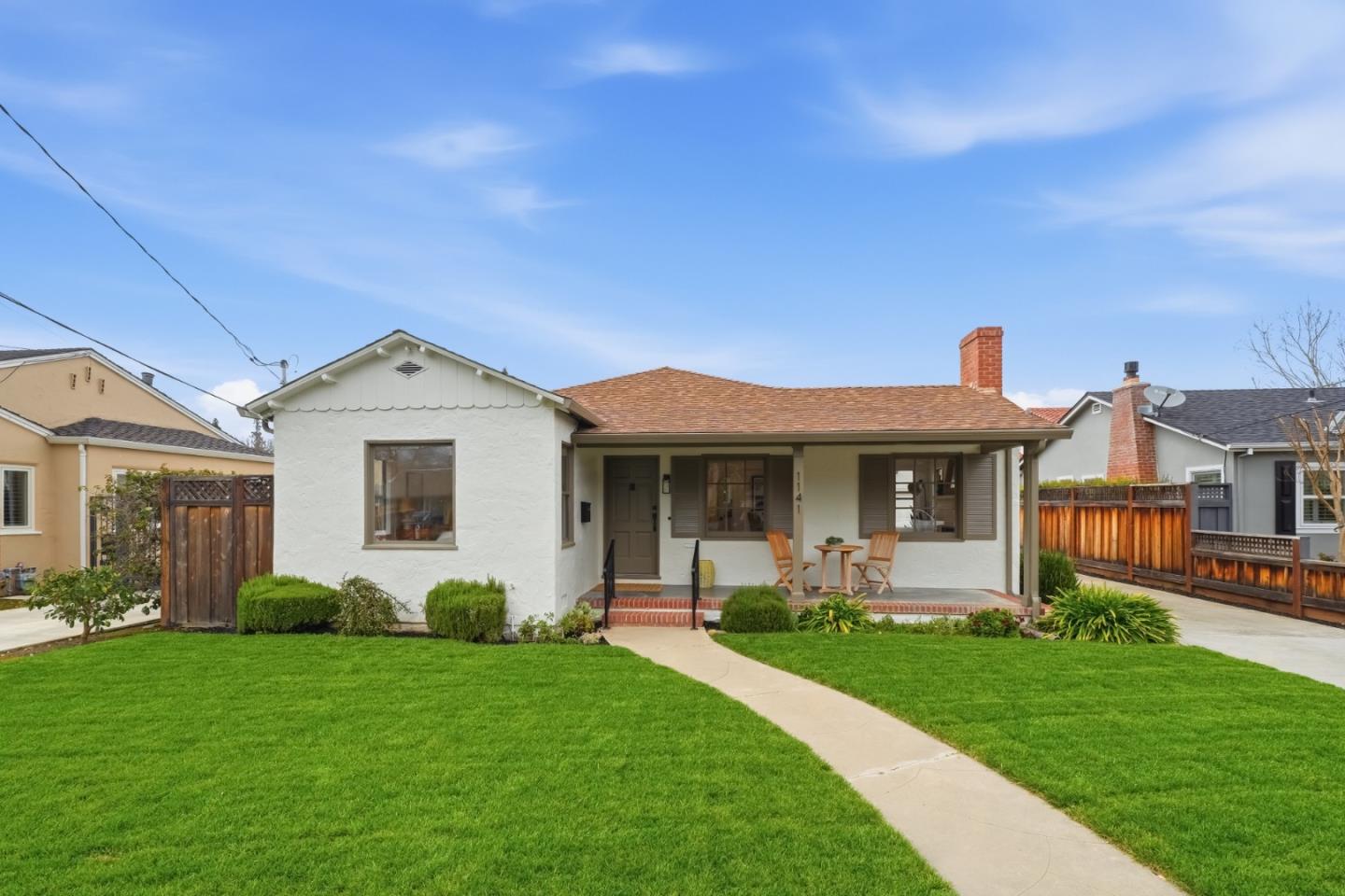
Willow Glen, San Jose, CA
Keywords: Lincoln Avenue, Bungalow Grid, Walkable Main Street
Willow Glen is the neighborhood that made central San Jose feel like a small town, and it has the origin story to match. The name comes from the willow-and-cattail marsh that once filled this low ground between the Guadalupe River and Los Gatos Creek, drained in 1860 to open the land to orchards. When San Jose tried to route the Southern Pacific railroad down Lincoln Avenue in the 1920s, residents were so opposed that they incorporated their own independent City of Willow Glen in 1927, then voted to be annexed back into San Jose in 1936 to get sewer service. That fiercely local streak never left. ... See Full Page
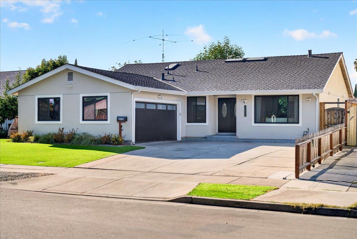
Yum Yum Tract, San Jose, CA
(2) City data used
Keywords: Lake Cunningham, Raging Waters, East Valley
Yum Yum Tract wins the prize for the most unusual neighborhood name in San Jose, and it happens to sit next to one of the East Side's best recreation assets. Lake Cunningham Regional Park falls right inside the area, bringing an artificial lake, the Lake Cunningham skate park, one of the largest in the country, and the Raging Waters water park, a serious cluster of recreation for a modest east-valley tract. ... See Full Page
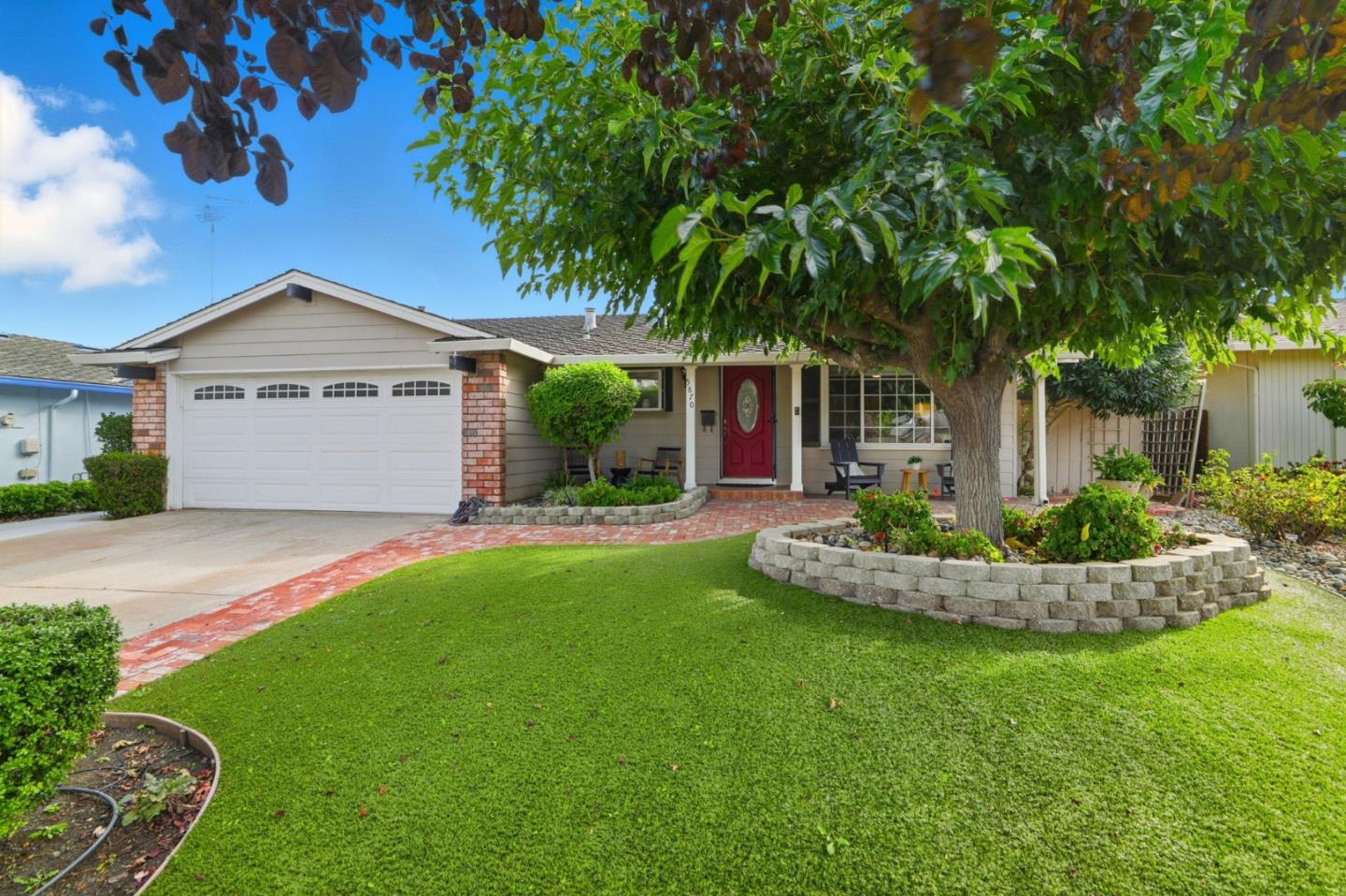
Alamitos, San Jose, CA
Keywords: Creek Greenbelt, Los Alamitos Trail, Almaden Edge
Alamitos is the creekside seam where Almaden proper starts to loosen into the wider south valley, and the water is what defines it. The Los Alamitos Creek greenbelt runs right through the neighborhood, giving these blocks a shaded trail and a genuine outdoor spine, and Almaden Lake sits just off the northwest edge as an easy add-on for a longer walk or a lazy afternoon. The homes are single-family tracts from the 1960s and 70s strung along the creek, with the neighborhood elementary in the middle. ... See Full Page
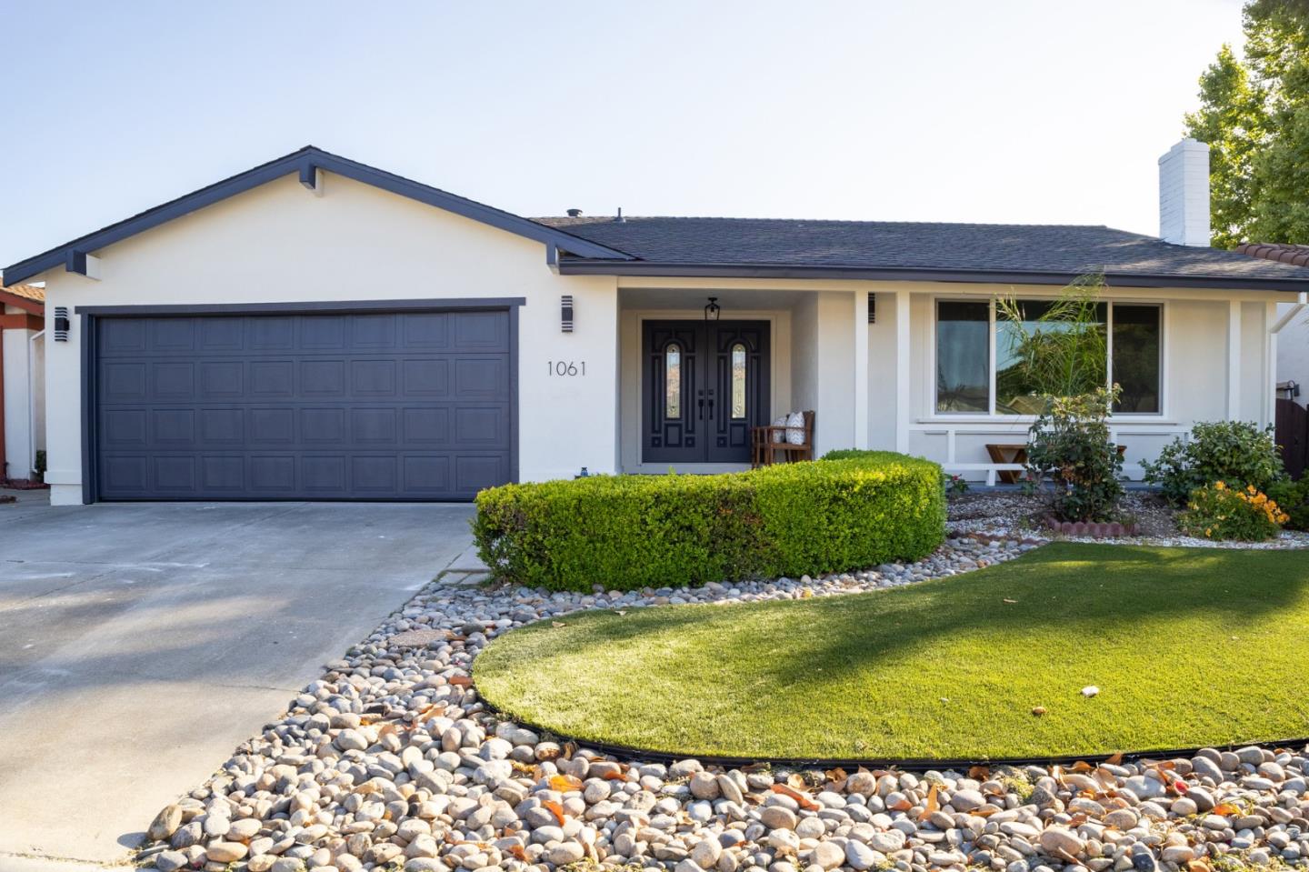
Berryessa, San Jose, CA
Keywords: Berryessa Market, Creek Corridors, Former Orchards
Berryessa is the big, settled bedroom district of northeast San Jose, and its name reaches back to the Berreyesa family, the prominent Californio landholders whose Mexican-era ranchos once covered much of this ground and who also lent their name to Napa County's Lake Berryessa. In the orchard era this was famous fruit country, part of the Santa Clara Valley's 'Valley of Heart's Delight,' with apricot and prune orchards along Hostetter and Piedmont Roads before the subdivisions filled in through the 1960s and 70s. ... See Full Page
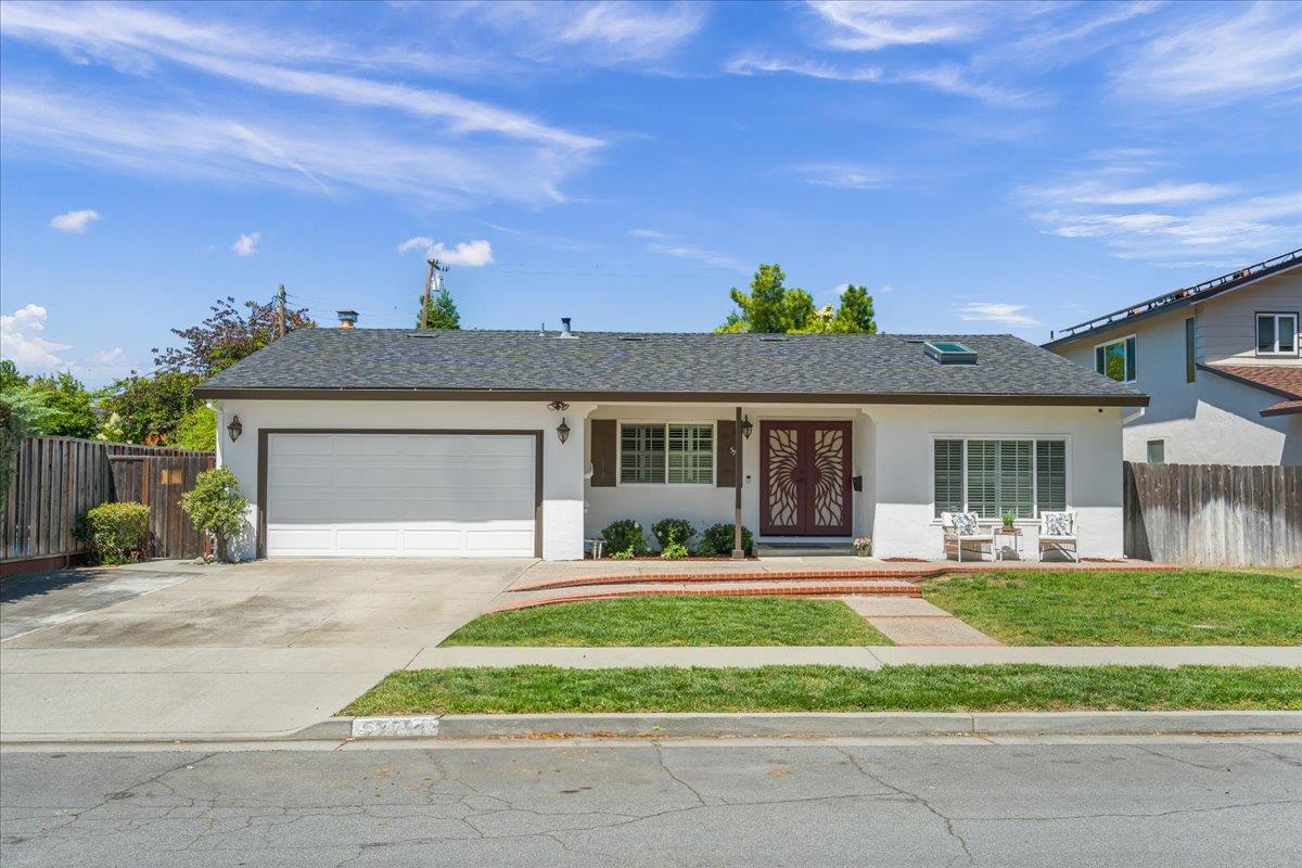
Blossom Valley, San Jose, CA
Keywords: Oakridge Mall, Light-Rail Edge, Valley-Floor Tracts
Blossom Valley is the flat, do-everything middle of south San Jose, and its calling card is the Westfield Oakridge mall sitting right at the edge. Having a full regional mall, plus the Blossom Hill and Snell light-rail stations, that close makes this one of the more genuinely convenient corners of the south valley, with the 85 and 87 freeways quick from here too. The housing is 1960s-and-newer single-family on the valley floor, medium density, solid tract stock that trades on location more than charm. ... See Full Page
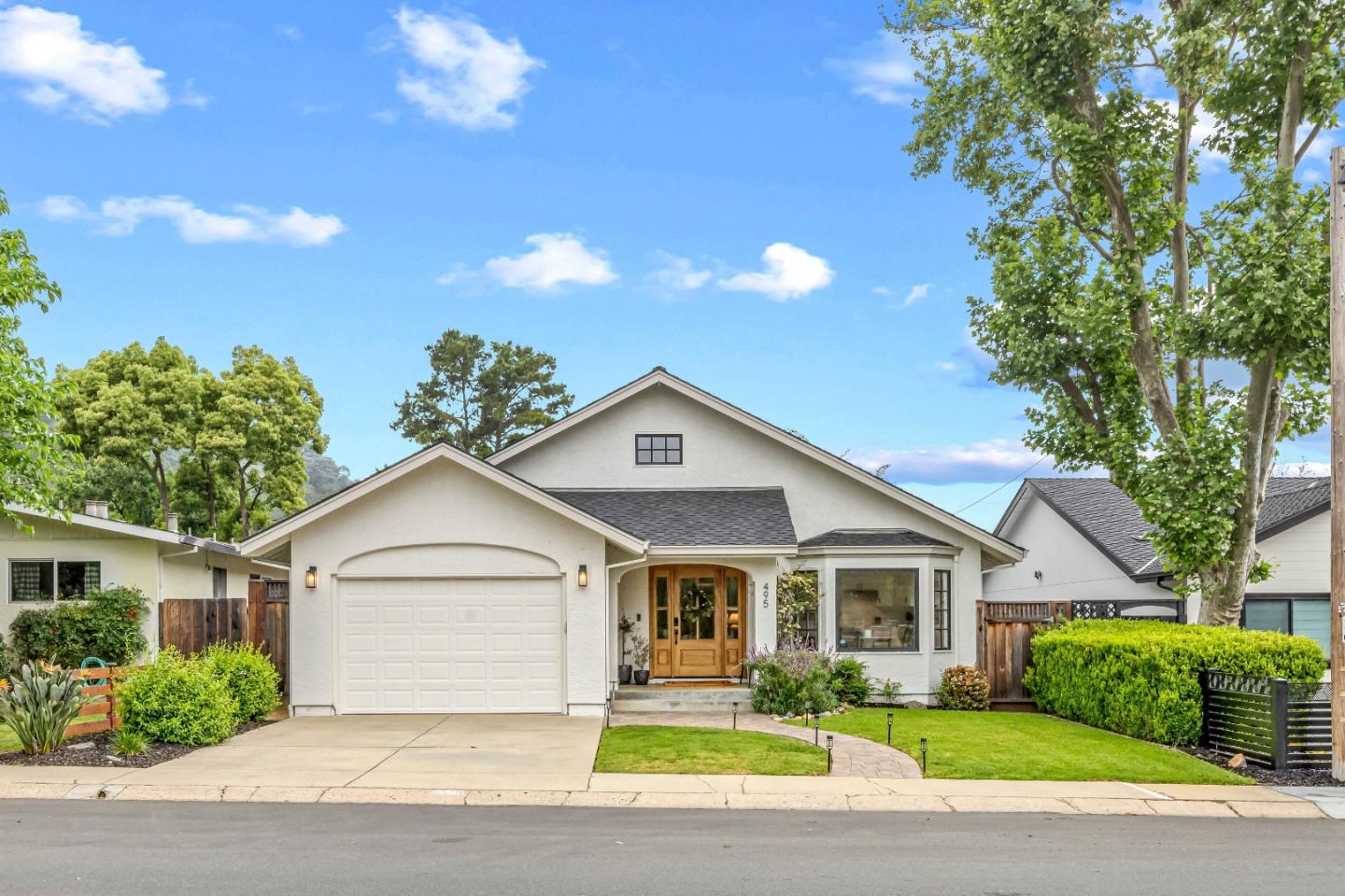
Coyote, San Jose, CA
(2) City data used
Keywords: Rural Valley, Open Space, Agricultural Land
Coyote is the part of San Jose most people forget the city even owns: the rural valley at the far south end, where the tract homes give out and the land goes back to farms, ranches and open grassland along Coyote Creek and the Monterey Road and Highway 101 corridor. After years of development fights, much of it has been deliberately protected from building, with open-space preserves rising into the hills on either side and the valley floor kept in agriculture. ... See Full Page
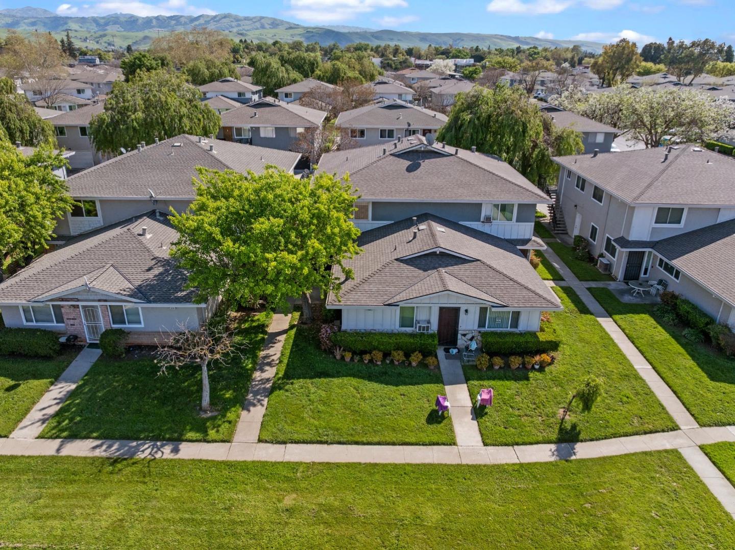
Edenvale, San Jose, CA
Keywords: Hayes Mansion, Regional Park, Former Frontier Village
Edenvale carries more history than its workaday reputation lets on, and its calling card is the Hayes Mansion, a grand landmark estate built by one of the valley's prominent early families and run for years as a hotel, with formal grounds that give this stretch of south San Jose a real sense of occasion. Just as meaningful to longtime locals is what sits beside it: Edenvale Gardens Regional Park occupies the site of Frontier Village, the Old West-themed amusement park that drew Bay Area kids from 1961 until it closed in 1980, and plenty of residents can still tell you exactly where the rides used to be. ... See Full Page
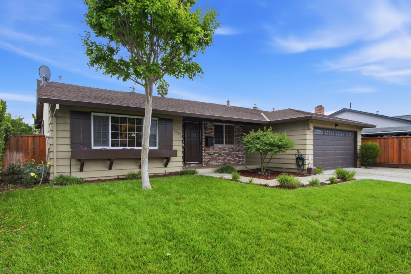
Erikson, San Jose, CA
Keywords: Ohlone-Chynoweth Station, Rail Junction, Modest Tract
Erikson's standout feature is the Ohlone/Chynoweth light-rail station tucked into its northwest corner, a junction where the main line meets the Almaden shuttle, which makes this modest south San Jose pocket genuinely transit-connected. Worth flagging: the neighborhood is named for an elementary school that closed back in 2005, so the name honors a school that is no longer a school, with the site now serving a county program. ... See Full Page
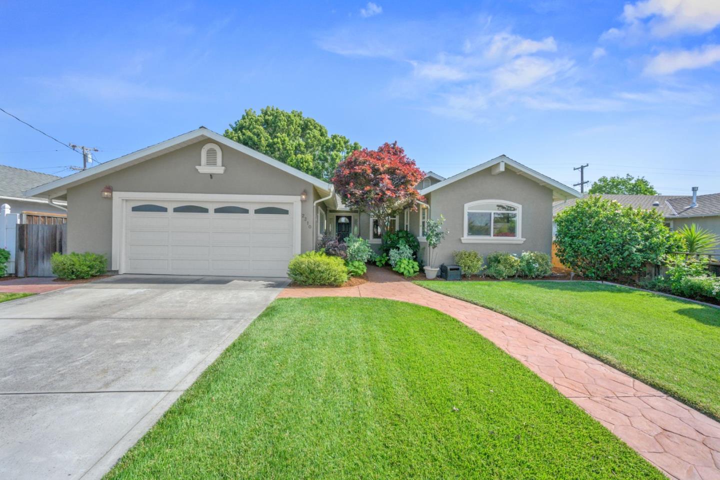
Hamann Park, San Jose, CA
(2) City data used
Keywords: Bascom Corridor, Light-Rail Nearby, Westside Pocket
Hamann Park is a residential pocket on the west side of San Jose, running up against the Bascom Avenue corridor near the Campbell border. Its practical advantage is transit: the VTA Green Line stations along Bascom and the Southwest Expressway are close, which gives this otherwise car-oriented area a genuine light-rail option, and Bascom itself carries plenty of neighborhood shopping. ... See Full Page
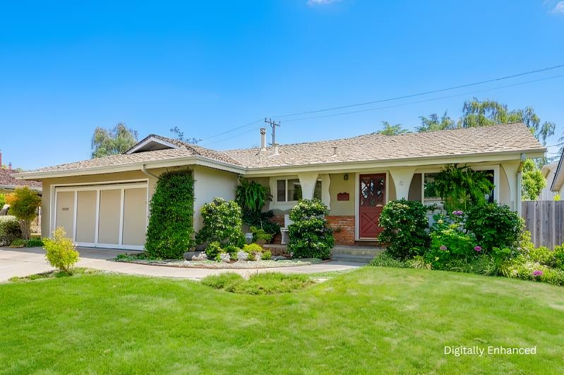
Loma Verde, San Jose, CA
(2) City data used
Keywords: Westside Tract, Campbell Schools, Quiet Grid
Loma Verde is a quiet, low-profile tract in West San Jose, the kind of settled single-family pocket that trades on schools and calm rather than any headline feature. It sits in the Campbell district area near the Hamilton Avenue corridor, on flat valley-floor streets that feel more residential-suburban than anything else. ... See Full Page
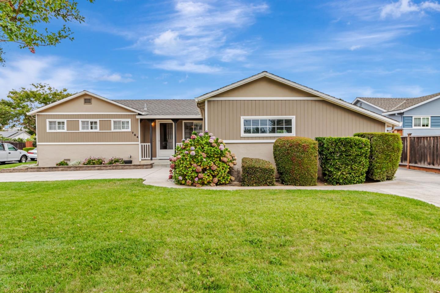
Lynhaven, San Jose, CA
Keywords: Lynhaven Elementary, Campbell Schools, Westside Grid
Lynhaven is a West San Jose neighborhood that takes its name and much of its identity from its elementary school, part of the Campbell district that draws families to this side of the city. It is flat, single-family tract territory on the valley floor near the Payne, Williams and Saratoga corridors, a settled, quiet pocket where the school and the surrounding shopping do the everyday work. ... See Full Page
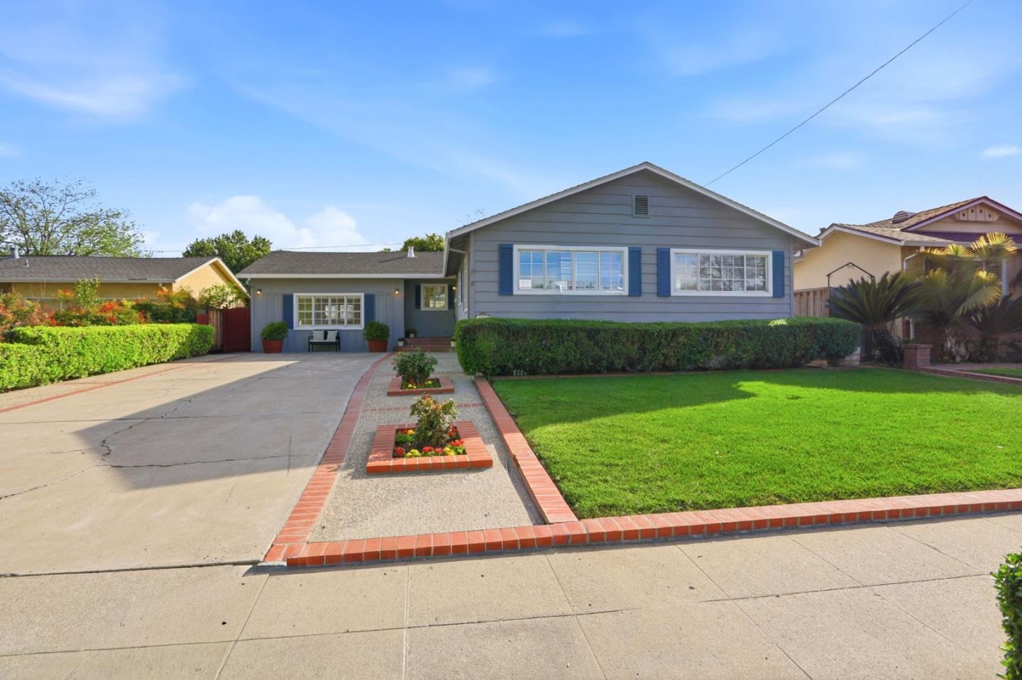
Willow Creek, San Jose, CA
(2) City data used
Keywords: Small Tract, Expressway Edge, Quiet Pocket
Willow Creek is a small, low-profile residential pocket in south-central San Jose, the kind of neighborhood that does its job quietly and does not turn up much in guides or listings. It is a compact single-family tract on the flat valley floor near the Almaden Expressway, which is both its convenience and its catch: that arterial puts shopping and a quick route across the valley close by, while running enough traffic along the edge that you notice it. ... See Full Page
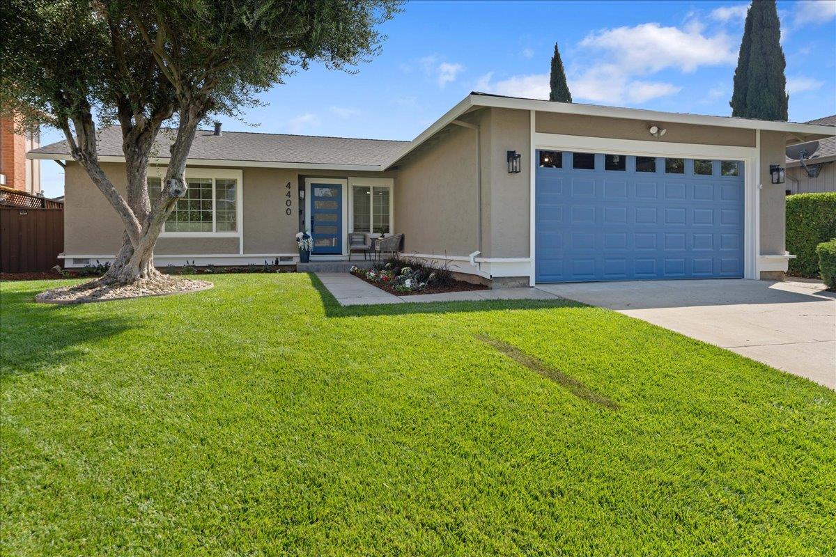
Branham, San Jose, CA
Keywords: Two Rail Stations, Highway 87, Transit Corridor
The Branham neighborhood is, more than anything, a transit address: two VTA light-rail stations, Branham and Capitol, sit right in it along the Highway 87 corridor, which is unusually good rail access for a residential pocket this far south. That is the thing to know here, because the well-known Branham High School and Branham Park that share the name actually sit a few miles west, in a different neighborhood entirely. ... See Full Page
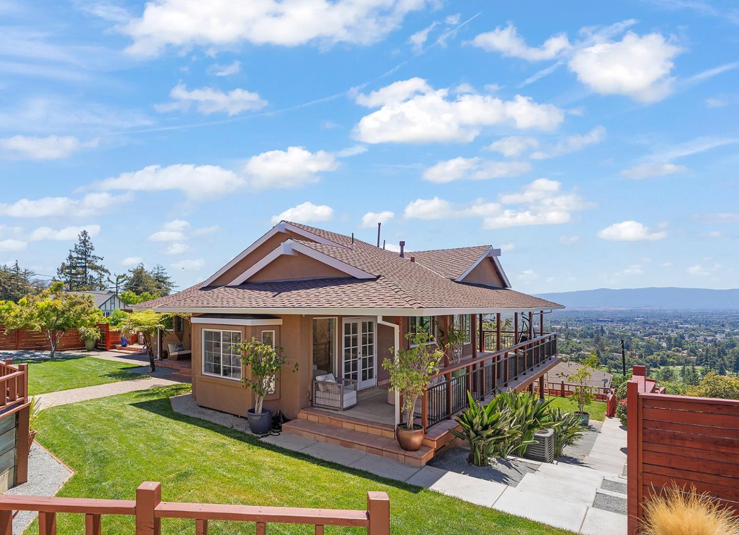
East Foothills, San Jose, CA
Keywords: Hillside Views, Large Lots, Open Space
East Foothills is where San Jose trades sidewalks for views. Climbing the Diablo Range hills above the East Side flats, it is a hillside enclave of larger lots and spread-out homes, some in the city and some in unincorporated county pockets, with valley panoramas that most of San Jose never gets and the open space of Alum Rock Park just to the northeast. The appeal is space, quiet and scenery, a semi-rural feel a short drive from the valley floor. ... See Full Page
Golden Triangle, San Jose, CA
(2) City data used
Keywords: Tech Business Park, Freeway-Bounded, Employment Core
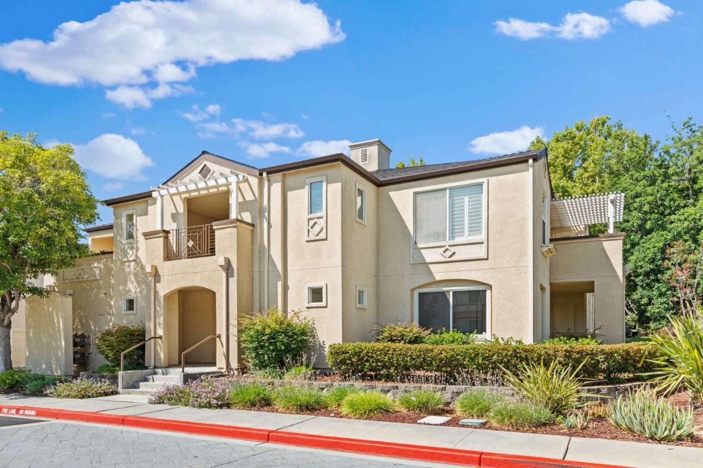
The Golden Triangle is the economic engine room of North San Jose, the tech and industrial business-park district roughly bounded by US-101, Interstate 880 and Highway 237. It is the dense heart of the north-side employment corridor: office and R&D campuses, industrial buildings and big-box retail spread across large parcels, with VTA light rail running the First Street and Tasman corridor. ... See Full Page
Hellyer Christopher, San Jose, CA
Keywords: Coyote Creek, Velodrome Nearby, Freeway-Edge Tract
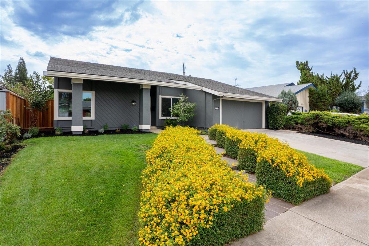
Hellyer Christopher is a flat tract neighborhood west of US-101 along Hellyer Avenue, and it lives right next to one of south San Jose's best recreation assets. Just across the freeway sits Hellyer County Park, home to the region's Olympic-size velodrome, the fishing waters of Cottonwood Lake, disc golf and a long stretch of the Coyote Creek Parkway trail. Those are serious outdoor amenities to have on your doorstep, even if they are technically on the far side of the water. ... See Full Page
McLaughlin Corridor, San Jose, CA
Keywords: McLaughlin Avenue, Central Tract, Bus Corridor
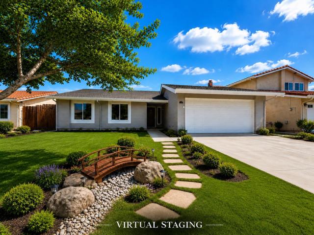
McLaughlin Corridor is exactly what its name suggests: a residential neighborhood built along McLaughlin Avenue in south-central East San Jose, defined more by that spine than by any single landmark. It is flat, older residential and mixed fabric on the valley floor, an affordable, central pocket well served by bus along McLaughlin and close to the freeways and the East Side's dense mix of shopping and culture. ... See Full Page
Parkview, San Jose, CA
Keywords: Capitol Station, Hill-Base Tract, Light-Rail Access
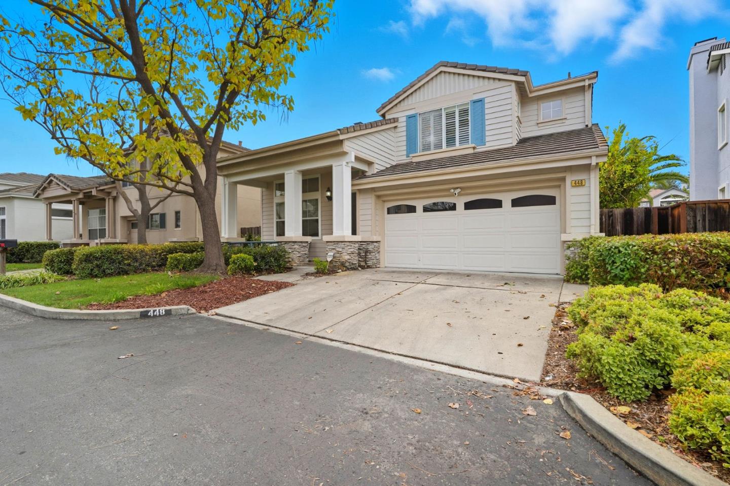
Parkview sits at the flat base of Communications Hill, and its ace is transit: the Capitol light-rail station is right at the western edge, which is a real advantage in a part of the city where most neighborhoods are car-only. This is older single-family tract housing on the level ground below the hill, anchored by its namesake elementary, and it makes for an interesting contrast, the established, lower-slung streets here against the newer townhomes stacking up the slope just above. ... See Full Page
Rose Garden, San Jose, CA
Keywords: Municipal Rose Garden, Historic Homes, Rosicrucian Park
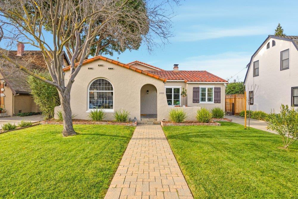
The Rose Garden is central San Jose at its most photogenic, and it is named for the real thing: the San Jose Municipal Rose Garden, a formal 5.5-acre park laid out on a former prune orchard, with the city buying the land in 1927 and dedicating the garden in 1937. Volunteers rescued it after budget cuts in the 2000s, and in 2010 it was named the country's 'America's Best Rose Garden,' a point of genuine neighborhood pride that locals time their spring visits around. ... See Full Page
Senter Monterey North, San Jose, CA
(2) City data used
Keywords: Corridor Living, Arterial Edges, Valley Floor
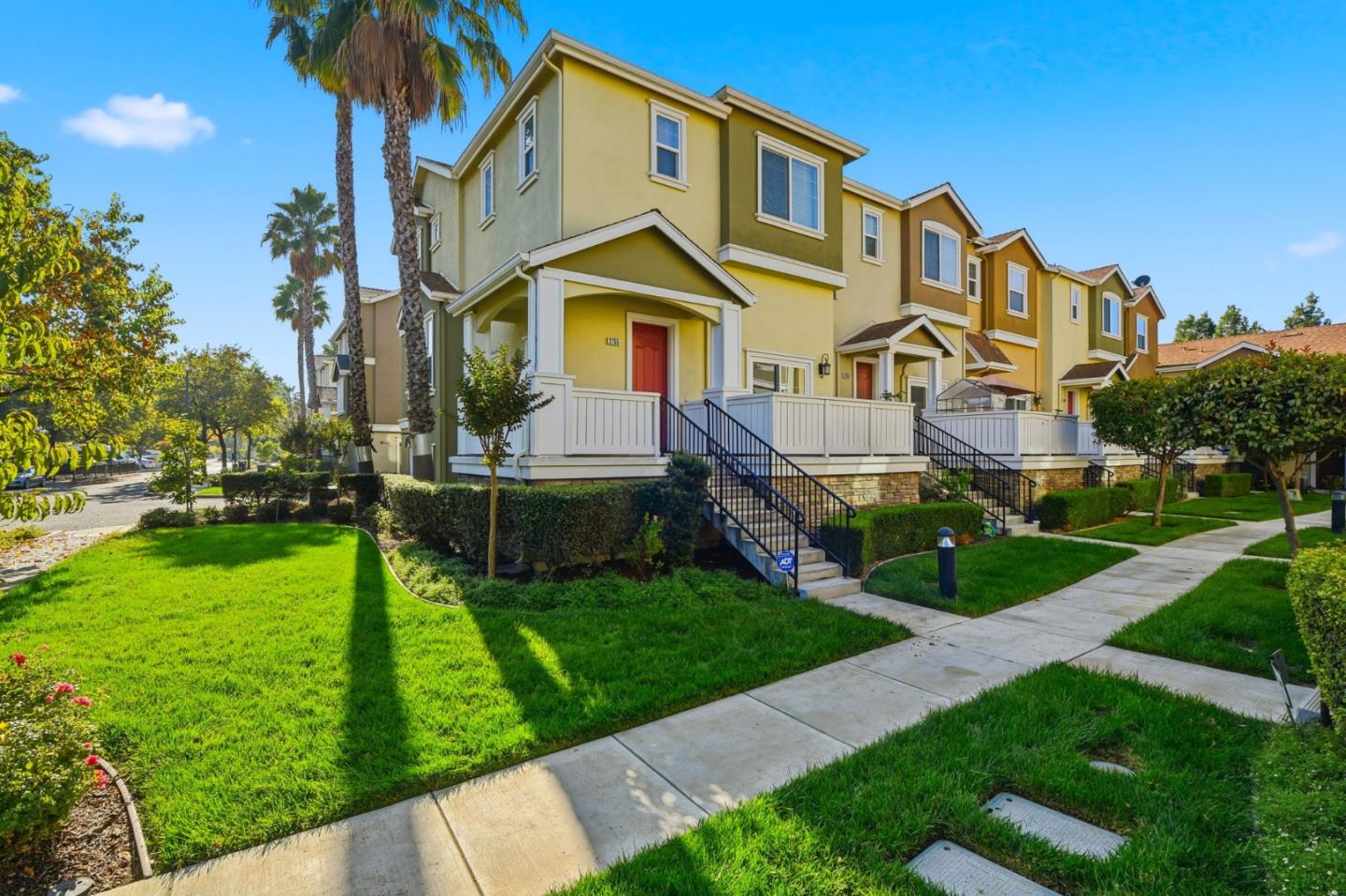
Senter Monterey North is exactly what the name says: a residential corridor threaded between Senter Road on one side and the Monterey Highway on the other, in the flat working middle of south San Jose. It is post-war housing built for value, and its location is defined by those two busy arterials plus the older rail-and-industrial band that runs along the Monterey Highway. ... See Full Page
Wayne, San Jose, CA
(2) City data used
Keywords: Oakland Road, Freeway Strip, Corridor Living
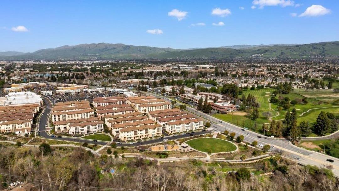
Wayne is a narrow strip of the north side dominated by the Interstate 680 and Oakland Road corridor, and that infrastructure is the defining fact of the neighborhood. It is a mix of residential blocks and Oakland Road corridor commercial and light-industrial uses on the flat valley floor, with the Berryessa BART station just off the eastern edge. ... See Full Page
Willow Glen South, San Jose, CA
Keywords: Willow Glen Edge, Quiet Streets, Established Homes
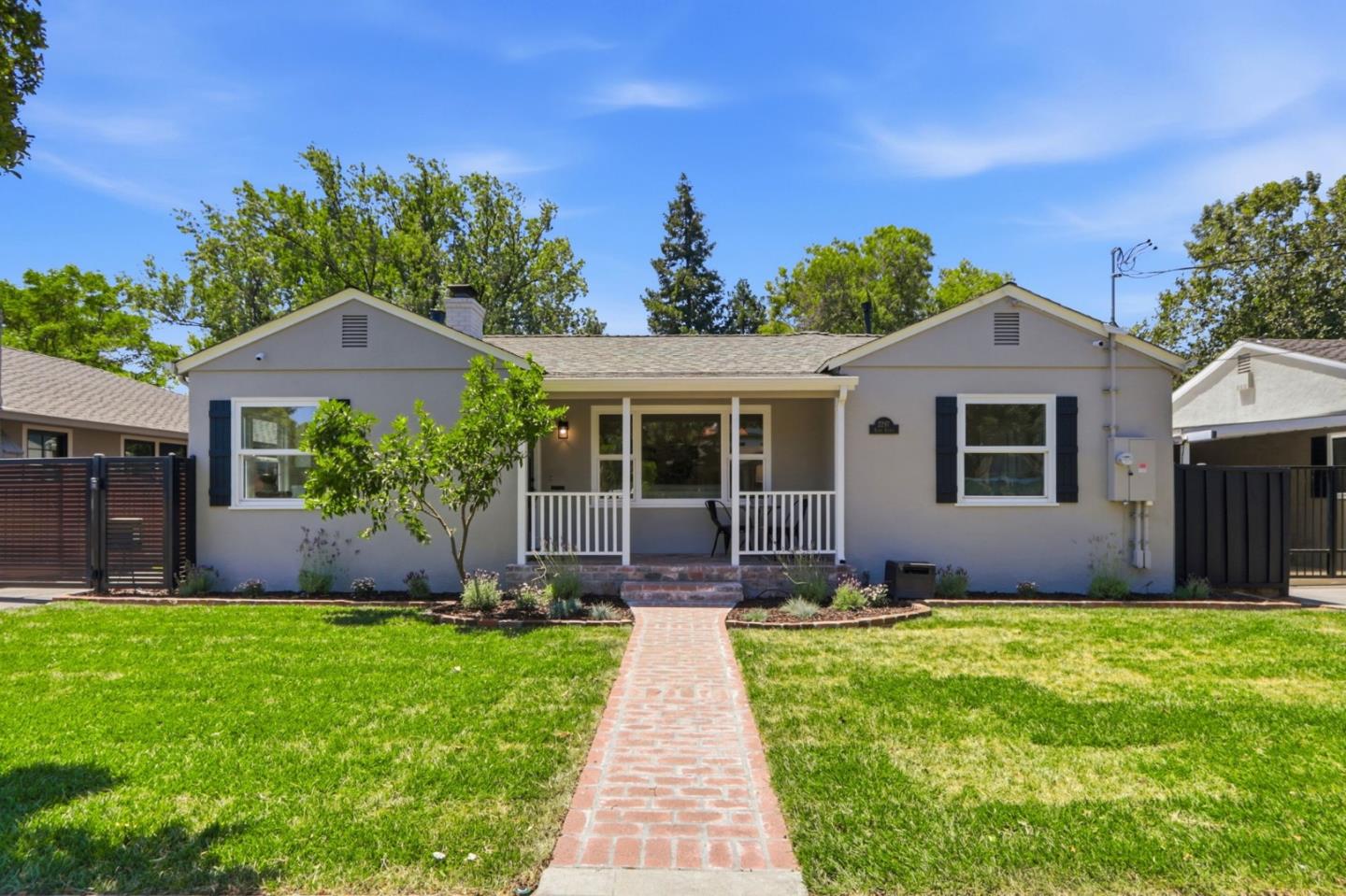
Willow Glen South is the calmer, more residential tail of Willow Glen, the part where the neighborhood settles down into quiet streets before it reaches Almaden Road. It carries the same established, canopied character that gives the district its name, with older single-family homes on comfortable lots, but the walkable Lincoln Avenue core and Willow Glen High sit up to the north, so daily amenities are more nearby than underfoot. ... See Full Page
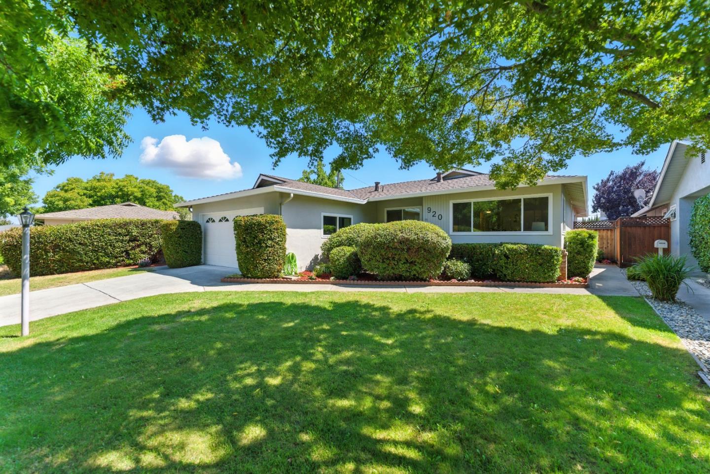
Cory, San Jose, CA
Keywords: Westside Tract, Moreland Area, Saratoga Corridor
Cory is a West San Jose neighborhood that is best described by its geography rather than its name, because the label does not line up cleanly with any street or school inside it. On the ground, this is a flat residential tract in the Saratoga, Kiely and Moorpark triangle, part of the Moreland district area, with Gullo Park at the southwest edge and the Saratoga Avenue shopping corridor along the east. ... See Full Page
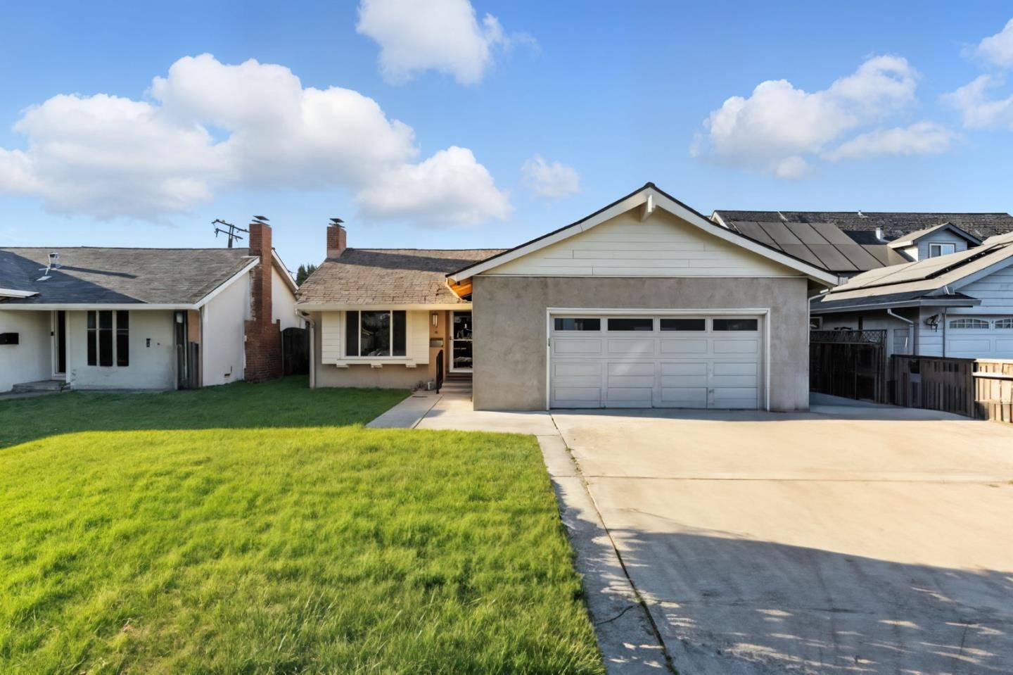
Cottle to Lean, San Jose, CA
Keywords: Anderson Elementary, Original Owners, Snell Station
Cottle to Lean is the kind of neighborhood where some of the original 1960s buyers are still on the block, and that tells you most of what you need to know. It is a settled single-family tract with its own elementary at the center, tucked between Blossom Hill Road on the north and Highway 85 on the south, with Lean Avenue closing the west side, boundaries so defined that the neighborhood association draws them the same way. That gives it a self-contained, known-your-neighbors feel. ... See Full Page
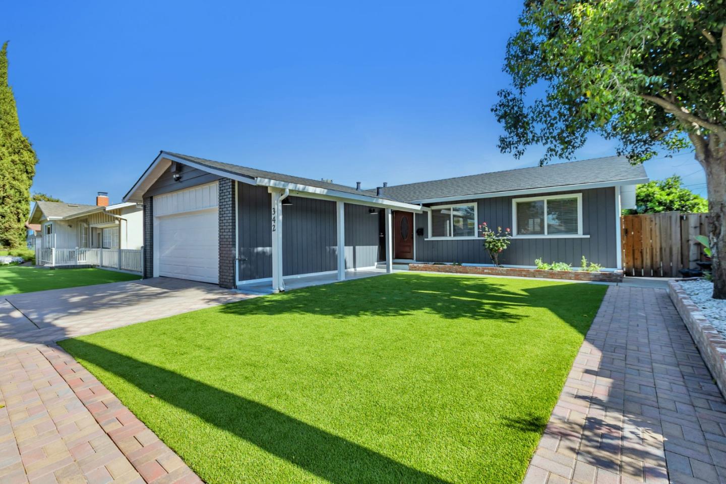
Great Oaks Park, San Jose, CA
(2) City data used
Keywords: Namesake Park, Skate Park, Park-Wrapped Tract
Great Oaks Park is a neighborhood that lives up to its name in the most literal way: the streets wrap around the park they are named for, and it is a good one, with a skate park, ball fields, basketball courts and a pair of playgrounds packed into more than a dozen acres. For a flatland tract in this part of the city, that kind of recreation right in the middle of the neighborhood is a genuine asset, and the Coyote Creek greenbelt and trail add more open space just to the east. ... See Full Page
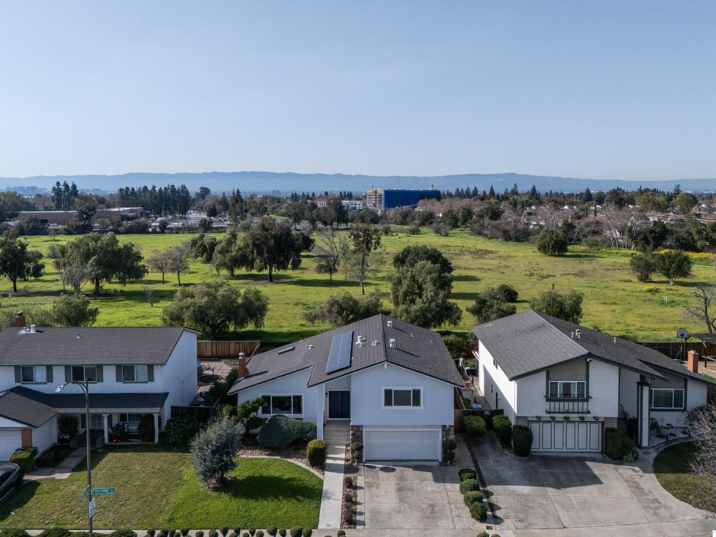
Penitencia, San Jose, CA
Keywords: Penitencia Creek Park, Creek Trail, Foothill Border
Penitencia takes its name from the creek that gives it its best feature: the Penitencia Creek corridor and its trail run through the neighborhood, and Penitencia Creek Park sits right inside it, a paved greenway that follows the water toward the foothills. That creek-and-trail spine is a real amenity, and it puts this east-Berryessa pocket a notch above the typical flatland tract for green space and walkability along the water. ... See Full Page
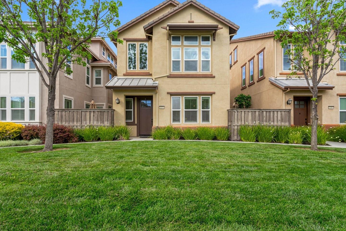
La Colina, San Jose, CA
Keywords: La Colina Park, Community Garden, Suburban Grid
La Colina is a straightforward south San Jose tract that punches a little above its weight because of its park. La Colina Park anchors the middle of the neighborhood with a playground, picnic areas, a community garden and a walking loop, which gives the streets around it a genuine center that a lot of tracts this size never get. The housing is established single-family from the late 1960s and 70s, flat and quiet, with the Santa Teresa hills as a backdrop and the county-park trails a short drive off. ... See Full Page
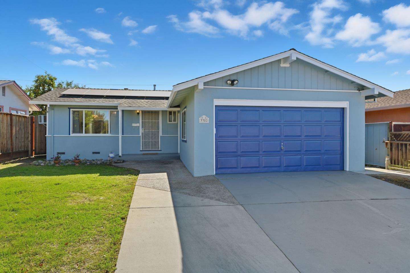
Mt. Pleasant, San Jose, CA
(2) City data used
Keywords: Mt Pleasant High, White Road, Foothill Edge
Mt. Pleasant is a foothill-base neighborhood on the East Side, anchored by the high school that shares its name and gives the area its Friday-night identity. Set where the valley floor along White Road begins to rise toward the hills, it is a mid-century single-family district that has the feel of a settled, slightly-removed pocket, closer to the open country than the dense flats to the west. ... See Full Page
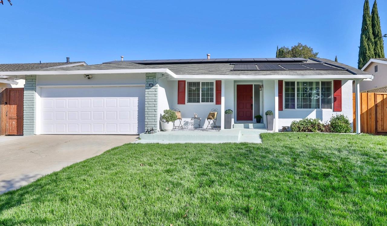
Oak Grove, San Jose, CA
(2) City data used
Keywords: High-School Fields, Monterey Corridor, Established Tract
Oak Grove is the settled pocket that grew up around its high school, just east of Monterey Road where Blossom Hill Road cuts across the south valley. It is flat, established single-family territory, the kind of long-standing tract where the large high-school campus and its fields double as the neighborhood's open space and Friday-night center of gravity. The location is practical: Blossom Hill and Monterey Road put shopping and services close, and US-101 is a quick connection north or south. ... See Full Page
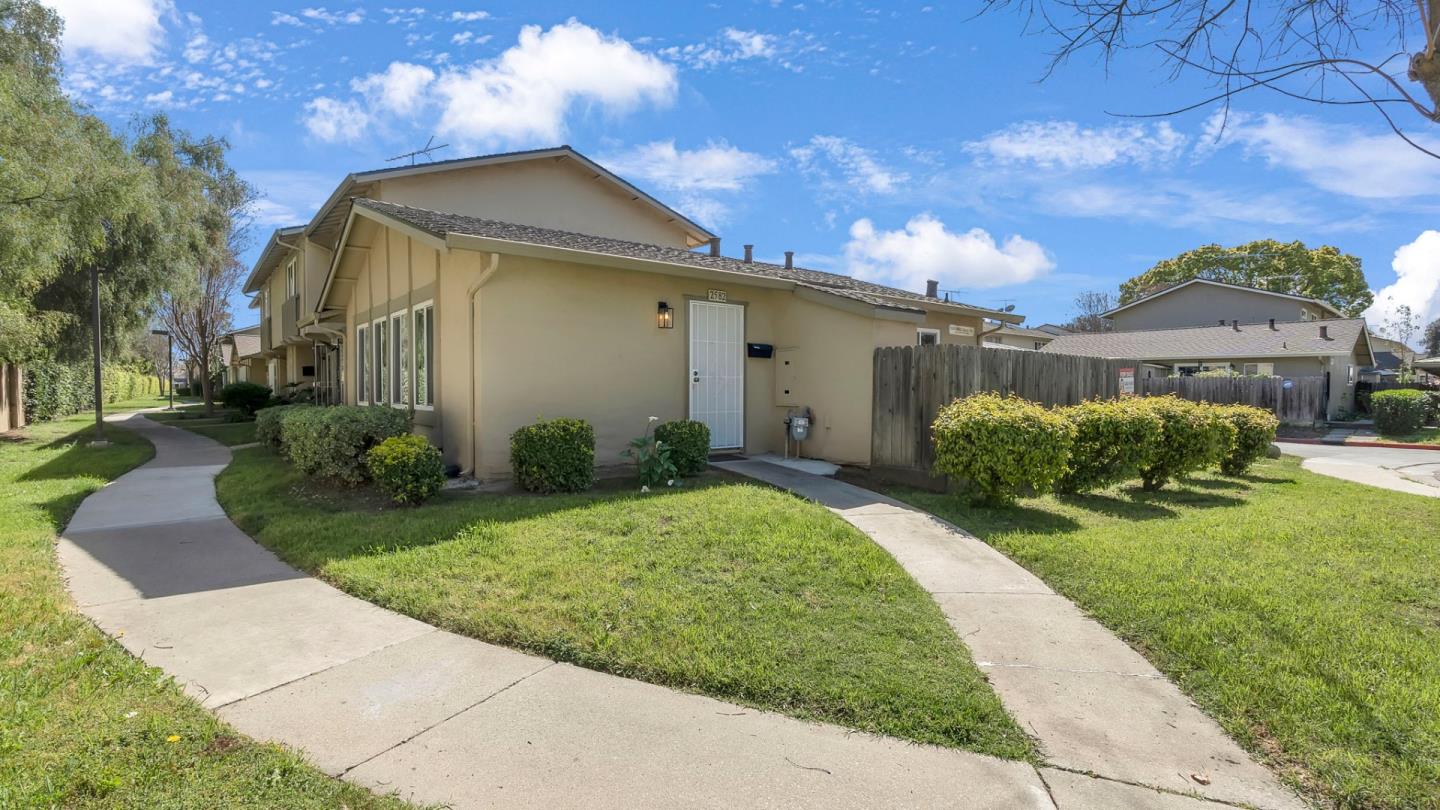
West Evergreen, San Jose, CA
(2) City data used
Keywords: Silver Creek High, Eastridge Access, Valley Floor
West Evergreen is the flatter, more urban front edge of the Evergreen area, sitting on the valley floor between the Capitol Expressway and the Aborn and Silver Creek corridors. Silver Creek High School sits inside it, and its biggest practical advantage is access: the Eastridge mall and the Eastridge Transit Center, one of the East Side's main bus hubs, are right at the northern edge, with a light-rail extension to Eastridge under construction that will make this one of the better-connected east-side pockets. ... See Full Page
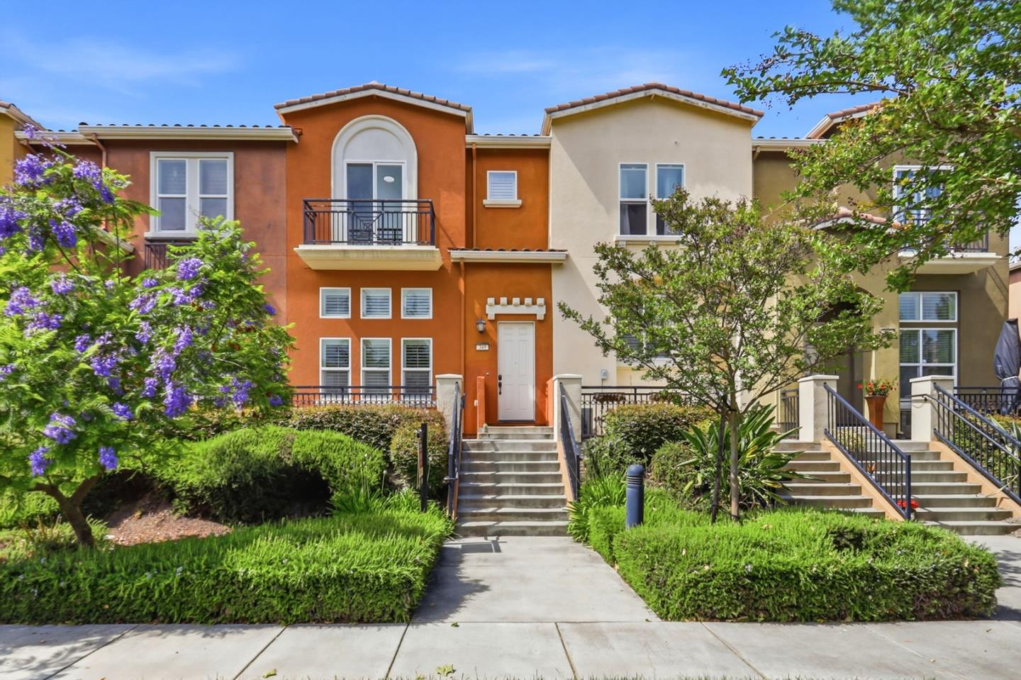
Communications Hill, San Jose, CA
(2) City data used
Keywords: Grand Staircase, Hilltop Rowhouses, Panoramic Views
Communications Hill does not look like anywhere else in San Jose, and that is the whole point. Long before the townhomes, the Tamien Ohlone quarried stone from this ridge; in the early 20th century it was 'Dairy Hill,' home to the Azevedo family's big dairy operation, and later a rock quarry chewed at its flanks. The city began planning the largely barren hill in the 1980s and adopted the Communications Hill Specific Plan in 1992, and dense residential construction, townhomes and rowhouses built on smart-growth principles, took off in the early 2000s. The name itself comes from the old communications tower at the summit. ... See Full Page
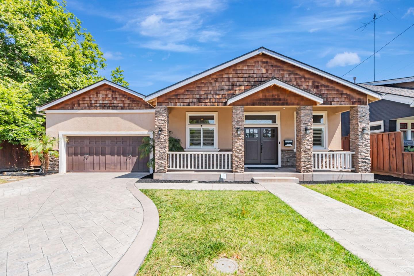
Gardner, San Jose, CA
Keywords: Biebrach Pool, Freeway-Boxed, Central Pocket
Gardner is one of San Jose's oldest neighborhoods, and also one of its most hemmed-in. A compact grid of roughly ten streets tucked south of downtown, it is boxed on nearly every side by Interstate 280, Highway 87, Bird Avenue and the rail line, which gives it a tight, self-contained, slightly cut-off feel that its residents tend to guard fiercely. It has a genuine working-class identity and long, multigenerational roots. ... See Full Page
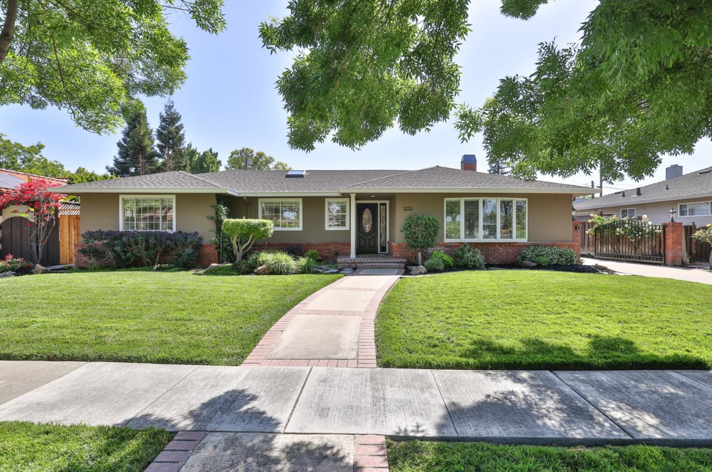
Hamilton Place, San Jose, CA
(2) City data used
Keywords: Fruitdale Station, Rail Corridor, Bascom Edge
Hamilton Place is a transit-oriented pocket of west-central San Jose whose standout feature is the Fruitdale light-rail station sitting right in it, along the Southwest Expressway corridor. That gives the neighborhood genuine rail access to downtown and the West Side, a real advantage over the car-only tracts around it. ... See Full Page
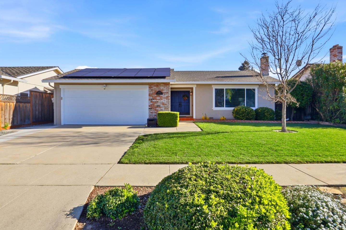
Kooser Wood, San Jose, CA
Keywords: Expressway Crossing, Wide Tract, Valley Floor
Kooser Wood is a wide, flat residential band in south San Jose whose defining feature, honestly, is the Almaden Expressway cutting across it. That gives the neighborhood fast connections to shopping and the freeways and puts light-rail stations within reach to the east, but it also means a major arterial runs through the middle of daily life here, with the traffic and noise that come with it. ... See Full Page
Mayfair, San Jose, CA
(2) City data used
Keywords: Mayfair Park, Chicano Heritage, Chavez Legacy
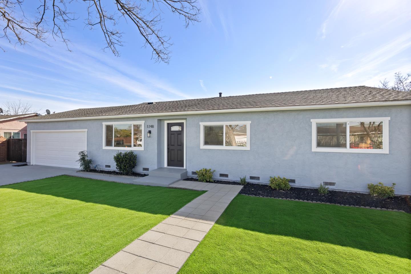
Mayfair is one of the most historically significant neighborhoods in East San Jose, the ground where Cesar Chavez began his life as a community organizer. Living in this barrio, long known by the older nickname Sal Si Puedes, or 'get out if you can,' Chavez was recruited into the Community Service Organization by Fred Ross in 1952 and mentored by the activist priest Father Donald McDonnell at Our Lady of Guadalupe Church, work that set him on the path to founding the farmworker movement. ... See Full Page
Senter Monterey South, San Jose, CA
(2) City data used
Keywords: Capitol Caltrain, Highway Corridor, Modest Homes
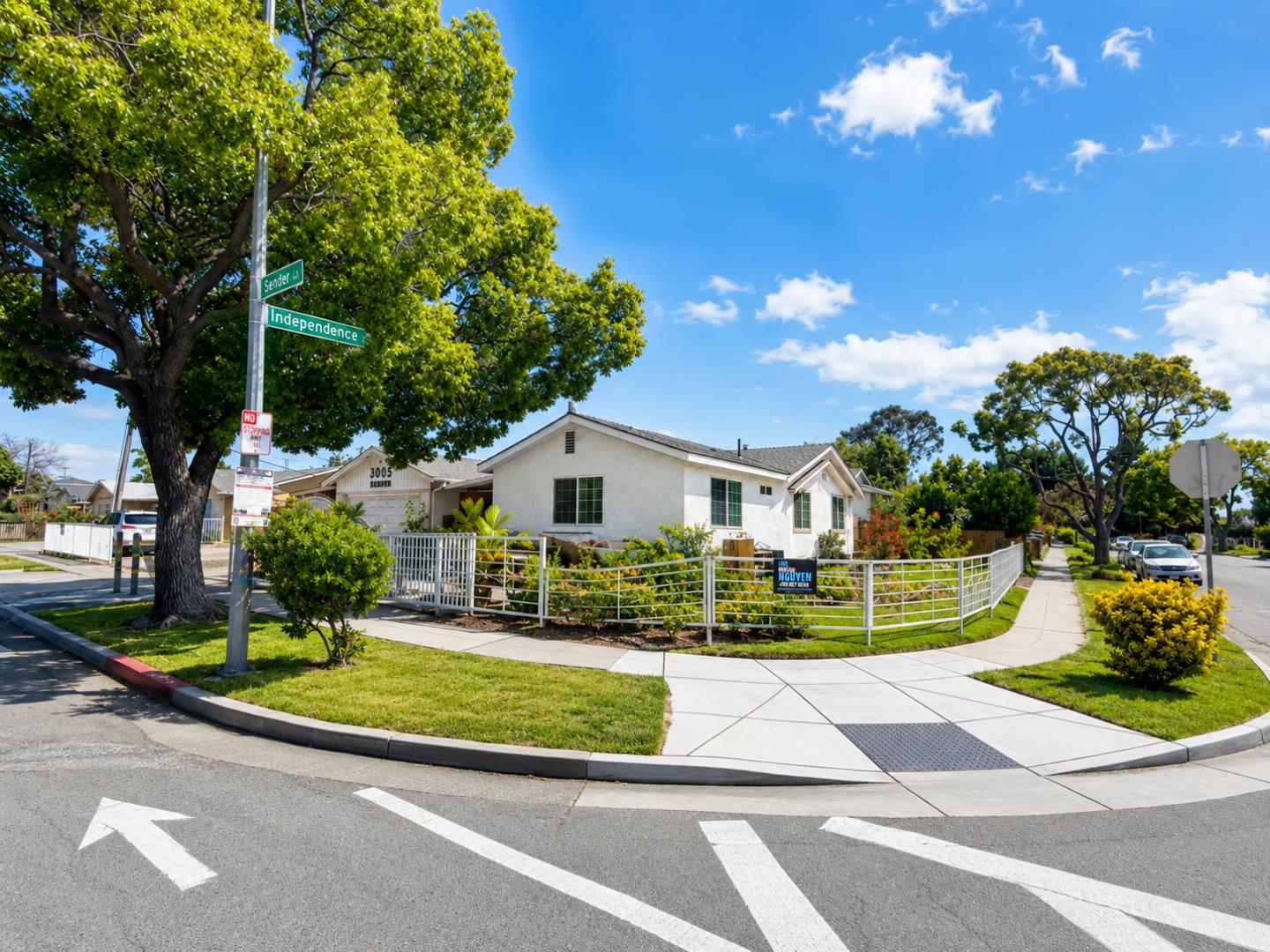
The southern half of the Senter and Monterey corridor has one thing worth flagging up front: the Capitol Caltrain station sits inside it. Set your expectations, though, because Capitol runs only a handful of weekday trains, so it is more a bonus than a real commute anchor. Otherwise this is the same story as its northern twin, post-war tract homes set back from the Monterey Highway between two working arterials in the flat middle of south San Jose. ... See Full Page
Tamien, San Jose, CA
Keywords: Tamien Station, Transit Hub, Guadalupe River
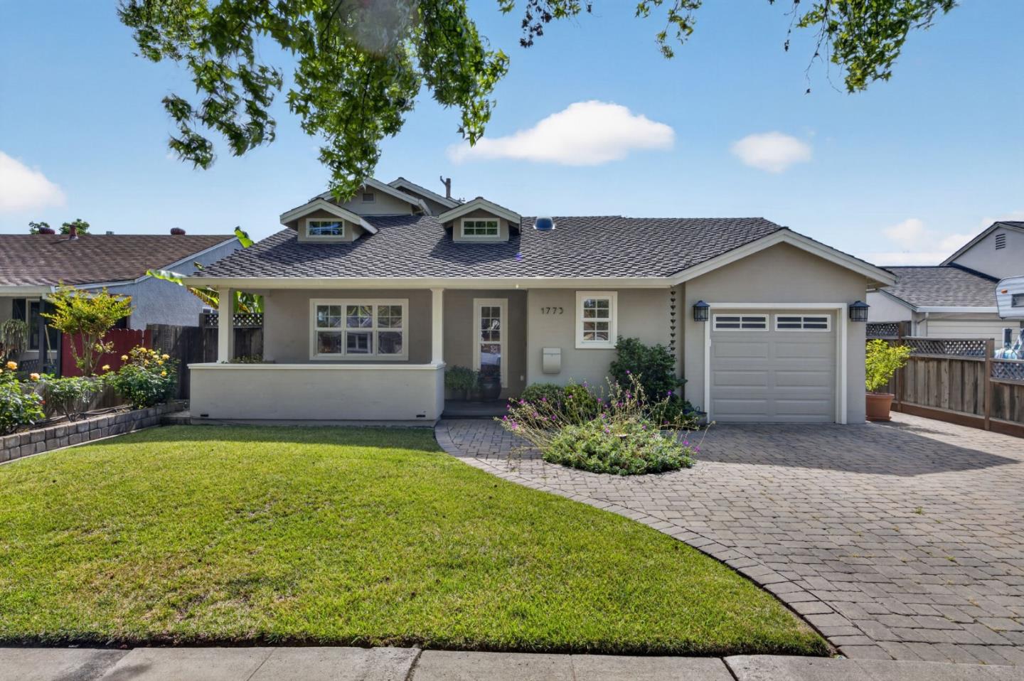
Tamien is defined by its station, and even its name reaches back further, to the Tamien band of the Ohlone who lived along these waterways. The Tamien transit hub, where Caltrain meets VTA light rail, sits right in the neighborhood, which makes this one of the best-connected addresses in San Jose for anyone who commutes without wanting to drive. The city spent years planning the new Tamien Park, which finally added real green space, and transit-oriented apartments, including affordable homes, have gone up around the station. ... See Full Page
Little Portugal, San Jose, CA
Keywords: Alum Rock Avenue, Portuguese Heritage, Future BART
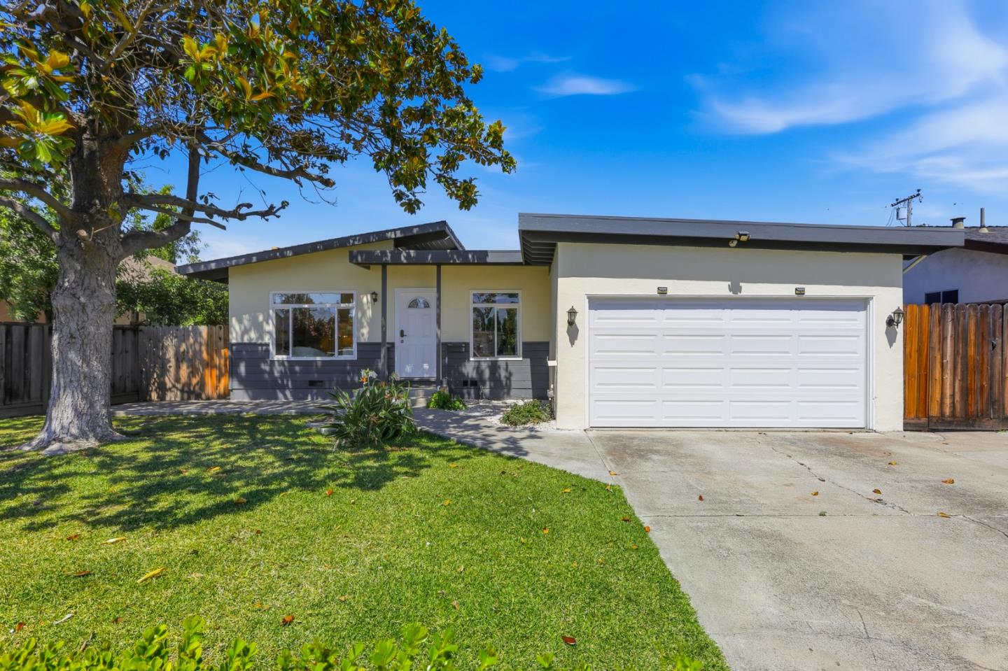
Little Portugal is a cultural corridor as much as a neighborhood, the historic heart of one of the largest Azorean Portuguese communities in the country. Portuguese immigrants, most from the Azores, settled the Santa Clara Valley from the mid-19th century, and their bakeries, markets, fraternal halls and radio built a genuine ethnic main street along the stretch of Alum Rock Avenue where East Santa Clara Street changes name. ... See Full Page
Little Saigon, San Jose, CA
(2) City data used
Keywords: Story Road, Vietnamese Business District, Night Market
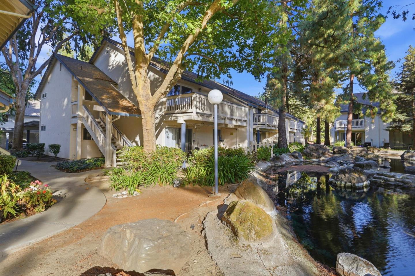
Little Saigon is the beating heart of a Vietnamese community that arrived after the Fall of Saigon in 1975 and grew into what is now the largest Vietnamese population of any single city outside Vietnam. Story Road is its main stage, lined with Vietnamese restaurants, groceries and the big business centers, Grand Century Mall, which opened in 2000, and the newer Vietnam Town beside it, with a seasonal night market that turns the area into a regional destination. ... See Full Page
Mt. Pleasant North, San Jose, CA
Keywords: Foothill Blocks, Hill Backdrop, Quiet Streets
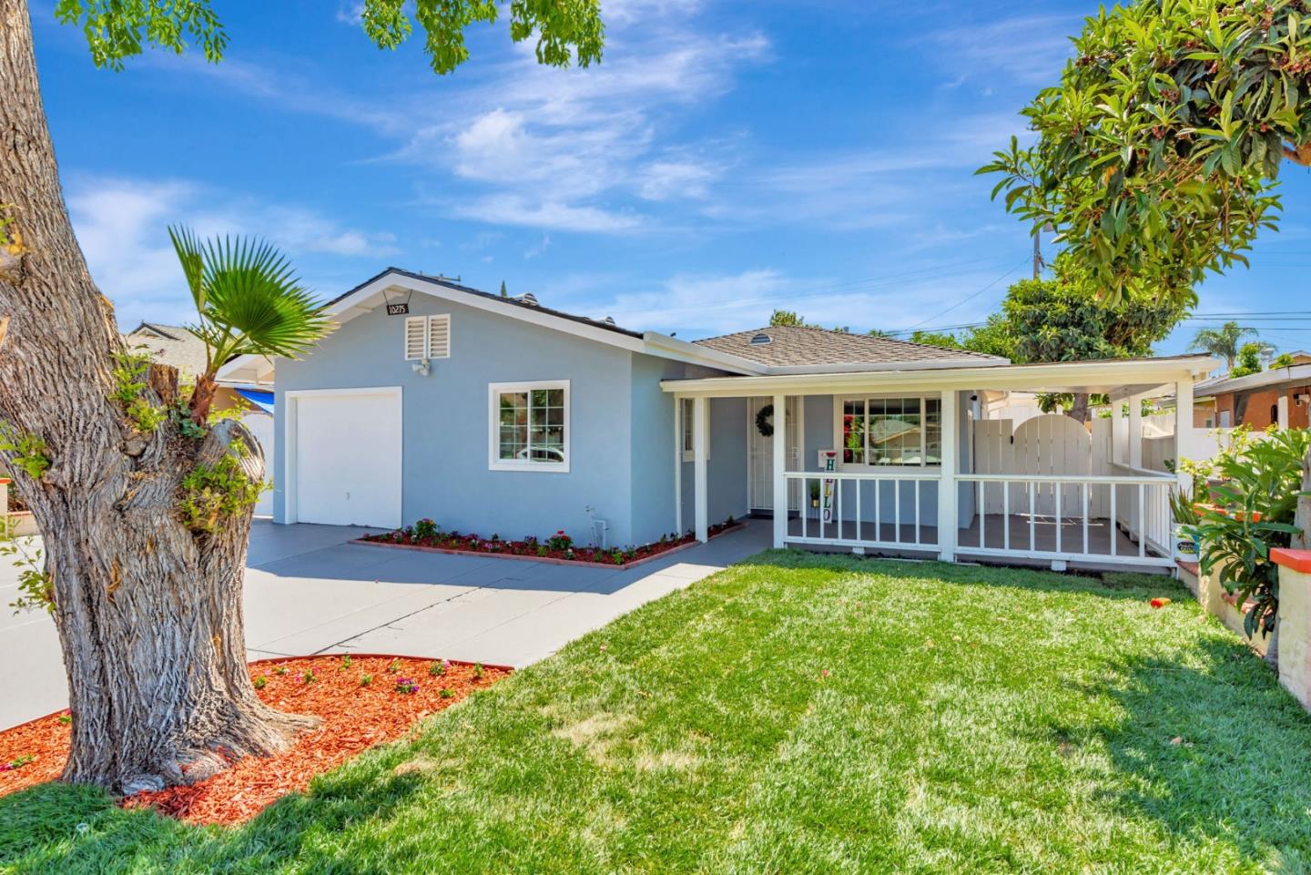
Mt. Pleasant North is the quieter, higher extension of the Mt. Pleasant area, where the East Side neighborhoods keep climbing toward the foothills. It is a residential pocket of single-family homes on the rising ground, sharing the calm, slightly-tucked-away character of the foothill belt, with the hills as a constant backdrop and the open country not far above. ... See Full Page
San Jose State University, San Jose, CA
(1) Limited data(2) City data used
Keywords: University Campus, MLK Library, Downtown Edge
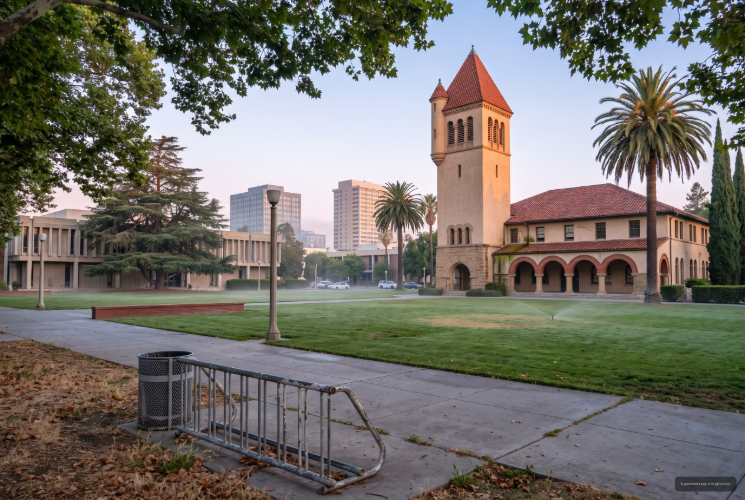
This is the San Jose State University campus itself, so neighborhood means something different here: it is an institutional district rather than a for-sale housing market. The heart of it is the university, more than 36,000 students at the oldest public university campus in California, plus the striking joint Dr. Martin Luther King Jr. Library shared with the city at the downtown edge. Life runs on the academic calendar, with campus-serving cafes and food along San Carlos and San Fernando Streets and downtown's dining and nightlife immediately west. ... See Full Page
Santana Row, San Jose, CA
(1) Limited data(2) City data used
Keywords: Upscale Mixed-Use, Walkable Shopping, Valley Fair Nearby
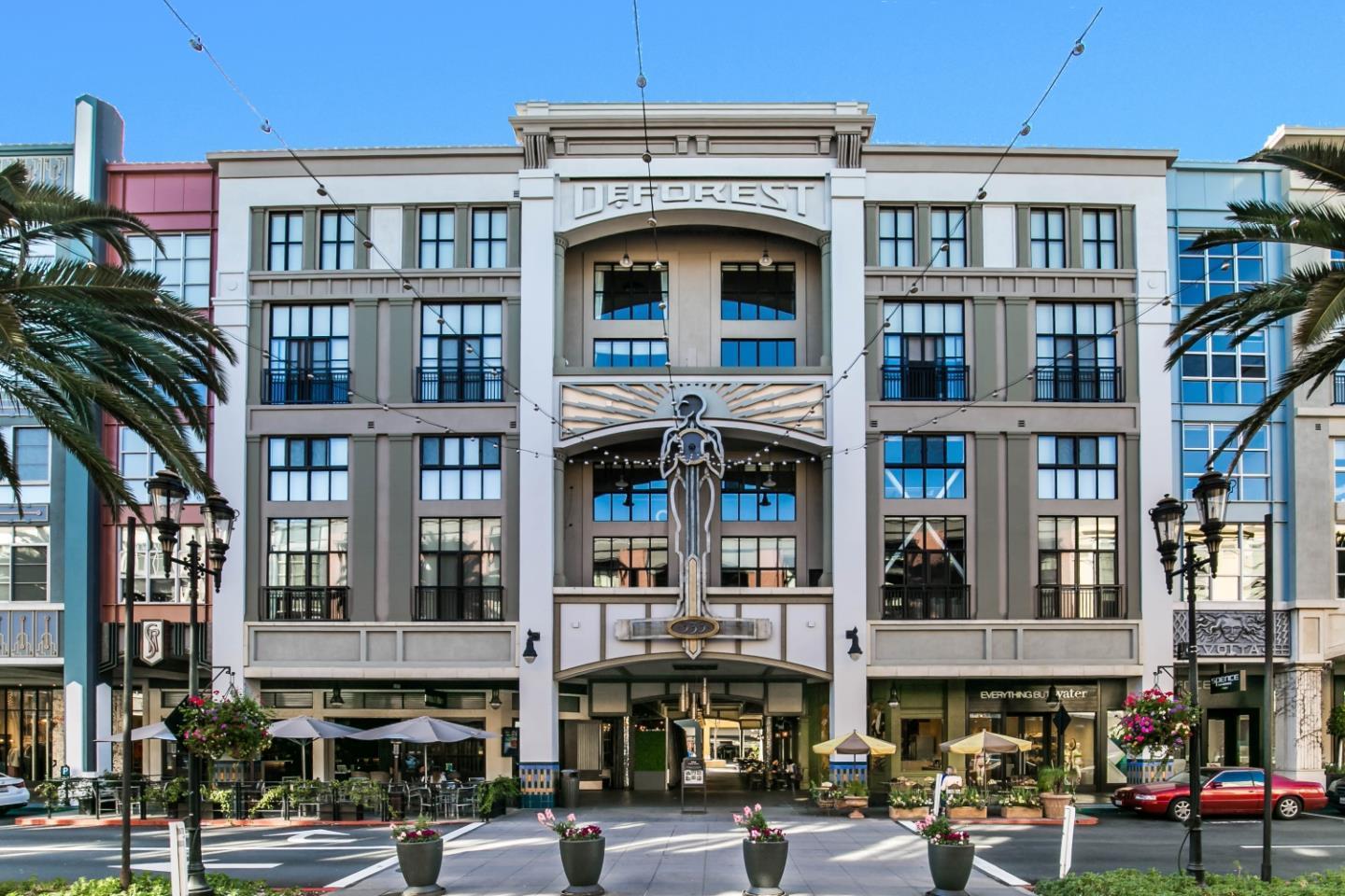
Santana Row is the closest San Jose comes to a European shopping street, and living here means living on top of it. Federal Realty built the roughly 42-acre mixed-use district on the site of an aging 1960s shopping center, and its debut was dramatic: a huge eight-alarm fire tore through the largest building about a month before opening in August 2002, yet the project still opened that November. Today it packs designer shops, dozens of restaurants, a hotel, a theater and a growing roster of tech offices into a walkable, pedestrian-first streetscape with tree-lined lanes and small plazas. ... See Full Page
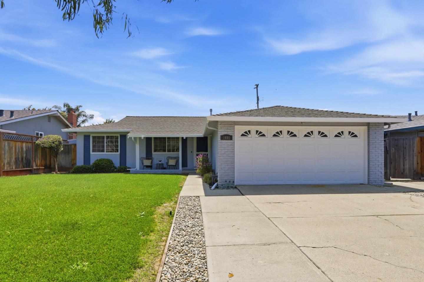
Tropicana Lanai South, San Jose, CA
Keywords: King-Story Area, Older Blocks, Central East Side
The southern Tropicana neighborhood is a modest, older residential pocket in central East San Jose, southeast of the busy King and Story intersection. It is flat, single-family fabric on quiet interior streets, close to the Tropicana Shopping Center just to the northwest and to the King and Story retail nodes, with a new light-rail station under construction a mile or so east on Capitol Expressway that will improve transit over time. ... See Full Page
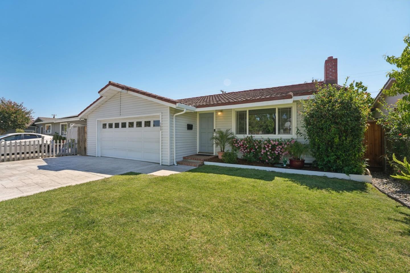
Alexander, San Jose, CA
(2) City data used
Keywords: Goss School, Alum Rock Corridor, Quiet Streets
Alexander is a quiet residential pocket of East San Jose just north of the Alum Rock Avenue corridor, anchored by the neighborhood's Goss campus. It is flat, older single-family fabric on calm interior streets, an affordable, central part of the city that sits close to the cultural energy of Little Portugal and the Alum Rock retail without being right on top of it. ... See Full Page
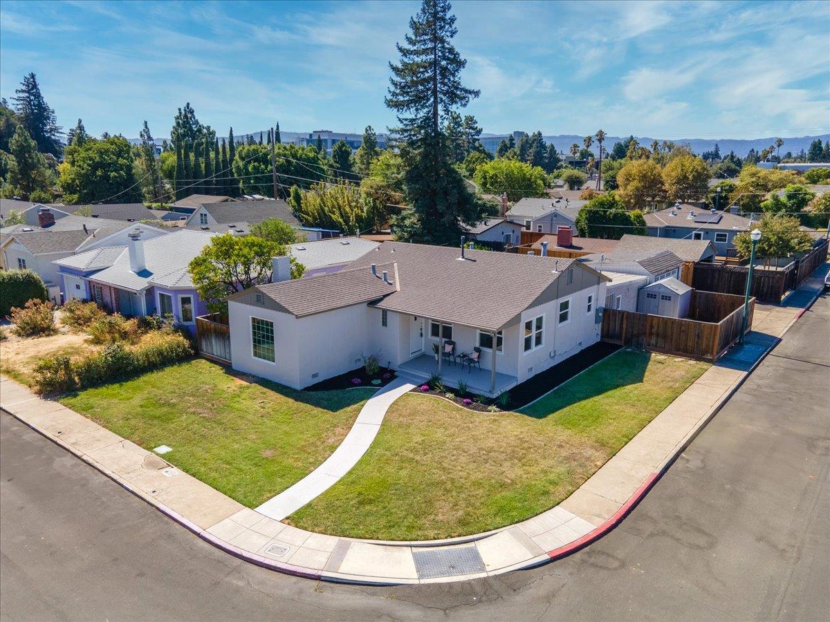
Buena Vista, San Jose, CA
(2) City data used
Keywords: Central-West Position, Established Blocks, Alameda Reach
Buena Vista is a broad, established swath of central-west San Jose, stretching from the Bascom Avenue area toward the downtown and Guadalupe River edge. Because it covers so much ground, its character shifts as you move across it, from quieter residential blocks on the west toward the busier corridors nearer downtown and The Alameda. ... See Full Page
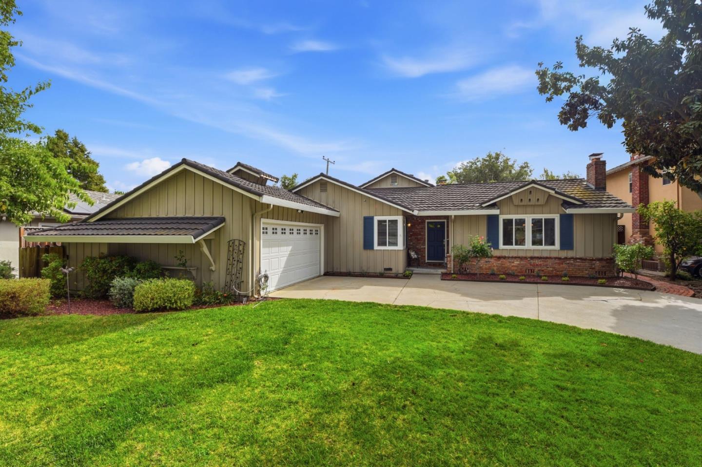
Burbank, San Jose, CA
Keywords: Unincorporated Island, Bascom Corridor, County Pocket
Burbank is one of the Bay Area's odder jurisdictional quirks: an unincorporated county island surrounded on all sides by the City of San Jose, tucked along the Bascom Avenue corridor between West San Carlos Street and Interstate 280. That means parts of it get county rather than city services, and the school and jurisdiction lines can differ block to block, which is the key thing to verify before buying. ... See Full Page
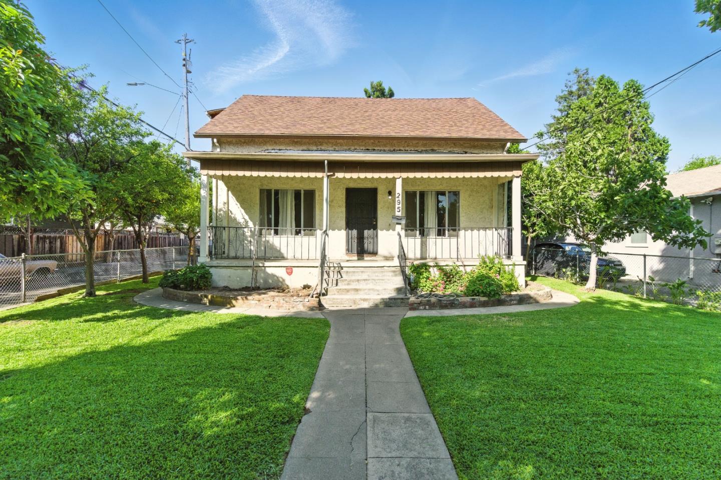
McKinley-Bonita, San Jose, CA
Keywords: McKinley Elementary, Prusch Nearby, Coyote Creek
McKinley-Bonita is a quiet residential pocket of East San Jose that takes its name from its elementary school and one of its main streets. It sits between Coyote Creek on the west and King Road to the east, just south of the busy Santa Clara Street and Alum Rock corridors, which keeps its interior calmer than the arterials around it. ... See Full Page
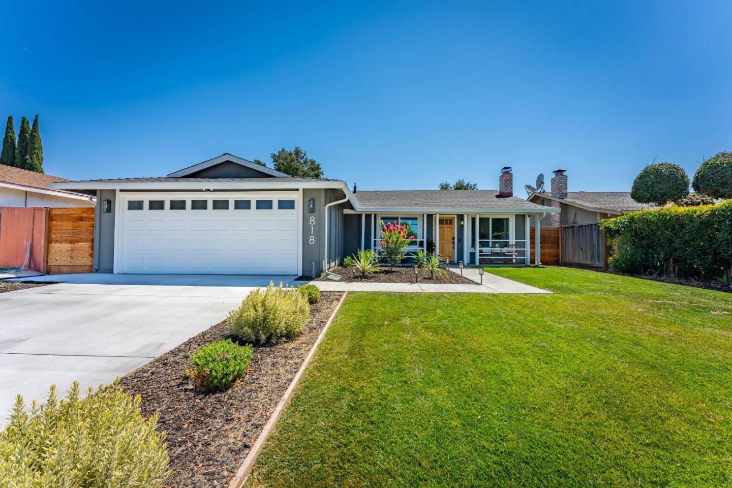
Seven Trees East, San Jose, CA
(2) City data used
Keywords: Coyote Creek Edge, Senter Corridor, Modest Tracts
The eastern slice of Seven Trees runs out toward Coyote Creek and US-101, and that creek greenbelt is quietly its best feature. These are older, mid-century tract homes on flat ground, part of the larger Seven Trees community but sitting on its quieter, more residential edge along Senter Road. The Coyote Creek Trail on the east side gives residents a real ribbon of green and a walking and biking route that most tracts this modest never get. ... See Full Page
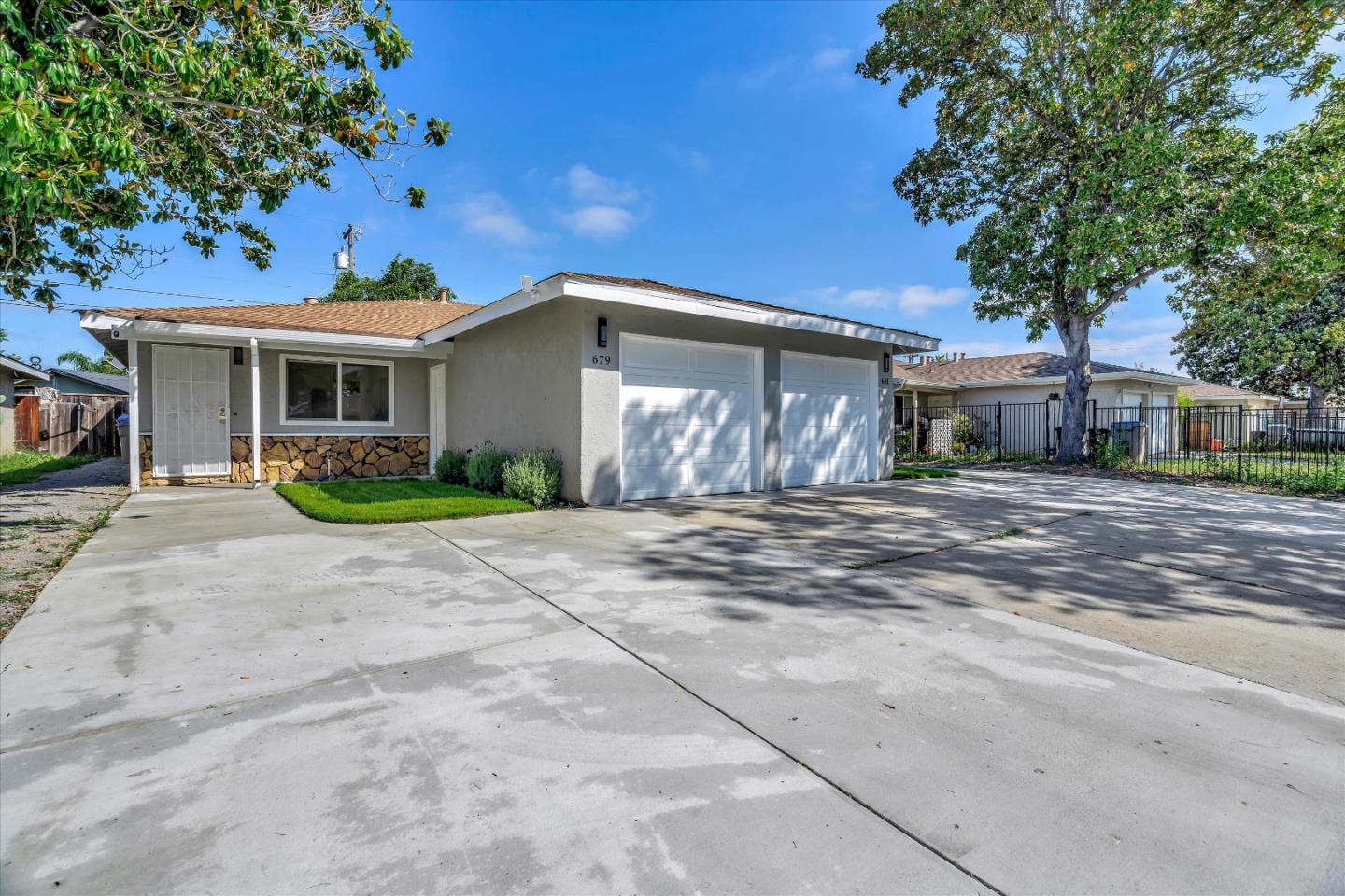
Seven Trees North, San Jose, CA
(2) City data used
Keywords: Andrew Hill Campus, Capitol Corridor, Post-war Tracts
The northern end of Seven Trees is anchored by Andrew P. Hill High School, whose big campus and fields sit right in the middle of the neighborhood and set its rhythm. This is post-war single-family tract territory on the flat valley floor, framed by Senter Road, Monterey Highway and Capitol Expressway, part of the broader Seven Trees community but on its more arterial northern edge. ... See Full Page
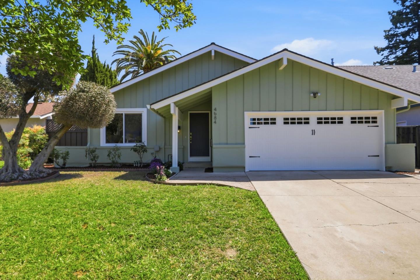
Seven Trees South, San Jose, CA
Keywords: Civic Core, Solari Park, Dense Older Tract
Seven Trees is one of the older, tighter-knit working neighborhoods of south-central San Jose, an area that spent decades as an unincorporated pocket before annexation and still keeps a distinct, self-contained identity. Its southern blocks sit closest to the community's civic heart: the cluster of Solari Park, the Seven Trees community center and branch library, and the neighborhood elementary gives this area a real shared center, which counts for a lot in a part of the city built dense and modest. ... See Full Page
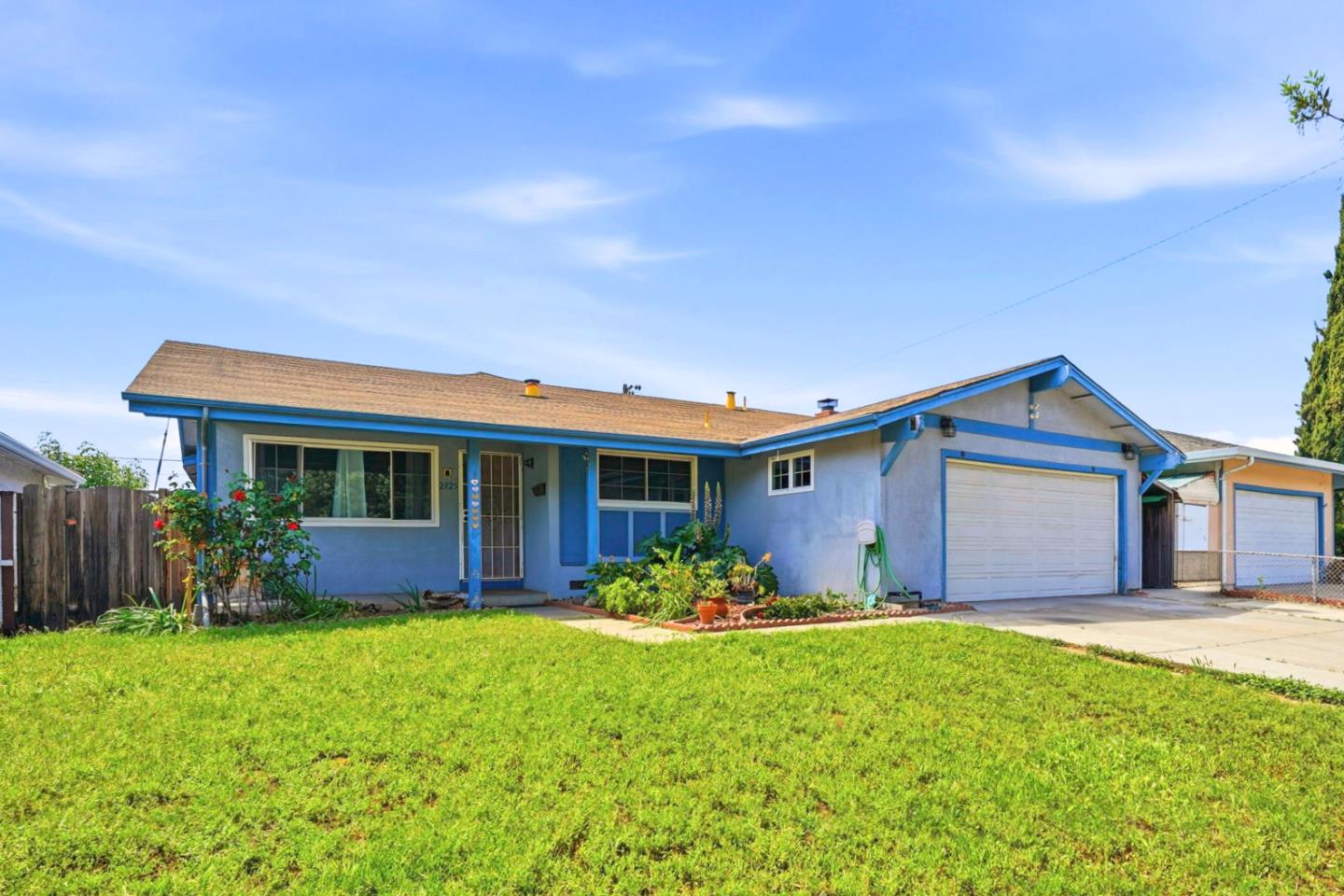
Tanglewood El Monte, San Jose, CA
(2) City data used
Keywords: Capitol Expressway, Light-Rail Coming, Residential Tract
Tanglewood El Monte is a residential East San Jose neighborhood near the Capitol Expressway, named for a pair of its streets, and its biggest near-term story is transit: the light-rail extension being built along Capitol Expressway will put a station close to its eastern edge. ... See Full Page
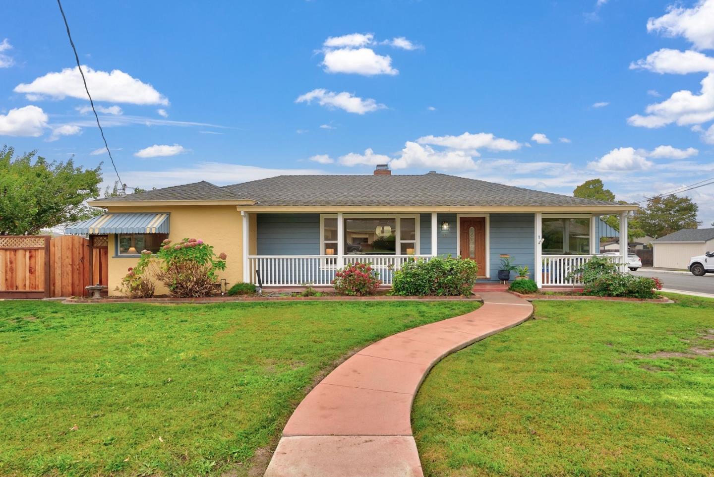
Alum Rock, San Jose, CA
Keywords: Alum Rock Park, Penitencia Creek, Foothill Gateway
Alum Rock is the gateway to the East Side foothills, strung along the avenue of the same name that once carried streetcars up to the canyon. Its signature draw is Alum Rock Park, set aside by the state legislature in 1872 and long promoted as California's oldest municipal park, a 720-acre wild canyon of trails in the Diablo foothills. The name is actually a geologic mix-up: settlers thought a whitish crust on a rock near the entrance was alum, when it is really a sodium-sulfate mineral, and the label stuck to the rock, the canyon and eventually the neighborhood. ... See Full Page
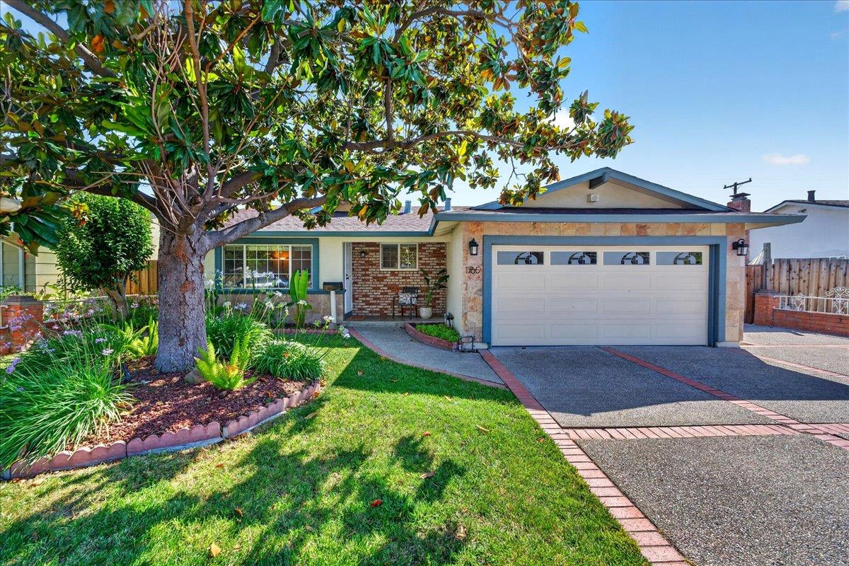
Cassell / Ocala, San Jose, CA
Keywords: Ocala Middle, Cassell Elementary, Light-Rail Coming
Cassell / Ocala is a residential neighborhood in East San Jose named, sensibly, for the two schools that anchor it: Sylvia Cassell Elementary and Ocala Middle both sit inside the boundaries, which gives this flat, single-family pocket a school-centered, family identity. It runs east of King Road toward Capitol Expressway. ... See Full Page
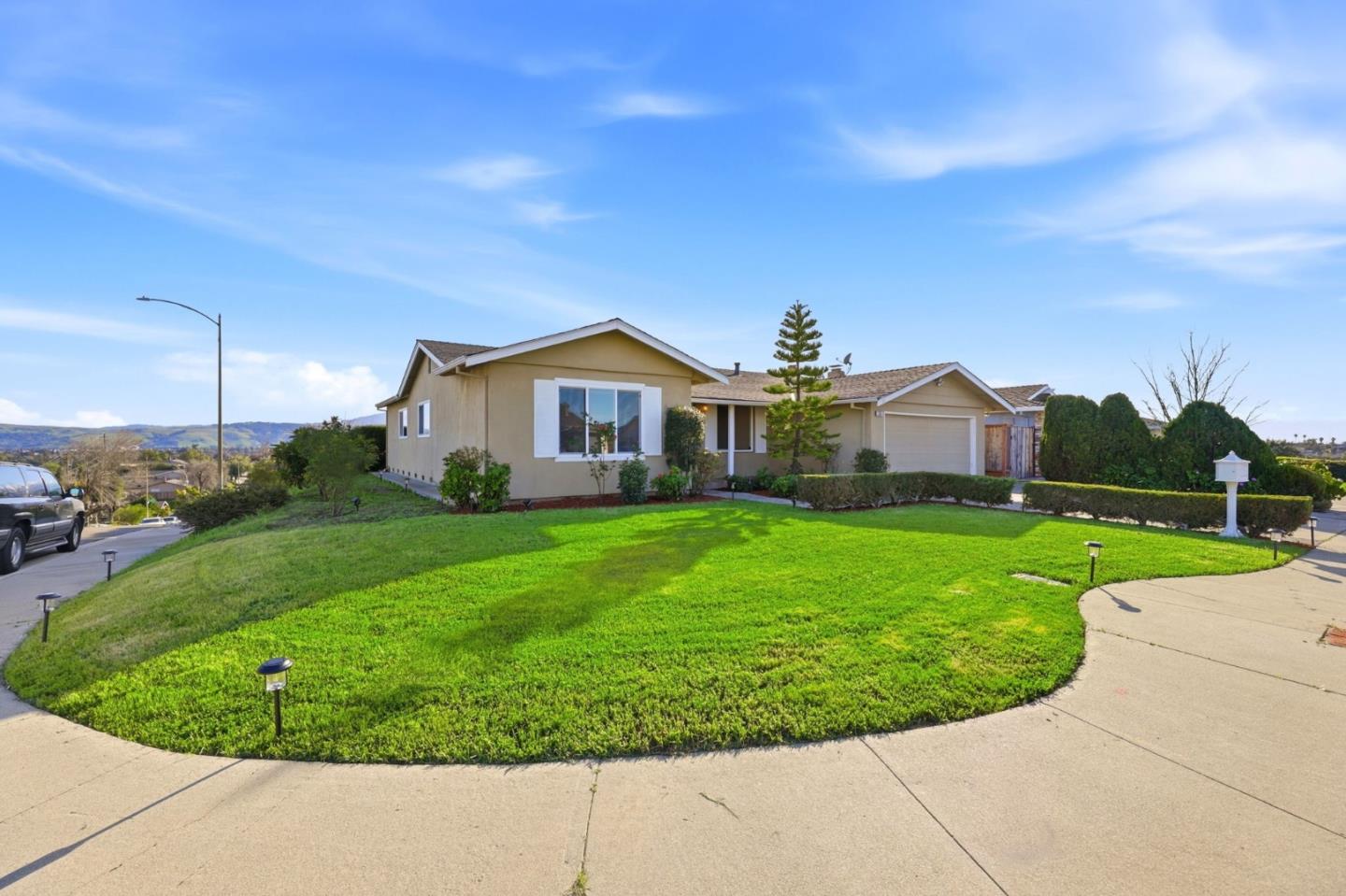
Edenvale Great Oaks, San Jose, CA
Keywords: Business-Park Edge, Coyote Creek, Valley-Floor Tracts
Edenvale Great Oaks is the working seam between Edenvale's residential blocks and the Great Oaks Boulevard business park, and it is honest about being both. These are flat valley-floor tracts with an elementary school at hand, sitting close to the large employers and light-industrial buildings that give this part of south San Jose its daytime population. US-101 and Monterey Road frame it, so getting onto the freeway or up the valley is easy, and Coyote Creek and its trail run nearby to the east for a little green relief. ... See Full Page
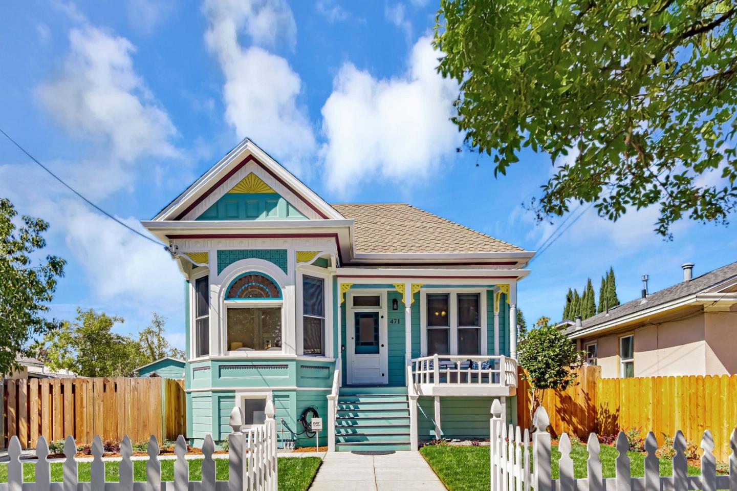
Japantown, San Jose, CA
(2) City data used
Keywords: Historic Japantown, Jackson Street, Cultural Core
Japantown is one of only three historic Japantowns left in the United States, alongside San Francisco's and Los Angeles's Little Tokyo, and it may be the most intact as a working neighborhood. It grew up in the 1890s beside San Jose's old Chinatown, Heinlenville, as Japanese immigrants built boardinghouses, churches and shops, and it survived the rupture of World War II, when residents were forcibly removed to incarceration camps in 1942 under Executive Order 9066 and began returning only in 1945. ... See Full Page
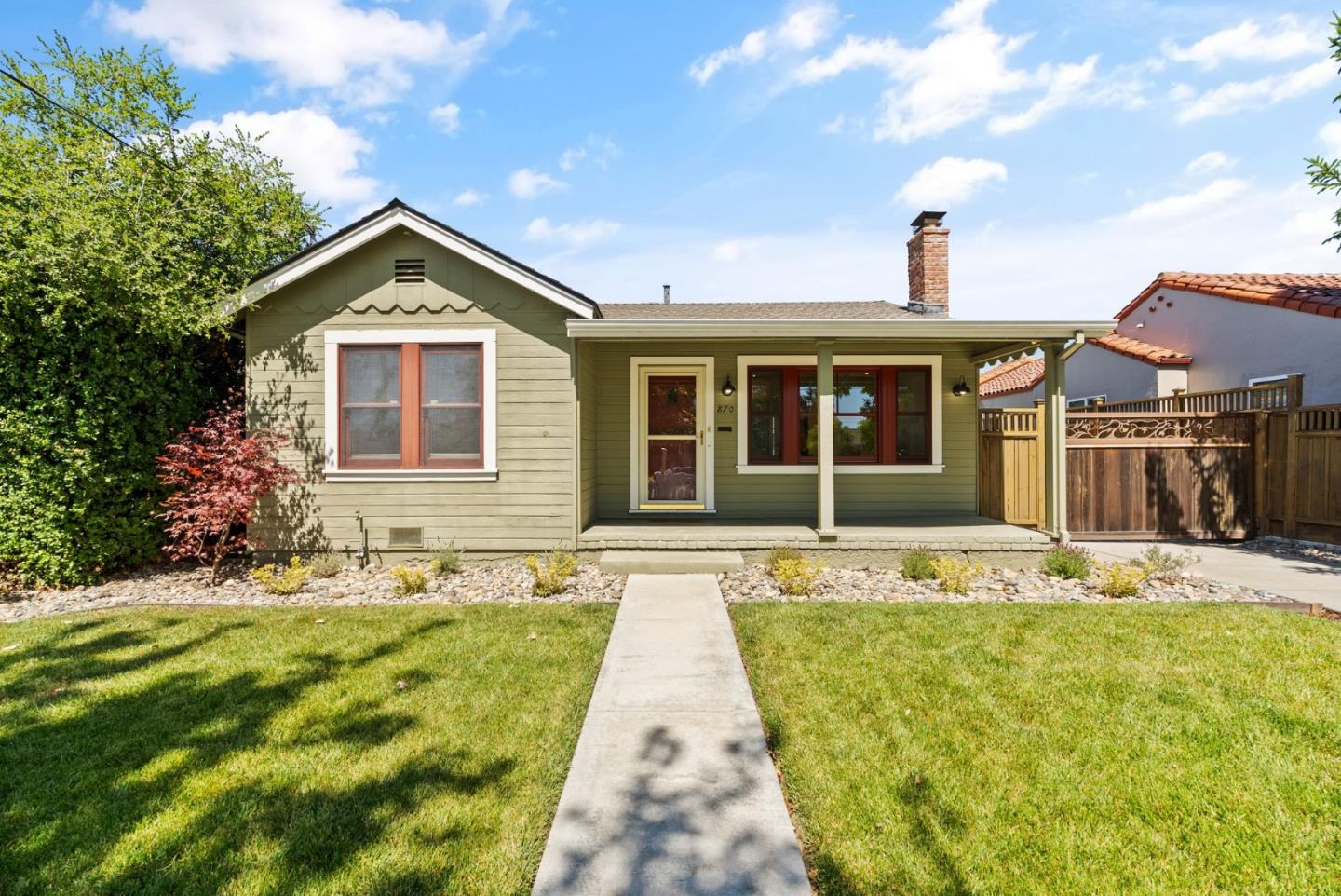
Luna Park, San Jose, CA
(2) City data used
Keywords: Amusement-Park Roots, Older Homes, Freeway Edge
Luna Park carries the name of a long-gone amusement park that drew crowds here from 1907 until 1921, and the neighborhood northeast of downtown kept the name long after the rides came down. Today it is a small, mostly residential pocket of older homes, close to downtown but hemmed by the US-101 and 880 interchange that defines its northern and eastern edges. ... See Full Page
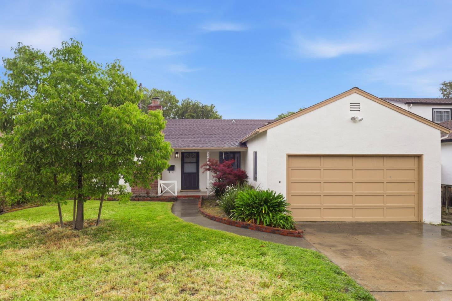
Newhall, San Jose, CA
Keywords: Airport Adjacent, Industrial Edges, Santa Clara Line
Newhall sits right up against Mineta San Jose International Airport near the Santa Clara city line, and that airport defines it. This is an area of older residential pockets mixed with airport-related and industrial land, on the flat ground near the De La Cruz and Central Expressway corridors, and the single biggest thing to understand about living here is the aircraft: planes come and go directly overhead, and the noise is a genuine, constant part of daily life. ... See Full Page
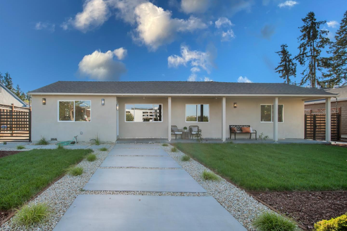
Sherman Oaks West, San Jose, CA
Keywords: Light-Rail Access, Sherman Oaks School, Bascom Corridor
Sherman Oaks West has the best transit access of any of these West Side tracts, and that is its calling card. Several VTA Green Line light-rail stations, Bascom, Fruitdale and Hamilton, sit at or near its edges along the Southwest Expressway, so this is a genuinely rail-connected neighborhood in a part of the city where most are car-only. ... See Full Page
Capitol Goss, San Jose, CA
(2) City data used
Keywords: Dorsa Elementary, Capitol Expressway, Residential Tract
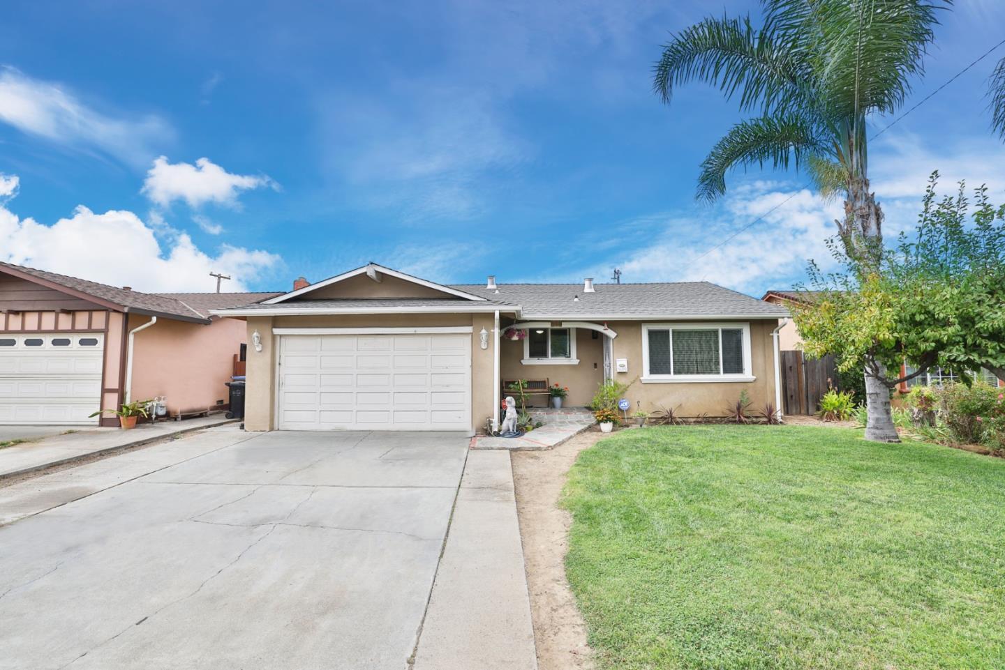
Capitol Goss is a residential East San Jose neighborhood tucked between Alum Rock Avenue and the Capitol Expressway corridor, with A.J. Dorsa Elementary anchoring it from inside. It is flat, older single-family tract stock on quiet interior streets, the kind of settled, affordable pocket that makes up much of the East Side. ... See Full Page
Northside, San Jose, CA
Keywords: Hensley District, Victorian Homes, Central Grid
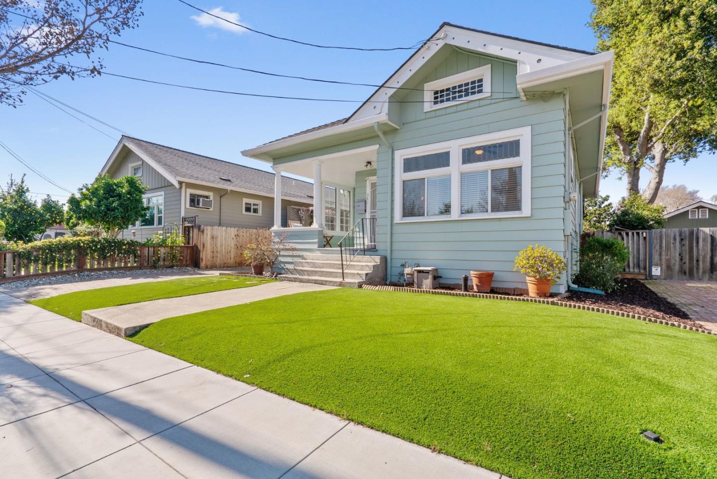
Northside is the historic neighborhood just north of downtown, and its heart is the Hensley Historic District, a well-preserved core of Victorian-era homes, Italianate, Queen Anne and Eastlake styles, largely built between the 1860s and 1930s and listed on the National Register. That district gives Northside genuine architectural character and a real sense of place, with the landmark Hensley House and its turret among the standouts, and Backesto Park just off its southern edge for recreation. ... See Full Page
Tropicana Lanai North, San Jose, CA
(2) City data used
Keywords: Emma Prusch Park, Farm Park, King Road
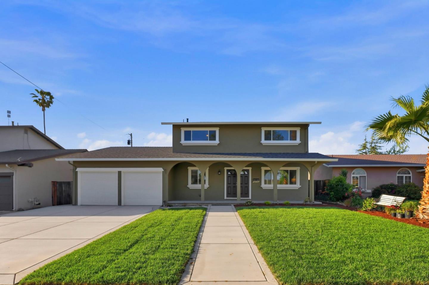
The northern Tropicana neighborhood has an unexpected ace: Emma Prusch Farm Park sits right inside it. That regional farm park, with its orchards, community gardens, rare-fruit trees and wide picnic lawns beside the freeway interchange, is a genuinely distinctive green space and a real asset for a working East Side neighborhood, a working farm essentially in the middle of the city. ... See Full Page
College Park, San Jose, CA
Keywords: Bellarmine Campus, The Alameda, Period Homes
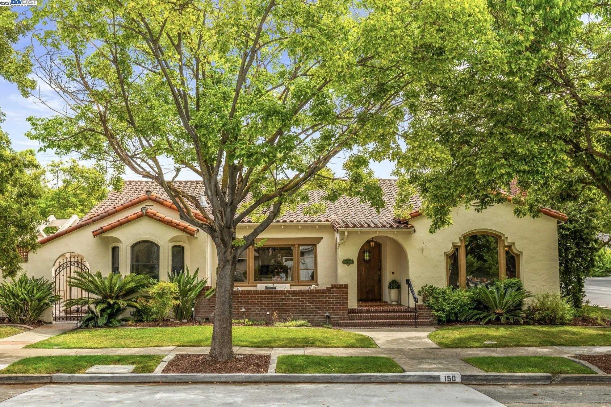
College Park has carried that name since 1871, when the University of the Pacific built its campus on the site, and today Bellarmine College Prep occupies that ground and anchors the neighborhood. It is an older, central pocket between The Alameda and Highway 880, with clusters of early-1900s homes and a small Caltrain station of its own, though that station runs only a few trains a day, so treat it as a curiosity more than a commute plan. ... See Full Page
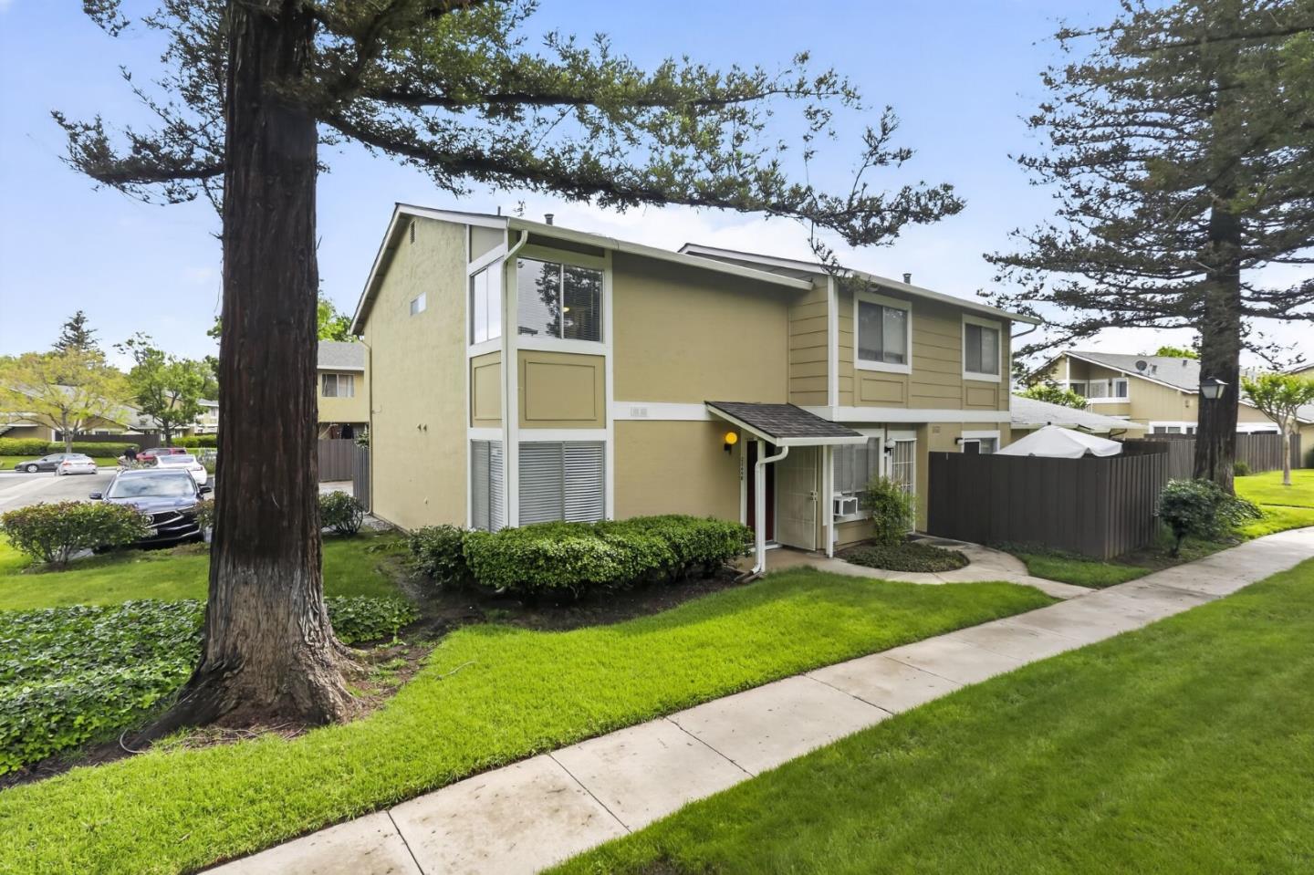
Tully Senter, San Jose, CA
(2) City data used
Keywords: Kelley Park, Happy Hollow Zoo, Coyote Creek
Tully Senter's secret weapon is Kelley Park, and it is a big one. Tucked along Coyote Creek at the neighborhood's edge, this 150-plus-acre park packs in Happy Hollow Park and Zoo, History San Jose's village of relocated landmark buildings, the serene Japanese Friendship Garden and a disc-golf course. That is a genuinely exceptional cluster of recreation and culture for a working part of the city, the kind of thing families drive across the valley to reach and residents here can walk to. ... See Full Page
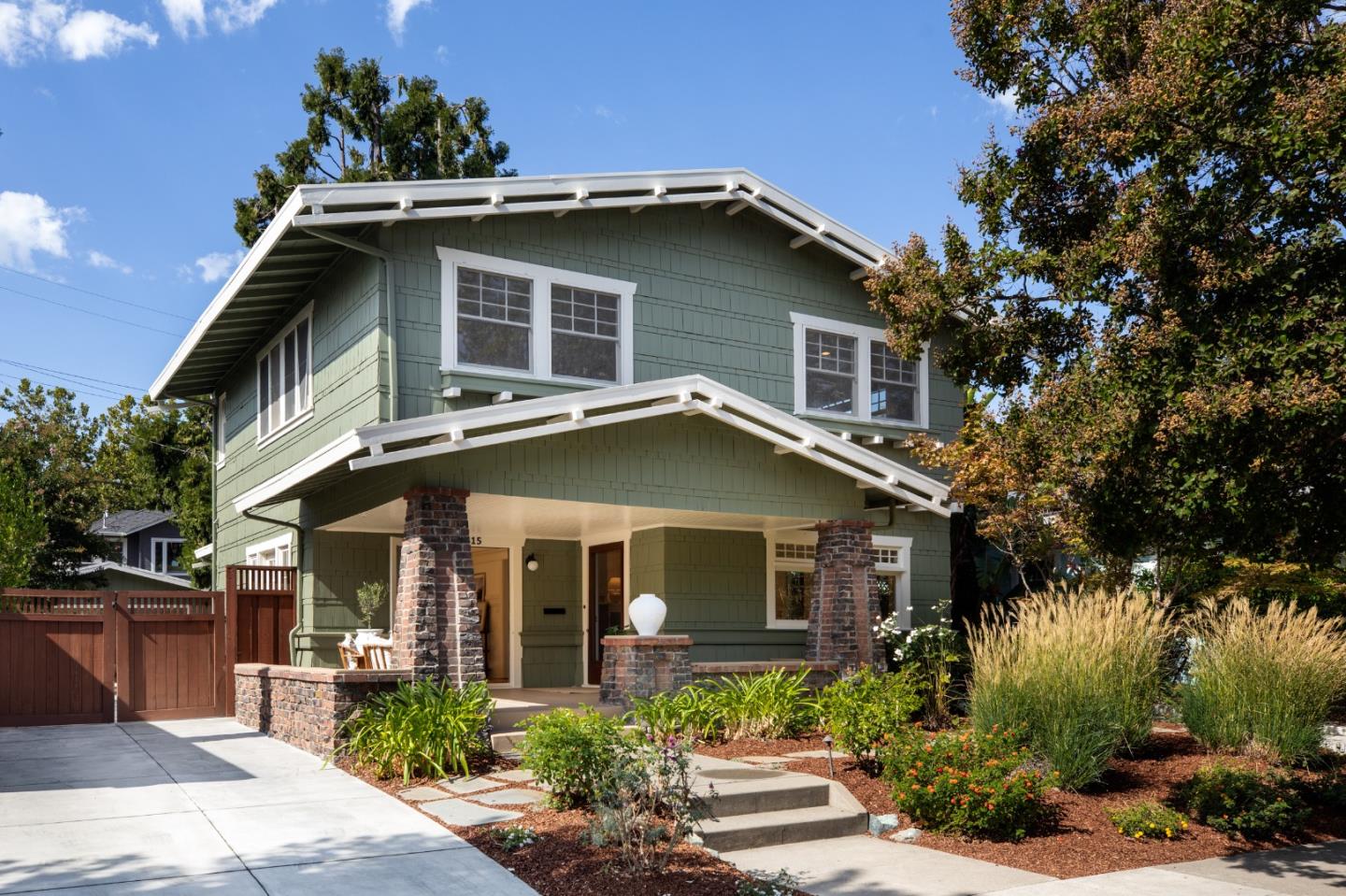
Naglee Park, San Jose, CA
Keywords: Historic Craftsman, Conservation Area, Downtown Walkable
Naglee Park is the grand old neighborhood just east of downtown and San Jose State, and it wears its history openly. It was created in 1902 by subdividing the estate and vineyard of Brigadier General Henry Morris Naglee, a Civil War officer, San Francisco banker and pioneering valley winemaker, nearly two decades after his death, and most of its homes went up in the early 1900s, some as displaced residents moved south after the 1906 San Francisco earthquake. ... See Full Page
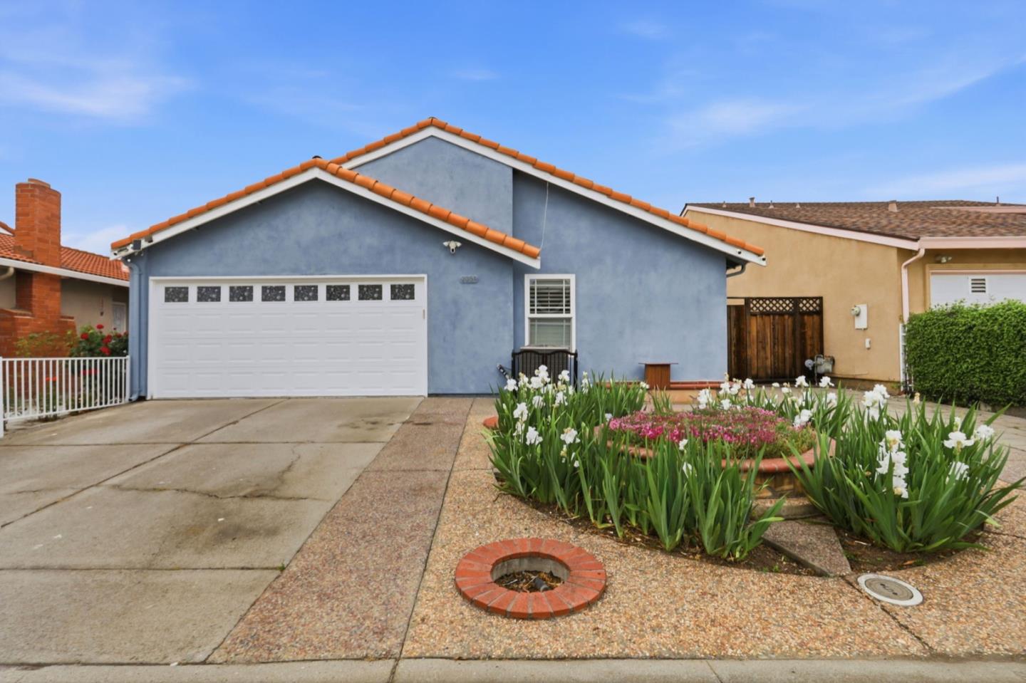
Meadowfair, San Jose, CA
(2) City data used
Keywords: Meadowfair Park, Music Streets, Eastridge Access
Meadowfair is one of East San Jose's more distinctive tracts, and not just for its layout, though that is part of the fun: it is a piano-shaped grid of two-story homes with music-themed street names, one of the area's established, historically Chicano neighborhoods. Meadowfair Park sits inside it with courts and playgrounds. ... See Full Page
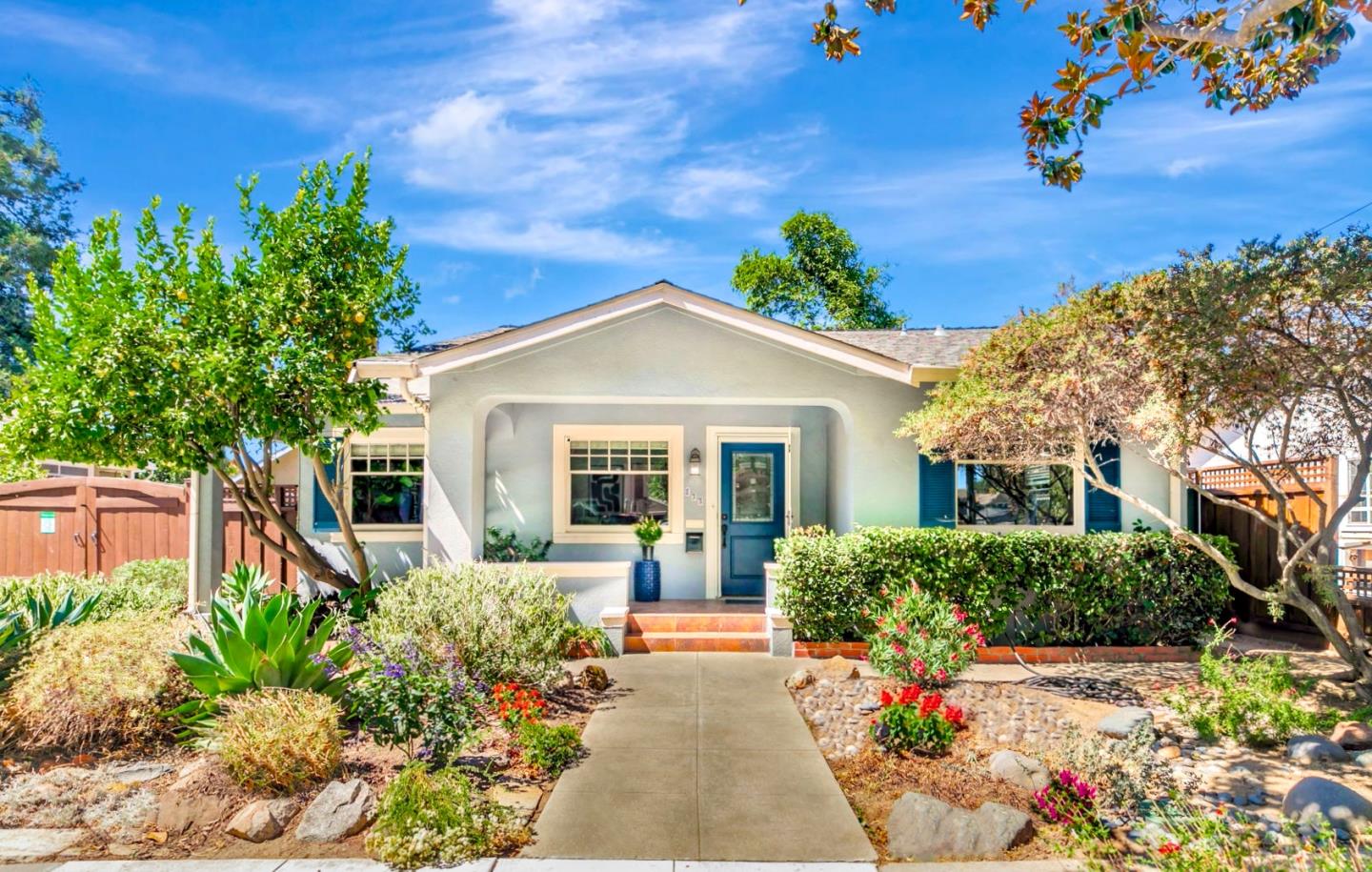
Roosevelt Park, San Jose, CA
(2) City data used
Keywords: Roosevelt Park, Five Wounds Church, Active Recreation
Roosevelt Park is a working-class neighborhood on downtown's eastern flank, anchored by real community assets. Its namesake park and community center bring a skate park, a roller-hockey rink and ball courts, and the landmark Five Wounds Portuguese National Church, built partly from materials salvaged from the 1915 Panama-Pacific Exposition in San Francisco, sits inside the neighborhood, tying it to the Little Portugal corridor next door. ... See Full Page
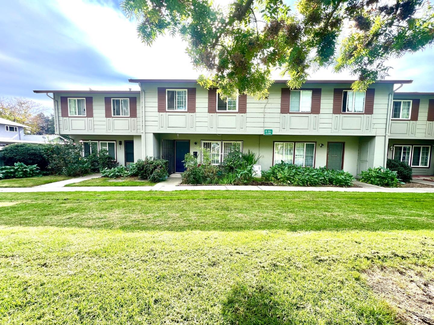
Dobern, San Jose, CA
(2) City data used
Keywords: Dobern Avenue, Charter School, Central East Side
Dobern is a compact residential neighborhood of East San Jose built around its namesake avenue, with a Rocketship charter school sitting right on Dobern Avenue inside it. It is flat, older single-family fabric on quiet streets just north of the Alum Rock Avenue corridor, an affordable and central pocket close to Little Portugal's food and businesses and to the freeways. ... See Full Page
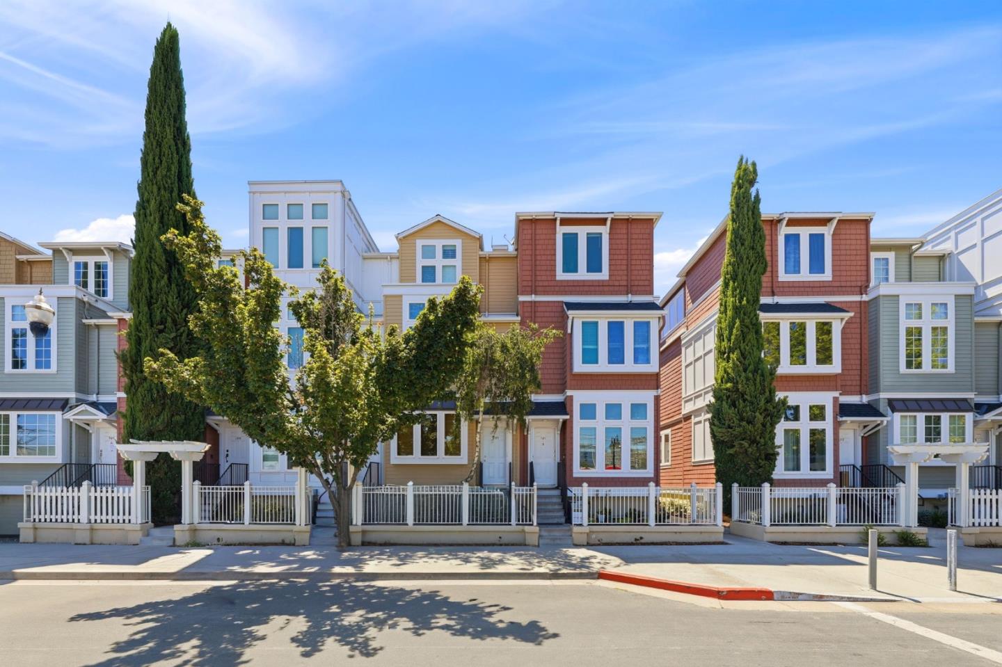
Diridon, San Jose, CA
(2) City data used
Keywords: Diridon Station, Transit Hub, Redevelopment Zone
Diridon is San Jose's transit heart and its biggest question mark at the same time. The station at its center opened in 1935 as Southern Pacific's Italian Renaissance Revival Cahill Depot, was added to the National Register in 1994 and renamed that year for transit champion Rod Diridon, and today it is the city's principal hub for Caltrain, Amtrak, ACE and light rail, with BART and high-speed rail on the way. The SAP Center arena, the 'Shark Tank' where the NHL's Sharks have played since 1993, sits just across the way, so this is the most connected and most event-charged pocket in the city. ... See Full Page
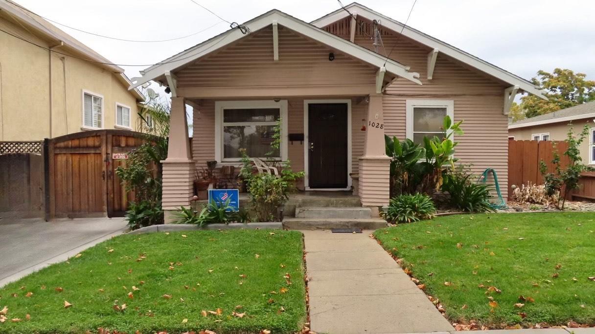
Spartan Keyes, San Jose, CA
(2) City data used
Keywords: SJSU South Campus, Arts Pocket, Industrial Reuse
Spartan Keyes is the gritty, creative pocket just south of downtown, and its name stitches together its two identities: the SJSU Spartans and Keyes Street. San Jose State's south campus, including CEFCU Stadium, sits inside the neighborhood, and the district's old industrial bones, canneries and warehouses that once processed the valley's fruit, have started turning into an arts scene, with spots like Bestor Art Park giving it a distinct identity. ... See Full Page
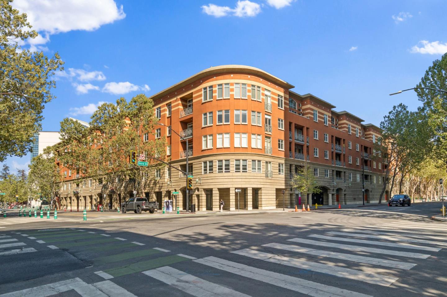
Downtown San Jose, San Jose, CA
Keywords: Urban Core, San Pedro Square, SoFA Nightlife
Downtown San Jose is where California itself began, and it is the closest the South Bay comes to genuine urban living. The Pueblo de San Jose was founded here in 1777 as Alta California's first civilian town, and its last surviving building, the 1797 Peralta Adobe in San Pedro Square, is the oldest structure in the city. San Jose was also California's first state capital, where the first Legislature met in 1849. That history sits within a few blocks of a modern arts-and-nightlife core. ... See Full Page
Scores updated October 2026
Best-Value Neighborhoods
Loading map...
View Full Map
San Jose home value: your questions, answered
How many San Jose neighborhoods are priced below their expected value?
0 of 109 ranked San Jose neighborhoods with a value figure are priced below expected value, and 0 are priced above it.
How does San Jose compare with nearby cities on home value?
0% of ranked San Jose neighborhoods are priced below expected value. The nearest cities are Campbell 95%, Los Gatos 0%, Santa Clara 43%, Monte Sereno 0% and Saratoga 0%.
More San Jose rankings
- Best neighborhoods in San Jose
- Best neighborhoods for schools in San Jose
- Safest neighborhoods in San Jose
- Best neighborhoods for amenities in San Jose
- Most affordable neighborhoods in San Jose
- Fastest-appreciating neighborhoods in San Jose
Zoom out
Nearby value rankings
Campbell · Los Gatos · Santa Clara · Monte Sereno · Saratoga